Great Notley

Settlement in Essex Braintree

England

Great Notley

Farmhouse at Friars Farm
Farmhouse at Friars Farm Credit: Robert Edwards

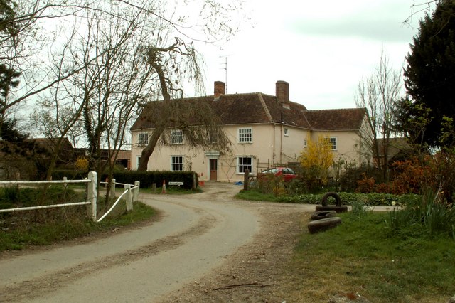
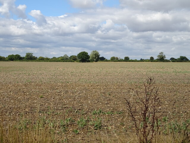
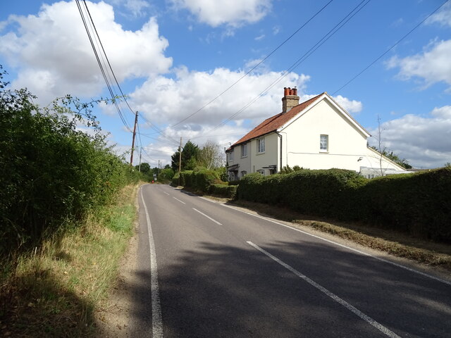
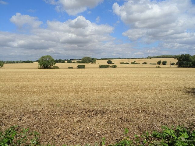
Great Notley is a village located in the Braintree district of Essex, England. It is situated approximately 3 miles north of Braintree town center. The village is known for its picturesque setting, surrounded by open countryside and farmlands.

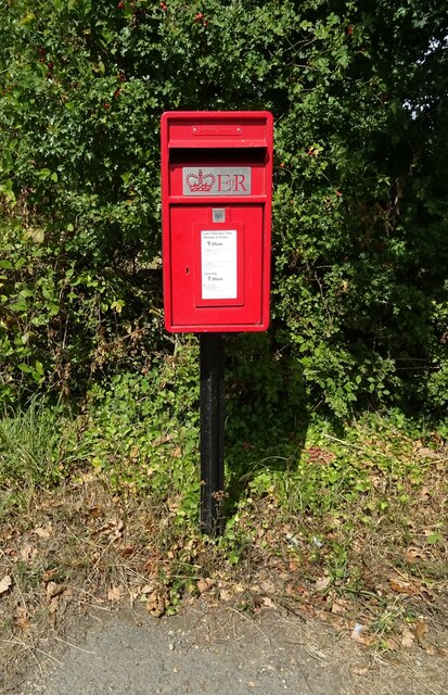
Great Notley has a population of around 6,000 residents and offers a peaceful and friendly community atmosphere. The village boasts a range of amenities and facilities, making it an attractive place to live. It has a primary school, a community center, a post office, and a local convenience store, providing essential services for its residents.

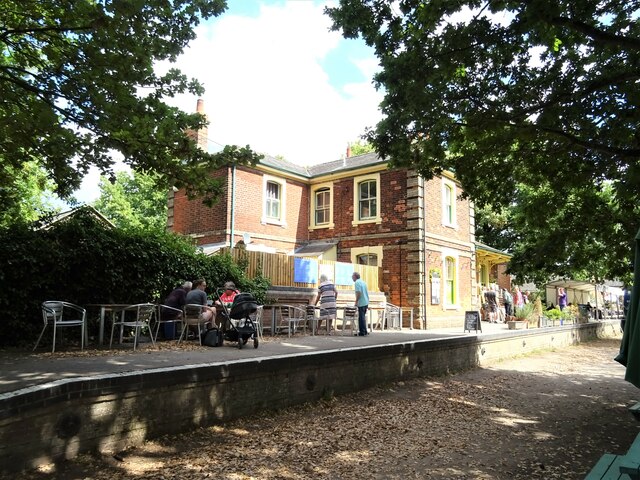
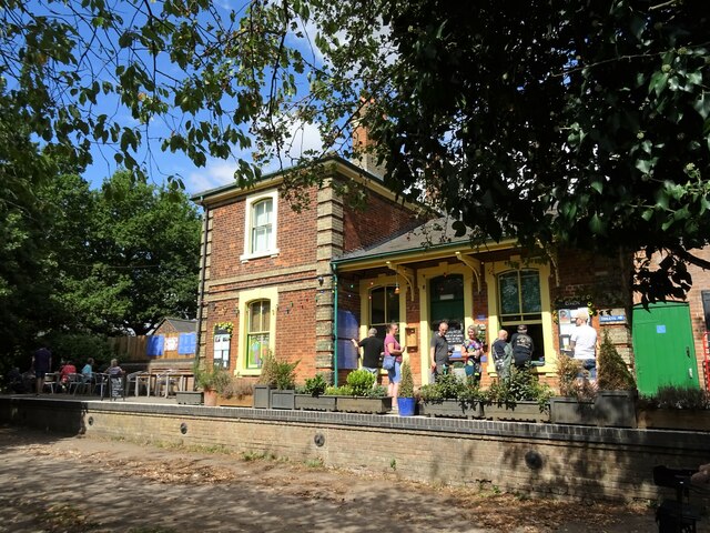
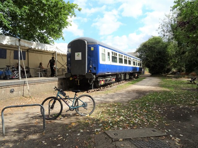
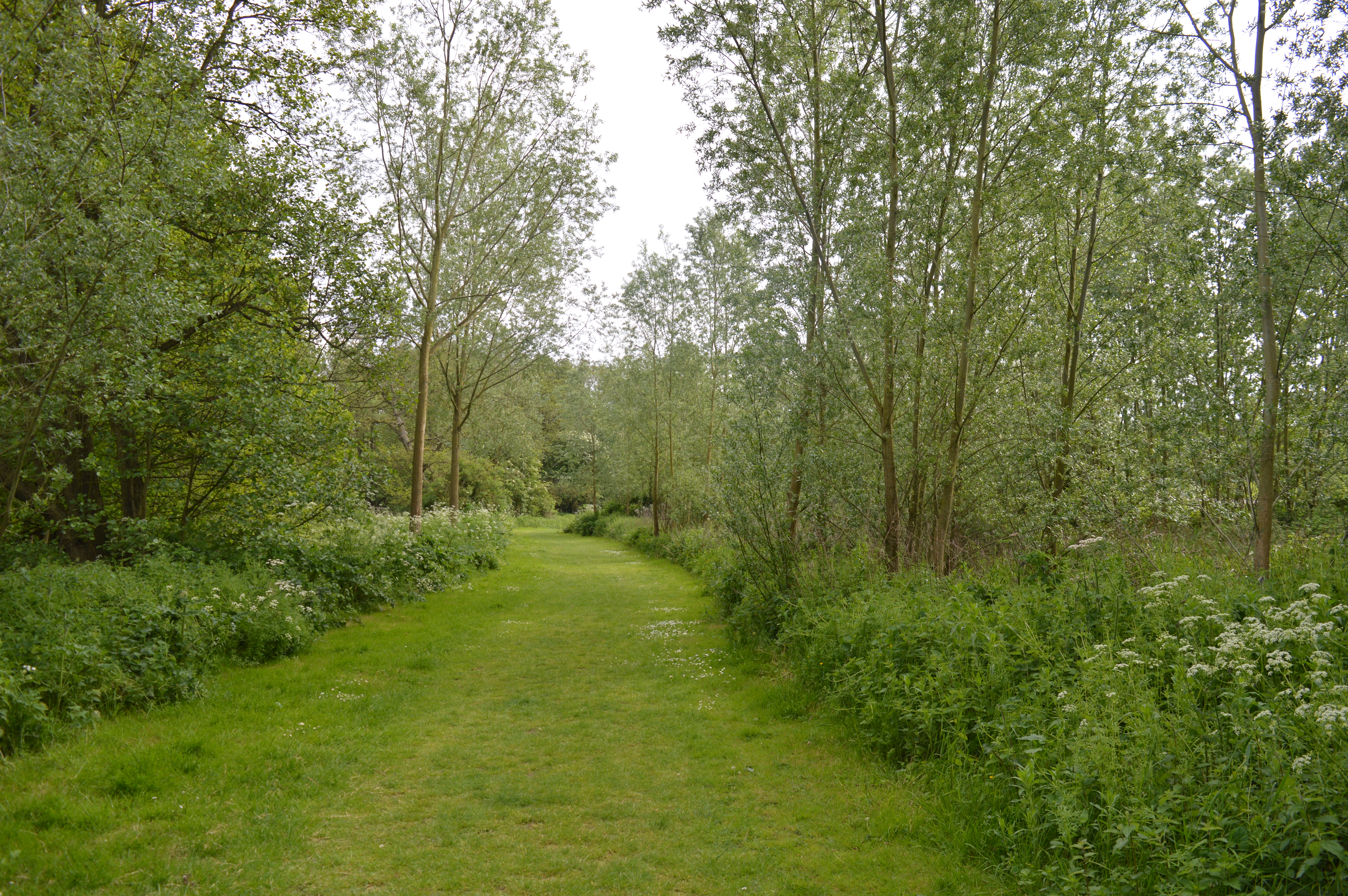
One of the highlights of Great Notley is the Great Notley Country Park, which covers an area of 100 acres. The park offers a variety of recreational activities, including walking trails, cycling paths, and a fishing lake. It is popular among locals and visitors alike, providing an ideal spot for outdoor leisure and relaxation.

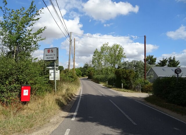
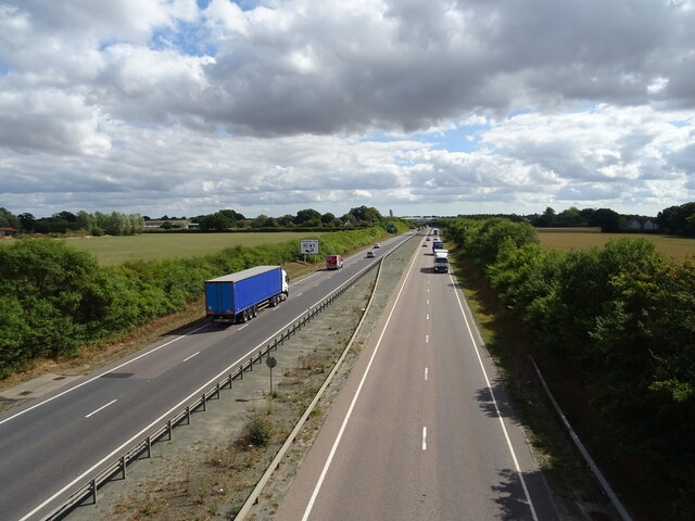
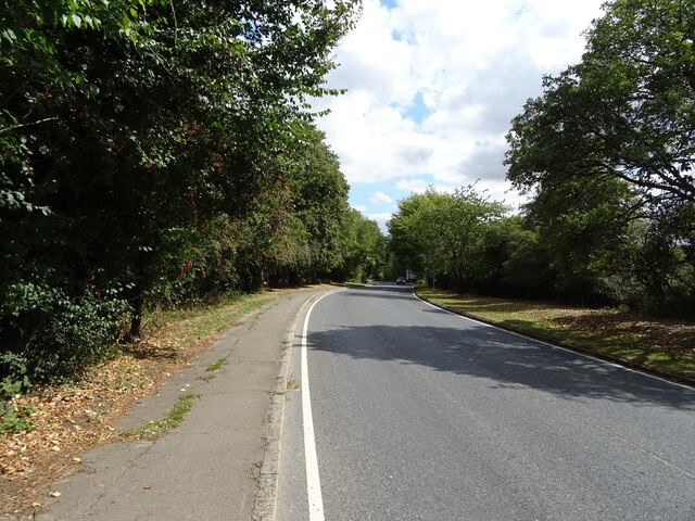
Great Notley is well-connected to nearby towns and cities. It has good transport links, with easy access to the A120 and A131 roads, connecting it to Braintree, Chelmsford, and Colchester. The village also benefits from regular bus services, making it convenient for commuting and travel.

Overall, Great Notley is a charming village in Essex, offering a tranquil setting and a strong sense of community. It provides a range of amenities and recreational opportunities, making it an appealing place to reside.

If you have any feedback on the listing, please let us know in the comments section below.
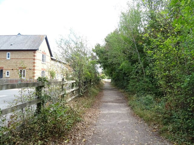
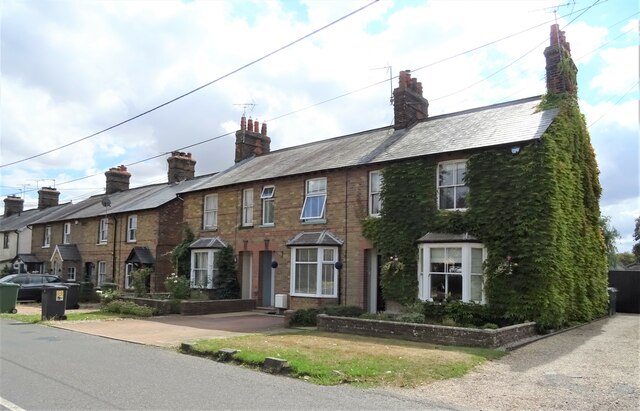
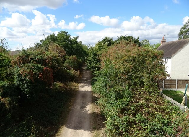
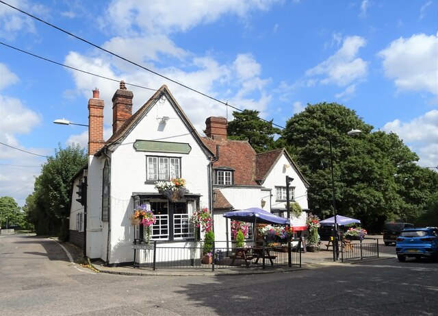
Great Notley Images

Images are sourced within 2km of 51.865384/0.5266026 or Grid Reference TL7421. Thanks to Geograph Open Source API. All images are credited.

Farmhouse at Friars Farm
GRIDSERVE Electric vehicle charging forecourt, A131 Stood under the canopy at GRIDSERVE's Electric Forecourt location in Braintree

<span class="nowrap"><a title="https://www.gridserve.com/electric-vehicle-charging/electric-forecourt/braintree/" rel="nofollow ugc noopener" href="https://www.gridserve.com/electric-vehicle-charging/electric-forecourt/braintree/">Link</a><img style="margin-left:2px;" alt="External link" title="External link - shift click to open in new window" src="https://s1.geograph.org.uk/img/external.png" width="10" height="10"/></span>
GRIDSERVE Electric vehicle charging forecourt, A131
Stood under the canopy at GRIDSERVE's Electric Forecourt location in Braintree LinkExternal link
Field off School Road, Bartholomew Green
Houses on School Road, Bartholomew Green
Welcome to Rayne Heading north east on School Road.
Welcome to Rayne
Heading north east on School Road.
Elizabeth II postbox on School Road, Rayne Postbox No. CM77 61.
Elizabeth II postbox on School Road, Rayne
Postbox No. CM77 61.
A120 towards Braintree From the bridge on School Road.
A120 towards Braintree
From the bridge on School Road.
Former Station House, Rayne On the former line from Bishop's Stortford to Braintree which was closed by British Railways in the 1960s. Now a Visitor Centre for the Flitch Way country park. The line is now part of Now National Cycle Route 16.
Former Station House, Rayne
On the former line from Bishop's Stortford to Braintree which was closed by British Railways in the 1960s. Now a Visitor Centre for the Flitch Way country park. The line is now part of Now National Cycle Route 16.
Old railway coach near the former Station House, Rayne Now a Museum and community room.
On National Cycle Route 16.
Old railway coach near the former Station House, Rayne
Now a Museum and community room. On National Cycle Route 16.
Former level crossing on Station Road, Rayne Old railway line is now utilised by National Cycle Route 16.
Former level crossing on Station Road, Rayne
Old railway line is now utilised by National Cycle Route 16.
Millennium milepost, National Cycle Route 16 Near the former Station House, Rayne.
Millennium milepost, National Cycle Route 16
Near the former Station House, Rayne.
National Cycle Route 16 On the former Bishop's Stortford to Braintree railway line near the former Station House, Rayne.
National Cycle Route 16
On the former Bishop's Stortford to Braintree railway line near the former Station House, Rayne.
Houses on New Road, Rayne
Former railway line from Bishop's Stortford to Braintree Now National Cycle Route 16.
Former railway line from Bishop's Stortford to Braintree
Now National Cycle Route 16.
The Swan public house, Rayne On The Street.
The Swan public house, Rayne
On The Street.
The Street, Rayne
The Street, Rayne
Stubble field off Rayne Road
Show me another place!

Great Notley is located at Grid Ref: TL7421 (Lat: 51.865384, Lng: 0.5266026)

Administrative County: Essex

District: Braintree

Police Authority: Essex

What 3 Words

///humid.motored.elevator. Near Braintree, Essex

Nearby Locations

Great Notley

Related Wikis

White Court

White Court is a residential housing estate in the village of Great Notley, south west of Braintree, Essex, England, built on the site of the old Oaklands...

Cuckoo Wood

Cuckoo Wood is a 2.5 hectare Local Nature Reserve in Braintree in Essex. It is owned by Braintree District Council and managed by Essex County Council...

Great Notley

Great Notley is a village to the south-west of Braintree, Essex in England. It has an approximate population of 7,845 and became an independent civil parish...

Hoppit Mead

Hoppit Mead is a 9.2 hectare Local Nature Reserve in Braintree in Essex. It is owned and managed by Braintree District Council.This linear site has formal...

Nearby Amenities

Located within 500m of 51.865384,0.5266026
Motorway Junction
Panners
Lat/Long: 51.8689222/0.5255331
Mini Roundabout
Direction: clockwise
Lat/Long: 51.8649495/0.526138
Mini Roundabout
Direction: clockwise
Lat/Long: 51.8630745/0.5255372
Mini Roundabout
Direction: clockwise
Lat/Long: 51.8643521/0.5261796
Mini Roundabout
Direction: clockwise
Lat/Long: 51.8677088/0.5262455
Great Notley
Place: village
Lat/Long: 51.8624463/0.5277337
Mini Roundabout
Direction: clockwise
Lat/Long: 51.8668662/0.5307583
Mini Roundabout
Direction: clockwise
Lat/Long: 51.8666844/0.5326009
Bus Stop
Chatsworth House
Bus: yes
Naptan AtcoCode: 15003805114
Naptan Bearing: NE
Naptan CommonName: Chatsworth House
Naptan Crossing: Chatsworth Avenue
Naptan Indicator: o/s
Naptan Landmark: Chatsworth House
Naptan NaptanCode: esxdtmwj
Naptan PlusbusZoneRef: BRAINTR
Naptan Street: Cuckoo Way
Naptan Verified: no
Public Transport: platform
Source: naptan_import
Lat/Long: 51.8642292/0.5247013
Bus Stop
Chatsworth House
Bus: yes
Naptan AtcoCode: 15003805115
Naptan Bearing: SW
Naptan CommonName: Chatsworth House
Naptan Crossing: Chatsworth Avenue
Naptan Indicator: Opp
Naptan Landmark: Chatsworth House
Naptan NaptanCode: esxdtmwm
Naptan PlusbusZoneRef: BRAINTR
Naptan Street: Cuckoo Way
Naptan Verified: no
Public Transport: platform
Source: naptan_import
Lat/Long: 51.8628987/0.5253402
Bus Stop
Bridge End Lane
Bus: yes
Naptan AtcoCode: 1500DGK111
Naptan Bearing: NE
Naptan CommonName: Bridge End Lane
Naptan Crossing: Bridge End Lane
Naptan Indicator: Opp
Naptan Landmark: Bridge End Lane
Naptan NaptanCode: esxgmjmw
Naptan PlusbusZoneRef: BRAINTR
Naptan Street: Queenborough Lane
Naptan Verified: no
Public Transport: platform
Source: naptan_import
Lat/Long: 51.8669947/0.5310028
Bus Stop
Bridge End Lane
Bus: yes
Naptan AtcoCode: 1500DGK111AA
Naptan Bearing: SW
Naptan BusStopType: CUS
Naptan CommonName: Bridge End Lane
Naptan Crossing: Bridge End Lane
Naptan Indicator: Adj
Naptan Landmark: Bridge End Lane
Naptan NaptanCode: esxgpjaw
Naptan PlusbusZoneRef: BRAINTR
Naptan Street: Queenborough Lane
Naptan Verified: no
Public Transport: platform
Source: naptan_import
Lat/Long: 51.8669569/0.5310878
Bus Stop
Panners Farm
Bus: yes
Naptan AtcoCode: 1500DGK112
Naptan Bearing: SW
Naptan CommonName: Panners Farm
Naptan Crossing: Blickling Road
Naptan Indicator: SW-bound
Naptan Landmark: Panners Farm
Naptan NaptanCode: esxgmjpa
Naptan PlusbusZoneRef: BRAINTR
Naptan Street: Bridge End Lane
Naptan Verified: no
Public Transport: platform
Source: naptan_import
Lat/Long: 51.8654218/0.5292875
Bus Stop
Panners Farm
Bus: yes
Naptan AtcoCode: 1500DGK112AA
Naptan Bearing: NE
Naptan BusStopType: CUS
Naptan CommonName: Panners Farm
Naptan Crossing: Blickling Road
Naptan Indicator: NE-bound
Naptan Landmark: Panners Farm
Naptan NaptanCode: esxgpgdm
Naptan PlusbusZoneRef: BRAINTR
Naptan Street: Bridge End Lane
Naptan Verified: no
Public Transport: platform
Source: naptan_import
Lat/Long: 51.865529/0.5293226
Bus Stop
Grantham Avenue
Bus: yes
Naptan AtcoCode: 1500IM825
Naptan Bearing: NE
Naptan CommonName: Grantham Avenue
Naptan Crossing: Grantham Avenue
Naptan Indicator: Adj
Naptan Landmark: Grantham Avenue
Naptan NaptanCode: esxdtmwp
Naptan PlusbusZoneRef: BRAINTR
Naptan Street: Cuckoo Way
Naptan Verified: no
Public Transport: platform
Source: naptan_import
Lat/Long: 51.865268/0.5264027
Grantham Avenue
Naptan AtcoCode: 1500IM825AA
Naptan Bearing: SW
Naptan BusStopType: CUS
Naptan CommonName: Grantham Avenue
Naptan Crossing: Grantham Avenue
Naptan Indicator: Opp
Naptan Landmark: Grantham Avenue
Naptan NaptanCode: esxgtadw
Naptan PlusbusZoneRef: BRAINTR
Naptan Street: Cuckoo Way
Naptan Verified: no
Public Transport: platform
Source: naptan_import
Lat/Long: 51.8651163/0.5263506
Bus Stop
White Court
Bus: yes
Naptan AtcoCode: 1500WHTCRT3
Naptan Bearing: E
Naptan BusStopType: CUS
Naptan CommonName: Ellen Way
Naptan Crossing: Ellen Way
Naptan Indicator: Adj
Naptan Landmark: Ellen Way
Naptan NaptanCode: esxdtagp
Naptan PlusbusZoneRef: BRAINTR
Naptan Street: Derwent Way
Naptan Verified: no
Public Transport: platform
Source: naptan_import
Lat/Long: 51.8626207/0.5319918
Direction: both
Traffic Calming: bump
Lat/Long: 51.86626/0.5218508
Mini Roundabout
Direction: clockwise
Lat/Long: 51.8654694/0.5336668
Ncn Milepost: mills
Sustrans Ref: MP769
Lat/Long: 51.8647375/0.5325688
Tourism: artwork
Lat/Long: 51.8656842/0.5297974
Co-op Food
Addr City: Braintree
Addr Postcode: CM77 7AE
Addr Street: Priory Lane
Brand: Co-op Food
Brand Wikidata: Q3277439
Brand Wikipedia: en:Co-op Food
Opening Hours: Mo-Sa 07:30-21:00; Su 08:00-21:00
Operator: Chelmsford Star Co-operative Society
Operator Wikidata: Q5089972
Phone: +44 1376 334644
Shop: convenience
Website: https://www.chelmsfordstar.coop/store/great-notley-collect/
Lat/Long: 51.8657389/0.5282775
Restaurant
Lat/Long: 51.865782/0.5285967
Crossing
Crossing: unmarked
Crossing Island: no
Tactile Paving: yes
Lat/Long: 51.8667426/0.5231774
Crossing
Crossing: unmarked
Crossing Island: no
Tactile Paving: yes
Lat/Long: 51.8660987/0.5213984
Crossing
Crossing: unmarked
Crossing Island: no
Tactile Paving: yes
Lat/Long: 51.8664013/0.5223445
Material: wood
Power: pole
Lat/Long: 51.8684377/0.5231327
Material: wood
Power: pole
Lat/Long: 51.8684327/0.5220866
Material: wood
Power: pole
Transformer: distribution
Voltage Primary: 11000
Lat/Long: 51.8682423/0.5243558
Crossing
Lat/Long: 51.8629439/0.5250973
Crossing
Crossing: unmarked
Crossing Island: no
Tactile Paving: yes
Lat/Long: 51.8654906/0.5273738
Crossing
Lat/Long: 51.8653947/0.5292401
Crossing
Lat/Long: 51.8653768/0.5304098
Crossing
Crossing: unmarked
Crossing Island: no
Tactile Paving: yes
Lat/Long: 51.8670151/0.5236311
Crossing
Crossing: unmarked
Crossing Island: yes
Tactile Paving: yes
Lat/Long: 51.8675694/0.5244061
Crossing
Crossing: unmarked
Crossing Island: yes
Tactile Paving: yes
Lat/Long: 51.8675801/0.5244781
Crossing
Crossing: unmarked
Crossing Island: yes
Tactile Paving: yes
Lat/Long: 51.8674959/0.5250731
Crossing
Crossing: unmarked
Crossing Island: yes
Tactile Paving: yes
Lat/Long: 51.867424/0.525088
Crossing
Crossing: marked
Crossing Island: no
Crossing Markings: zebra
Tactile Paving: yes
Lat/Long: 51.8676971/0.5248673
Crossing
Crossing: unmarked
Crossing Island: no
Tactile Paving: yes
Lat/Long: 51.8660438/0.5210104
Direction: both
Traffic Calming: bump
Lat/Long: 51.8660682/0.5204898
Direction: both
Traffic Calming: bump
Lat/Long: 51.8668292/0.5232111
Communication Mobile Phone: yes
Man Made: mast
Tower Construction: freestanding
Tower Type: communication
Lat/Long: 51.8675801/0.5250169
The data included in this document is from www.openstreetmap.org. The data is made available under ODbL.

Have you been to Great Notley?

Leave your review of Great Notley below (or comments, questions and feedback).