Great Denham

Settlement in Bedfordshire

England

Great Denham

Field by John Bunyan Trail
Field by John Bunyan Trail Credit: N Chadwick

The requested URL returned error: 429 Too Many Requests

If you have any feedback on the listing, please let us know in the comments section below.
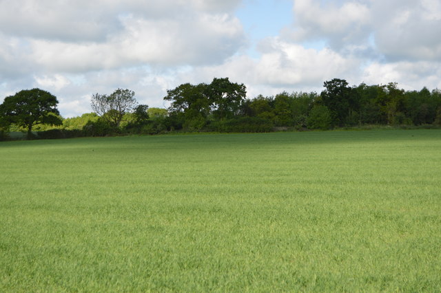
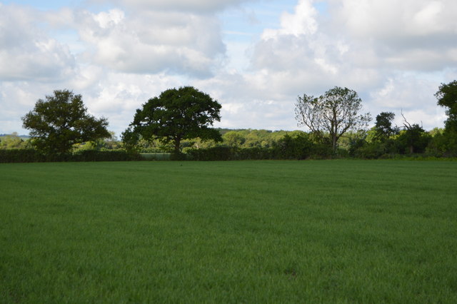
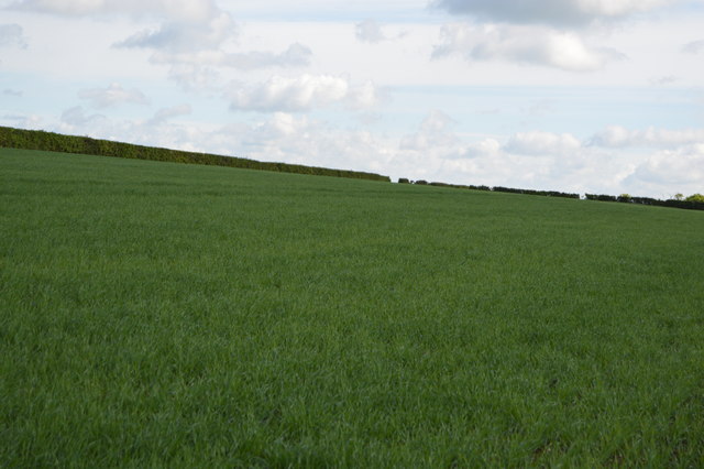
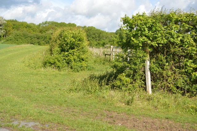
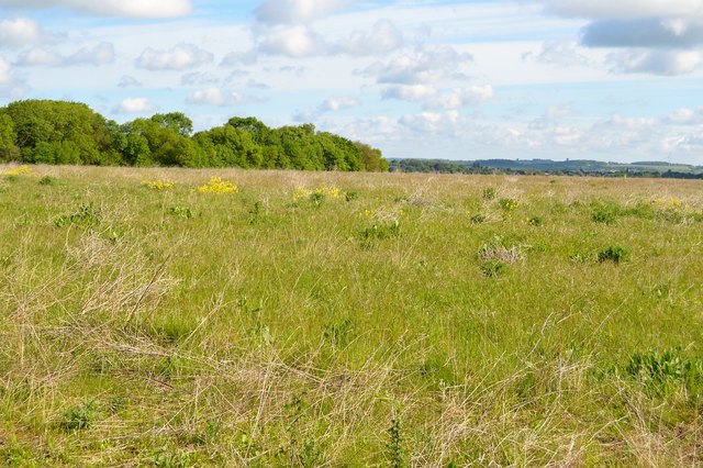
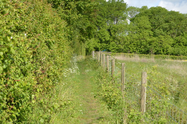
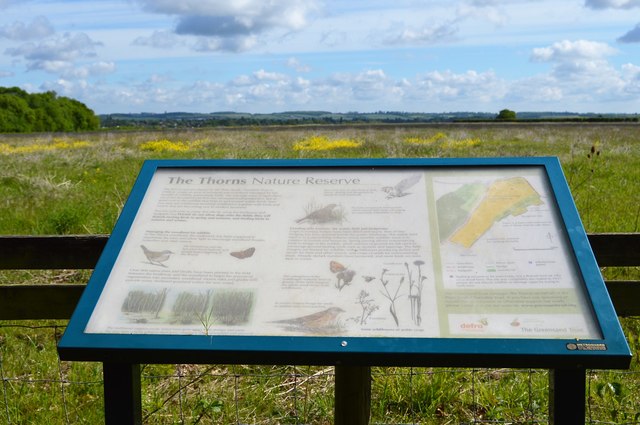
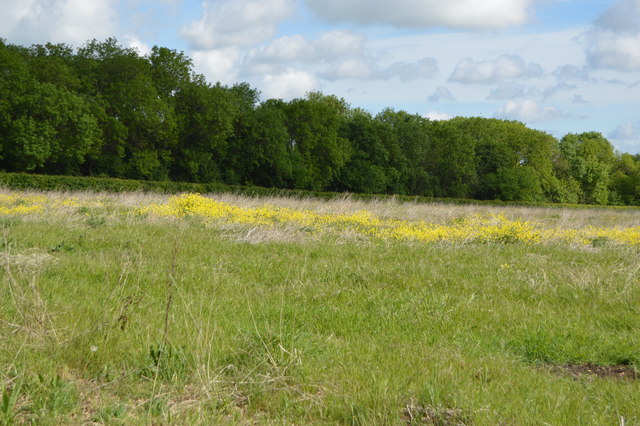
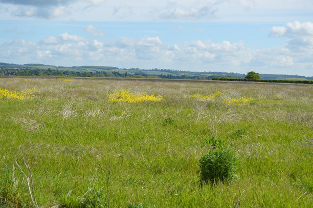
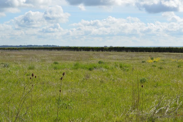
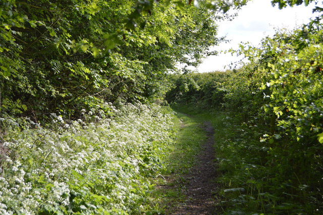
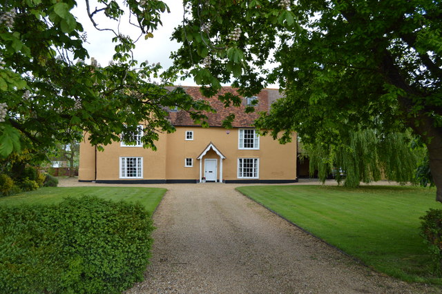
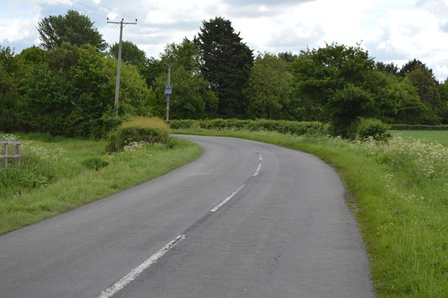
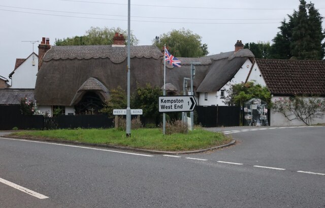
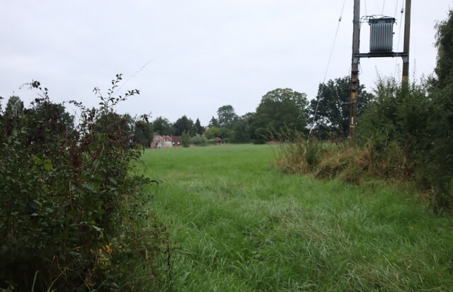
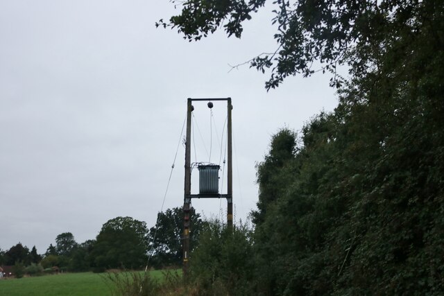
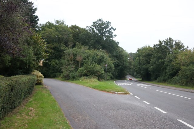
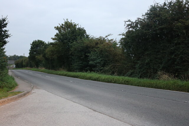
Great Denham Images

Images are sourced within 2km of 52.129726/-0.51580642 or Grid Reference TL0148. Thanks to Geograph Open Source API. All images are credited.

Field by John Bunyan Trail
Bedfordshire farmland
Arable field
Arable field
John Bunyan Trail The Trail was created by the Bedfordshire Group to celebrate the Diamond Jubilee and is dedicated to the memory of John Bunyan, the Puritan Evangelist and author of the book 'Pilgrim's Progress'. The 77 mile long route passes through a number of attractive villages and scenic countryside, taking in many places of historic interest connected with Bunyan. There are links with the Greensand Ridge Walk, Icknield Way Path and North Bedfordshire Heritage Trail. The waymarked Clay Way (11½ miles, map online) which follows the West Bedfordshire Clay Ridge is partly coincident with the Trail at Cranfield.
John Bunyan Trail
The Trail was created by the Bedfordshire Group to celebrate the Diamond Jubilee and is dedicated to the memory of John Bunyan, the Puritan Evangelist and author of the book 'Pilgrim's Progress'. The 77 mile long route passes through a number of attractive villages and scenic countryside, taking in many places of historic interest connected with Bunyan. There are links with the Greensand Ridge Walk, Icknield Way Path and North Bedfordshire Heritage Trail. The waymarked Clay Way (11½ miles, map online) which follows the West Bedfordshire Clay Ridge is partly coincident with the Trail at Cranfield.
The Thorns The Thorns is a 40ha site to the south-west of Bromham.  It consists of a small area of woodland (part of Hanger Wood SSSI), a field to the east which is being allowed to regenerate to scrub/woodland having last been ploughed 4-5 years ago, and a large arable field (newly sown for winter wheat). 
The arable field has 2m grass margins, mature and newly planted hedges, and, along its south-east edge, three small plots of arable weeds, pollen and nectar mix and songbird mix, options selected as part of an Entry Level Environmental Stewardship agreement.
The Thorns
The Thorns is a 40ha site to the south-west of Bromham. It consists of a small area of woodland (part of Hanger Wood SSSI), a field to the east which is being allowed to regenerate to scrub/woodland having last been ploughed 4-5 years ago, and a large arable field (newly sown for winter wheat). The arable field has 2m grass margins, mature and newly planted hedges, and, along its south-east edge, three small plots of arable weeds, pollen and nectar mix and songbird mix, options selected as part of an Entry Level Environmental Stewardship agreement.
John Bunyan Trail by The Thorns The Thorns is a 40ha site to the south-west of Bromham.  It consists of a small area of woodland (part of Hanger Wood SSSI), a field to the east which is being allowed to regenerate to scrub/woodland having last been ploughed 4-5 years ago, and a large arable field (newly sown for winter wheat). 
The arable field has 2m grass margins, mature and newly planted hedges, and, along its south-east edge, three small plots of arable weeds, pollen and nectar mix and songbird mix, options selected as part of an Entry Level Environmental Stewardship agreement.
John Bunyan Trail by The Thorns
The Thorns is a 40ha site to the south-west of Bromham. It consists of a small area of woodland (part of Hanger Wood SSSI), a field to the east which is being allowed to regenerate to scrub/woodland having last been ploughed 4-5 years ago, and a large arable field (newly sown for winter wheat). The arable field has 2m grass margins, mature and newly planted hedges, and, along its south-east edge, three small plots of arable weeds, pollen and nectar mix and songbird mix, options selected as part of an Entry Level Environmental Stewardship agreement.
The Thorns Nature Reserve The Thorns is a 40ha site to the south-west of Bromham.  It consists of a small area of woodland (part of Hanger Wood SSSI), a field to the east which is being allowed to regenerate to scrub/woodland having last been ploughed 4-5 years ago, and a large arable field (newly sown for winter wheat). 
The arable field has 2m grass margins, mature and newly planted hedges, and, along its south-east edge, three small plots of arable weeds, pollen and nectar mix and songbird mix, options selected as part of an Entry Level Environmental Stewardship agreement.
The Thorns Nature Reserve
The Thorns is a 40ha site to the south-west of Bromham. It consists of a small area of woodland (part of Hanger Wood SSSI), a field to the east which is being allowed to regenerate to scrub/woodland having last been ploughed 4-5 years ago, and a large arable field (newly sown for winter wheat). The arable field has 2m grass margins, mature and newly planted hedges, and, along its south-east edge, three small plots of arable weeds, pollen and nectar mix and songbird mix, options selected as part of an Entry Level Environmental Stewardship agreement.
The Thorns The Thorns is a 40ha site to the south-west of Bromham.  It consists of a small area of woodland (part of Hanger Wood SSSI), a field to the east which is being allowed to regenerate to scrub/woodland having last been ploughed 4-5 years ago, and a large arable field (newly sown for winter wheat). 
The arable field has 2m grass margins, mature and newly planted hedges, and, along its south-east edge, three small plots of arable weeds, pollen and nectar mix and songbird mix, options selected as part of an Entry Level Environmental Stewardship agreement.
The Thorns
The Thorns is a 40ha site to the south-west of Bromham. It consists of a small area of woodland (part of Hanger Wood SSSI), a field to the east which is being allowed to regenerate to scrub/woodland having last been ploughed 4-5 years ago, and a large arable field (newly sown for winter wheat). The arable field has 2m grass margins, mature and newly planted hedges, and, along its south-east edge, three small plots of arable weeds, pollen and nectar mix and songbird mix, options selected as part of an Entry Level Environmental Stewardship agreement.
John Bunyan Trail, Hanger Wood The Thorns is a 40ha site to the south-west of Bromham.  It consists of a small area of woodland (part of Hanger Wood SSSI), a field to the east which is being allowed to regenerate to scrub/woodland having last been ploughed 4-5 years ago, and a large arable field (newly sown for winter wheat). 
The arable field has 2m grass margins, mature and newly planted hedges, and, along its south-east edge, three small plots of arable weeds, pollen and nectar mix and songbird mix, options selected as part of an Entry Level Environmental Stewardship agreement.
John Bunyan Trail, Hanger Wood
The Thorns is a 40ha site to the south-west of Bromham. It consists of a small area of woodland (part of Hanger Wood SSSI), a field to the east which is being allowed to regenerate to scrub/woodland having last been ploughed 4-5 years ago, and a large arable field (newly sown for winter wheat). The arable field has 2m grass margins, mature and newly planted hedges, and, along its south-east edge, three small plots of arable weeds, pollen and nectar mix and songbird mix, options selected as part of an Entry Level Environmental Stewardship agreement.
West End Farmhouse
West End Farmhouse
West End Rd The B560 is a rural road west of Bedford. It runs 3 miles from Kempston to Stagsden.
<span class="nowrap"><a title="http://www.sabre-roads.org.uk/wiki/index.php?title=B560" rel="nofollow ugc noopener" href="http://www.sabre-roads.org.uk/wiki/index.php?title=B560">Link</a><img style="margin-left:2px;" alt="External link" title="External link - shift click to open in new window" src="https://s1.geograph.org.uk/img/external.png" width="10" height="10"/></span>
West End Rd
The B560 is a rural road west of Bedford. It runs 3 miles from Kempston to Stagsden. LinkExternal link
Thatched cottage on West End Road, Box End
Field by Box End Road
Electricity transformer by Box End Road It's probably up there to keep the children and vandals away, although there's probably a technical reason.
Electricity transformer by Box End Road
It's probably up there to keep the children and vandals away, although there's probably a technical reason.
Parking area off Box End Road
Box End Road
Box End Road
Show me another place!

Great Denham is located at Grid Ref: TL0148 (Lat: 52.129726, Lng: -0.51580642)

Unitary Authority: Bedford

Police Authority: Bedfordshire

What 3 Words

///bombshell.snuggle.bronze. Near Biddenham, Bedfordshire

Nearby Locations

Great Denham

Related Wikis

Great Denham

Great Denham is a village and civil parish located in Bedfordshire, England, on the western outskirts of Bedford. The village is the location of Bedford...

Church of St James, Biddenham

Church of St James is a Grade I listed church in Biddenham, Bedfordshire, England. It became a listed building on 13 July 1964. The Church has a website...

Biddenham Dovecote

The Biddenham dovecote was a structure located in Biddenham, a village in Bedfordshire, England. Built on the order of Elizabeth Boteler in 1706, in a...

Kempston Rural

Kempston Rural is a civil parish in the Borough of Bedford in Bedfordshire, England. == History == Kempston Rural was formed in 1896 when the old parish...

Nearby Amenities

Located within 500m of 52.129726,-0.51580642
Noexit: yes
Lat/Long: 52.1267021/-0.5135008
Great Denham
Place: village
Wikidata: Q1520280
Wikipedia: en:Great Denham
Lat/Long: 52.1290419/-0.5103433
Pharmacy
The Village Pharmacy
Addr City: Great Denham
Addr Country: GB
Addr Housename: Meiklejohn Centre
Addr Postcode: MK40 4GH
Addr Street: Kingswood Way
Addr Unit: Unit 3
Dispensing: yes
Healthcare: pharmacy
Lat/Long: 52.128435/-0.5130939
Doctors
Great Denham Medical Centre
Healthcare: doctor
Lat/Long: 52.128903/-0.5129666
Bench
Lat/Long: 52.1309768/-0.5206985
Power: tower
Lat/Long: 52.1284287/-0.5224014
Power: tower
Lat/Long: 52.1298944/-0.5183926
Power: tower
Lat/Long: 52.1310758/-0.5152209
Power: tower
Lat/Long: 52.1322356/-0.512085
Bus Stop
Bus: yes
Naptan AtcoCode: 020035502
Naptan NaptanCode: bfsatwjg
Public Transport: platform
Lat/Long: 52.1292417/-0.5166418
Post Box
Ref: MK40 339
Lat/Long: 52.129225/-0.5165755
Crossing
Crossing: traffic_signals
Lat/Long: 52.1290857/-0.5147046
Post Box
Brand: Royal Mail
Brand Wikidata: Q638098
Collection Times: Mo-Fr 17:30; Sa 11:00
Operator: Royal Mail
Operator Wikidata: Q638098
Post Box Type: lamp
Ref: MK40 128
Royal Cypher: EIIR
Royal Cypher Wikidata: Q33102113
Source: survey
Survey Date: 2015-08-15
Lat/Long: 52.1334139/-0.5168546
Recycling
Recycling Glass Bottles: yes
Source: Bing
Lat/Long: 52.1299339/-0.5147782
Great Denham Golf Village
Website: http://www.thebedfordgc.com/pages.php/
Lat/Long: 52.1329993/-0.5189233
Sainsbury's Local
Addr City: Great Denham
Addr Country: GB
Addr Postcode: MK40 4SD
Addr Street: Anglia Way
Addr Unit: Unit 1
Brand: Sainsbury's Local
Brand Wikidata: Q13218434
Brand Wikipedia: en:Sainsbury's Local
Fhrs Authority: Bedford
Fhrs Id: 816876
Fhrs Local Authority Id: 121486
Shop: convenience
Lat/Long: 52.1275976/-0.5114079
Atm
Sainsbury’s Bank ATM
Brand: Sainsbury's Bank
Brand Wikidata: Q7400525
Operator: Sainsbury's Bank
Operator Wikidata: Q7400525
Lat/Long: 52.1276038/-0.5112071
Community Centre
Great Denham Community Centre
Addr City: Great Denham
Addr Country: GB
Addr Housenumber: 86
Addr Postcode: MK40 4GP
Addr Street: Saxon Way
Lat/Long: 52.1280614/-0.509674
Kindergarten
Toybox
Addr City: Great Denham
Addr Country: GB
Addr Housenumber: 90
Addr Postcode: MK40 4GP
Addr Street: Saxon Way
Fhrs Authority: Bedford
Fhrs Id: 1032151
Fhrs Local Authority Id: 127134
Lat/Long: 52.1277911/-0.509727
Fast Food
Denhams Fish Bar
Addr City: Great Denham
Addr Country: GB
Addr Postcode: MK40 4TB
Addr Street: Anglia Way
Addr Unit: Unit 4
Fhrs Authority: Bedford
Fhrs Id: 903413
Fhrs Local Authority Id: 121489
Lat/Long: 52.1277121/-0.5109099
Saramanda
Shop: hairdresser
Lat/Long: 52.1276956/-0.5109984
Barnardo's
Brand: Barnardo's
Brand Wikidata: Q2884670
Brand Wikipedia: en:Barnardo's
Shop: charity
Lat/Long: 52.1276824/-0.5110762
Keech Hospice Care
Shop: charity
Lat/Long: 52.1276693/-0.5118272
Daily Needs
Addr City: Great Denham
Addr Country: GB
Addr Postcode: MK40 4FU
Addr Street: Roman Gate
Shop: convenience
Lat/Long: 52.1276051/-0.5117923
Great Denham Off Licence
Addr City: Great Denham
Addr Country: GB
Addr Postcode: MK40 4FU
Addr Street: Roman Gate
Addr Unit: Unit D
Fhrs Authority: Bedford
Fhrs Id: 1022345
Fhrs Local Authority Id: 126016
Shop: alcohol
Lat/Long: 52.1275491/-0.5117574
Taylor Land
Office: estate_agent
Lat/Long: 52.1274552/-0.5117413
Restaurant
The Eatery
Addr City: Great Denham
Addr Country: GB
Addr Postcode: MK40 4FU
Addr Street: Roman Gate
Addr Unit: Unit A
Fhrs Authority: Bedford
Fhrs Id: 996905
Fhrs Local Authority Id: 122824
Lat/Long: 52.1277911/-0.5119398
Generator Method: photovoltaic
Generator Output Electricity: yes
Generator Source: solar
Generator Type: solar_photovoltaic_panel
Location: roof
Power: generator
Lat/Long: 52.1283131/-0.5145013
Generator Method: photovoltaic
Generator Output Electricity: yes
Generator Source: solar
Generator Type: solar_photovoltaic_panel
Location: roof
Power: generator
Lat/Long: 52.1277104/-0.5120149
Generator Method: photovoltaic
Generator Output Electricity: yes
Generator Source: solar
Generator Type: solar_photovoltaic_panel
Location: roof
Power: generator
Lat/Long: 52.1266813/-0.5160007
Generator Method: photovoltaic
Generator Output Electricity: yes
Generator Source: solar
Generator Type: solar_photovoltaic_panel
Location: roof
Power: generator
Lat/Long: 52.1266484/-0.5159926
Generator Method: photovoltaic
Generator Output Electricity: yes
Generator Source: solar
Generator Type: solar_photovoltaic_panel
Location: roof
Power: generator
Lat/Long: 52.1266006/-0.5156922
Generator Method: photovoltaic
Generator Output Electricity: yes
Generator Source: solar
Generator Type: solar_photovoltaic_panel
Location: roof
Power: generator
Lat/Long: 52.1265792/-0.5156064
Generator Method: photovoltaic
Generator Output Electricity: yes
Generator Source: solar
Generator Type: solar_photovoltaic_panel
Location: roof
Power: generator
Lat/Long: 52.1267982/-0.5152524
Generator Method: photovoltaic
Generator Output Electricity: yes
Generator Source: solar
Generator Type: solar_photovoltaic_panel
Location: roof
Power: generator
Lat/Long: 52.1268517/-0.5119452
Generator Method: photovoltaic
Generator Output Electricity: yes
Generator Source: solar
Generator Type: solar_photovoltaic_panel
Location: roof
Power: generator
Lat/Long: 52.12679/-0.5116917
Generator Method: photovoltaic
Generator Output Electricity: yes
Generator Source: solar
Generator Type: solar_photovoltaic_panel
Location: roof
Power: generator
Lat/Long: 52.1268954/-0.5117226
Generator Method: photovoltaic
Generator Output Electricity: yes
Generator Source: solar
Generator Type: solar_photovoltaic_panel
Location: roof
Power: generator
Lat/Long: 52.1269102/-0.5118352
Generator Method: photovoltaic
Generator Output Electricity: yes
Generator Source: solar
Generator Type: solar_photovoltaic_panel
Location: roof
Power: generator
Lat/Long: 52.126431/-0.5136994
Generator Method: photovoltaic
Generator Output Electricity: yes
Generator Source: solar
Generator Type: solar_photovoltaic_panel
Location: roof
Power: generator
Lat/Long: 52.1264442/-0.5136269
Generator Method: photovoltaic
Generator Output Electricity: yes
Generator Source: solar
Generator Type: solar_photovoltaic_panel
Location: roof
Power: generator
Lat/Long: 52.126454/-0.5135639
Generator Method: photovoltaic
Generator Output Electricity: yes
Generator Source: solar
Generator Type: solar_photovoltaic_panel
Location: roof
Power: generator
Lat/Long: 52.126459/-0.5133627
Generator Method: photovoltaic
Generator Output Electricity: yes
Generator Source: solar
Generator Type: solar_photovoltaic_panel
Location: roof
Power: generator
Lat/Long: 52.1264582/-0.513297
Generator Method: photovoltaic
Generator Output Electricity: yes
Generator Source: solar
Generator Type: solar_photovoltaic_panel
Location: roof
Power: generator
Lat/Long: 52.1264573/-0.5132286
Generator Method: photovoltaic
Generator Output Electricity: yes
Generator Source: solar
Generator Type: solar_photovoltaic_panel
Location: roof
Power: generator
Lat/Long: 52.1262861/-0.5130892
Generator Method: photovoltaic
Generator Output Electricity: yes
Generator Source: solar
Generator Type: solar_photovoltaic_panel
Location: roof
Power: generator
Lat/Long: 52.1263116/-0.5130905
Generator Method: photovoltaic
Generator Output Electricity: yes
Generator Source: solar
Generator Type: solar_photovoltaic_panel
Location: roof
Power: generator
Lat/Long: 52.1263067/-0.51301
Generator Method: photovoltaic
Generator Output Electricity: yes
Generator Source: solar
Generator Type: solar_photovoltaic_panel
Location: roof
Power: generator
Lat/Long: 52.1262828/-0.5130127
Generator Method: photovoltaic
Generator Output Electricity: yes
Generator Source: solar
Generator Type: solar_photovoltaic_panel
Location: roof
Power: generator
Lat/Long: 52.1262663/-0.5129644
Generator Method: photovoltaic
Generator Output Electricity: yes
Generator Source: solar
Generator Type: solar_photovoltaic_panel
Location: roof
Power: generator
Lat/Long: 52.1262811/-0.5129175
Generator Method: photovoltaic
Generator Output Electricity: yes
Generator Source: solar
Generator Type: solar_photovoltaic_panel
Location: roof
Power: generator
Lat/Long: 52.1261782/-0.5129577
Generator Method: photovoltaic
Generator Output Electricity: yes
Generator Source: solar
Generator Type: solar_photovoltaic_panel
Location: roof
Power: generator
Lat/Long: 52.1261338/-0.512951
Generator Method: photovoltaic
Generator Output Electricity: yes
Generator Source: solar
Generator Type: solar_photovoltaic_panel
Location: roof
Power: generator
Lat/Long: 52.1262169/-0.5139501
Generator Method: photovoltaic
Generator Output Electricity: yes
Generator Source: solar
Generator Type: solar_photovoltaic_panel
Location: roof
Power: generator
Lat/Long: 52.1262046/-0.5140091
Generator Method: photovoltaic
Generator Output Electricity: yes
Generator Source: solar
Generator Type: solar_photovoltaic_panel
Location: roof
Power: generator
Lat/Long: 52.1261667/-0.5139931
Generator Method: photovoltaic
Generator Output Electricity: yes
Generator Source: solar
Generator Type: solar_photovoltaic_panel
Location: roof
Power: generator
Lat/Long: 52.1261297/-0.513985
Generator Method: photovoltaic
Generator Output Electricity: yes
Generator Source: solar
Generator Type: solar_photovoltaic_panel
Location: roof
Power: generator
Lat/Long: 52.1260786/-0.5139555
Generator Method: photovoltaic
Generator Output Electricity: yes
Generator Source: solar
Generator Type: solar_photovoltaic_panel
Location: roof
Power: generator
Lat/Long: 52.1260111/-0.5139206
Generator Method: photovoltaic
Generator Output Electricity: yes
Generator Source: solar
Generator Type: solar_photovoltaic_panel
Location: roof
Power: generator
Lat/Long: 52.1259683/-0.5139005
Generator Method: photovoltaic
Generator Output Electricity: yes
Generator Source: solar
Generator Type: solar_photovoltaic_panel
Location: roof
Power: generator
Lat/Long: 52.1258102/-0.5152658
Generator Method: photovoltaic
Generator Output Electricity: yes
Generator Source: solar
Generator Type: solar_photovoltaic_panel
Location: roof
Power: generator
Lat/Long: 52.1258333/-0.5151048
Generator Method: photovoltaic
Generator Output Electricity: yes
Generator Source: solar
Generator Type: solar_photovoltaic_panel
Location: roof
Power: generator
Lat/Long: 52.1258662/-0.5149251
Generator Method: photovoltaic
Generator Output Electricity: yes
Generator Source: solar
Generator Type: solar_photovoltaic_panel
Location: roof
Power: generator
Lat/Long: 52.1259024/-0.5147642
Generator Method: photovoltaic
Generator Output Electricity: yes
Generator Source: solar
Generator Type: solar_photovoltaic_panel
Location: roof
Power: generator
Lat/Long: 52.1259271/-0.5145898
Generator Method: photovoltaic
Generator Output Electricity: yes
Generator Source: solar
Generator Type: solar_photovoltaic_panel
Location: roof
Power: generator
Lat/Long: 52.1259568/-0.5144289
Generator Method: photovoltaic
Generator Output Electricity: yes
Generator Source: solar
Generator Type: solar_photovoltaic_panel
Location: roof
Power: generator
Lat/Long: 52.1259946/-0.514268
Generator Method: photovoltaic
Generator Output Electricity: yes
Generator Source: solar
Generator Type: solar_photovoltaic_panel
Location: roof
Power: generator
Lat/Long: 52.1311534/-0.5090471
Generator Method: photovoltaic
Generator Output Electricity: yes
Generator Source: solar
Generator Type: solar_photovoltaic_panel
Location: roof
Power: generator
Lat/Long: 52.1311575/-0.5089679
Generator Method: photovoltaic
Generator Output Electricity: yes
Generator Source: solar
Generator Type: solar_photovoltaic_panel
Location: roof
Power: generator
Lat/Long: 52.1326517/-0.5135331
Generator Method: photovoltaic
Generator Output Electricity: yes
Generator Source: solar
Generator Type: solar_photovoltaic_panel
Location: roof
Power: generator
Lat/Long: 52.1333185/-0.5143806
Generator Method: photovoltaic
Generator Output Electricity: yes
Generator Source: solar
Generator Type: solar_photovoltaic_panel
Location: roof
Power: generator
Lat/Long: 52.1333053/-0.5144423
Generator Method: photovoltaic
Generator Output Electricity: yes
Generator Source: solar
Generator Type: solar_photovoltaic_panel
Location: roof
Power: generator
Lat/Long: 52.1328492/-0.5155823
Generator Method: photovoltaic
Generator Output Electricity: yes
Generator Source: solar
Generator Type: solar_photovoltaic_panel
Location: roof
Power: generator
Lat/Long: 52.1328887/-0.5156681
Waste Basket
Waste: dog_excrement
Lat/Long: 52.1304361/-0.5134899
The data included in this document is from www.openstreetmap.org. The data is made available under ODbL.

Have you been to Great Denham?

Leave your review of Great Denham below (or comments, questions and feedback).