Great Canney
Settlement in Essex Maldon
England
Great Canney

Great Canney is a small village located in the county of Essex, England. Situated approximately 4 miles northeast of the town of Burnham-on-Crouch, Great Canney is part of the Maldon district. The village is predominantly rural, surrounded by picturesque countryside and farmland.
The village itself consists of a cluster of traditional cottages and houses, displaying a blend of architectural styles ranging from Tudor to Victorian. Great Canney is known for its charming, idyllic atmosphere and tranquil surroundings, making it an attractive destination for those seeking a peaceful and rural retreat.
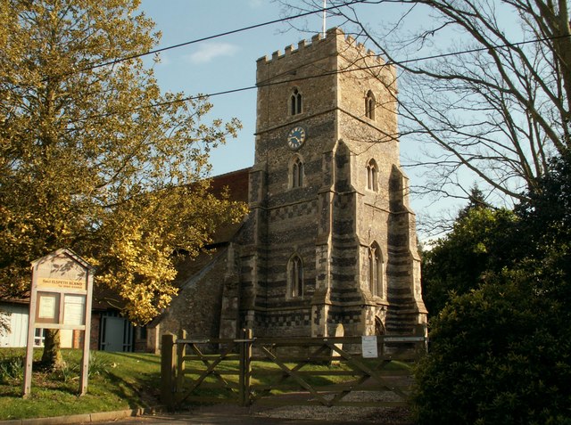
Despite its small size, Great Canney boasts a strong sense of community, with residents actively involved in various local activities and events. The village has a small church, St. Mary's, dating back to the 12th century, which adds to its historical and cultural significance.
Surrounded by the stunning Essex countryside, Great Canney offers ample opportunities for outdoor activities such as walking, cycling, and horse riding. The nearby River Crouch provides additional recreational possibilities, including boating and fishing.
While Great Canney lacks many amenities within its immediate vicinity, the town of Burnham-on-Crouch is easily accessible, offering a wider range of facilities including shops, restaurants, and schools. The village's rural location also provides convenient access to nearby nature reserves, coastal areas, and other attractions in Essex.
In summary, Great Canney is a charming and rural village in Essex, offering a peaceful and idyllic environment, while still being within reach of essential amenities and recreational opportunities in the surrounding area.
If you have any feedback on the listing, please let us know in the comments section below.
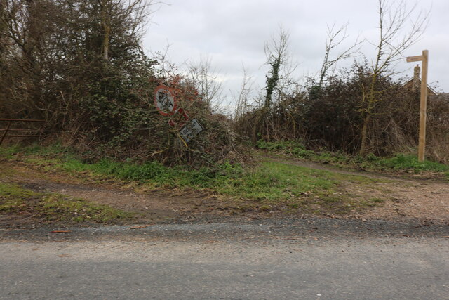
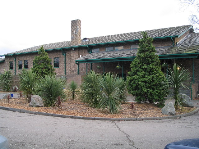
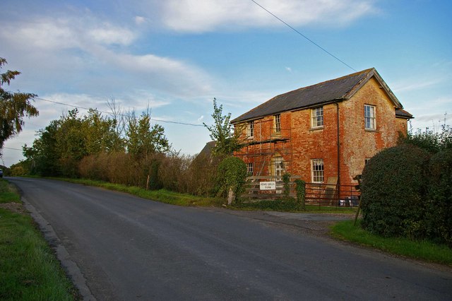
Great Canney Images
Images are sourced within 2km of 51.672607/0.65183494 or Grid Reference TL8300. Thanks to Geograph Open Source API. All images are credited.


Great Canney is located at Grid Ref: TL8300 (Lat: 51.672607, Lng: 0.65183494)
Administrative County: Essex
District: Maldon
Police Authority: Essex
What 3 Words
///activism.subjects.windpipe. Near Cold Norton, Essex
Nearby Locations
Related Wikis
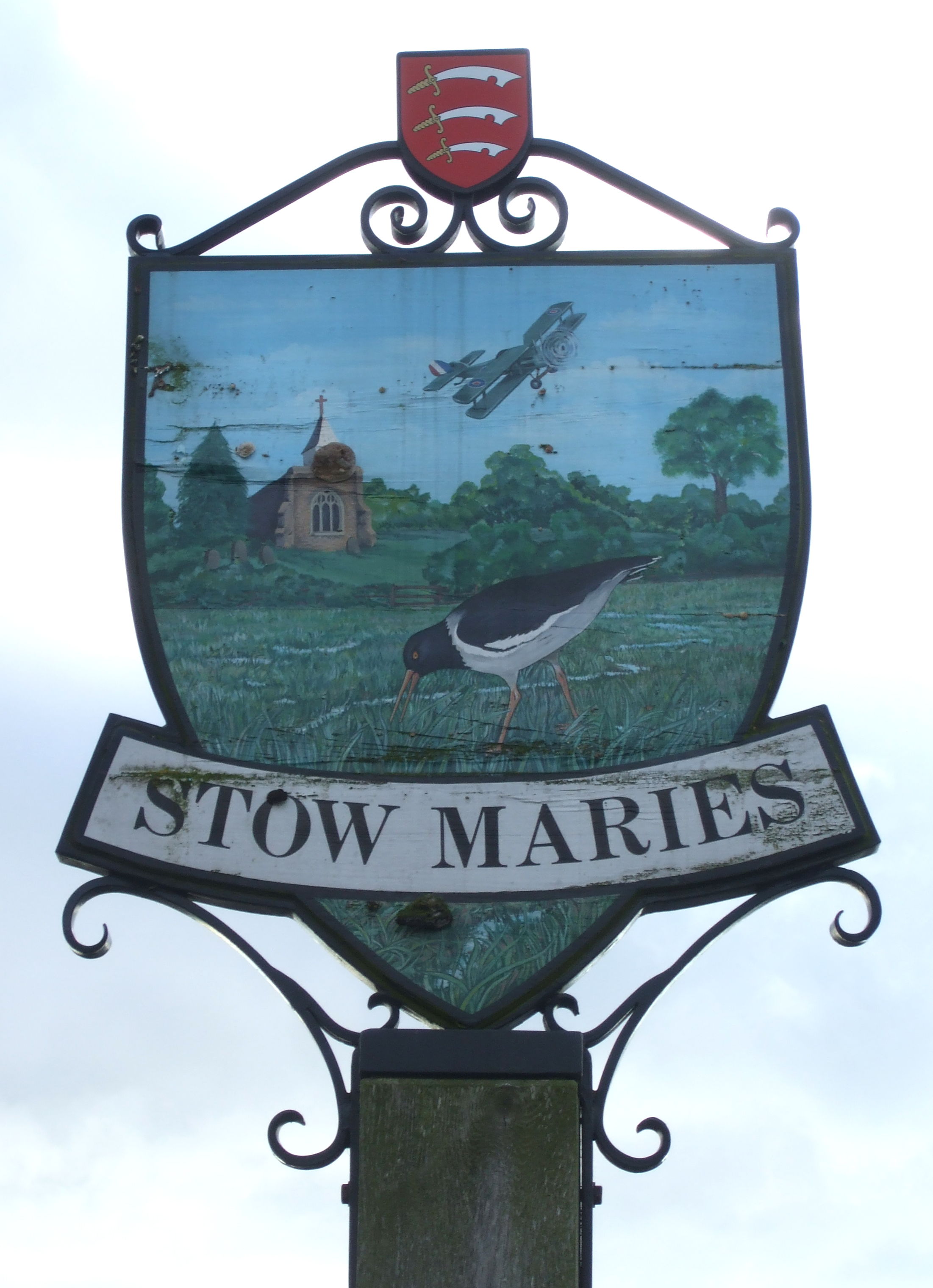
Stow Maries
Stow Maries is a village and civil parish in the English county of Essex. It is located on the western (inland) end of the Dengie peninsula and forms part...
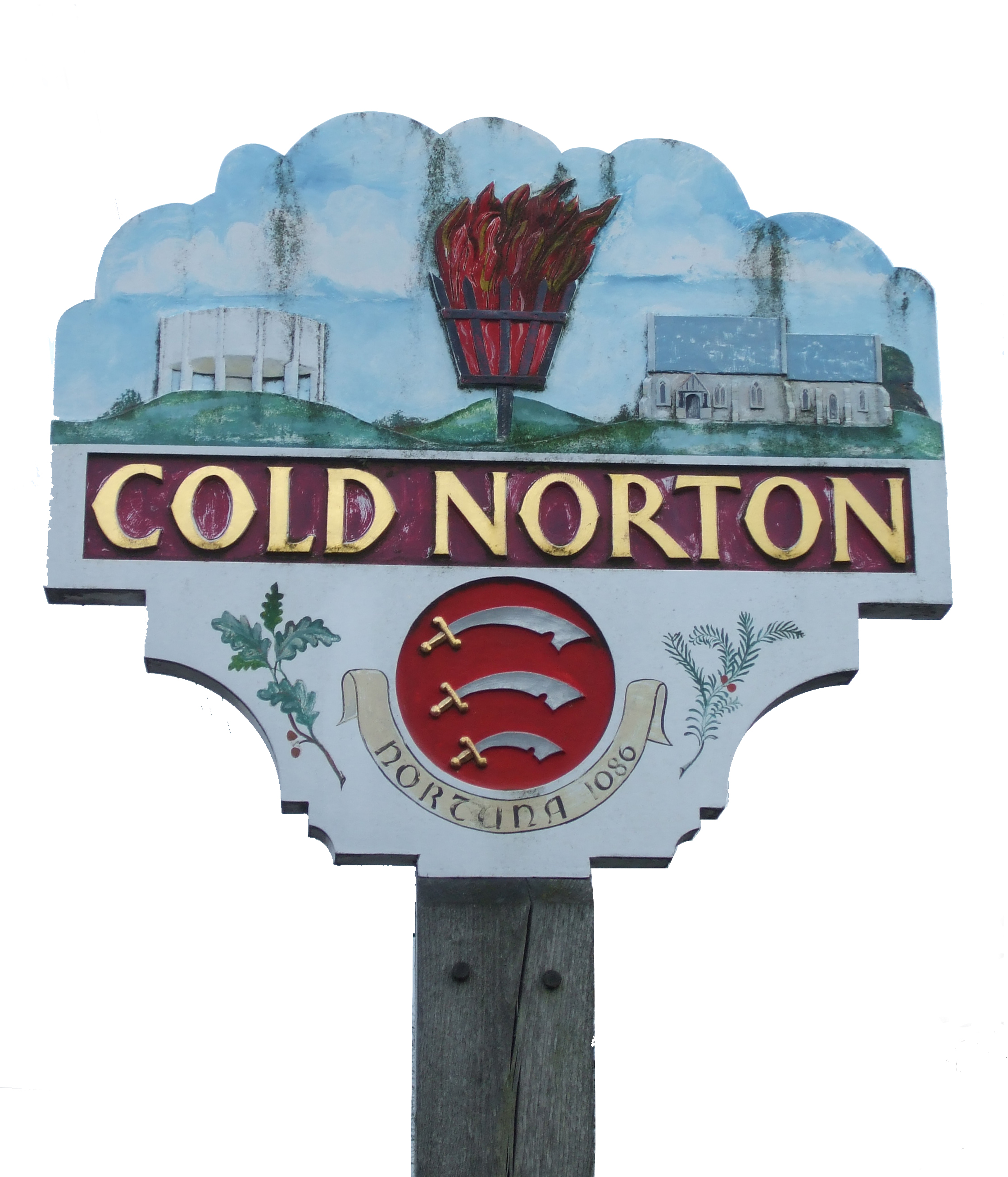
Cold Norton
Cold Norton is a village on the Dengie Peninsula in Essex, England. It is located in rural countryside 10 miles to the east of Chelmsford, and lies just...

Stow St Mary Halt railway station
Stow St. Mary Halt railway station was a halt that served the village of Stow Maries, Essex. It was opened on 24 September 1928 by the London and North...
Stow Maries Halt
Stow Maries Halt is a 2.2-hectare (5.4-acre) nature reserve south of Stow Maries in Essex. It is owned and managed by the Essex Wildlife Trust.The former...
Stow Maries Aerodrome
Stow Maries Aerodrome is a historical airfield located in the village of Stow Maries, Essex, England. The airfield was in use by the Royal Flying Corps...
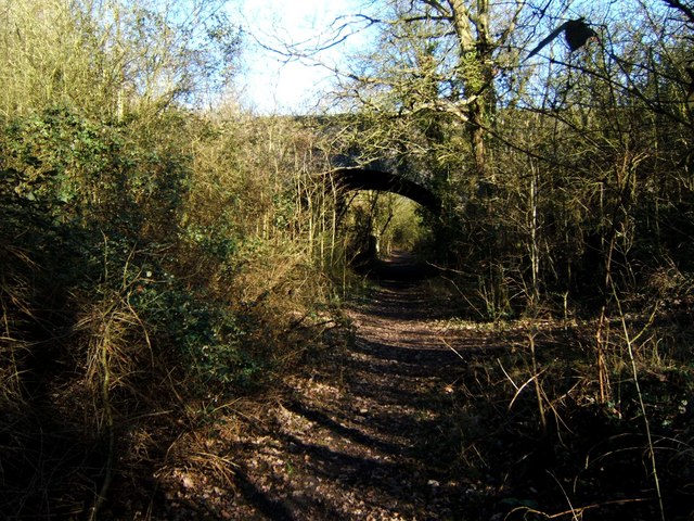
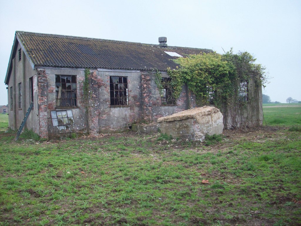
Cold Norton railway station
Cold Norton railway station served the village of Cold Norton, Essex. It was opened on 1 October 1889 by the Great Eastern Railway on a single-track branch...
Purleigh
Purleigh is a village on the Dengie peninsula about 4 miles (6.4 km) south of Maldon in the English county of Essex. The village is part of the Purleigh...
Barons Lane Halt railway station
Barons Lane Halt railway station was a halt that served the village of Purleigh, Essex. It was 4 miles 24 chains (6.92 km) from Wickford Junction. The...
Nearby Amenities
Located within 500m of 51.672607,0.65183494Have you been to Great Canney?
Leave your review of Great Canney below (or comments, questions and feedback).