Gratton

Settlement in Staffordshire Staffordshire Moorlands

England

Gratton

Holehouse Lane Junction The view from Gratton Lane near Endon.
Holehouse Lane Junction Credit: Gordon Griffiths

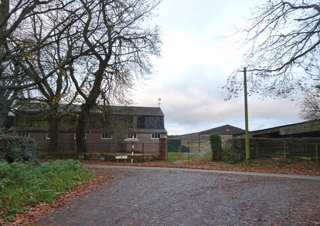
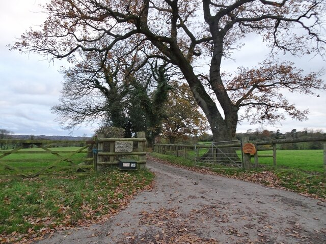
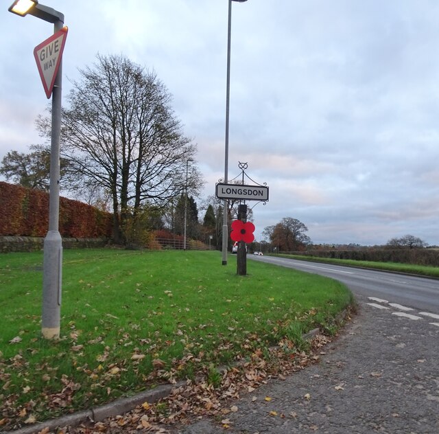
Gratton is a small village located in Staffordshire, England. It is situated near the town of Leek and is surrounded by picturesque countryside, making it a popular destination for those seeking a peaceful and rural setting.

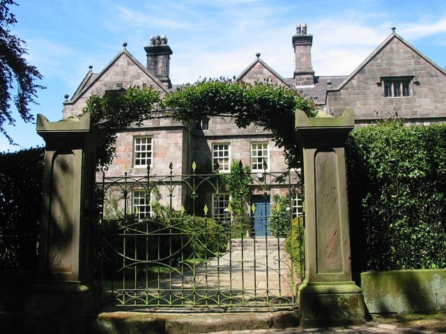
The village of Gratton has a rich history, with evidence of human settlement dating back to the Iron Age. Today, it is a quiet and charming village with a close-knit community that values its heritage and traditions.

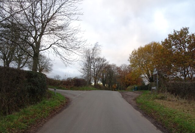
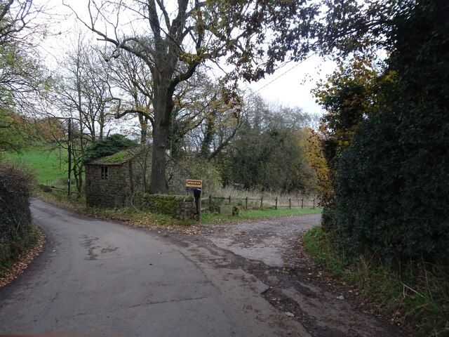
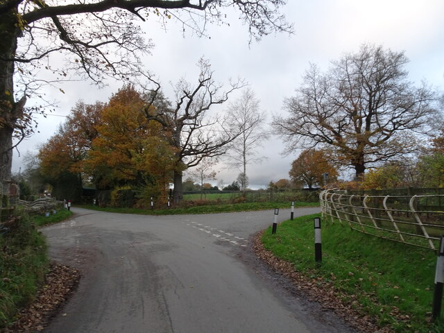
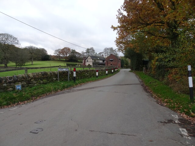
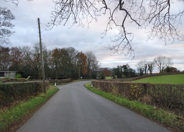
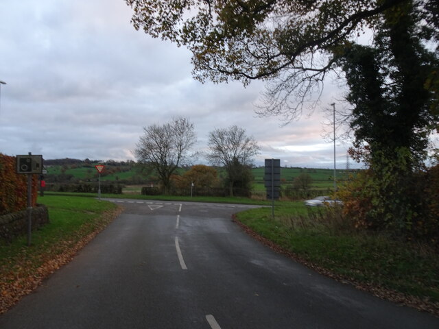
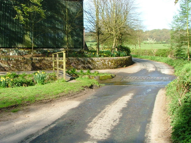
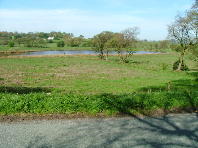
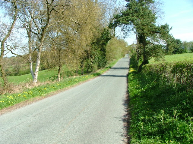
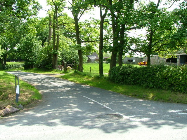
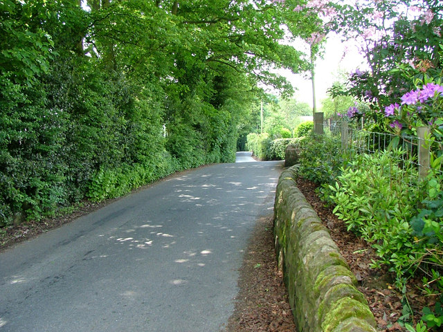
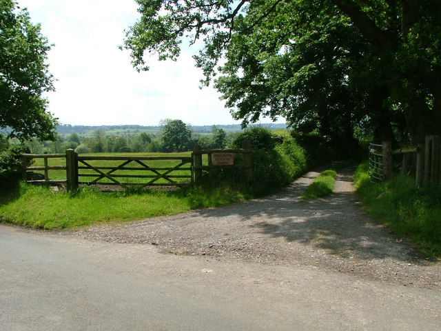
Gratton is known for its beautiful scenery, with rolling hills, lush green fields, and meandering streams. The village is a popular destination for outdoor enthusiasts, offering a range of walking and cycling routes that showcase the stunning natural landscapes of the Staffordshire Moorlands.

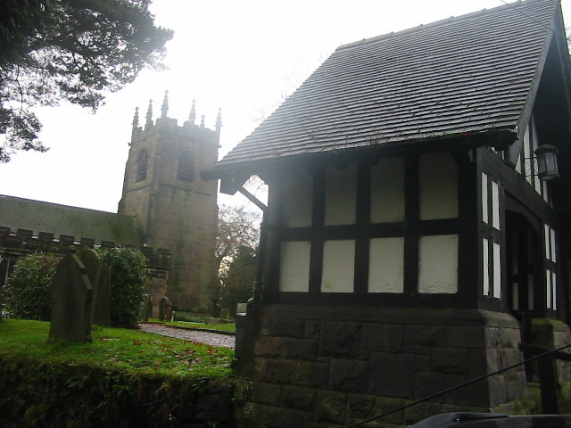
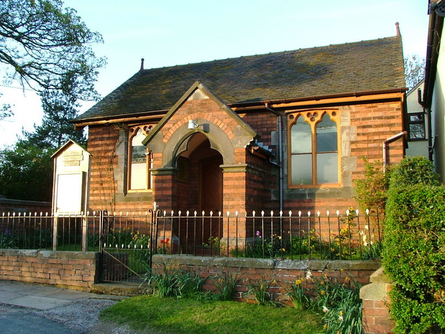
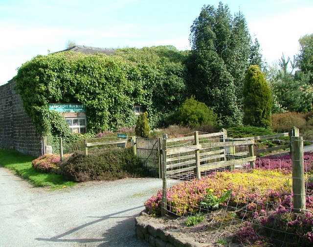
In terms of amenities, Gratton has a village hall and a small church, as well as a handful of local shops and pubs. The village is well-connected by road, making it easy to access nearby towns and cities such as Leek, Stoke-on-Trent, and Derby.

Overall, Gratton is a charming village that offers a peaceful and idyllic setting for residents and visitors alike.

If you have any feedback on the listing, please let us know in the comments section below.

Gratton Images

Images are sourced within 2km of 53.102219/-2.0972206 or Grid Reference SJ9356. Thanks to Geograph Open Source API. All images are credited.

Holehouse Lane Junction The view from Gratton Lane near Endon.
Holehouse Lane Junction
The view from Gratton Lane near Endon.
Farm Track  The view from Gratton Lane near Endon.
Farm Track
The view from Gratton Lane near Endon.
Cross Roads The view from Gratton Lane near Endon.
Cross Roads
The view from Gratton Lane near Endon.
Chapel Lane  The view from Gratton Lane near Endon.
Chapel Lane
The view from Gratton Lane near Endon.
Gratton Hall Lane The view from Blackwood Hill Road north of Endon.
Gratton Hall Lane
The view from Blackwood Hill Road north of Endon.
Hall Moor Meadows Farm The view from Dunwood Lane north of Endon.
Hall Moor Meadows Farm
The view from Dunwood Lane north of Endon.
The Dales Junction The view from Dunwood Lane of the junction with Honeysuckle Lane near Endon.
The Dales Junction
The view from Dunwood Lane of the junction with Honeysuckle Lane near Endon.
Longsdon Junction The view from Dunwood Lane of the junction with the A53.
Longsdon Junction
The view from Dunwood Lane of the junction with the A53.
Longsdon View The view from Dunwood Lane at the junction with the A53 Leek Road.
Longsdon View
The view from Dunwood Lane at the junction with the A53 Leek Road.
Horton Church St. Michael & All Angels Parish church of the village of Horton near Rudyard, N. Staffordshire
Horton Church
St. Michael & All Angels Parish church of the village of Horton near Rudyard, N. Staffordshire
Gratton Methodist Chapel Wesleyan Methodist Chapel built in 1822 still in use.
Gratton Methodist Chapel
Wesleyan Methodist Chapel built in 1822 still in use.
Ford and Footbridge This ford (not marked on OS map) has a footbridge that is marked, and a road to the left that goes over a bridge. Something for everyone!
Ford and Footbridge
This ford (not marked on OS map) has a footbridge that is marked, and a road to the left that goes over a bridge. Something for everyone!
Mill Pond Taken from Devil's Lane, where the devil provides a bench to admire the view
Mill Pond
Taken from Devil's Lane, where the devil provides a bench to admire the view
Devil's Lane, Longsdon
Barncroft Nurseries Barncroft Nurseries in Longsdon specialise in Heathers
Barncroft Nurseries
Barncroft Nurseries in Longsdon specialise in Heathers
Honeysuckle Lane
Honeysuckle Lane
Dunwood Lane looking down from The Dales
Dunwood Lane
looking down from The Dales
The track to Hall Moor Meadows Farm
Show me another place!

Gratton is located at Grid Ref: SJ9356 (Lat: 53.102219, Lng: -2.0972206)

Administrative County: Staffordshire

District: Staffordshire Moorlands

Police Authority: Staffordshire

What 3 Words

///charts.spend.appraised. Near Leek, Staffordshire

Nearby Locations

Gratton

Related Wikis

Horton, Staffordshire

Horton is a village and civil parish in the English county of Staffordshire. The population of the civil parish as taken at the 2011 census was 781. It...

The Ashes, Endon

The Ashes near Endon in Staffordshire is a building of historical significance and is Grade II* listed on the English Heritage Register. It was built in...

St Luke's Church, Endon

St Luke's Church is an Anglican church in Endon, Staffordshire, England, and in the Diocese of Lichfield. The building, dating originally from about 1720...

Rudyard, Staffordshire

Rudyard is a lakeside village in the county of Staffordshire, England, west of Leek and on the shore of Rudyard Lake. Population details as taken at the...

Nearby Amenities

Located within 500m of 53.102219,-2.0972206
Bus Stop
Gratton Lane
Naptan AtcoCode: 3800C807700
Naptan Bearing: N
Naptan CommonName: Gratton Lane
Naptan Indicator: Adj
Naptan Landmark: Post Box
Naptan Street: Gratton Lane
Naptan Verified: no
Source: naptan_import
Lat/Long: 53.1017147/-2.1006533
Gratton
Is In: staffordashire Moorlands
Place: village
Lat/Long: 53.1025537/-2.0989033
Power: tower
Lat/Long: 53.103733/-2.0941791
Power: tower
Lat/Long: 53.1006561/-2.0935043
Place Of Worship
Gratton Methodist Chapel
Denomination: methodist
Religion: christian
Lat/Long: 53.1029396/-2.1009209
Booth: K6
Covered: booth
Disused Amenity: telephone
Man Made: telephone_box
Lat/Long: 53.1058673/-2.1014688
Give Way
Direction: backward
Lat/Long: 53.1058769/-2.1012988
Give Way
Direction: forward
Lat/Long: 53.1058675/-2.1011627
The data included in this document is from www.openstreetmap.org. The data is made available under ODbL.

Have you been to Gratton?

Leave your review of Gratton below (or comments, questions and feedback).