Grassholme

Settlement in Yorkshire

England

Grassholme

Kelton Hill
Kelton Hill Credit: Mick Garratt

The requested URL returned error: 429 Too Many Requests

If you have any feedback on the listing, please let us know in the comments section below.
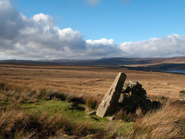
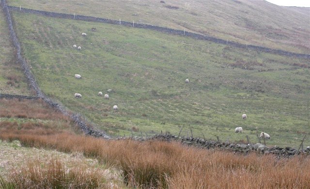
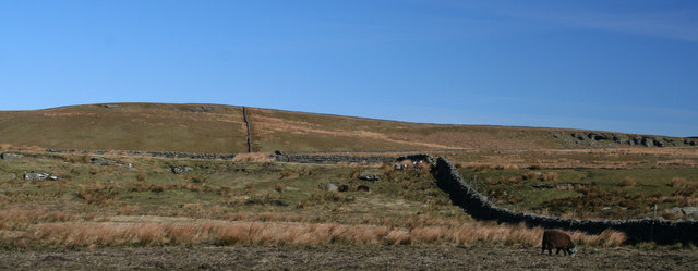
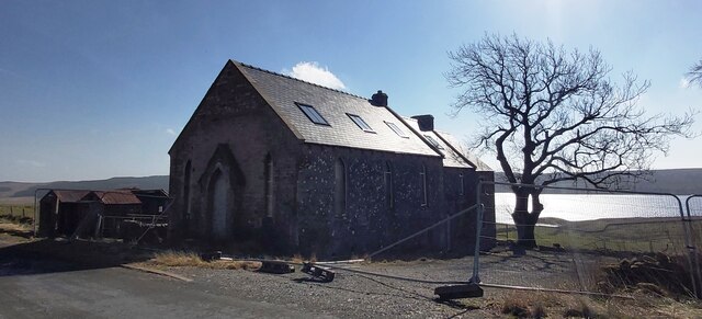
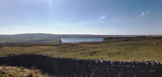
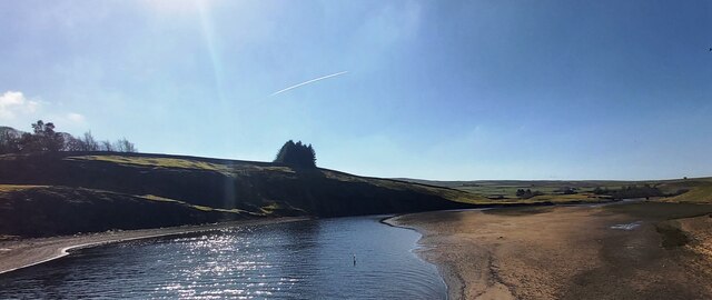
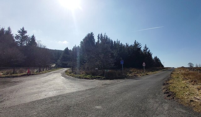
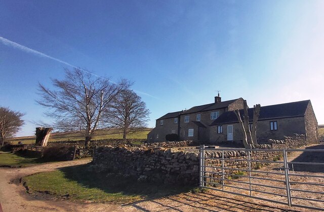
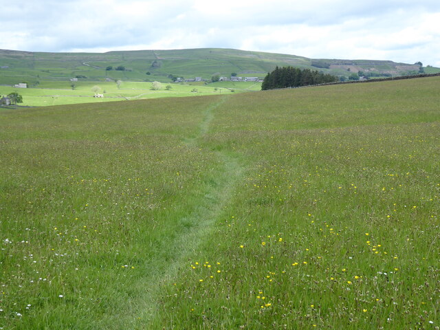
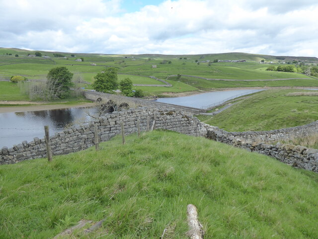
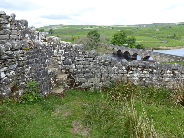
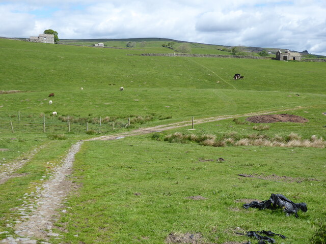
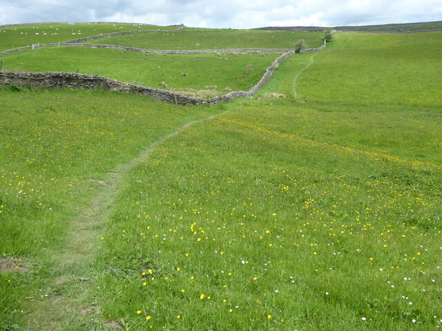
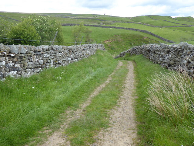
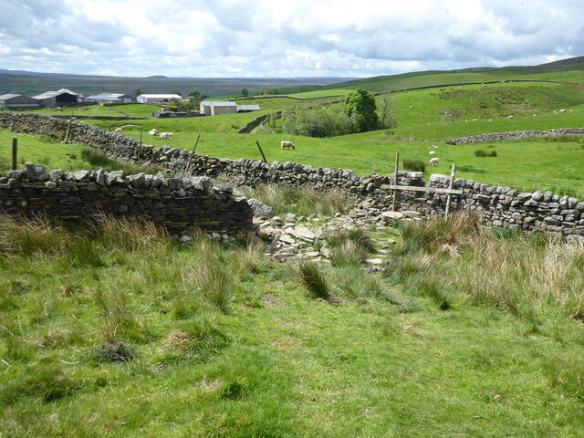
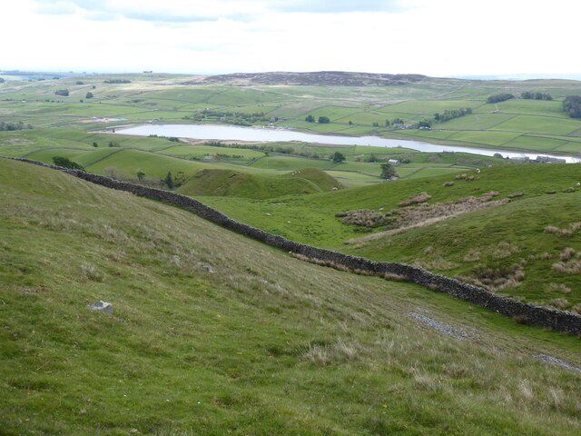
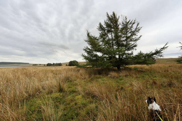
Grassholme Images

Images are sourced within 2km of 54.589509/-2.1169557 or Grid Reference NY9221. Thanks to Geograph Open Source API. All images are credited.

Kelton Hill
Kelton Hill
Wall end with 'gatepost' north-west of Kelton Hill The 'gatepost' has been cut with slots into which the ends of lengths of timber would be slotted; they would engage similarly on another stone post providing a means of opening and closing a 'gateway' without the need to construct and hang an actual gate. Lunedale with Little Fell, Mickle Fell and Bink Moss lie beyond the grassy moorland and Selset Reservoir.
Wall end with 'gatepost' north-west of Kelton Hill
The 'gatepost' has been cut with slots into which the ends of lengths of timber would be slotted; they would engage similarly on another stone post providing a means of opening and closing a 'gateway' without the need to construct and hang an actual gate. Lunedale with Little Fell, Mickle Fell and Bink Moss lie beyond the grassy moorland and Selset Reservoir.
Kelton Hill Taken from the very top right corner of the square, where the Pennine Way just grazes the corner (NY929199 on the GPS!)
Kelton Hill
Taken from the very top right corner of the square, where the Pennine Way just grazes the corner (NY929199 on the GPS!)
Kelton Hill View looking up towards Kelton Hill from Sleetburn Farm.
Kelton Hill
View looking up towards Kelton Hill from Sleetburn Farm.
Former Chapel Looks like under conversion to a dwelling
Former Chapel
Looks like under conversion to a dwelling
Dry Stone Wall at Selset Reservoir from Lane Head Cottages
Grassholme Reservoir
Fork in the road near Grassholme
West Pasture Farm
West Pasture Farm
The Pennine Way near Beck Head
The Pennine Way near Grassholme Reservoir
The Pennine Way near Grassholme Farm
The Pennine Way near Collin Hill
The Pennine Way near Hawkser Spring
View from the Pennine Way near Pin Gate
Isolated tree on south shore of Selset reservoir Although low water levels in the reservoir made for easy walking on the south shore, there were a lot of geese on the shore and close to it on the water, so we thought it prudent to wade through the long sedges rather than cause disturbance. This put us closer to the trees, where a small plantation is supplying seed for a small number of volunteer seedlings invading towards the lake.
Isolated tree on south shore of Selset reservoir
Although low water levels in the reservoir made for easy walking on the south shore, there were a lot of geese on the shore and close to it on the water, so we thought it prudent to wade through the long sedges rather than cause disturbance. This put us closer to the trees, where a small plantation is supplying seed for a small number of volunteer seedlings invading towards the lake.
Show me another place!

Grassholme is located at Grid Ref: NY9221 (Lat: 54.589509, Lng: -2.1169557)

Division: North Riding

Unitary Authority: County Durham

Police Authority: Durham

What 3 Words

///corrupted.sinkhole.bristle. Near Mickleton, Co. Durham

Nearby Locations

Grassholme

Related Wikis

Grassholme

Grassholme is a village in County Durham, England. For centuries it lay within the historic county boundaries of the North Riding of Yorkshire, but, along...

Rigg Farm and Stake Hill Meadows

Rigg Farm and Stake Hill Meadows is a Site of Special Scientific Interest in the Teesdale district of County Durham, England. It is situated in Lunedale...

Selset Reservoir

Selset Reservoir is a reservoir in County Durham, England. It is situated in Lunedale which is a side valley of the River Tees, about 5 miles (8 km) west...

Thringarth

Thringarth is a hamlet in Lunedale, in the Pennines of England. It is traditionally located in the North Riding of Yorkshire but along with the rest of...

Nearby Amenities

Located within 500m of 54.589509,-2.1169557
Barrier: stile
Lat/Long: 54.591734/-2.1154988
Low Selset
Place: farm
Source: OS 1:25k
Lat/Long: 54.5894739/-2.1212211
Grassholme
Place: locality
Source: OSODSV
Wikidata: Q5597526
Lat/Long: 54.5889252/-2.1157286
Grassholme Farm
Image: https://www.geograph.org.uk/photo/2510511
Place: farm
Source Name: OS OpenData StreetView
Lat/Long: 54.5897506/-2.116423
Power: pole
Lat/Long: 54.5897283/-2.1236376
Power: pole
Lat/Long: 54.5897322/-2.1224776
Power: pole
Lat/Long: 54.5897221/-2.1214691
Power: pole
Lat/Long: 54.5898869/-2.124504
Barrier: cattle_grid
Lat/Long: 54.5895255/-2.1117555
Leisure: picnic_table
Lat/Long: 54.5897043/-2.1115771
Access: no
Barrier: kissing_gate
Lat/Long: 54.589048/-2.1094005
Life Ring
Emergency: life_ring
Lat/Long: 54.5901348/-2.1107972
The data included in this document is from www.openstreetmap.org. The data is made available under ODbL.

Have you been to Grassholme?

Leave your review of Grassholme below (or comments, questions and feedback).