Gravel
Settlement in Radnorshire
Wales
Gravel
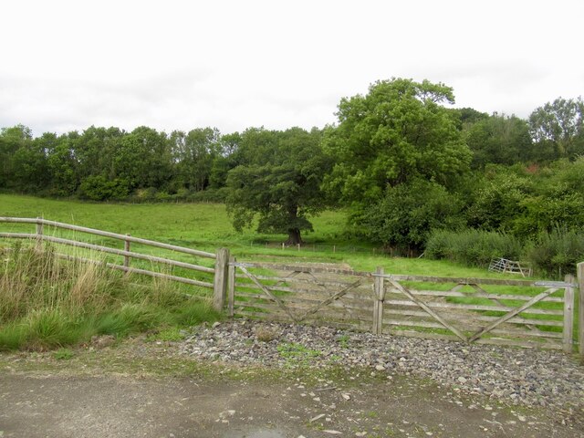
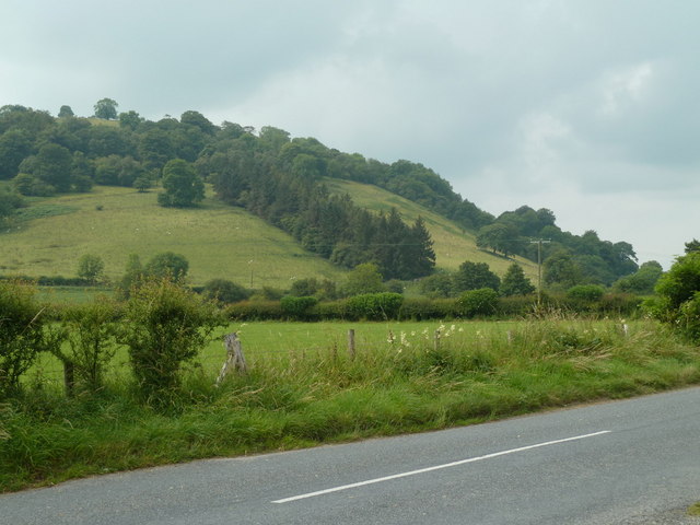
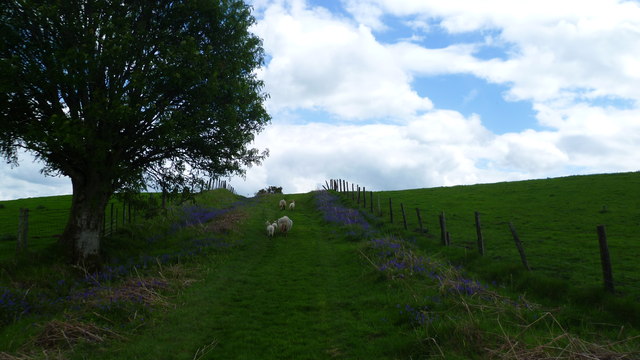
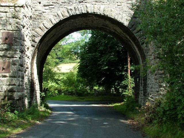
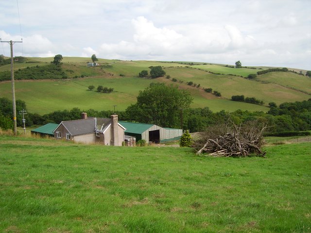
Gravel is a small village located in Radnorshire, Wales. It is situated in the beautiful countryside, surrounded by rolling hills and lush green fields. The village is known for its peaceful and picturesque setting, making it a popular destination for those seeking a tranquil retreat.
Gravel has a small population, with a close-knit community that is known for its friendliness and hospitality. The village is home to a few local shops and businesses, as well as a church and a community center where residents can gather for events and social activities.
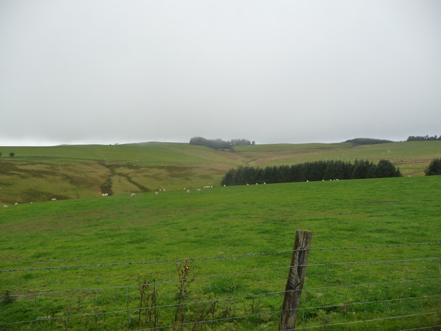
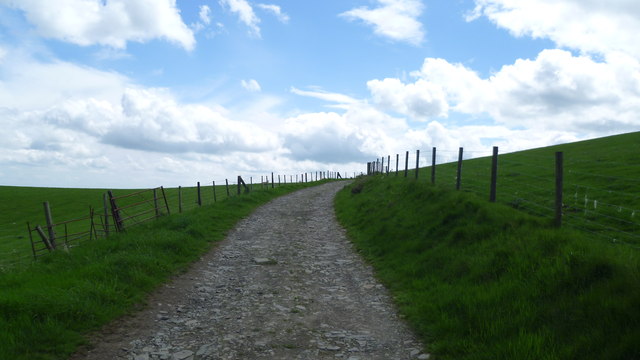
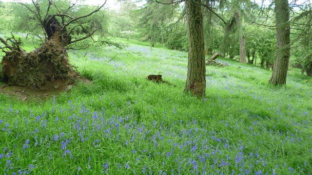
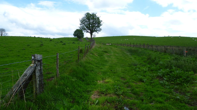
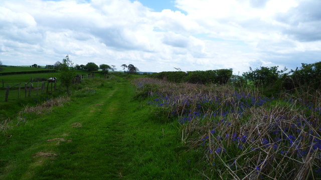
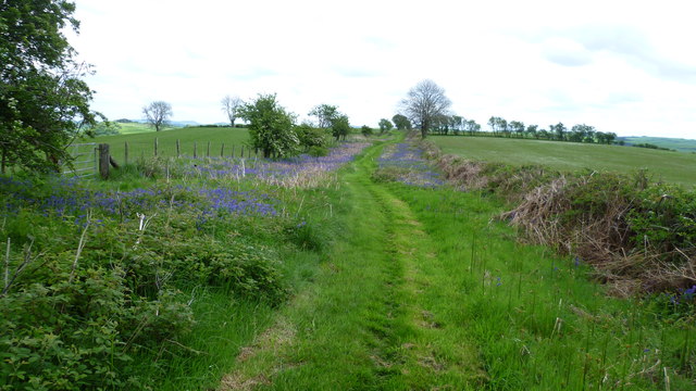
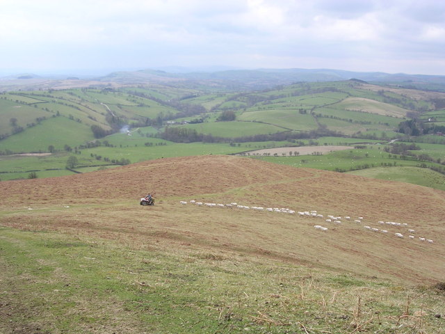
The landscape around Gravel is predominantly agricultural, with many farms producing crops and livestock. The area is also known for its natural beauty, with plenty of walking and hiking trails for outdoor enthusiasts to explore.
Overall, Gravel is a charming village that offers a peaceful and idyllic lifestyle for its residents. Its rural setting and friendly atmosphere make it a desirable place to live or visit for those looking to escape the hustle and bustle of city life.
If you have any feedback on the listing, please let us know in the comments section below.
Gravel Images
Images are sourced within 2km of 52.343299/-3.1968744 or Grid Reference SO1872. Thanks to Geograph Open Source API. All images are credited.
Gravel is located at Grid Ref: SO1872 (Lat: 52.343299, Lng: -3.1968744)
Unitary Authority: Powys
Police Authority: Dyfed Powys
What 3 Words
///noise.skillet.puppets. Near Whitton, Powys
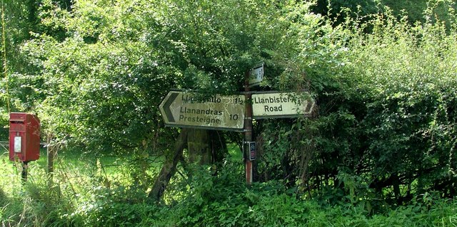
Nearby Locations
Related Wikis

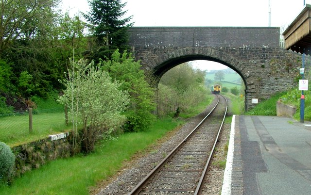
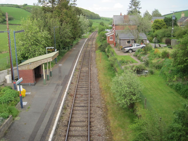
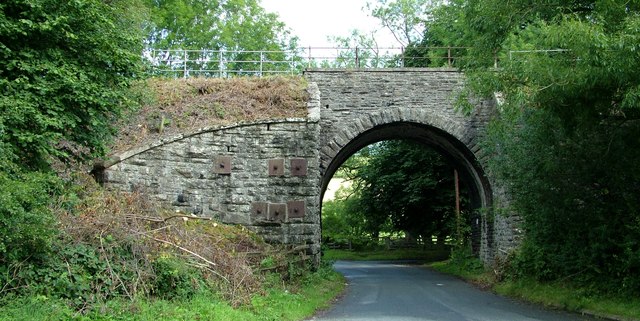
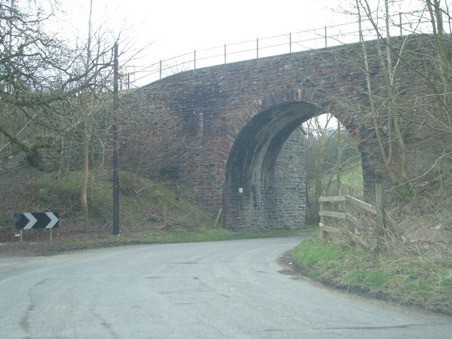
Llanbister Road railway station
Llanbister Road railway station is a countryside stop about 5 miles (8 km) from the village of Llanbister, Powys, Wales. The station is 41+3⁄4 miles (67...

Llangynllo railway station
Llangynllo railway station is a countryside stop in Powys about 5 miles west of Knighton, on the Heart of Wales Line. The station is located 1.4 miles...

Llangunllo
Llangunllo (sometimes Llangynllo) is a village and community in central Powys (formerly in Radnorshire), Wales, located about 5 miles west of Knighton...
Beacon Hill, Powys
Beacon Hill (Welsh: Mynydd Disglair) is a hill in the county of Radnorshire, Wales. It lies within the Powys unitary council area. It is located north...
Nearby Amenities
Located within 500m of 52.343299,-3.1968744Have you been to Gravel?
Leave your review of Gravel below (or comments, questions and feedback).