Goat Lees
Settlement in Kent Ashford
England
Goat Lees

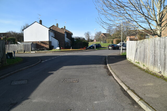
Goat Lees is a small residential area located in Ashford, Kent, England. Situated on the outskirts of the town, it is primarily a suburban neighborhood offering a tranquil and peaceful environment for its residents.
The area is characterized by its predominantly residential properties, which include a mix of houses and some apartment complexes. The housing stock ranges from modern builds to more traditional styles, catering to a diverse range of preferences. Many of these properties have gardens, contributing to the overall green and picturesque atmosphere of the area.
Goat Lees benefits from its proximity to various amenities and facilities. The nearby Ashford Designer Outlet, one of the largest outlet shopping centers in the UK, offers a wide range of retail stores, restaurants, and entertainment options. Additionally, the town center of Ashford is easily accessible, providing residents with access to a variety of shops, supermarkets, schools, and healthcare facilities.
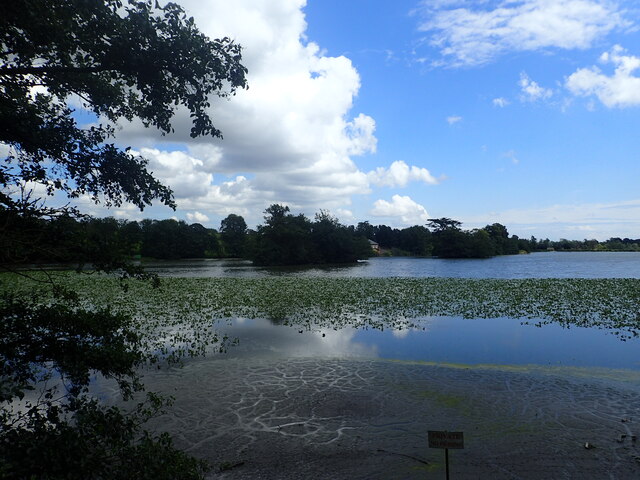
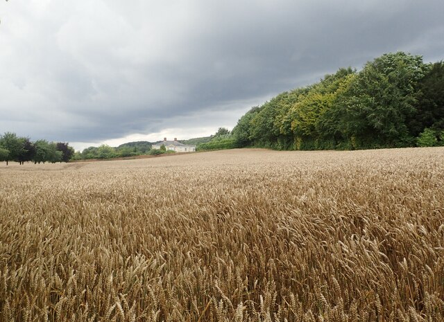
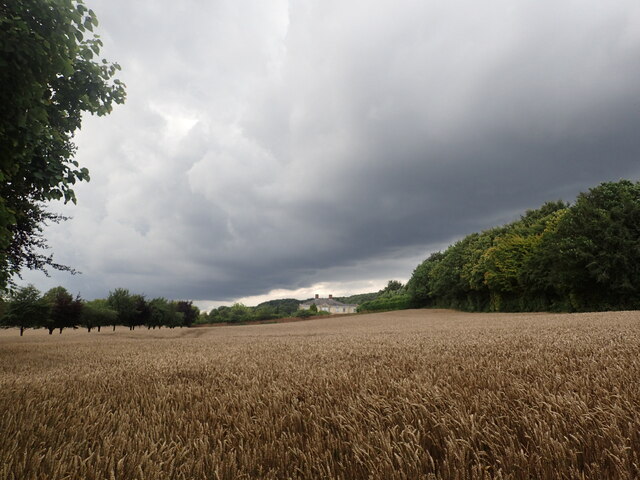
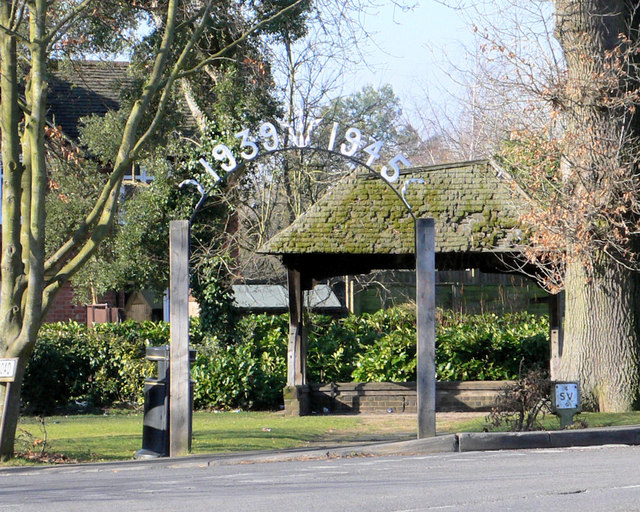
For outdoor enthusiasts, Goat Lees is surrounded by beautiful countryside and offers easy access to numerous walking and cycling paths. The area is also conveniently located near the M20 motorway, providing excellent transport links to other parts of Kent and beyond.
Overall, Goat Lees provides a peaceful and family-friendly environment with a range of amenities and convenient transport links, making it an attractive place to live in the Ashford area.
If you have any feedback on the listing, please let us know in the comments section below.
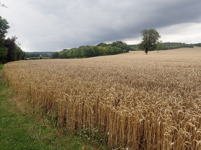
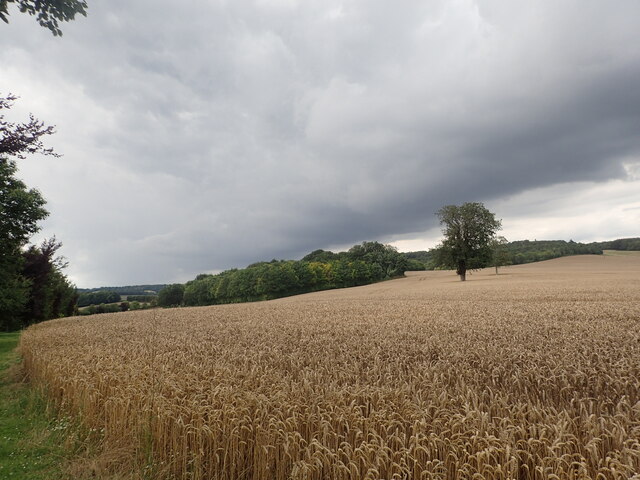
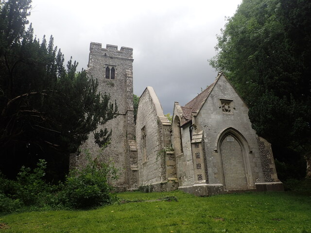
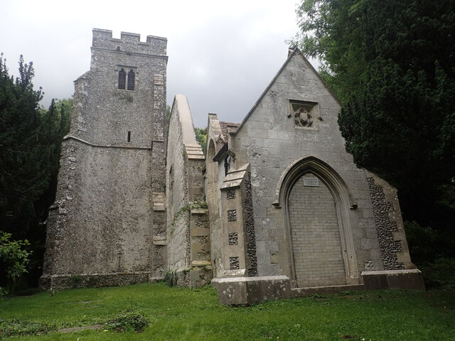
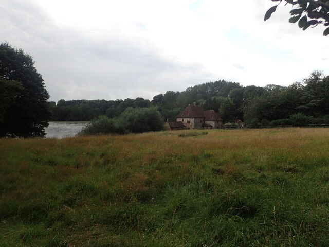
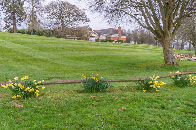
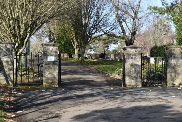
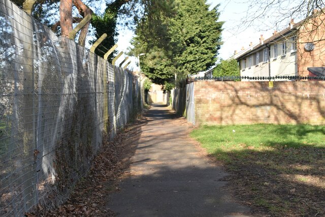
Goat Lees Images
Images are sourced within 2km of 51.176191/0.87733239 or Grid Reference TR0145. Thanks to Geograph Open Source API. All images are credited.
Goat Lees is located at Grid Ref: TR0145 (Lat: 51.176191, Lng: 0.87733239)
Administrative County: Kent
District: Ashford
Police Authority: Kent
What 3 Words
///universes.bulk.tasteful. Near Kennington, Kent
Nearby Locations
Related Wikis

The Towers School
The Towers School and Sixth Form Centre is a secondary school (Academy) in Ashford, Kent. The school was first established in 1967 and was named after...
Grosvenor Hall (estate)
Grosvenor Hall is an estate in Kennington, Ashford, Kent. At first a sanitorium, it was repurposed as a training site for police recruits and called the...
Kennington, Kent
Kennington is a suburb of Ashford and civil parish in Kent, England. It is about a mile northeast of the town centre and north of the M20 motorway, and...

Saint Christopher's Church, Boughton Lees
Saint Christopher's Church is a mediaeval Grade II listed church in Boughton Lees near Ashford, Kent, part of the Church of England.The building was originally...

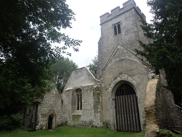
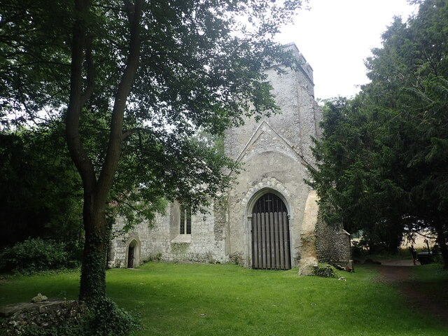
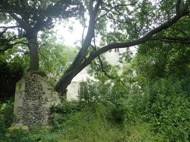
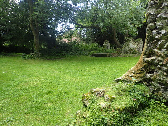
St Mary's Church, Eastwell
St Mary's Church is a ruined former Church of England parish church, in the grounds of Eastwell Park in the hamlet of Eastwell, Kent, England. It is recorded...

Boughton Lees
Boughton Lees is a village in the civil parish of Boughton Aluph, Ashford District, Kent, England. It stands on the main Ashford-Faversham road, some 3...

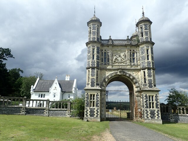
Eastwell Park
Eastwell Park is a large area of parkland and a country estate in the civil parish of Eastwell, adjoining Ashford, Kent, in England. It was owned by the...

A28 road
The A28 is a trunk road in the counties of Kent and East Sussex in south east England, connecting Margate, Canterbury, Ashford and Hastings. Starting at...
Related Videos

We Stayed At Travelodge, Ashford , Kent
Welcome to the #SGFAM!, #autismfamilyvlogs #autism #autismfamily Channel Membership ...

Champneys Spa day at Eastwell Manor
A lovely stay and spa day at Champneys. They have an outdoor heated pool, lots of natural grounds, and water features.

11 March 2022
Short break at Eastwell Manor, Champneys Hotel & Spa#Eastwellmanor#Kent#uk.

Potters Corner West World Ashford Kent England
Potters Corner West World Ashford Kent England DannySloggettVision.
Nearby Amenities
Located within 500m of 51.176191,0.87733239Have you been to Goat Lees?
Leave your review of Goat Lees below (or comments, questions and feedback).