Godfreyhole

Settlement in Derbyshire Derbyshire Dales

England

Godfreyhole

St John's Street, Wirksworth The main road through the town, the B5023. Coldwell Street joins from the left.
St John's Street, Wirksworth Credit: Bill Boaden

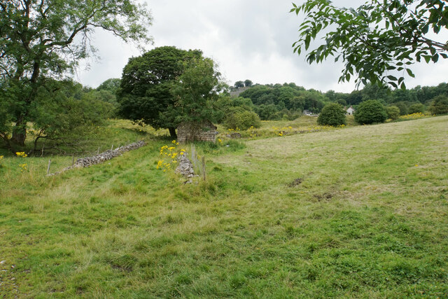
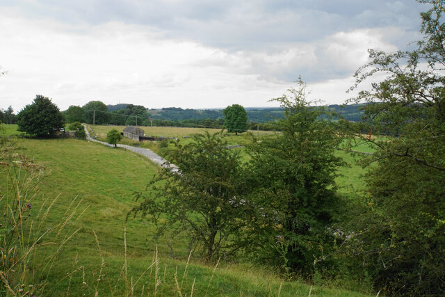
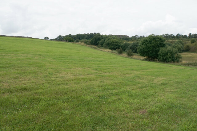
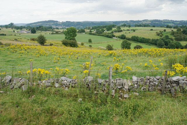
Godfreyhole is a small village located in the county of Derbyshire, England. Situated in the Amber Valley district, it is nestled within the picturesque countryside of the East Midlands region. The village is part of the civil parish of Pentrich, and is surrounded by rolling hills and verdant fields, offering residents and visitors a tranquil and idyllic setting.

Despite its modest size, Godfreyhole has a rich history that dates back several centuries. It is believed that the village was established during the medieval period, and it has retained much of its traditional charm. The architecture of the village reflects its historical significance, with a number of well-preserved buildings and cottages that showcase the local heritage.

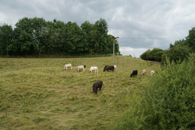
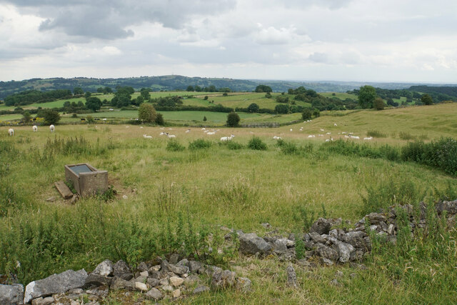
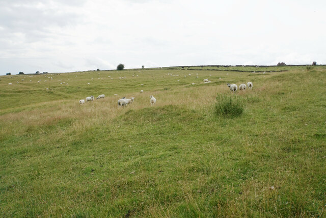
The community of Godfreyhole is close-knit and welcoming, with a population that primarily engages in agricultural activities. Farming and livestock rearing are prominent occupations, and the village benefits from the fertile soil and favorable climate of the region.

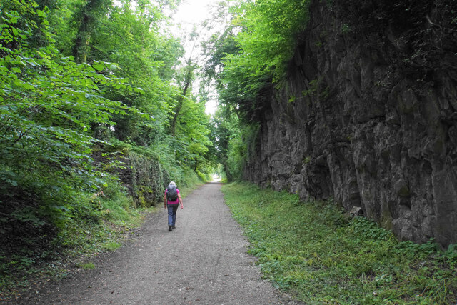
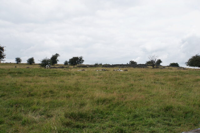
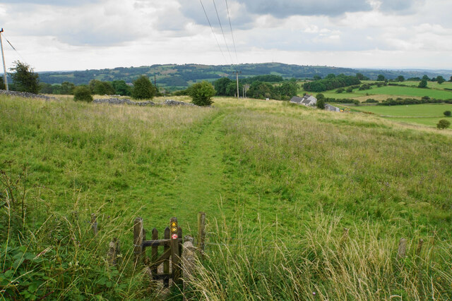
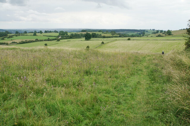
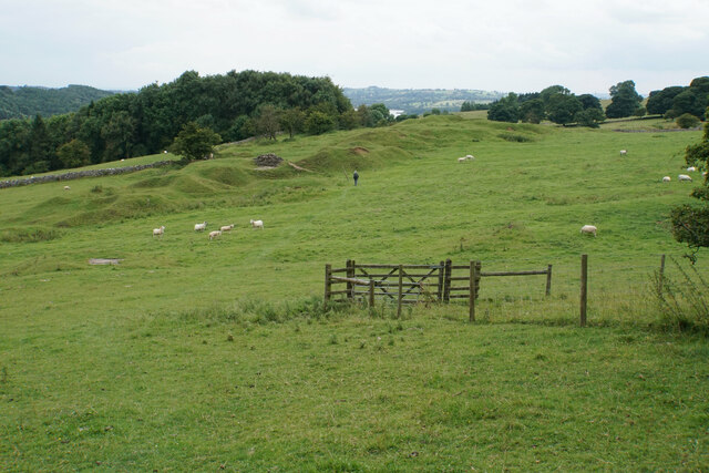
For those who appreciate the great outdoors, Godfreyhole offers an abundance of natural beauty and recreational opportunities. The nearby countryside provides ample space for hiking, cycling, and exploring the picturesque landscapes. The village is also within proximity to the Peak District National Park, one of England's most beloved and renowned outdoor destinations.

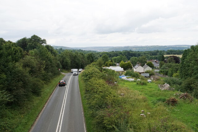
In terms of amenities, Godfreyhole is equipped with a village hall that serves as a central meeting point for social events and community gatherings. Additionally, the village is within a short drive of larger towns and cities, offering residents convenient access to a wider range of services and amenities.

Overall, Godfreyhole in Derbyshire offers a peaceful and scenic retreat for those seeking a slower pace of life in a charming rural setting.

If you have any feedback on the listing, please let us know in the comments section below.
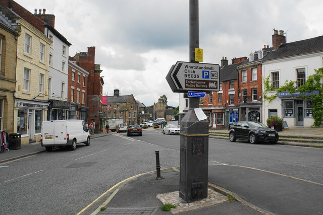
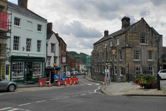
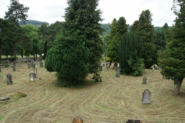
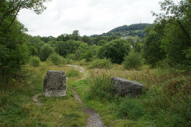
Godfreyhole Images

Images are sourced within 2km of 53.080232/-1.5979005 or Grid Reference SK2753. Thanks to Geograph Open Source API. All images are credited.

St John's Street, Wirksworth The main road through the town, the B5023. Coldwell Street joins from the left.
St John's Street, Wirksworth
The main road through the town, the B5023. Coldwell Street joins from the left.
St John's Street, Wirksworth The main road through the town. It is quite narrow anyway, so is not helped by some roadworks at the narrowest point.
St John's Street, Wirksworth
The main road through the town. It is quite narrow anyway, so is not helped by some roadworks at the narrowest point.
Wirksworth Cemetery Run by Derbyshire Dales District Council. The mower has produced a striking swirly effect.
Wirksworth Cemetery
Run by Derbyshire Dales District Council. The mower has produced a striking swirly effect.
Former quarry land near Wirksworth This is where quarry produce was prepared for removal by rail. Further down in the trees is Ravenstor railway station, now the terminus of a heritage railway.
Former quarry land near Wirksworth
This is where quarry produce was prepared for removal by rail. Further down in the trees is Ravenstor railway station, now the terminus of a heritage railway.
Path up to Middleton Top The hillside was once dominated by quarrying but has been successfully reclaimed by nature.
Path up to Middleton Top
The hillside was once dominated by quarrying but has been successfully reclaimed by nature.
Middleton Incline One of several former inclines on the former Cromford and High Peak Railway. This one was 708 yards long with a gradient of 1 in 8 3/4. The route is now part of the High Peak Trail.
Middleton Incline
One of several former inclines on the former Cromford and High Peak Railway. This one was 708 yards long with a gradient of 1 in 8 3/4. The route is now part of the High Peak Trail.
Cattle near Middle Peak As seen from the High Peak Trail.
Cattle near Middle Peak
As seen from the High Peak Trail.
B5035 at Middleton As seen from the High Peak Trail. Part of the village can be seen as well as the Derwent valley in the distance.
B5035 at Middleton
As seen from the High Peak Trail. Part of the village can be seen as well as the Derwent valley in the distance.
Cattle at Middleton Top Looking upwards on Middleton Moor.
Cattle at Middleton Top
Looking upwards on Middleton Moor.
Redhill Quarry A former quarry which is now a nature reserve and a picnic site.
Redhill Quarry
A former quarry which is now a nature reserve and a picnic site.
Fields and barn below Middleton Top Looking down from the High Peak Trail.
Fields and barn below Middleton Top
Looking down from the High Peak Trail.
Path towards Wirksworth Quite a long descent through former quarry land.
Path towards Wirksworth
Quite a long descent through former quarry land.
Path towards Hopton The path stays on higher ground which now aids livestock farming, but formerly was subject to a lot of mining.
Path towards Hopton
The path stays on higher ground which now aids livestock farming, but formerly was subject to a lot of mining.
Field below Intake Quarry Part of the disused quarry can be seen at the top of the hill. The High Peak Trail and Pennine Bridleway pass across just below the top.
Field below Intake Quarry
Part of the disused quarry can be seen at the top of the hill. The High Peak Trail and Pennine Bridleway pass across just below the top.
Sheep grazing below Gallows Knoll Looking down towards the Ecclesbourne valley.
Sheep grazing below Gallows Knoll
Looking down towards the Ecclesbourne valley.
Sheep below Gallows Knoll Looking up towards the top of the moor which reaches 325 metres above sea level.
Sheep below Gallows Knoll
Looking up towards the top of the moor which reaches 325 metres above sea level.
Field of ragwort Bad news for grazing, which is what most of this hillside is used for.
Field of ragwort
Bad news for grazing, which is what most of this hillside is used for.
Path to Hopton There is a clear line of former mine workings, though the land is all now given over to sheep. In the background is Carsington Water.
Path to Hopton
There is a clear line of former mine workings, though the land is all now given over to sheep. In the background is Carsington Water.
Show me another place!

Godfreyhole is located at Grid Ref: SK2753 (Lat: 53.080232, Lng: -1.5979005)

Administrative County: Derbyshire

District: Derbyshire Dales

Police Authority: Derbyshire

What 3 Words

///windpipe.buildings.mistress. Near Wirksworth, Derbyshire

Related Wikis

Godfreyhole

Godfreyhole is a hamlet in Derbyshire, England. It is located at the junction of the B5035 and West End roads, 2 miles (3.2 km) west of Wirksworth, the...

Dream Cave

Dream Cave (sometimes called Dream Hole or Dream Mine) is a natural limestone cavern located near Wirksworth in Derbyshire, England. It was discovered...

Hopton Tunnel

Hopton Tunnel is a former railway tunnel in Hopton, Derbyshire. Located on the former Cromford and High Peak Railway. The tunnel was closed along with...
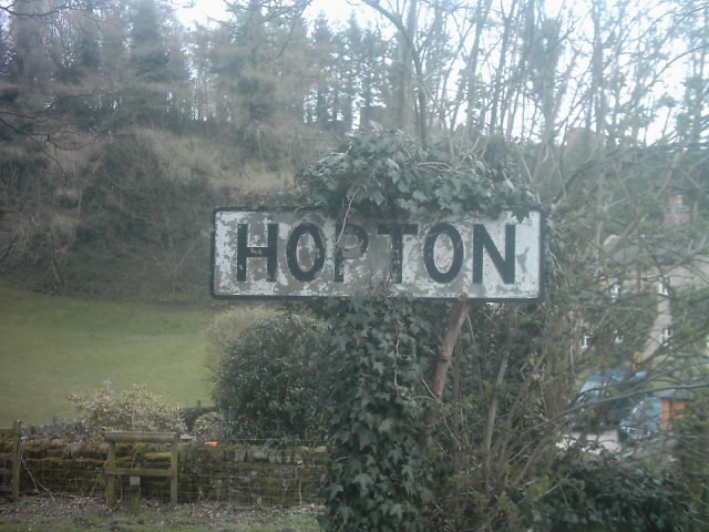
Hopton, Derbyshire

Hopton is a small village adjacent to the village of Carsington and two miles from the market town of Wirksworth in the Peak District. Evidence of humans...

Derby Road Ground

Derby Road Ground is a cricket ground in Wirksworth, Derbyshire. The first recorded match on the ground was in 1866, when Wirksworth played an All-England...
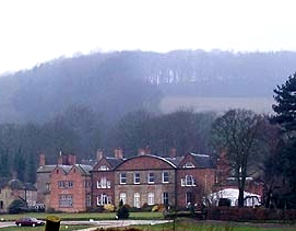
Hopton Hall

Hopton Hall is an 18th-century country house at Hopton, near Wirksworth, Derbyshire. It is a Grade II listed building. The Manor of Hopton, anciently the...

Wirksworth

Wirksworth is a market town in the Derbyshire Dales district of Derbyshire, England. Its population of 4,904 in the 2021 census was estimated at 5,220...

St Mary's Church, Wirksworth

St Mary the Virgin is a parish church in the Church of England in Wirksworth, Derbyshire. It is a Grade I listed building. The existing building dates...

Nearby Amenities

Located within 500m of 53.080232,-1.5979005
Godfreyhole
Is In: Derbyshire, England, UK
Place: hamlet
Wikidata: Q5576601
Lat/Long: 53.0795055/-1.5975039
Note: National speed limit sign eastbound
Traffic Sign Forward: GB:671
Lat/Long: 53.0802315/-1.5975972
Passing Place
Lat/Long: 53.0766121/-1.6019951
Barrier: stile
Material: wood
Steps: 4
Stile: ladder
Lat/Long: 53.076795/-1.5982981
Passing Place
Lat/Long: 53.0776198/-1.6029375
Barrier: stile
Stile: squeezer
Lat/Long: 53.0814796/-1.5912938
Power: pole
Lat/Long: 53.0786398/-1.6005921
Power: pole
Lat/Long: 53.0787691/-1.6017428
Power: pole
Lat/Long: 53.0789084/-1.6028801
Power: pole
Lat/Long: 53.0785813/-1.6038698
Material: wood
Power: pole
Lat/Long: 53.0785556/-1.6042265
Power: pole
Lat/Long: 53.0778764/-1.6038242
The data included in this document is from www.openstreetmap.org. The data is made available under ODbL.

Have you been to Godfreyhole?

Leave your review of Godfreyhole below (or comments, questions and feedback).