Glasserton
Settlement in Wigtownshire
Scotland
Glasserton

Glasserton is a small rural village located in the historical county of Wigtownshire, in the southwestern part of Scotland. Situated approximately 4 miles northwest of the town of Whithorn, Glasserton is nestled amidst picturesque countryside and offers a tranquil and idyllic setting.
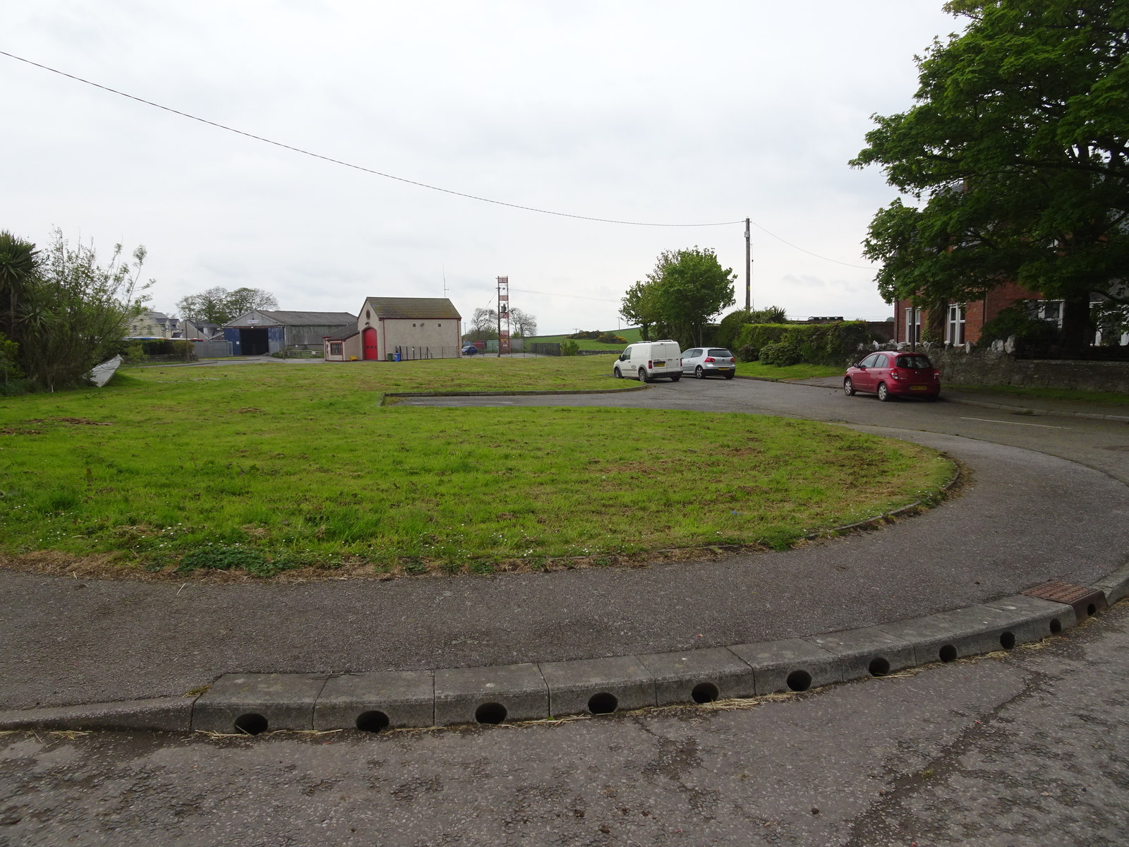
The village is predominantly residential, with a population of around 300 people. It is characterized by its charming stone-built houses and cottages, which are surrounded by lush green fields and rolling hills. The landscape surrounding Glasserton is known for its natural beauty, with stunning views of the Galloway Hills to the north.
One of the notable features of Glasserton is the presence of the historic Glasserton House. Built in the early 19th century, this grand mansion showcases fine Georgian architecture and is set within extensive landscaped gardens. The house has served various purposes throughout its history, including being a private residence, a hotel, and a nursing home. Today, it remains a prominent landmark in the village and is a testament to its rich heritage.
Despite its small size, Glasserton boasts a tight-knit community that actively participates in local events and activities. The village has a community hall, which serves as a hub for social gatherings and events, fostering a sense of unity among its residents.
While Glasserton may not offer extensive amenities, its peaceful and scenic surroundings make it an ideal location for those seeking a tranquil rural lifestyle. Its proximity to the town of Whithorn provides access to essential services, including shops, schools, and healthcare facilities.
In conclusion, Glasserton is a charming village in Wigtownshire, Scotland, known for its picturesque countryside, historic landmarks, and close-knit community. Its tranquil setting and rich heritage make it an appealing place to live or visit for those seeking a quieter rural experience.
If you have any feedback on the listing, please let us know in the comments section below.
Glasserton Images
Images are sourced within 2km of 54.72491/-4.4660113 or Grid Reference NX4139. Thanks to Geograph Open Source API. All images are credited.


Glasserton is located at Grid Ref: NX4139 (Lat: 54.72491, Lng: -4.4660113)
Unitary Authority: Dumfries and Galloway
Police Authority: Dumfries and Galloway
What 3 Words
///bends.boxer.sapping. Near Whithorn, Dumfries & Galloway
Nearby Locations
Related Wikis

Glasserton
Glasserton is a civil parish in Dumfries and Galloway, south-west Scotland. It is on the Machars peninsula, in the traditional county of Wigtownshire....
Rispain Camp
Rispain Camp is the remains of a fortified farmstead 1 mile west of Whithorn, Dumfries and Galloway, Scotland. It is one of the major Iron Age archaeological...

Whithorn Priory
Whithorn Priory was a medieval Scottish monastery that also served as a cathedral, located at 6 Bruce Street in Whithorn, Wigtownshire, Dumfries and Galloway...
Candida Casa
Candida Casa was the name given to the church established by St Ninian in Whithorn, Galloway, southern Scotland, in the mid fifth century AD. The name...
Whithorn
Whithorn (Scots pronunciation: [ˈʍɪthorn], Taigh Mhàrtainn in modern Gaelic), is a royal burgh in the historic county of Wigtownshire in Dumfries and Galloway...
Whithorn railway station
Whithorn is the closed terminus of the Wigtownshire Railway branch, from Newton Stewart, of the Portpatrick and Wigtownshire Joint Railway. It served...

St Ninian's Cave
St Ninian's Cave is a cave in Physgill Glen, Whithorn, Dumfries and Galloway, Scotland. It features in the climax of the acclaimed 1973 horror film The...
Monreith
Monreith ([mɒn'ri:θ] / 'mon-REETH'; Scottish Gaelic: Am Monadh Rèidh) is a small seaside village in the Machars, in the historical county of Wigtownshire...
Nearby Amenities
Located within 500m of 54.72491,-4.4660113Have you been to Glasserton?
Leave your review of Glasserton below (or comments, questions and feedback).