Glassel
Settlement in Kincardineshire
Scotland
Glassel
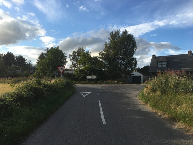
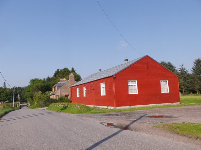
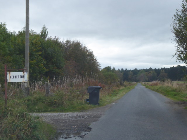
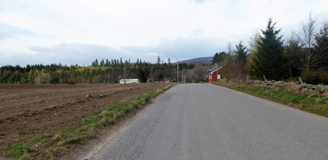
Glassel is a small rural village located in the county of Kincardineshire, Scotland. Situated approximately 30 miles southwest of Aberdeen, it is nestled amidst picturesque countryside and offers a serene and tranquil setting for its residents. The village is part of the wider area known as Deeside, renowned for its natural beauty and outdoor recreational opportunities.
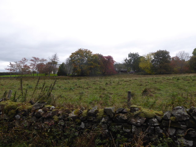
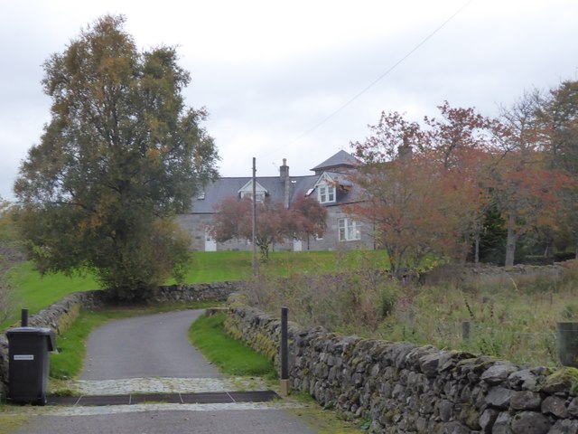
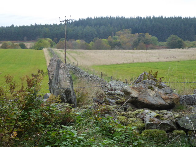
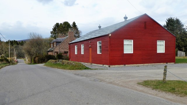
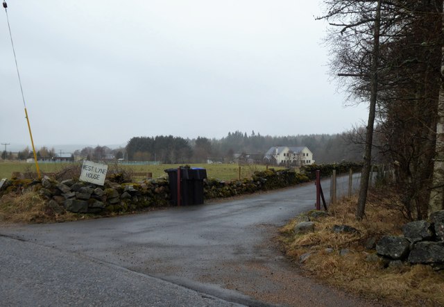
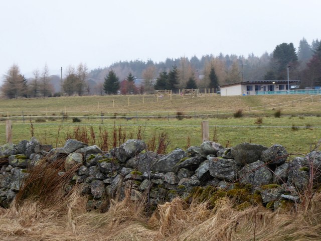
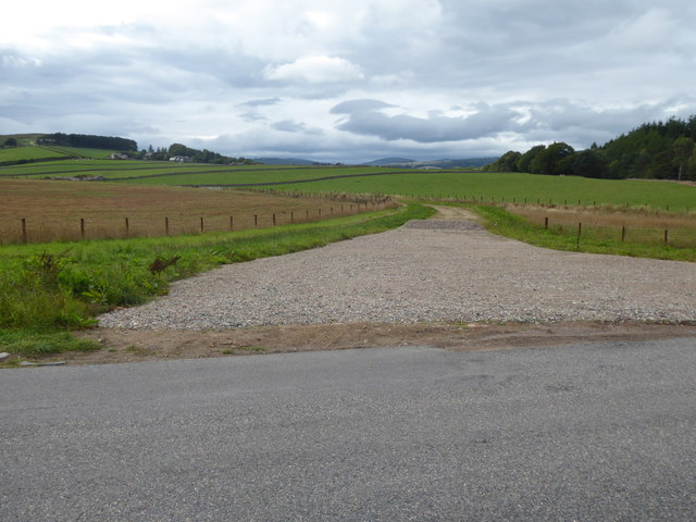
With a population of just under 200 people, Glassel maintains a close-knit community atmosphere. The village is characterized by its charming stone-built cottages, some of which date back several centuries, giving it a sense of historical significance. The surrounding landscape is predominantly rolling hills and lush green farmland, with the River Dee flowing nearby.
Although small in size, Glassel boasts a rich cultural heritage. The village is home to St. Luke's Church, a beautiful place of worship that dates back to the 19th century. It serves as a gathering point for the local community, hosting religious services and community events.
The village's location provides an abundance of outdoor activities for residents and visitors alike. The nearby Cairngorms National Park offers opportunities for hiking, cycling, and wildlife spotting. Additionally, the River Dee is famous for salmon fishing, attracting anglers from around the world.
Despite its rural setting, Glassel benefits from its proximity to larger towns and cities. The city of Aberdeen is easily accessible, providing residents with a range of amenities, including shopping centers, restaurants, and cultural attractions.
In summary, Glassel is a small but vibrant village in Kincardineshire, known for its natural beauty, historical charm, and strong sense of community. It offers a peaceful retreat for those seeking a rural lifestyle while remaining well-connected to nearby urban centers.
If you have any feedback on the listing, please let us know in the comments section below.
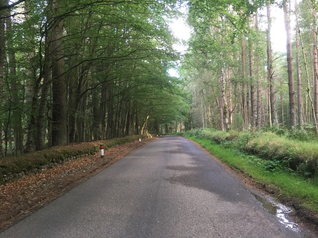
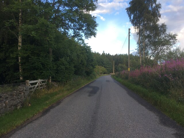
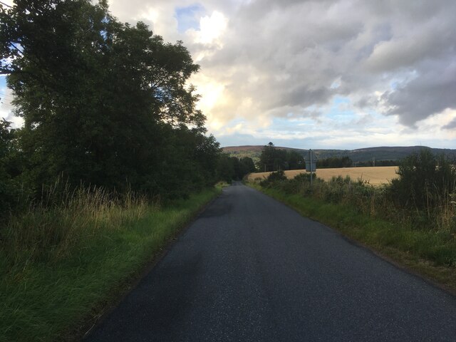
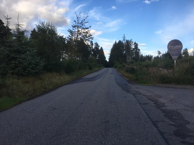
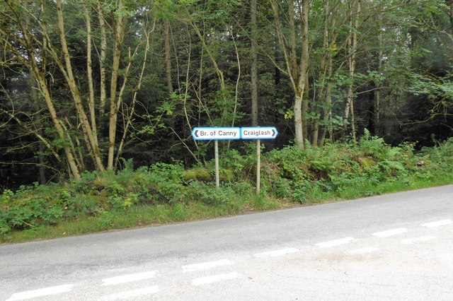
Glassel Images
Images are sourced within 2km of 57.079197/-2.5695783 or Grid Reference NO6598. Thanks to Geograph Open Source API. All images are credited.
Glassel is located at Grid Ref: NO6598 (Lat: 57.079197, Lng: -2.5695783)
Unitary Authority: Aberdeenshire
Police Authority: North East
What 3 Words
///storms.lame.foot. Near Torphins, Aberdeenshire
Related Wikis

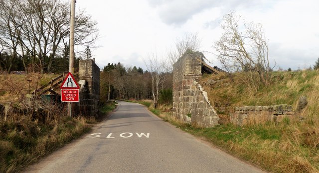
Glassel railway station
Glassel railway station is a disused railway station in Britain. It served Glassel House, the Mill of Beltie and the local farms and the inhabitants of...

Beltie Burn
The Beltie Burn is a burn in Aberdeenshire, Scotland, which below Torphins and Glassel is known as the Burn of Canny. It begins in the hill of Benaquhallie...

Brathens
Brathens is a village in Aberdeenshire, Scotland. == References ==

Cluny Crichton Castle
Cluny Crichton Castle (also known as Clounie Crighton Castle) is a ruined 3-story tower house on the southern slopes of the Hill of Fare in Aberdeenshire...
Nearby Amenities
Located within 500m of 57.079197,-2.5695783Have you been to Glassel?
Leave your review of Glassel below (or comments, questions and feedback).