Gillies' Knowe

Settlement in Ayrshire

Scotland

Gillies' Knowe

Old spoil tip A view looking to the northeast along the B741 towards a disused coal spoil tip, with the forestry plantations on the slopes of Cockclay on the right.
Old spoil tip Credit: Phil Williams

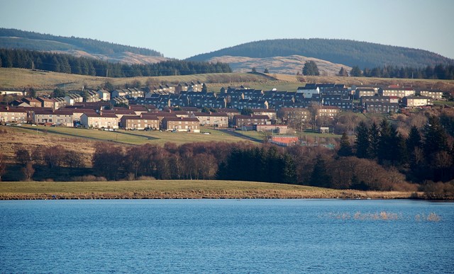
Gillies' Knowe is a small village located in Ayrshire, Scotland. Situated approximately 30 miles southwest of Glasgow, the village is nestled within the picturesque countryside, offering breathtaking views of the surrounding hills and valleys.

With a population of around 500 residents, Gillies' Knowe maintains a close-knit community feel. The village consists primarily of traditional stone houses, giving it a charming and rustic atmosphere. The local economy is mainly centered around agriculture and farming, with lush green fields and farmlands stretching out in every direction.

Gillies' Knowe boasts excellent access to outdoor activities and recreational opportunities. The area is renowned for its stunning walking and hiking routes, attracting nature enthusiasts and outdoor adventurers alike. The nearby Gleniffer Braes Country Park offers a variety of trails and panoramic viewpoints, allowing visitors to immerse themselves in the natural beauty of the region.

Although small in size, the village features essential amenities such as a local pub, a post office, and a small grocery store. For more extensive shopping and entertainment options, residents can easily access nearby towns and cities, including Ayr, Kilmarnock, and Glasgow.

Overall, Gillies' Knowe provides a tranquil and idyllic setting for those seeking a peaceful village lifestyle amidst Scotland's breathtaking landscapes. With its strong community spirit and access to stunning nature, the village offers a welcoming and fulfilling place to call home.

If you have any feedback on the listing, please let us know in the comments section below.

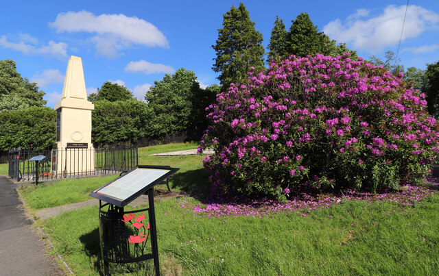
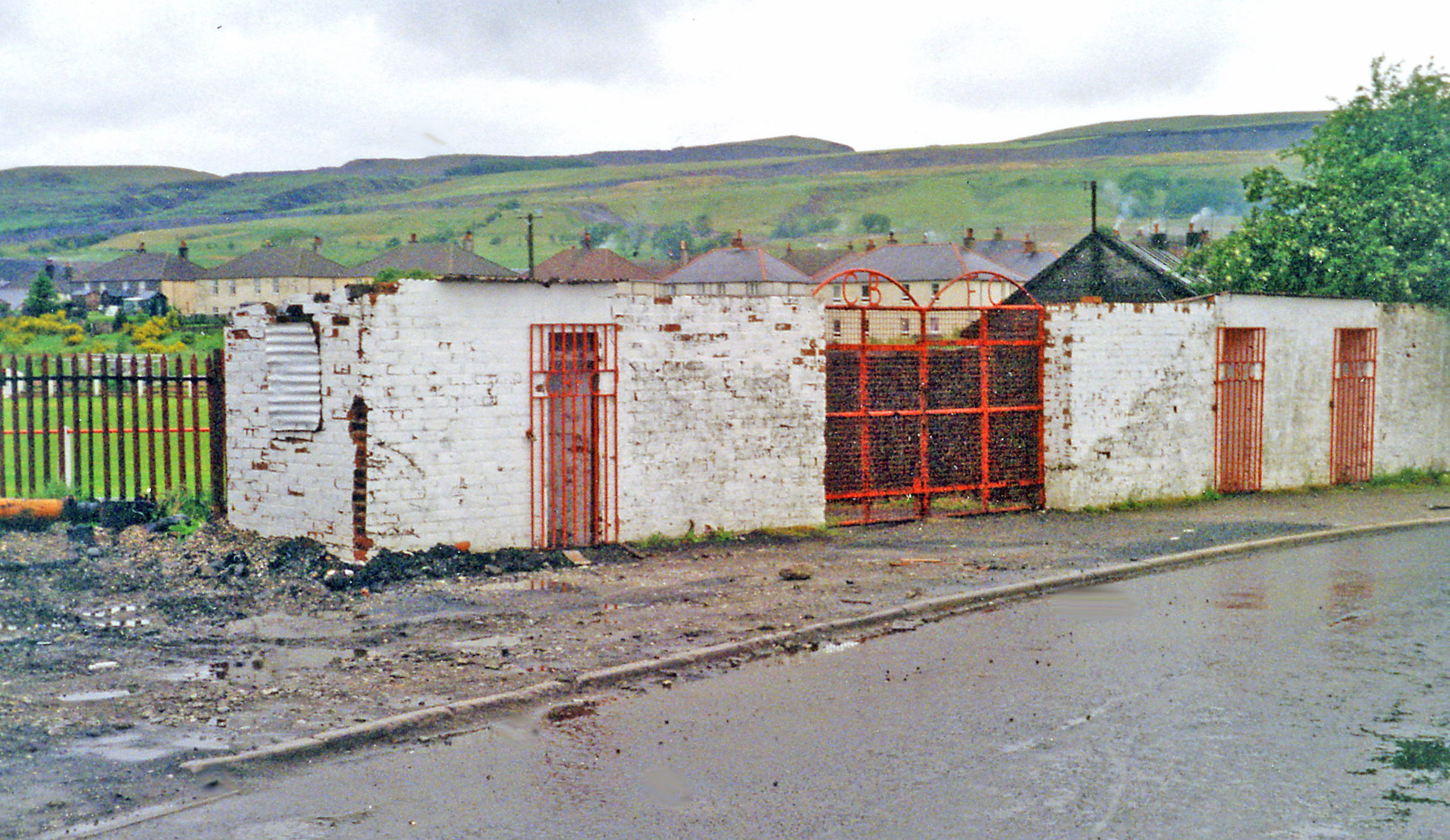
Gillies' Knowe Images

Images are sourced within 2km of 55.327548/-4.3955869 or Grid Reference NS4806. Thanks to Geograph Open Source API. All images are credited.

Old spoil tip A view looking to the northeast along the B741 towards a disused coal spoil tip, with the forestry plantations on the slopes of Cockclay on the right.
Old spoil tip
A view looking to the northeast along the B741 towards a disused coal spoil tip, with the forestry plantations on the slopes of Cockclay on the right.
Arriving at Dalmellington On the A713 from Carsphairn.
Arriving at Dalmellington
On the A713 from Carsphairn.
The Road to Carsphairn Leaving Dalmellington.
The Road to Carsphairn
Leaving Dalmellington.
Woodland at Dalmellington Viewed from the A713.
Woodland at Dalmellington
Viewed from the A713.
Dismantled railway line This was the Ayr & Dalmellington Railway branch line that served the Doon Valley from 1856, originally carrying freight to and from the collieries and ironworks.
Dismantled railway line
This was the Ayr & Dalmellington Railway branch line that served the Doon Valley from 1856, originally carrying freight to and from the collieries and ironworks.
Former colliery site One of the new pools connected with the former open-cast colliery at Chalmerston, near Dalmellington.
Former colliery site
One of the new pools connected with the former open-cast colliery at Chalmerston, near Dalmellington.
A new home for Canada Geese This small but deep pool on the former Chalmerston Colliery site has been claimed by a pair of Canada Geese. The pool lies just inside the square.
A new home for Canada Geese
This small but deep pool on the former Chalmerston Colliery site has been claimed by a pair of Canada Geese. The pool lies just inside the square.
Former colliery pool The highest of the low-level pools at the former open-cast Chalmerston Colliery site.
Former colliery pool
The highest of the low-level pools at the former open-cast Chalmerston Colliery site.
Caldwell’s Glen Viewed on a bright early-March afternoon after several weeks of wet weather. The high ground on the right is part of the restored Chalmerston open-cast colliery.
Caldwell’s Glen
Viewed on a bright early-March afternoon after several weeks of wet weather. The high ground on the right is part of the restored Chalmerston open-cast colliery.
Disused railway line near Dalmellington This view looks towards Dalmellington. A short stretch of this track is used by the steam heritage site at Waterside. See <a href="https://www.geograph.org.uk/photo/5007294">NS4408 : The Dunaskin Chimneys</a>
Disused railway line near Dalmellington
This view looks towards Dalmellington. A short stretch of this track is used by the steam heritage site at Waterside. See NS4408 : The Dunaskin Chimneys
An old way to Waterside This view of the disused railway looks towards Waterside. The line was built by the Dalmellington Iron Company in 1856 to connect the collieries and industrial sites between Waterside and Pennyvenie. See <a href="https://www.geograph.org.uk/photo/5007289">NS4408 : Former Industrial Site at Waterside</a>
An old way to Waterside
This view of the disused railway looks towards Waterside. The line was built by the Dalmellington Iron Company in 1856 to connect the collieries and industrial sites between Waterside and Pennyvenie. See NS4408 : Former Industrial Site at Waterside
Leaving Caldwell’s Glen The track turns here heading for Benwhat.
Leaving Caldwell’s Glen
The track turns here heading for Benwhat.
Towards Hare Craig Hare Craig has been reshaped by the open-cast colliery workings. The access track follows the course of a Roman Road.
Towards Hare Craig
Hare Craig has been reshaped by the open-cast colliery workings. The access track follows the course of a Roman Road.
The Standing Stones of Dael Meallain Tuinn Erected at the end of 1999 to mark over six thousand years of settlement in the Doon Valley, the seven stones record the original seven settlements between Waterside and Pennyvenie. Mining activity and the passage of time have altered and, in some cases, obliterated many of the historical remains. The name means “the meeting place at the mound with a motte”.
The Standing Stones of Dael Meallain Tuinn
Erected at the end of 1999 to mark over six thousand years of settlement in the Doon Valley, the seven stones record the original seven settlements between Waterside and Pennyvenie. Mining activity and the passage of time have altered and, in some cases, obliterated many of the historical remains. The name means “the meeting place at the mound with a motte”.
War Memorial, Dalmellington (1)
War Memorial, Dalmellington (2)
War Memorial, Dalmellington (3)
History of Loch Doon Aerial Gunnery School Next to the War Memorial in Dalmellington.
History of Loch Doon Aerial Gunnery School
Next to the War Memorial in Dalmellington.
Show me another place!

Gillies' Knowe is located at Grid Ref: NS4806 (Lat: 55.327548, Lng: -4.3955869)

Unitary Authority: East Ayrshire

Police Authority: Ayrshire

What 3 Words

///passages.adjusting.droplet. Near Dalmellington, East Ayrshire

Related Wikis

Dalmellington

Dalmellington (Scots: Dawmellinton, Scottish Gaelic: Dail M'Fhaolain) is a market town and civil parish in East Ayrshire, Scotland. In 2001 the village...

Doon Academy

Doon Academy is a secondary school in Dalmellington that caters to the local surrounding areas Dalmellington, Patna, Rankinston and Bellsbank. The current...

Dalmellington railway station

Dalmellington railway station served the town of Dalmellington, East Ayrshire, Scotland, from 1856 to 1964 on the Ayr and Dalmellington Railway. ��2�...

Bellsbank

Bellsbank is a village half a mile away from the market town of Dalmellington in East Ayrshire, Scotland. It is the second-highest place in East Ayrshire...

Nearby Amenities

Located within 500m of 55.327548,-4.3955869
Dalmellington
Alt Name Gd: Dail Meallan
Name En: Dalmellington
Name Gd: Dail M'Fhaolain
Name Sco: Damelintoun
Place: town
Wikidata: Q3997899
Wikipedia: en:Dalmellington
Lat/Long: 55.3232537/-4.3970298
Cafe
Dorine's Tea Room
Lat/Long: 55.323751/-4.3967925
Bus Stop
Lat/Long: 55.3231309/-4.3970794
Spider's Web Stone
Historic: stone
Lat/Long: 55.3291082/-4.3890336
The data included in this document is from www.openstreetmap.org. The data is made available under ODbL.

Have you been to Gillies' Knowe?

Leave your review of Gillies' Knowe below (or comments, questions and feedback).