Gilfoot
Settlement in Ayrshire
Scotland
Gilfoot
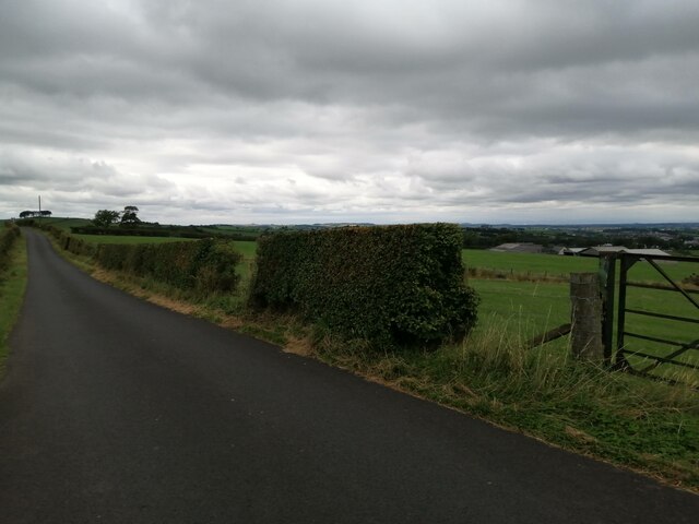
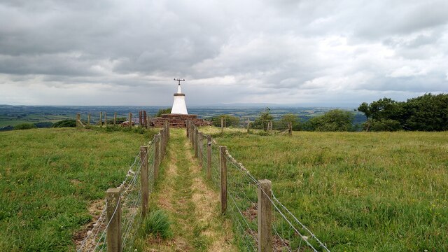
Gilfoot is a small village located in the region of Ayrshire, Scotland. It is situated in a rural area surrounded by rolling hills and farmland. The village is known for its picturesque scenery and tranquil atmosphere, making it a popular destination for those looking to escape the hustle and bustle of city life.
Gilfoot has a small population of around 500 residents, many of whom are employed in agriculture or other rural industries. The village has a primary school, community center, and a few small shops and cafes catering to the local population.
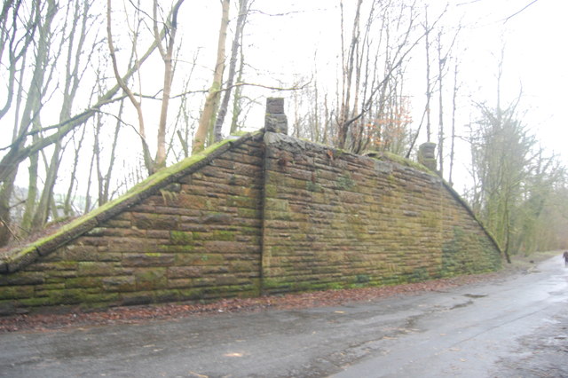
The architecture in Gilfoot is predominantly traditional, with many stone-built cottages and farmhouses dating back several centuries. The village is steeped in history, with several historic landmarks and buildings of interest to visitors.
Overall, Gilfoot offers a peaceful and idyllic setting for those seeking a slower pace of life in the beautiful Scottish countryside. Its charming atmosphere and friendly community make it a hidden gem in the heart of Ayrshire.
If you have any feedback on the listing, please let us know in the comments section below.
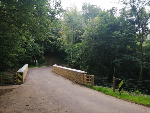
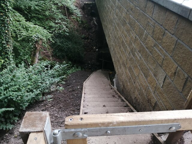
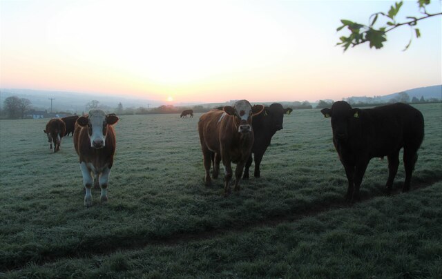
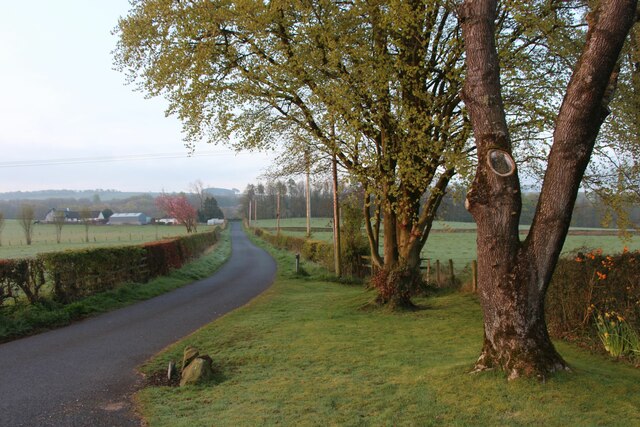
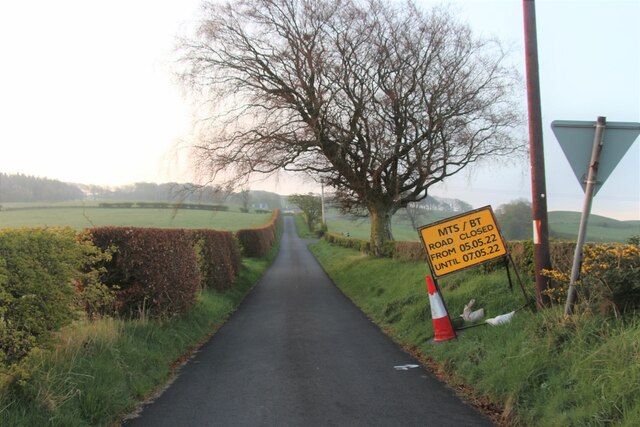
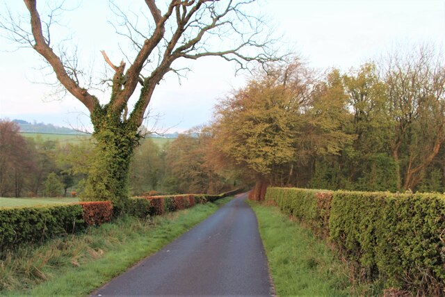
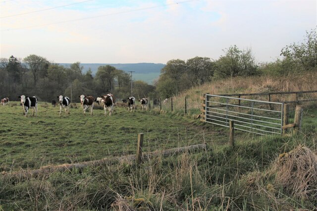
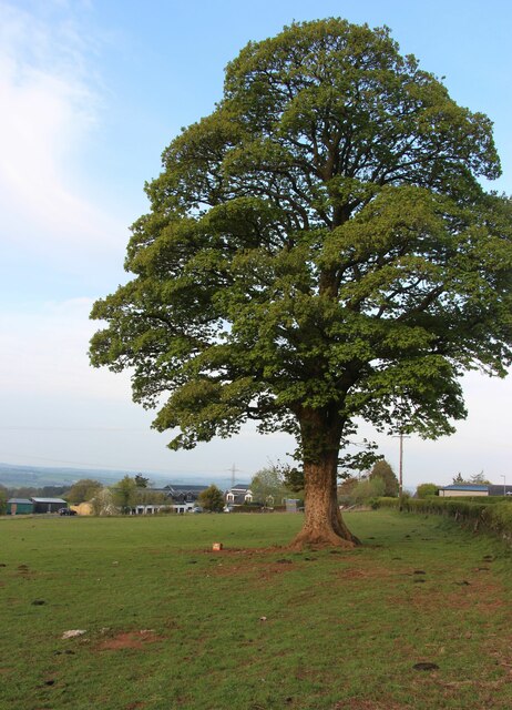
Gilfoot Images
Images are sourced within 2km of 55.605002/-4.3432561 or Grid Reference NS5237. Thanks to Geograph Open Source API. All images are credited.
Gilfoot is located at Grid Ref: NS5237 (Lat: 55.605002, Lng: -4.3432561)
Unitary Authority: East Ayrshire
Police Authority: Ayrshire
What 3 Words
///juggled.feasts.crashing. Near Newmilns, East Ayrshire
Nearby Locations
Related Wikis

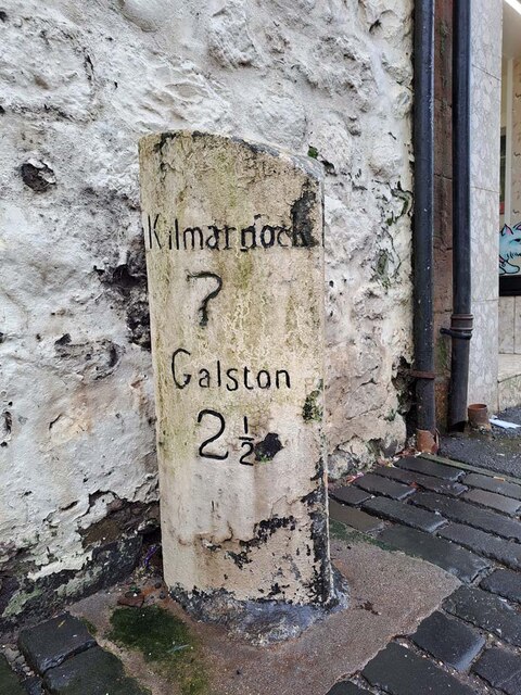
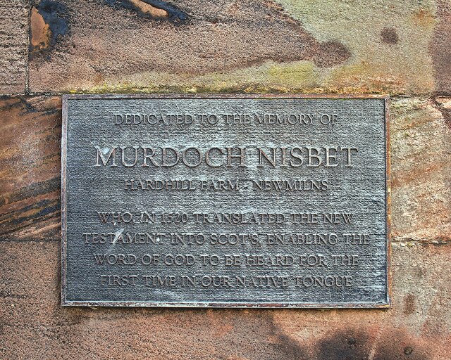
Newmilns
Newmilns is a village in the burgh of Newmilns and Greenholm, in East Ayrshire, Scotland. It has a population of 3,057 people (2001 census) and lies on...

Loudoun
Loudoun (Scottish Gaelic: Lughdan) is a parish in East Ayrshire, Scotland and lies between five and ten miles east of Kilmarnock. The parish roughly encompasses...

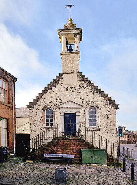
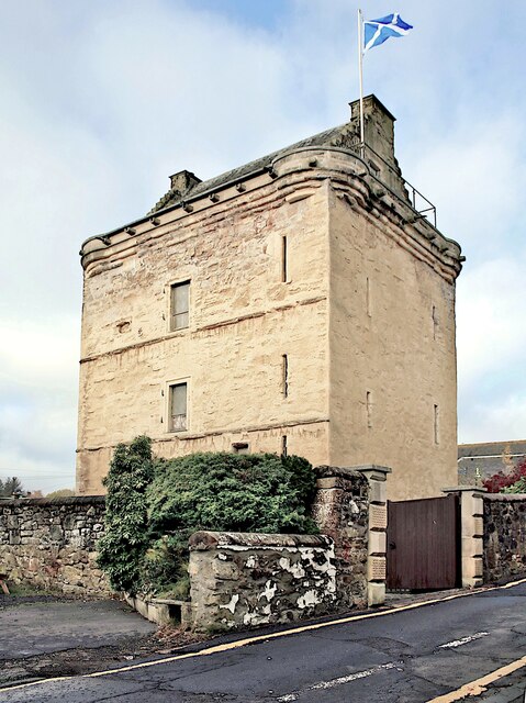
Newmilns Tower
Newmilns Tower is a 16th-century tower house, on Main Street, Newmilns, north of the River Irvine, East Ayrshire, Scotland. It may also be called Newmilns...

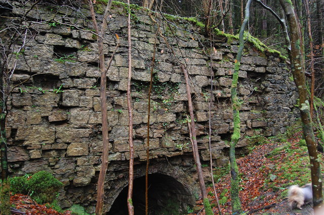
Castle and Lands of Auchruglen
The Castle and Lands of Auchruglen (NS5365436797) was a peel tower in the old district of Kyle held at different times by the Nesbitt and Campbell Clans...
Nearby Amenities
Located within 500m of 55.605002,-4.3432561Have you been to Gilfoot?
Leave your review of Gilfoot below (or comments, questions and feedback).