Woodhead Strip
Wood, Forest in Ayrshire
Scotland
Woodhead Strip
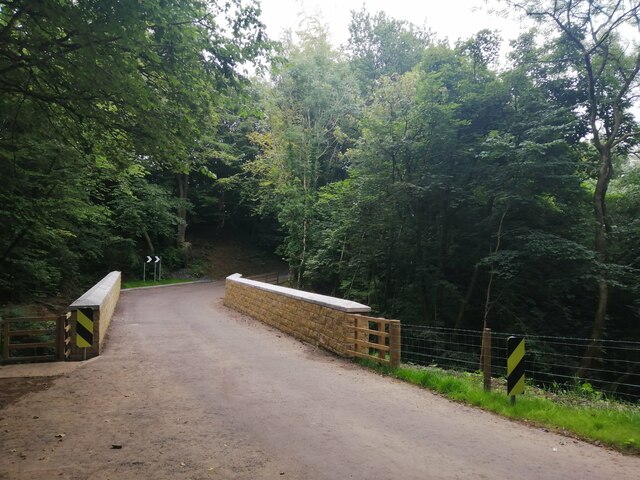
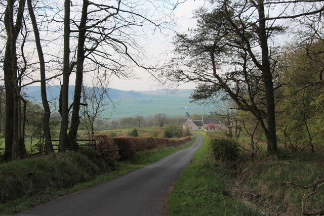
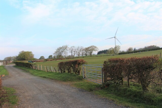
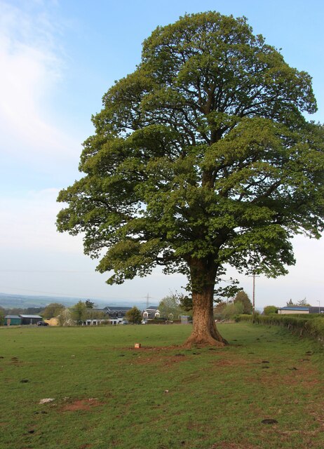
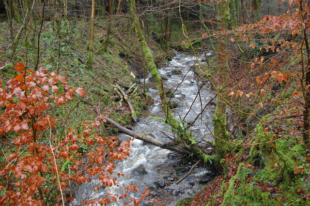
Woodhead Strip is a small but significant wooded area located in Ayrshire, Scotland. Covering an area of approximately 100 acres, it lies on the outskirts of the village of Woodhead, nestled between rolling hills and picturesque countryside. The strip is home to a diverse range of tree species, including oak, birch, and pine, creating a lush and vibrant forest ecosystem.
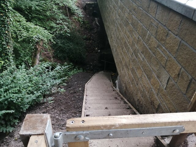
The woodland boasts a rich history, with records dating back centuries. It has long been an important resource for the local community, providing timber for construction, firewood, and other wood products. Over the years, the area has also served as a popular recreational spot, attracting nature enthusiasts, hikers, and picnickers.
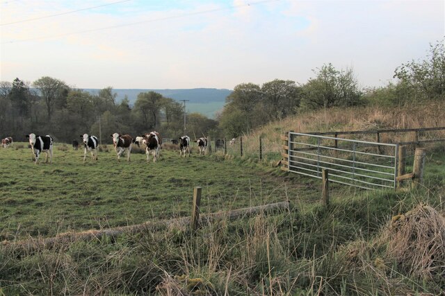
Woodhead Strip is teeming with wildlife, serving as a habitat for numerous species. Visitors can spot a variety of birds, such as woodpeckers, owls, and thrushes, as well as mammals like red squirrels, foxes, and deer. The forest floor is adorned with a carpet of wildflowers and ferns, creating a picturesque scene during the spring and summer months.
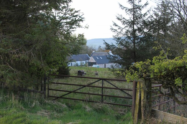
In recent years, efforts have been made to preserve and enhance the biodiversity of Woodhead Strip. Local conservation groups have implemented measures to protect the habitat and encourage the growth of native plant species. Additionally, interpretive signs and walking trails have been established, providing visitors with the opportunity to learn more about the woodland's unique flora and fauna.
Woodhead Strip is not only a natural treasure of Ayrshire but also an important part of the local heritage. Its beauty, ecological significance, and recreational opportunities make it a cherished destination for both locals and tourists alike.
If you have any feedback on the listing, please let us know in the comments section below.
Woodhead Strip Images
Images are sourced within 2km of 55.612279/-4.34531 or Grid Reference NS5237. Thanks to Geograph Open Source API. All images are credited.


Woodhead Strip is located at Grid Ref: NS5237 (Lat: 55.612279, Lng: -4.34531)
Unitary Authority: East Ayrshire
Police Authority: Ayrshire
What 3 Words
///sunset.grumbles.whisk. Near Newmilns, East Ayrshire
Nearby Locations
Related Wikis

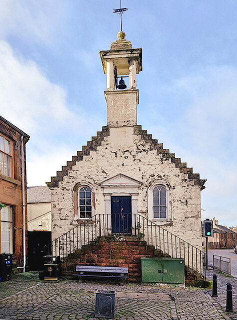
Newmilns
Newmilns is a village in the burgh of Newmilns and Greenholm, in East Ayrshire, Scotland. It has a population of 3,057 people (2001 census) and lies on...

Loudoun
Loudoun (Scottish Gaelic: Lughdan) is a parish in East Ayrshire, Scotland and lies between five and ten miles east of Kilmarnock. The parish roughly encompasses...

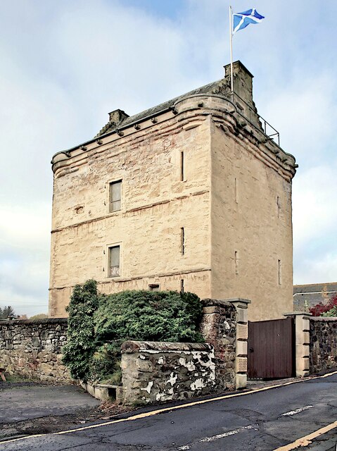
Newmilns Tower
Newmilns Tower is a 16th-century tower house, on Main Street, Newmilns, north of the River Irvine, East Ayrshire, Scotland. It may also be called Newmilns...

Twist n' Shout
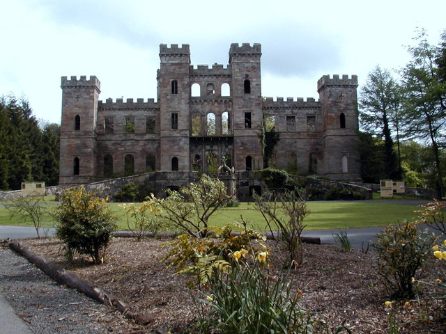
Twist n' Shout is a steel looping roller coaster located at Loudoun Castle Theme Park in Galston, south-west Scotland. It opened in 2003 as a part of the...
Nearby Amenities
Located within 500m of 55.612279,-4.34531Have you been to Woodhead Strip?
Leave your review of Woodhead Strip below (or comments, questions and feedback).