Gauber
Settlement in Yorkshire Craven
England
Gauber
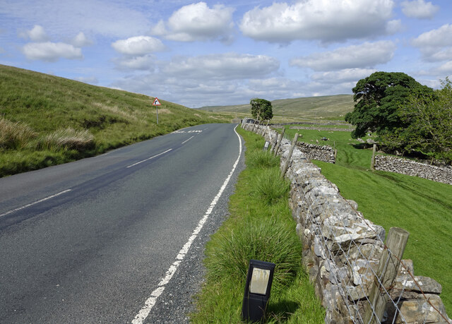
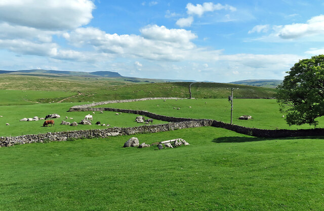
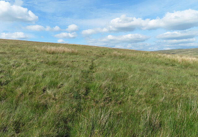
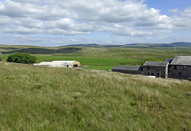
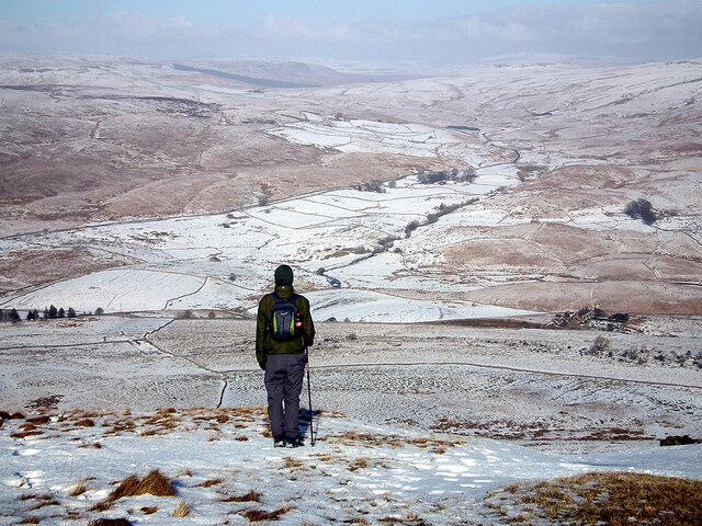
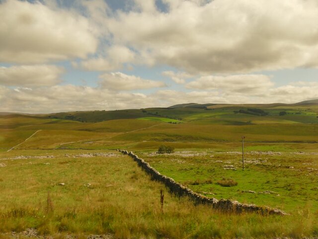
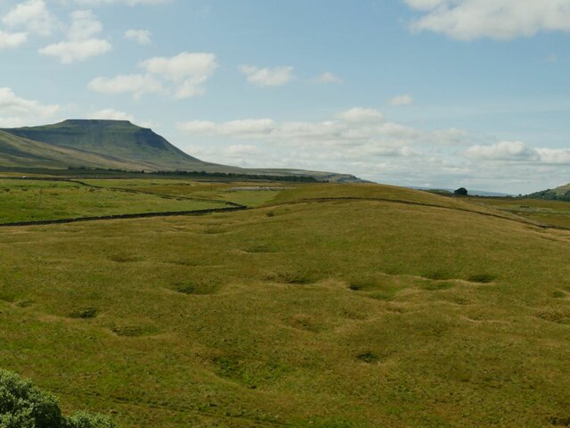
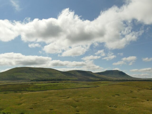
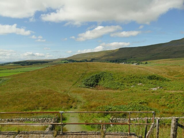
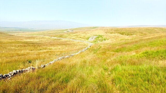
Gauber is a small hamlet located in the Yorkshire Dales National Park, in the northern region of England. Situated in the county of North Yorkshire, Gauber is surrounded by picturesque landscapes and is known for its natural beauty. The hamlet is nestled within a valley, surrounded by rolling hills, dense forests, and the stunning River Ribble, which flows nearby.
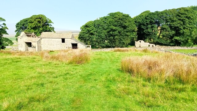
Gauber is a rural community with a small population, primarily made up of farmers and individuals seeking a serene countryside lifestyle. The hamlet consists of a few traditional stone houses and farm buildings, giving it a charming and rustic atmosphere. The traditional architecture, along with the unspoiled natural surroundings, attracts visitors who appreciate the simplicity and tranquility of rural life.
The area around Gauber offers numerous opportunities for outdoor enthusiasts. The Yorkshire Dales National Park provides ample hiking and walking trails, allowing visitors to explore the breathtaking landscapes, including the famous Three Peaks of Yorkshire. The River Ribble is also a popular spot for fishing and boating activities.
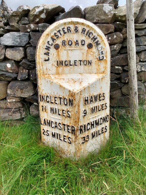
While Gauber itself does not have any shops or amenities, nearby towns such as Settle and Ingleton provide necessary services and amenities for residents and tourists. These towns offer a range of shops, cafes, restaurants, and accommodations.
In conclusion, Gauber is a peaceful hamlet situated in the heart of the Yorkshire Dales National Park. Its stunning natural surroundings and proximity to outdoor activities make it an ideal destination for those seeking a serene countryside experience.
If you have any feedback on the listing, please let us know in the comments section below.
Gauber Images
Images are sourced within 2km of 54.20386/-2.3507818 or Grid Reference SD7778. Thanks to Geograph Open Source API. All images are credited.
Gauber is located at Grid Ref: SD7778 (Lat: 54.20386, Lng: -2.3507818)
Division: West Riding
Administrative County: North Yorkshire
District: Craven
Police Authority: North Yorkshire
What 3 Words
///tram.micro.surreal. Near Ingleton, North Yorkshire
Nearby Locations
Related Wikis

Ribblehead Quarry
Ribblehead Quarry is a former limestone quarry next to Ribblehead railway station in the Yorkshire Dales National Park, North Yorkshire, England. It had...

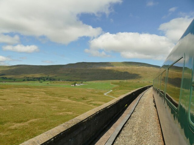
Ribblehead railway station
Ribblehead is a railway station on the Settle and Carlisle Line, which runs between Carlisle and Leeds via Settle. The station, situated 52 miles 17 chains...

Ribblehead
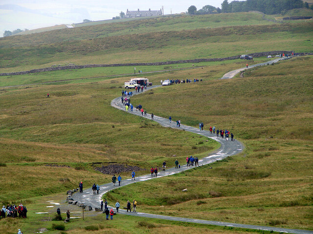
Ribblehead is the area of moorland at the head of the River Ribble in the area known as Ribblesdale, in the Yorkshire Dales National Park, England. Ribblehead...

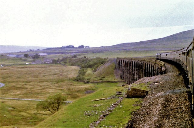
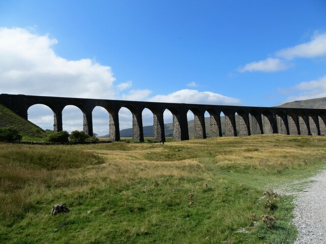
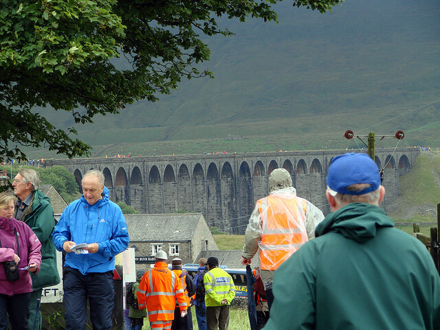
Ribblehead Viaduct
The Ribblehead Viaduct or Batty Moss Viaduct carries the Settle–Carlisle railway across Batty Moss in the Ribble Valley at Ribblehead, in North Yorkshire...

Ling Gill
Ling Gill is a gill (or narrow valley) in the Yorkshire Dales in North Yorkshire, England. Cam Beck, a tributary of the River Ribble, flows through the...
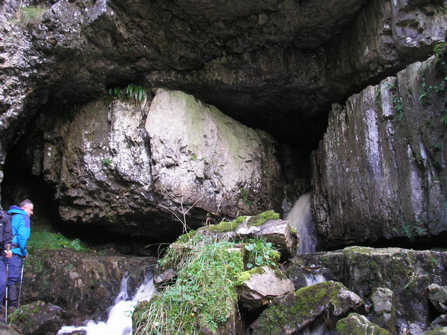
Great Douk Cave
Great Douk Cave is a shallow cave system lying beneath the limestone bench of Ingleborough in Chapel-le-Dale, North Yorkshire, England. It is popular with...

Alum Pot
Alum Pot is a pothole with a large open shaft at a surface elevation of 343 metres (1,125 ft) on the eastern flanks of Simon Fell, North Yorkshire, England...

Selside, North Yorkshire
Selside is a small village in Ribblesdale in North Yorkshire, England. It lies 2 miles (3 km) north west of Horton in Ribblesdale. Selside was mentioned...
Related Videos

Ribblehead Viaduct Easy Walking Guide | Yorkshire Dales National Park, English Countryside Walk
Our our latest Yorkshire Walking Guide we will show you how to complete the Ribblehead Viaduct circular route.

Hiking Whernside and Ribblehead Viaduct - Yorkshire Dales (4k)
After weeks of miserable weather we finally got a weekend with a reasonable forcast so I decided to head to Ribblehead viaduct ...

Hiking Whernside and Ribblehead Viaduct - Yorkshire Dales
On our recent road trip around the UK, Grant and I visited the Ribblehead Viaduct and couldn't resist returning to take in some of ...

Nearby Amenities
Located within 500m of 54.20386,-2.3507818Have you been to Gauber?
Leave your review of Gauber below (or comments, questions and feedback).