Gatwick
Settlement in Surrey Guildford
England
Gatwick
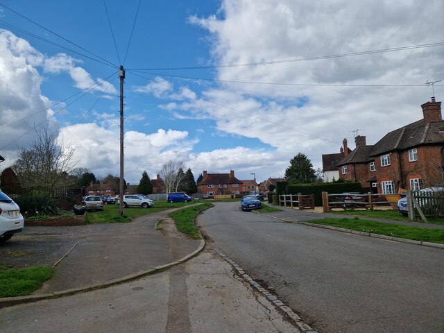
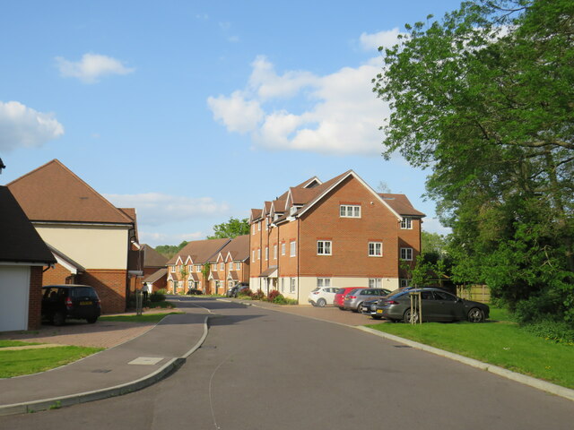
Gatwick is a small town located in the county of Surrey, England. Situated approximately 30 miles south of Central London, it is best known as the home of London Gatwick Airport, the second busiest airport in the United Kingdom. Despite its association with the airport, Gatwick itself is a relatively quiet town with a population of around 5,000 residents.
The town of Gatwick primarily serves as a transport hub, offering convenient access to London and other parts of the country. London Gatwick Airport provides both domestic and international flights, connecting passengers to destinations all over the world. The airport is equipped with a range of facilities, including shopping centers, restaurants, and hotels, catering to the needs of travelers.
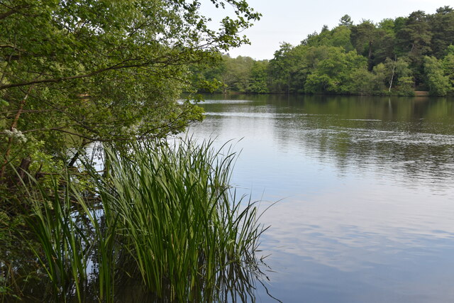
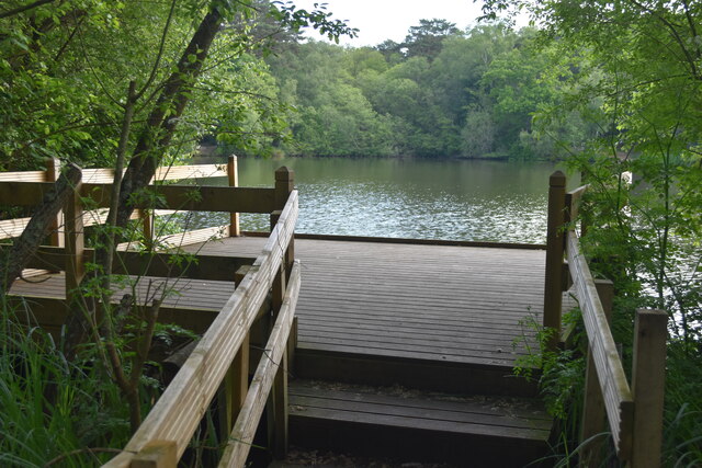
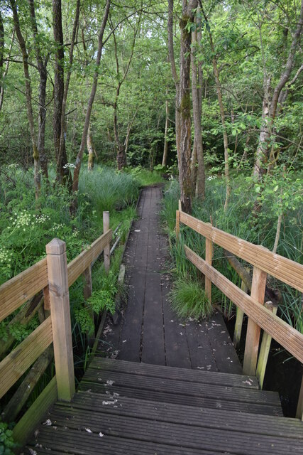
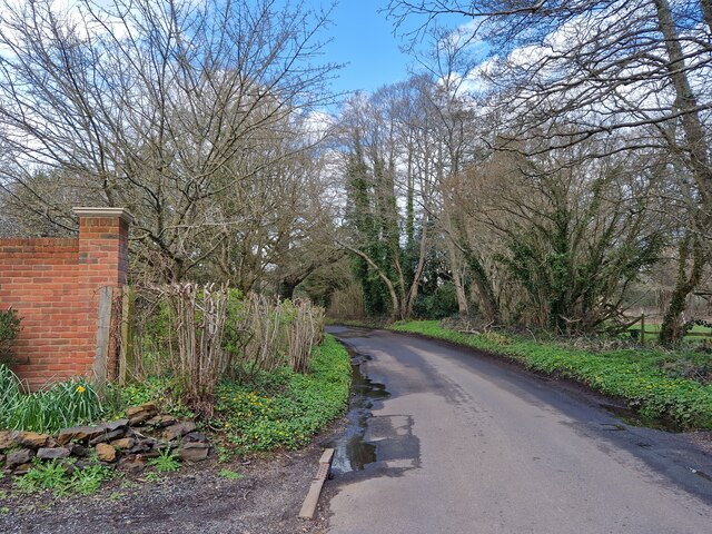
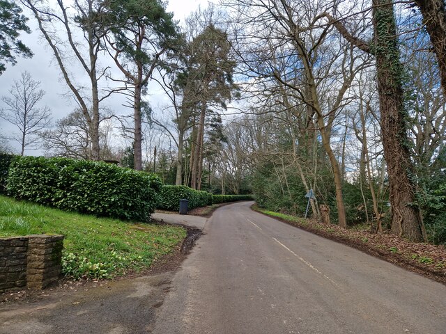
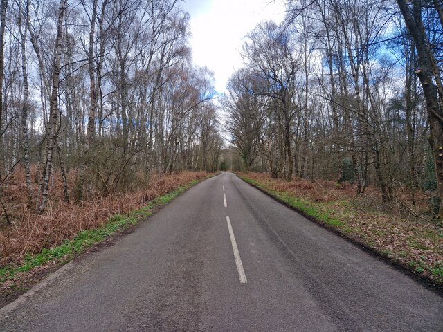
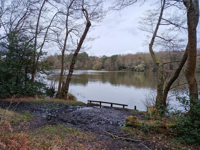
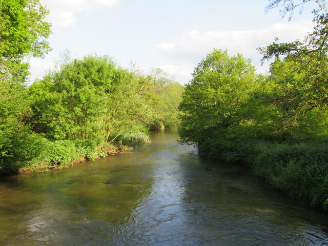
In addition to its transportation facilities, Gatwick is surrounded by picturesque countryside, making it an attractive destination for nature enthusiasts. The town is located near the Surrey Hills, an Area of Outstanding Natural Beauty, which offers opportunities for hiking, cycling, and exploring the scenic landscapes. There are also several parks and green spaces within Gatwick itself, providing residents and visitors with recreational areas to enjoy.
Gatwick offers a range of amenities, including shops, restaurants, and leisure facilities. The town has a small shopping center that caters to everyday needs, and there are also a few local pubs and restaurants offering a variety of cuisines. While Gatwick may not be as bustling as its neighboring cities, its proximity to London and its natural surroundings make it an appealing place to live or visit for those seeking a balance between urban convenience and rural tranquility.
If you have any feedback on the listing, please let us know in the comments section below.
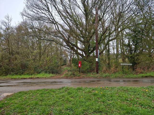
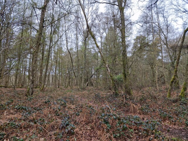
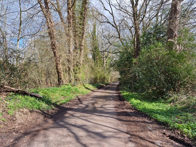
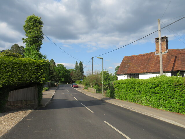
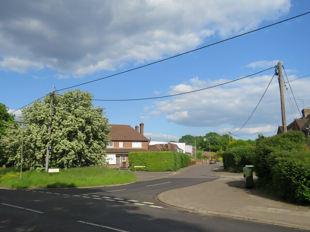
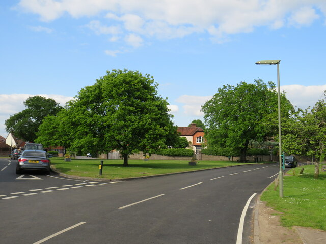
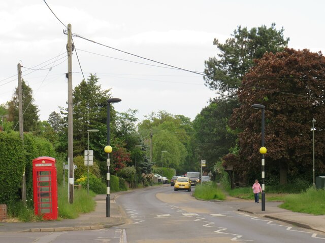
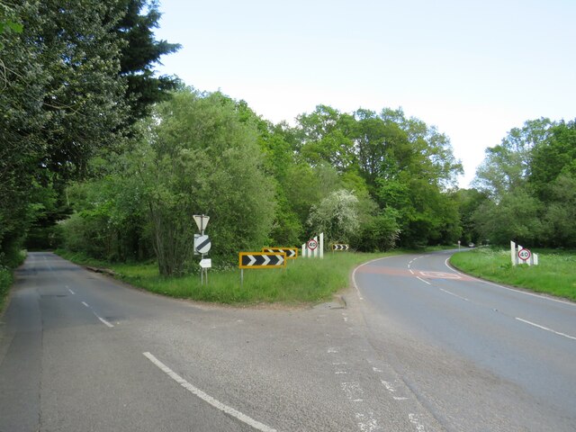
Gatwick Images
Images are sourced within 2km of 51.196866/-0.6942954 or Grid Reference SU9144. Thanks to Geograph Open Source API. All images are credited.
Gatwick is located at Grid Ref: SU9144 (Lat: 51.196866, Lng: -0.6942954)
Administrative County: Surrey
District: Guildford
Police Authority: Surrey
What 3 Words
///blues.clincher.cargo. Near Elstead, Surrey
Nearby Locations
Related Wikis

Puttenham and Crooksbury Commons
Puttenham and Crooksbury Commons is a 113.8-hectare (281-acre) biological Site of Special Scientific Interest between Farnham and Guildford in Surrey....

Elstead
Elstead is a civil parish in Surrey, England with shops, houses and cottages spanning the north and south sides of the River Wey; development is concentrated...

Peper Harow
Peper Harow is a rural village and civil parish in southwest Surrey close to the town of Godalming. It was a noted early cricket venue. Its easternmost...

Thundry Meadows
Thundry Meadows is a 16-hectare (40-acre) nature reserve in Elstead in Surrey. It is managed by the Surrey Wildlife Trust. Part of it is Charleshill Site...

Charleshill SSSI
Charleshill SSSI is a 10.1-hectare (25-acre) biological Site of Special Scientific Interest west of Elstead in Surrey. It is part of Thundry Meadows nature...

Oxenford Farm
Oxenford Farm is a former abbey farm, a dependency of Waverley Abbey in the civil parish of Witley, Surrey, England, with several listed buildings around...

Hankley Farm
Hankley Farm is a 2.4-hectare (5.9-acre) biological Site of Special Scientific Interest (SSSI) west of Elstead in Surrey.This sandy arable field has been...

Shackleford
Shackleford is a village and civil parish in the Borough of Guildford, Surrey, England centred to the west of the A3 between Guildford and Petersfield...
Nearby Amenities
Located within 500m of 51.196866,-0.6942954Have you been to Gatwick?
Leave your review of Gatwick below (or comments, questions and feedback).