Sugarbaker Hill
Hill, Mountain in Surrey Guildford
England
Sugarbaker Hill
Sugarbaker Hill is a prominent hill located in the county of Surrey, England. Situated in the southern region of the county, it forms part of the beautiful Surrey Hills Area of Outstanding Natural Beauty. The hill stands at an elevation of approximately 250 meters (820 feet) above sea level, offering breathtaking views of the surrounding countryside.
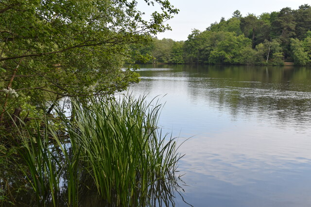
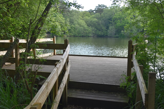
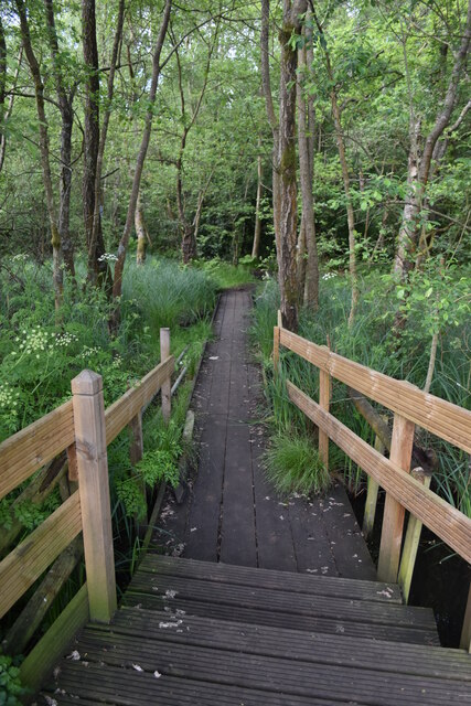
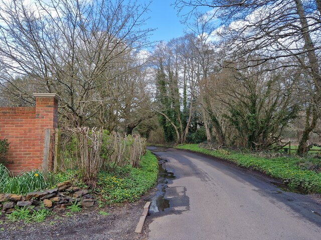
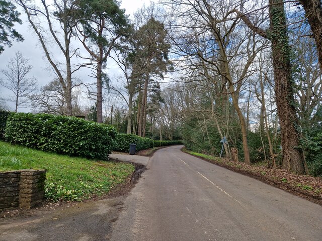
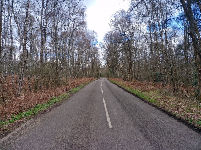
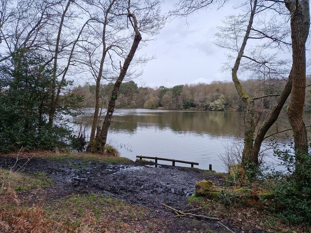
Sugarbaker Hill is characterized by its gentle slopes and lush greenery, making it a popular destination for hikers, nature enthusiasts, and photographers. The hill is covered in a mix of woodland and open grassland, providing a diverse habitat for various plant and animal species. Visitors can expect to encounter a wide range of flora and fauna while exploring the area.
The hill is also renowned for its historical significance, with traces of human activity dating back thousands of years. Archaeological excavations have revealed the presence of ancient settlements and burial mounds, indicating that the hill has been inhabited since prehistoric times.
For outdoor enthusiasts, Sugarbaker Hill offers numerous walking trails and paths, allowing visitors to explore the natural beauty of the area at their own pace. The hill is also a popular spot for paragliding and hang gliding, attracting thrill-seekers from all over the county.
Overall, Sugarbaker Hill is a picturesque location that showcases the stunning natural landscape and rich history of Surrey. Whether for a leisurely stroll or an adrenaline-fueled adventure, this hill offers something for everyone to enjoy.
If you have any feedback on the listing, please let us know in the comments section below.
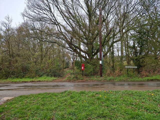
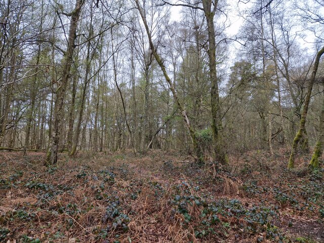
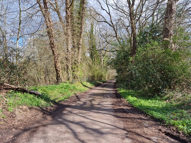
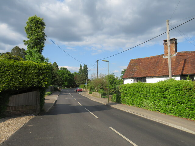
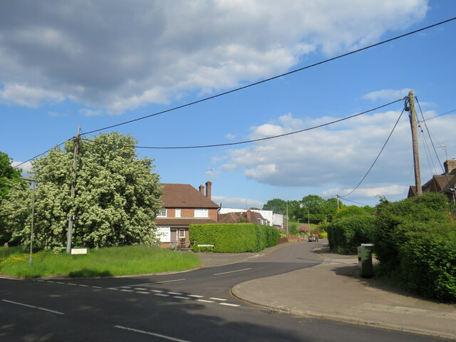
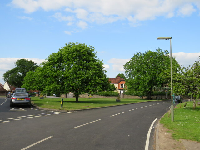
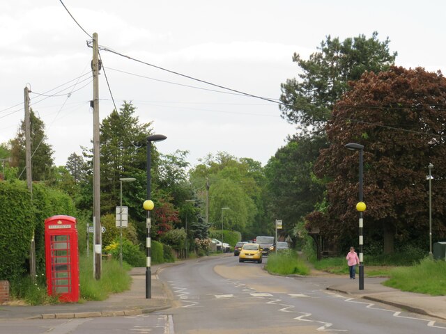
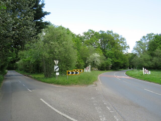
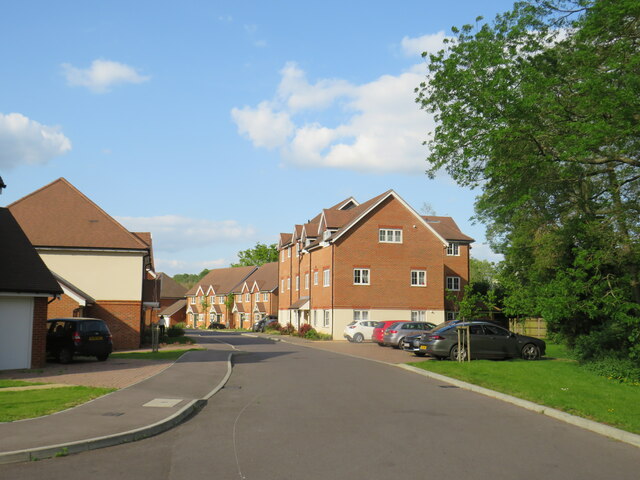
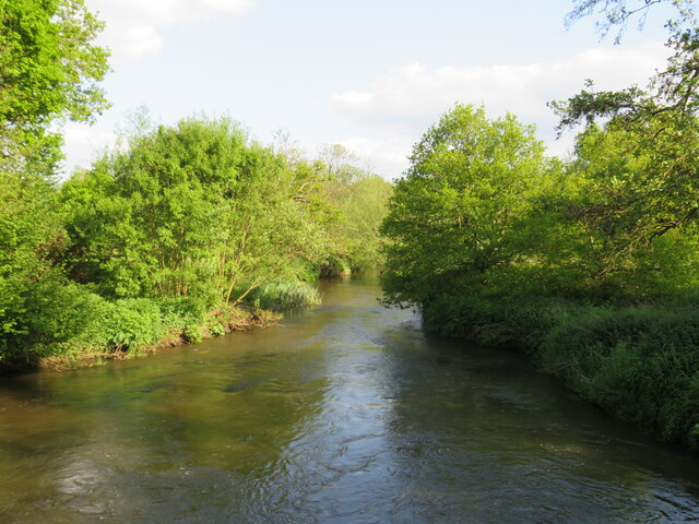
Sugarbaker Hill Images
Images are sourced within 2km of 51.19372/-0.6880158 or Grid Reference SU9144. Thanks to Geograph Open Source API. All images are credited.
Sugarbaker Hill is located at Grid Ref: SU9144 (Lat: 51.19372, Lng: -0.6880158)
Administrative County: Surrey
District: Guildford
Police Authority: Surrey
What 3 Words
///creeps.purifier.shippers. Near Elstead, Surrey
Nearby Locations
Related Wikis

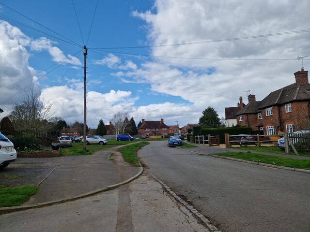
Elstead
Elstead is a civil parish in Surrey, England with shops, houses and cottages spanning the north and south sides of the River Wey; development is concentrated...

Peper Harow
Peper Harow is a rural village and civil parish in southwest Surrey close to the town of Godalming. It was a noted early cricket venue. Its easternmost...

Puttenham and Crooksbury Commons
Puttenham and Crooksbury Commons is a 113.8-hectare (281-acre) biological Site of Special Scientific Interest between Farnham and Guildford in Surrey....

Oxenford Farm
Oxenford Farm is a former abbey farm, a dependency of Waverley Abbey in the civil parish of Witley, Surrey, England, with several listed buildings around...

Thundry Meadows
Thundry Meadows is a 16-hectare (40-acre) nature reserve in Elstead in Surrey. It is managed by the Surrey Wildlife Trust. Part of it is Charleshill Site...

Charleshill SSSI
Charleshill SSSI is a 10.1-hectare (25-acre) biological Site of Special Scientific Interest west of Elstead in Surrey. It is part of Thundry Meadows nature...

Shackleford
Shackleford is a village and civil parish in the Borough of Guildford, Surrey, England centred to the west of the A3 between Guildford and Petersfield...

Elstead Group of Commons
Elstead Group of Commons is a 180-hectare (440-acre) nature reserve east of Elstead in Surrey. It is composed of Royal, Elstead and Ockley Commons, which...
Nearby Amenities
Located within 500m of 51.19372,-0.6880158Have you been to Sugarbaker Hill?
Leave your review of Sugarbaker Hill below (or comments, questions and feedback).