Furze Green
Settlement in Norfolk South Norfolk
England
Furze Green
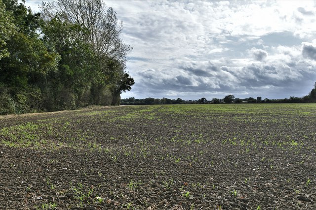
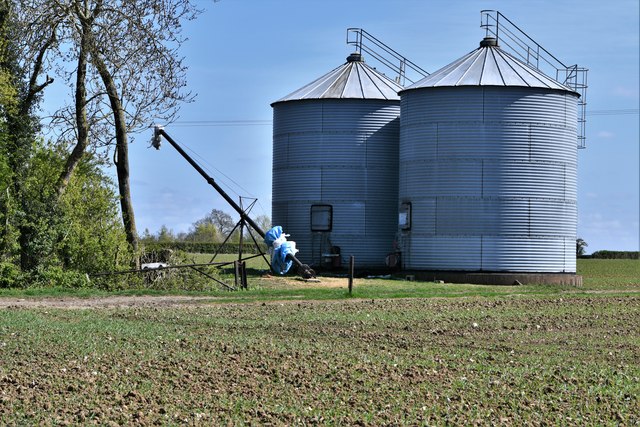
Furze Green is a small village located in Norfolk, England. It is known for its picturesque countryside surroundings and quaint charm. The village is surrounded by lush green fields and rolling hills, making it an ideal destination for those looking to escape the hustle and bustle of city life.
Furze Green is home to a close-knit community of residents who take pride in their village and work together to maintain its beauty and character. The village has a number of historic buildings, including a church that dates back to the 12th century, adding to its traditional English charm.
In terms of amenities, Furze Green has a village hall where community events and gatherings take place, as well as a small number of shops and cafes for residents and visitors to enjoy. The village is also well-connected to nearby towns and cities, making it easy to access larger facilities and services.
Overall, Furze Green is a peaceful and idyllic village that offers a tranquil setting for those looking to enjoy the beauty of the Norfolk countryside.
If you have any feedback on the listing, please let us know in the comments section below.
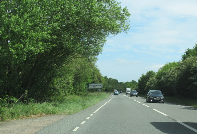
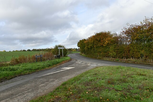
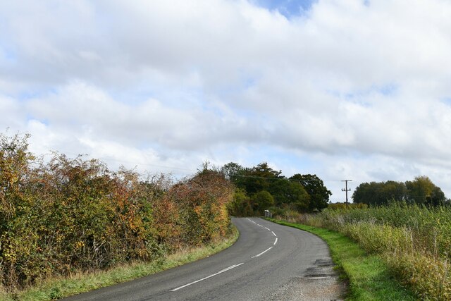
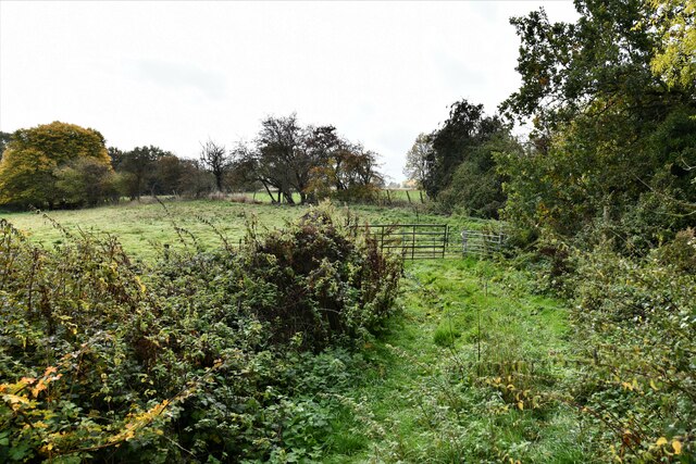
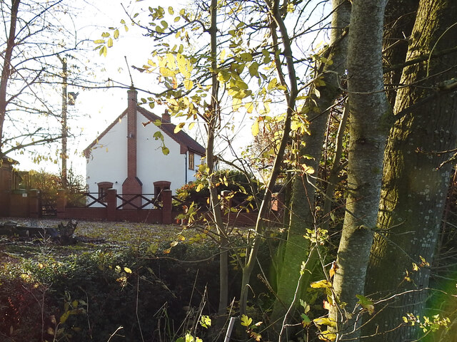
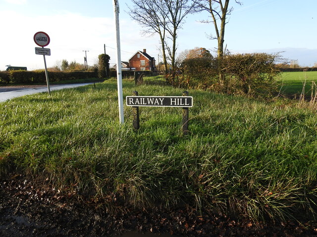
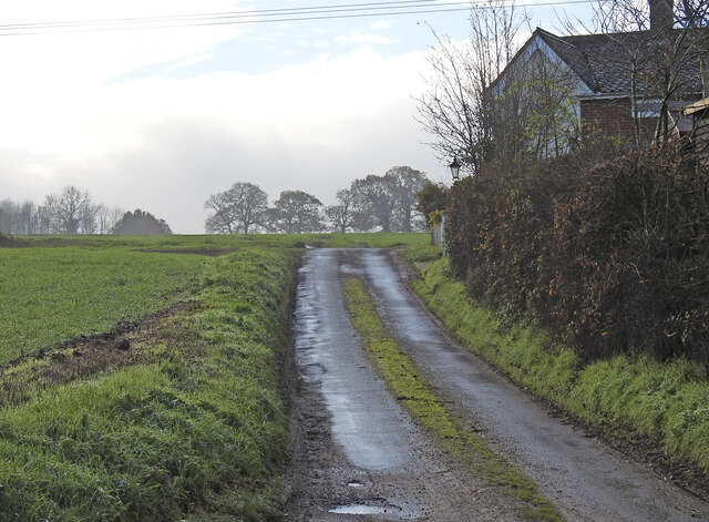
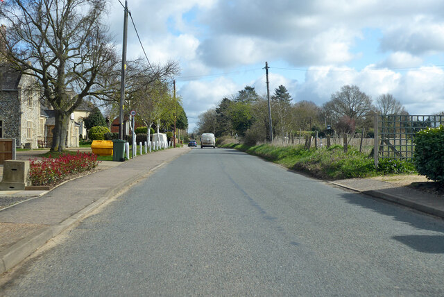
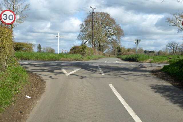
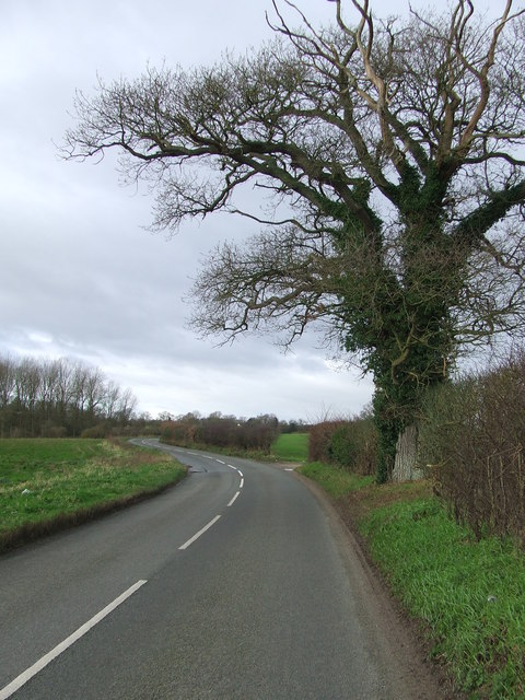
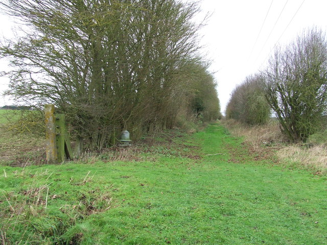
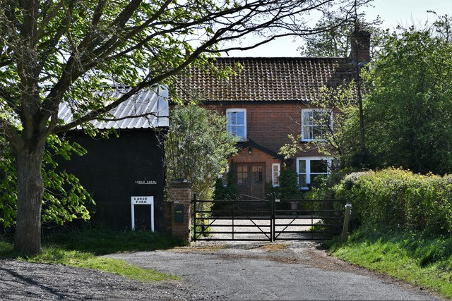
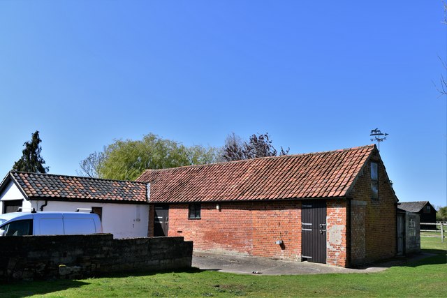
Furze Green Images
Images are sourced within 2km of 52.399902/1.2541908 or Grid Reference TM2182. Thanks to Geograph Open Source API. All images are credited.
Furze Green is located at Grid Ref: TM2182 (Lat: 52.399902, Lng: 1.2541908)
Administrative County: Norfolk
District: South Norfolk
Police Authority: Norfolk
What 3 Words
///avoiding.mandates.represent. Near Harleston, Norfolk
Nearby Locations
Related Wikis
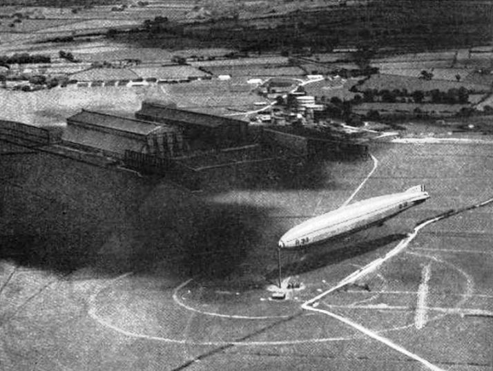
RNAS Pulham
RNAS Pulham (later RAF Pulham) was a Royal Navy Air Service (RNAS) airship station, near Pulham St Mary 18 mi (29 km) south of Norwich, UK. Though land...

Needham, Norfolk
Needham is a small village in Norfolk, England. It covers an area of 4.69 km2 (1.81 sq mi) and had a population of 310 in 129 households at the 2001 census...

Pulham St Mary railway station
Pulham St Mary was a station in Pulham St Mary, Norfolk on the Waveney Valley Line which is now closed. The station has been demolished. == References... ==

Starston railway station
Starston was a railway station on the Waveney Valley Line in Norfolk, England. It was open for just ten years before low traffic usage caused its closure...
Nearby Amenities
Located within 500m of 52.399902,1.2541908Have you been to Furze Green?
Leave your review of Furze Green below (or comments, questions and feedback).