Furzehill

Settlement in Devon North Devon

England

Furzehill

Brendon: Shilston Hill from Cheriton Shilstone Hill carries the road south from Lynmouth to Simonsbath
Brendon: Shilston Hill from Cheriton Credit: Martin Bodman

Furzehill is a small village located in Devon, England. It is situated near the town of Axminster and is surrounded by picturesque countryside, making it a popular destination for those seeking a peaceful and tranquil retreat.

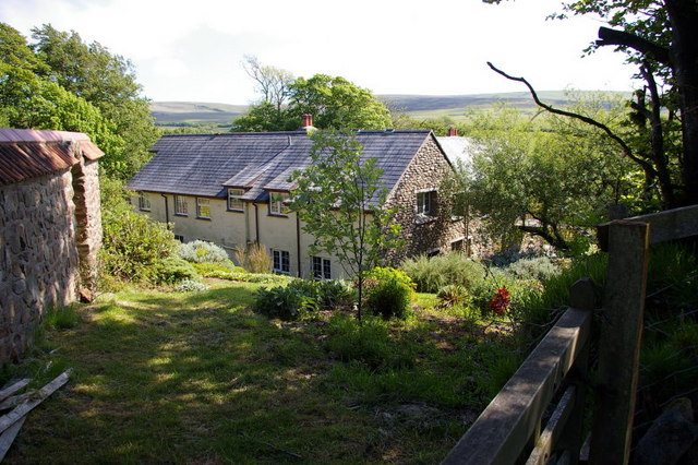
The village is characterized by its charming thatched cottages, quaint shops, and traditional pubs. The local community is close-knit and welcoming, creating a warm and friendly atmosphere for residents and visitors alike.

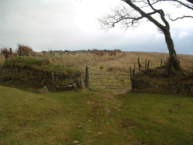
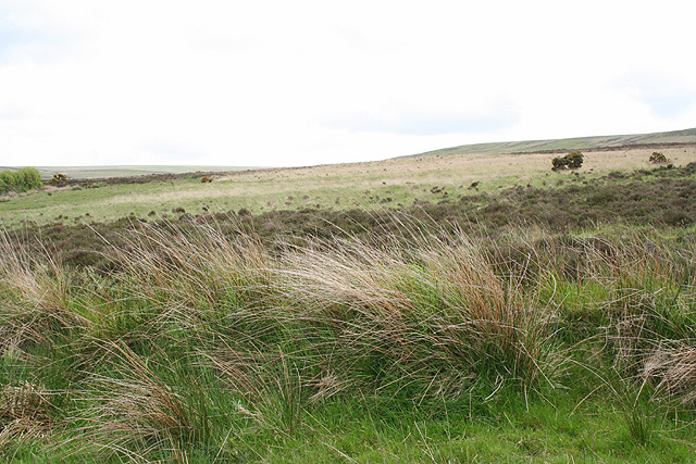
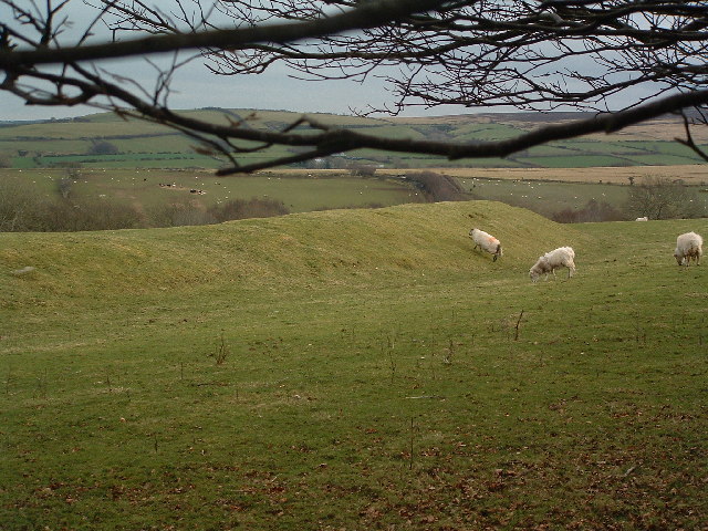
Furzehill is also known for its beautiful natural surroundings, with rolling hills, lush green fields, and meandering streams providing a stunning backdrop for outdoor activities such as hiking, cycling, and picnicking. The village is a haven for nature lovers, with an abundance of wildlife and birdwatching opportunities to be found in the surrounding area.

In terms of amenities, Furzehill boasts a village hall, a primary school, and a church, providing essential services for residents. The village is well-connected by road, with easy access to nearby towns and cities such as Exeter and Plymouth.

Overall, Furzehill is a charming and idyllic village that offers a peaceful and relaxing escape from the hustle and bustle of modern life.

If you have any feedback on the listing, please let us know in the comments section below.

Furzehill Images

Images are sourced within 2km of 51.190803/-3.8254408 or Grid Reference SS7245. Thanks to Geograph Open Source API. All images are credited.

Brendon: Shilston Hill from Cheriton Shilstone Hill carries the road south from Lynmouth to Simonsbath
Brendon: Shilston Hill from Cheriton
Shilstone Hill carries the road south from Lynmouth to Simonsbath
Roborough Castle Sheep now invade this bronze age enclosure.
Roborough Castle
Sheep now invade this bronze age enclosure.
Saddle Gate and Saddle Stone This picture was taken from the North looking up along the bridlepath towards Woodbarrow Gate. I think the stone on the left is the Saddle Stone, the boundary stone that this gate is named after.
Saddle Gate and Saddle Stone
This picture was taken from the North looking up along the bridlepath towards Woodbarrow Gate. I think the stone on the left is the Saddle Stone, the boundary stone that this gate is named after.
Lynton & Lynmouth: Durcombe Water A private garden which is open to the public for three Sunday afternoons in 2006 under the National Garden Scheme, and otherwise by appointment. It features waterfalls and eight tiered ponds. The Durcombe Water is a tributary of the West Lyn River and the garden borders Exmoor’s open moorland. Looking east-north-east
Lynton & Lynmouth: Durcombe Water
A private garden which is open to the public for three Sunday afternoons in 2006 under the National Garden Scheme, and otherwise by appointment. It features waterfalls and eight tiered ponds. The Durcombe Water is a tributary of the West Lyn River and the garden borders Exmoor’s open moorland. Looking east-north-east
Lynton & Lynmouth: North Furzehill On the bridleway to Shallowford. Looking east
Lynton & Lynmouth: North Furzehill
On the bridleway to Shallowford. Looking east
Lynton & Lynmouth: North Furzehill Restored overshot waterwheel which carries the legend ‘Garnish & Lemon Barnstaple’ – a firm of millwrights operating from Pilton in the late 19th century – on the shrouds. Seen from the bridleway from Shallowford. Looking north east
Lynton & Lynmouth: North Furzehill
Restored overshot waterwheel which carries the legend ‘Garnish & Lemon Barnstaple’ – a firm of millwrights operating from Pilton in the late 19th century – on the shrouds. Seen from the bridleway from Shallowford. Looking north east
Lynton & Lynmouth: by the bridleway to Shallowford Looking south-south-east below Ilkerton Ridge
Lynton & Lynmouth: by the bridleway to Shallowford
Looking south-south-east below Ilkerton Ridge
Lynton & Lynmouth: bridleway to Cheriton Looking east-south-east by the lane to North Furzehill
Lynton & Lynmouth: bridleway to Cheriton
Looking east-south-east by the lane to North Furzehill
Lynton & Lynmouth: West Lyn valley Looking west-north-west towards Manor Farm, East Ilkerton. Seen from a point on the lane north of Sparhanger Cross
Lynton & Lynmouth: West Lyn valley
Looking west-north-west towards Manor Farm, East Ilkerton. Seen from a point on the lane north of Sparhanger Cross
Bridge over Barbrook on Exmoor
Cheriton Ridge Exmoor National Park, on the Tarka Trail - Two Moors Way. Looking towards the Exe Plain.
Cheriton Ridge
Exmoor National Park, on the Tarka Trail - Two Moors Way. Looking towards the Exe Plain.
Shallowford The hedgeline, left, is Exmoor boundary.
Shallowford
The hedgeline, left, is Exmoor boundary.
Barbrook Bridge This is a reverse angle view of Rachel Hunt's picture.
Barbrook Bridge
This is a reverse angle view of Rachel Hunt's picture.
Road to Thornworthy Signpost reads:
Right:
Public Bridleway
Martinhoe Cross A39
Via Thornworthy &
Woolhanger 2¼

Left:
Sparhanger
Cross
Road to Thornworthy
Signpost reads: Right: Public Bridleway Martinhoe Cross A39 Via Thornworthy & Woolhanger 2¼ Left: Sparhanger Cross
Thornworthy From the path to High Bullen.
Thornworthy
From the path to High Bullen.
Dilapidated Field Boundaries, Hoaroak One of a number of crumbling hedge/walls around Hoaroak. Cheriton Ridge in the middle distance with the Hoaroak water running hidden in the valley beyond the green field.
Dilapidated Field Boundaries, Hoaroak
One of a number of crumbling hedge/walls around Hoaroak. Cheriton Ridge in the middle distance with the Hoaroak water running hidden in the valley beyond the green field.
Benjamy The hillside beyond the thin hedge in the middle distance bears the name Benjamy. There are supposedly some standing stones here abouts, maybe a little to the West of our position, but we couldn't find them to liven up the photo.
Benjamy
The hillside beyond the thin hedge in the middle distance bears the name Benjamy. There are supposedly some standing stones here abouts, maybe a little to the West of our position, but we couldn't find them to liven up the photo.
Furzehill Common The OS map refers to a "Stone Setting" here. The only feature on the ground is this small puddle, which I assume was the hole that the stone was set in?
Furzehill Common
The OS map refers to a "Stone Setting" here. The only feature on the ground is this small puddle, which I assume was the hole that the stone was set in?
Show me another place!

Furzehill is located at Grid Ref: SS7245 (Lat: 51.190803, Lng: -3.8254408)

Administrative County: Devon

District: North Devon

Police Authority: Devon and Cornwall

What 3 Words

///went.justifies.shortage. Near Lynton, Devon

Nearby Locations

Furzehill Stock Common

Related Wikis

Roborough Castle

Roborough Castle is an Iron Age enclosure or hill fort situated close to Lynton in Devon, England. The fort is situated on the North East edge of a Hillside...
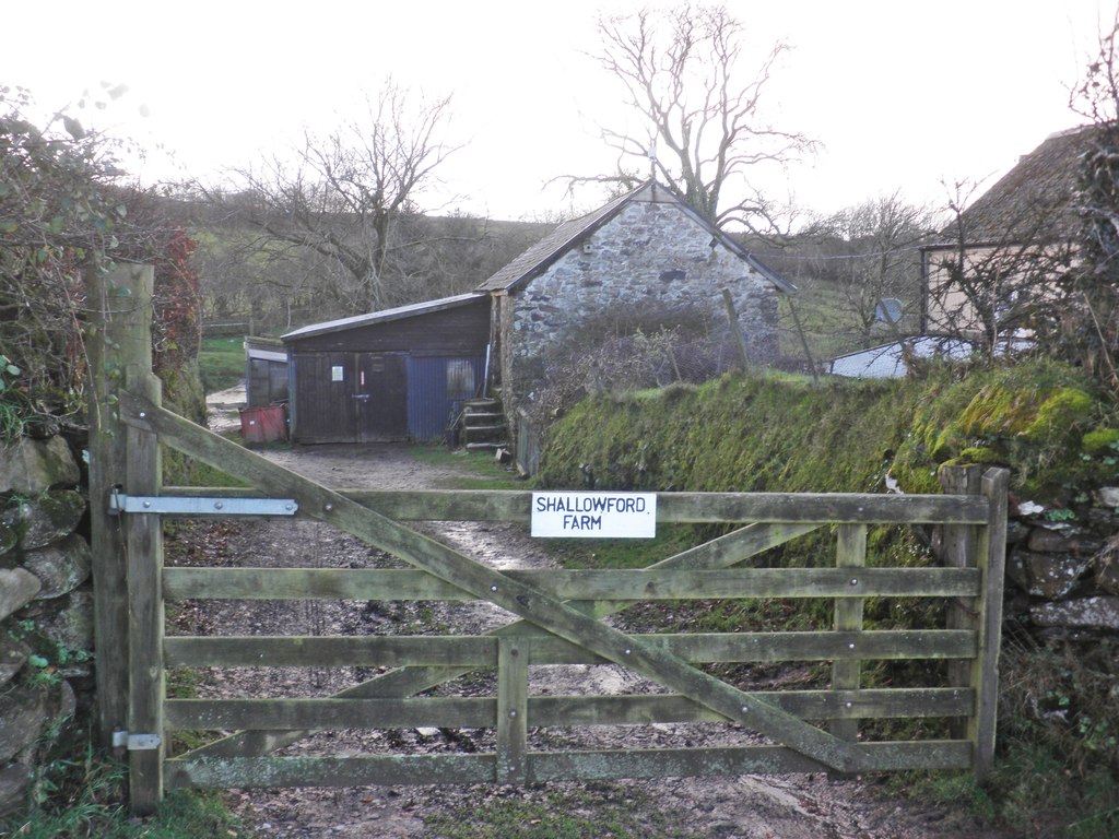
Shallowford, Devon

Shallowford is a hamlet in the civil parish of Lynton and Lynmouth in the North Devon district of Devon, England. Its nearest town is Lynton, which lies...

Furzehill, Devon

Furzehill is a hamlet in the North Devon district of Devon, England. Its nearest town is Lynton, which lies approximately 4 miles (6.4 km) north from the...
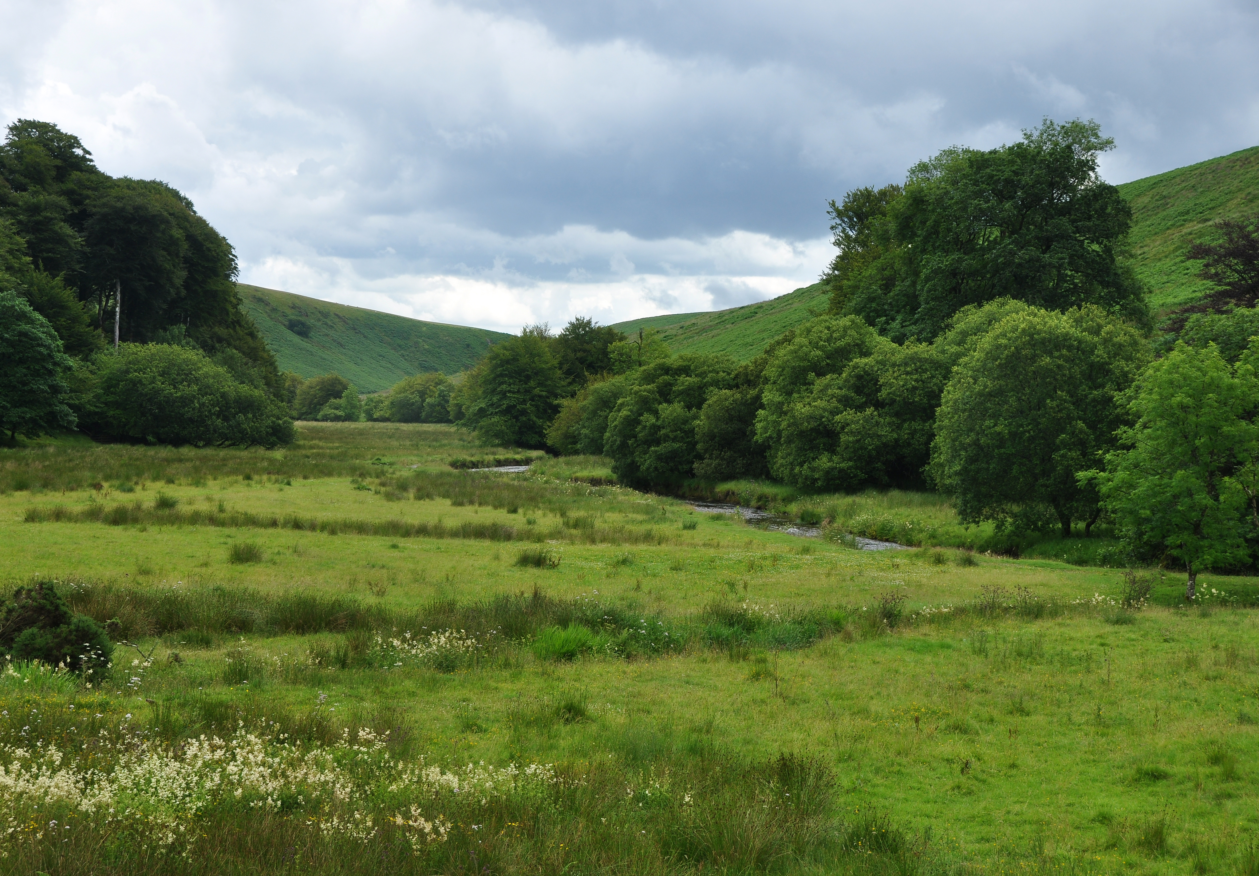
Barle Valley

Barle Valley is a 1,540 acres (620 ha) Site of Special Scientific Interest within Exmoor National Park, situated in the counties of Devon and Somerset...

Nearby Amenities

Located within 500m of 51.190803,-3.8254408
The data included in this document is from www.openstreetmap.org. The data is made available under ODbL.

Have you been to Furzehill?

Leave your review of Furzehill below (or comments, questions and feedback).