Foulden Newton

Settlement in Berwickshire

Scotland

Foulden Newton

Foulden Tithe Barn It actually seems to be a bit of a guess that this is a tithe barn, but it's right by a church so the current thinking is that's what it was. An Historic Scotland property
Foulden Tithe Barn Credit: Kirsty Smith

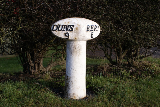
Foulden Newton is a small village located in the county of Berwickshire, Scotland. Situated in the southeastern part of the country, it lies approximately 6 miles southwest of the town of Berwick-upon-Tweed.

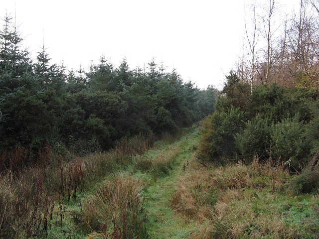
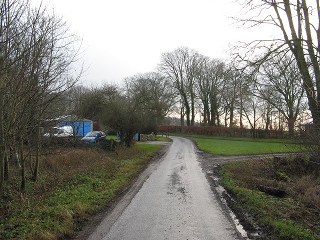
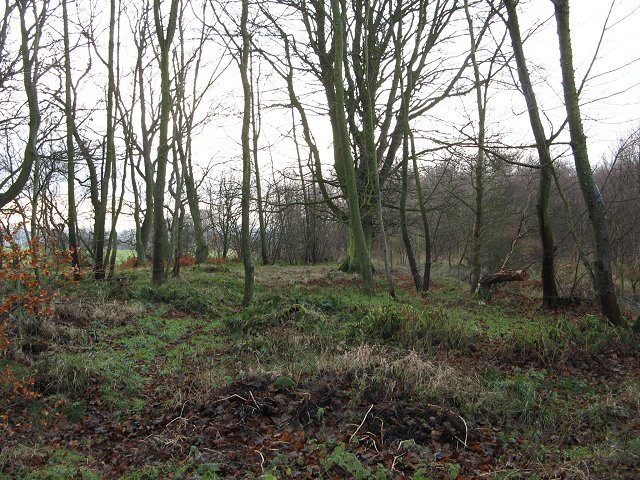
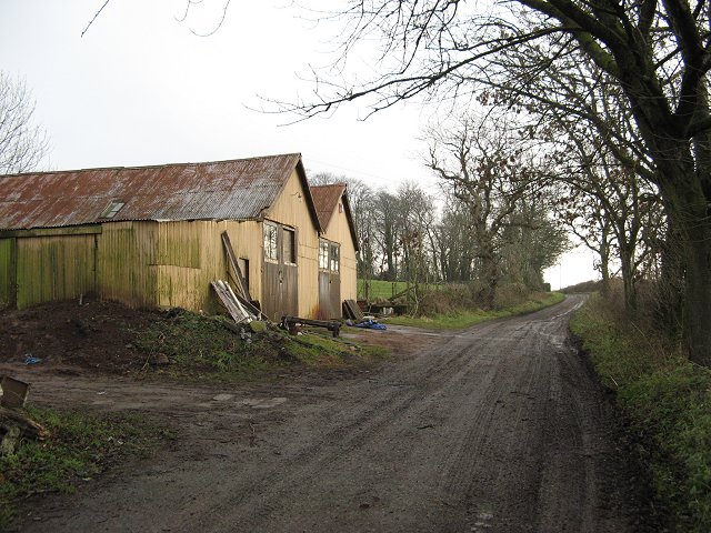
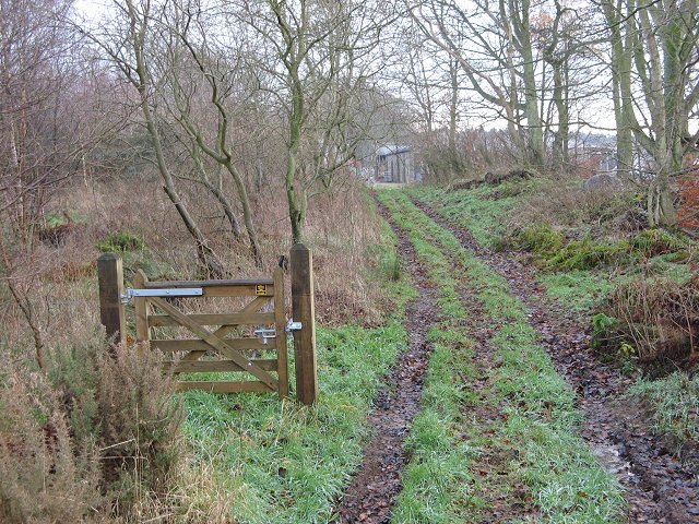
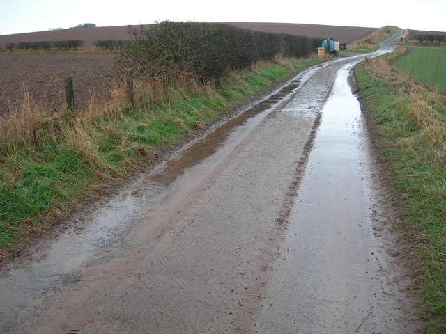
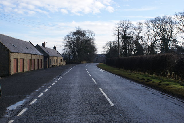
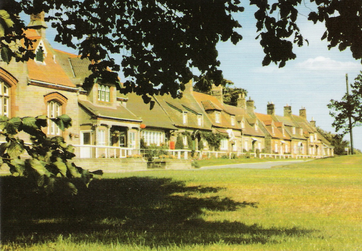
The village of Foulden Newton is known for its picturesque rural setting, surrounded by beautiful rolling hills and farmland. The area is predominantly agricultural, with farming being a significant part of the local economy. The fertile soil and favorable climate make it ideal for cultivating crops and rearing livestock.

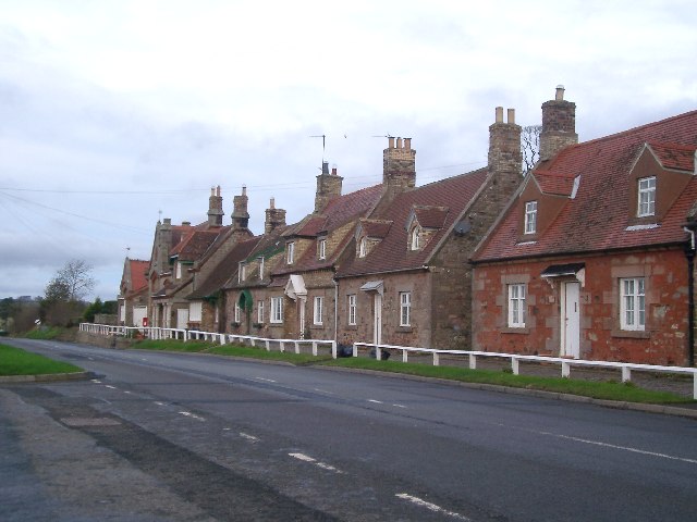
The village itself is home to a close-knit community, with a small population of around 200 residents. The village has a charming, quaint feel, with traditional stone houses and well-maintained gardens. Its peaceful atmosphere and stunning natural surroundings make it an attractive place for those seeking a tranquil and idyllic lifestyle.

Despite its small size, Foulden Newton offers a range of amenities to its residents. These include a primary school, a village hall, and a local pub. Nearby, the town of Berwick-upon-Tweed provides additional services and facilities, including shops, restaurants, and healthcare facilities.

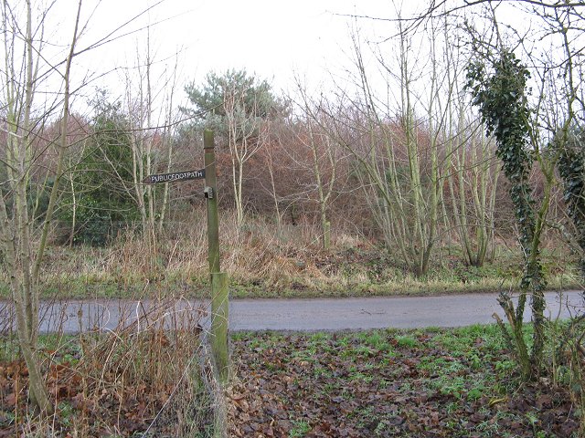
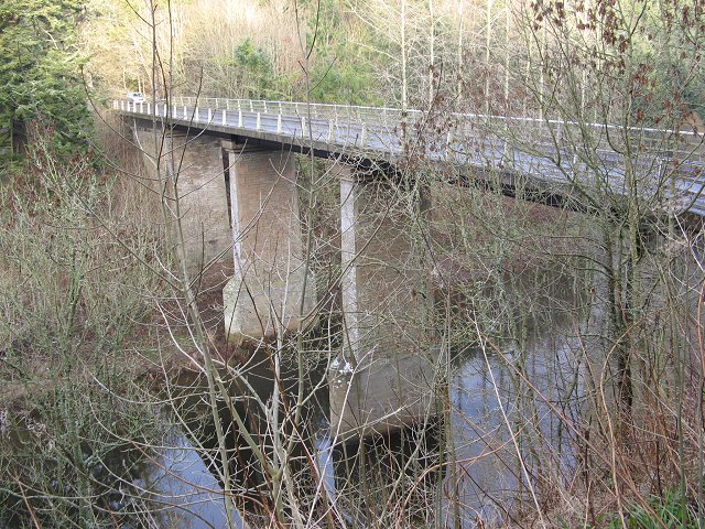
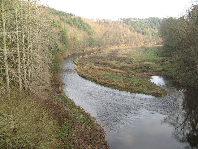
Foulden Newton also benefits from its proximity to various attractions and landmarks. The Berwickshire coast, with its sandy beaches and rugged cliffs, is just a short drive away, offering opportunities for outdoor activities such as walking, birdwatching, and fishing. Additionally, the nearby River Tweed provides excellent fishing spots for anglers.

In summary, Foulden Newton is a charming village in Berwickshire, Scotland, known for its rural beauty, close-knit community, and agricultural heritage. It offers a peaceful and picturesque setting for residents and visitors alike.

If you have any feedback on the listing, please let us know in the comments section below.

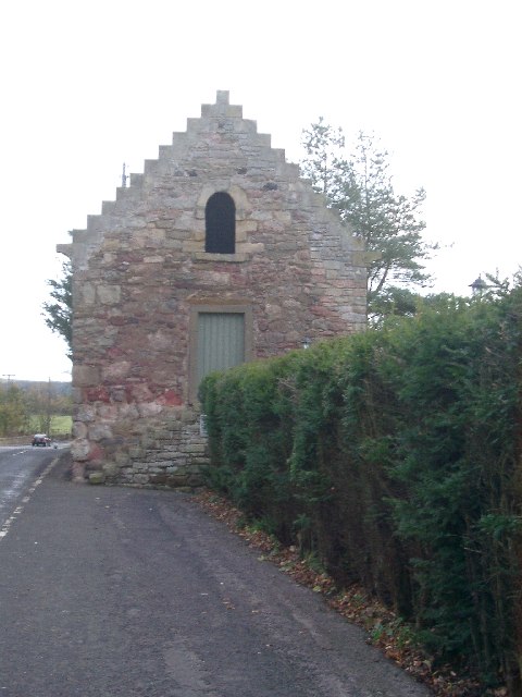
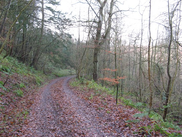
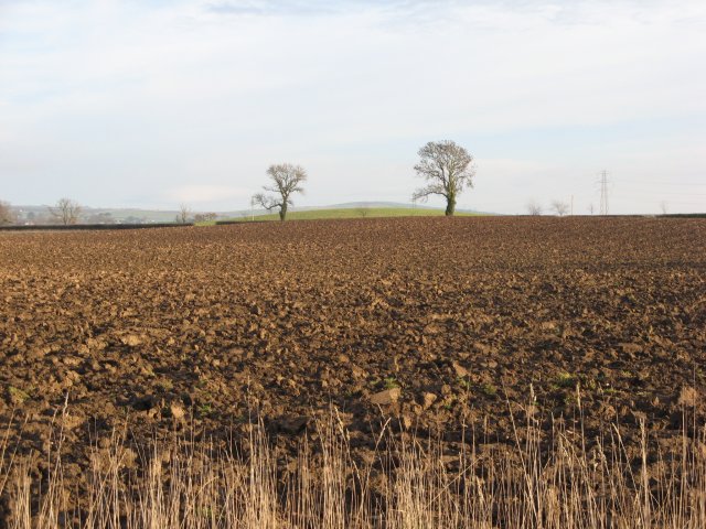
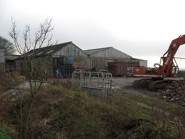
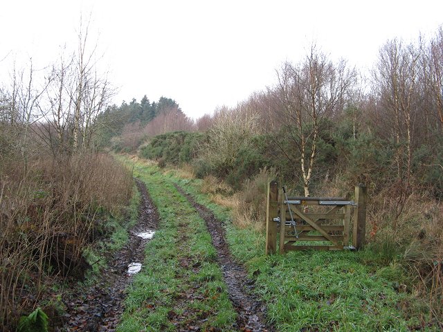
Foulden Newton Images

Images are sourced within 2km of 55.791865/-2.1253882 or Grid Reference NT9255. Thanks to Geograph Open Source API. All images are credited.

Foulden Tithe Barn It actually seems to be a bit of a guess that this is a tithe barn, but it's right by a church so the current thinking is that's what it was. An Historic Scotland property
Foulden Tithe Barn
It actually seems to be a bit of a guess that this is a tithe barn, but it's right by a church so the current thinking is that's what it was. An Historic Scotland property
Foulden Village taken close to the war memorial, these houses look down the hill towards Paxton and England
Foulden Village
taken close to the war memorial, these houses look down the hill towards Paxton and England
Hag Wood Guaranteed 100% orienteer proof!  A surviving wood that is either thickly planted young sitka, or dense gorse - or both.  100% fight!
No doubt a good winter refuge for wildlife.
Hag Wood
Guaranteed 100% orienteer proof! A surviving wood that is either thickly planted young sitka, or dense gorse - or both. 100% fight! No doubt a good winter refuge for wildlife.
Foulden Hag Foulden Hag on the older maps, Grunewald on the 1:25k map. A muddy road and collection of houses on the edge of Hag Wood.
Foulden Hag
Foulden Hag on the older maps, Grunewald on the 1:25k map. A muddy road and collection of houses on the edge of Hag Wood.
Hag Wood Not all of Hag Wood is impenetrable gorse. An open bit near the southern edge at Foulden Hag.
Hag Wood
Not all of Hag Wood is impenetrable gorse. An open bit near the southern edge at Foulden Hag.
Footpath sign, Foulden Hag A sign just like the ones they have "next door". Taken from a useful bypass path avoiding a lot of farm buildings, and the gorse of Hag Wood.
Footpath sign, Foulden Hag
A sign just like the ones they have "next door". Taken from a useful bypass path avoiding a lot of farm buildings, and the gorse of Hag Wood.
Blinkbonny Old workshops still in use. Track leads over the southern flank of Deanshill eastward towards England.
Blinkbonny
Old workshops still in use. Track leads over the southern flank of Deanshill eastward towards England.
Hutton Bridge High crossing of the Whiteadder. A new deck was placed on the piers in the 1980s.
Hutton Bridge
High crossing of the Whiteadder. A new deck was placed on the piers in the 1980s.
Woodland, Broadmeadows The steep slopes of the Whiteadder dean are usually wooded. The track runs down to Hutton Mill.
Woodland, Broadmeadows
The steep slopes of the Whiteadder dean are usually wooded. The track runs down to Hutton Mill.
Ploughed field, Clarabad Flat farmland above the deep dean of the Whiteadder. The newly ploughed land will have benefited from the recent long frost breaking up the soil.
Ploughed field, Clarabad
Flat farmland above the deep dean of the Whiteadder. The newly ploughed land will have benefited from the recent long frost breaking up the soil.
Foulden Hag Farmyard with cattle crush in foreground.
Foulden Hag
Farmyard with cattle crush in foreground.
Edington Hill Lane Edington Hill Lane crossing the southern part of Hag Wood.
Edington Hill Lane
Edington Hill Lane crossing the southern part of Hag Wood.
Edington Hill Lane View towards the eastern end of the track in Hag Wood.
Edington Hill Lane
View towards the eastern end of the track in Hag Wood.
Newton Braes and Whiteadder Water View downstream from Hutton Bridge. The steep slopes are wooded on both sides of the river, which has cut down a long way from the general land level here.
Newton Braes and Whiteadder Water
View downstream from Hutton Bridge. The steep slopes are wooded on both sides of the river, which has cut down a long way from the general land level here.
Track & Farmland
Track & Farmland
Base Transmitting Station Although not shown on the (current) OS Landranger, this monopole Cellular Base Station appears to have been recently erected. It is owned by Crown Castle Communications and service leased to mobile operators, most probably O2.
Base Transmitting Station
Although not shown on the (current) OS Landranger, this monopole Cellular Base Station appears to have been recently erected. It is owned by Crown Castle Communications and service leased to mobile operators, most probably O2.
Foulden Looking towards the border with England...
Foulden
Looking towards the border with England...
Foulden Milepost Showing the traveller that they're now 9 miles from Duns, and just 6 from Berwick on Tweed.
Foulden Milepost
Showing the traveller that they're now 9 miles from Duns, and just 6 from Berwick on Tweed.
Show me another place!

Foulden Newton is located at Grid Ref: NT9255 (Lat: 55.791865, Lng: -2.1253882)

Unitary Authority: The Scottish Borders

Police Authority: The Lothians and Scottish Borders

What 3 Words

///crinkled.appendix.credit. Near Chirnside, Scottish Borders

Nearby Locations

Bastle Dean Foulden Newton

Related Wikis

Foulden, Scottish Borders

Foulden is a civil parish and village in the Berwickshire area of Scottish Borders, Scotland, situated not far above the Whiteadder Water, and 7 miles...

Clappers, Scottish Borders

Clappers is a small village in Scottish Borders, Scotland, located right next to the border with England. There is a small monument commemorating the Golden...

Paxton, Scottish Borders

Paxton is a small village near the B6461 and the B6460, in the pre-1975 ancient county of Berwickshire, now an administrative area of the Scottish Borders...
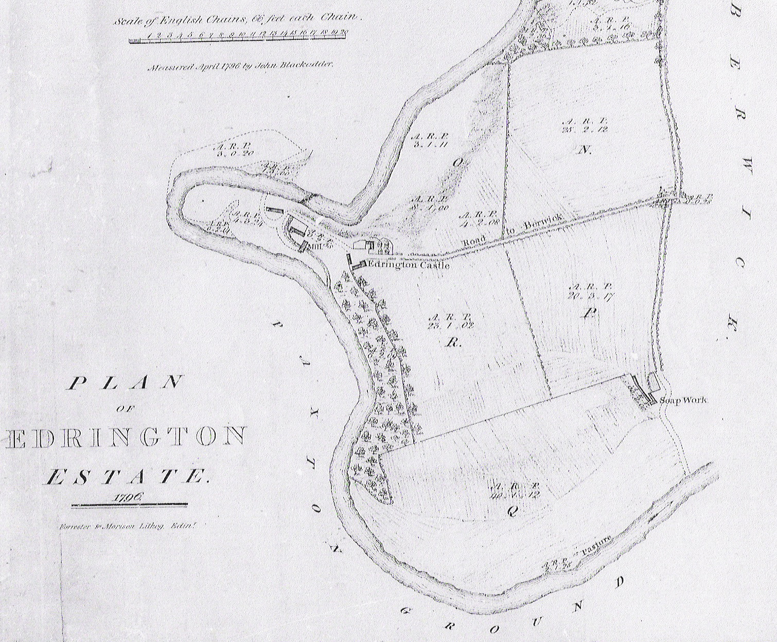
Edrington

Edrington is a medieval estate occupying the lower part of Mordington parish in Berwickshire, Scottish Borders, Scotland, five miles (8.0 km) west of Berwick...

Mordington

Mordington is an agricultural parish in the extreme south-east of Berwickshire in the Scottish Borders region. It is five miles from Berwick-upon-Tweed...

Hutton, Scottish Borders

Hutton is a small village in the Scottish Borders region of Scotland. Historically part of Berwickshire, it is a traditional, country village surrounded...

Hutton Castle

Hutton Castle is located in the Scottish Borders, overlooking the Whiteadder Water. It stands 2.5 kilometres (1.6 mi) southeast of Chirnside and 11 kilometres...

Paxton House, Berwickshire

Paxton House is a historic house at Paxton, Berwickshire, in the Scottish Borders, a few miles south-west of Berwick-upon-Tweed, overlooking the River...

Nearby Amenities

Located within 500m of 55.791865,-2.1253882
Bed & Breakfast
Tourism: guest_house
Lat/Long: 55.7908085/-2.1258791
Foulden Newton
Place: hamlet
Lat/Long: 55.7911514/-2.1255189
Foulden Bastle
Place: hamlet
Lat/Long: 55.7920677/-2.1295482
Power: pole
Lat/Long: 55.7896677/-2.1231827
Power: pole
Lat/Long: 55.7893559/-2.1236879
Power: pole
Lat/Long: 55.7890053/-2.1242554
Power: pole
Lat/Long: 55.7882728/-2.1238964
Power: pole
Lat/Long: 55.787573/-2.124019
Power: pole
Lat/Long: 55.7902334/-2.1246231
Power: pole
Lat/Long: 55.7899529/-2.1238943
Power: pole
Lat/Long: 55.7893812/-2.1224518
Power: pole
Lat/Long: 55.7890996/-2.121738
Power: pole
Lat/Long: 55.7888252/-2.1210092
Power: pole
Lat/Long: 55.7886838/-2.120504
Power: pole
Lat/Long: 55.7904582/-2.1251906
Power: pole
Lat/Long: 55.79088/-2.125268
Power: pole
Lat/Long: 55.7913574/-2.1253411
Power: pole
Lat/Long: 55.7918626/-2.1253303
Power: pole
Lat/Long: 55.7960938/-2.1253346
Power: pole
Lat/Long: 55.7956224/-2.1269298
Power: pole
Lat/Long: 55.7952551/-2.128181
Power: pole
Lat/Long: 55.7949143/-2.1293376
Power: pole
Lat/Long: 55.794559/-2.1305243
Power: pole
Lat/Long: 55.7942206/-2.1316594
Power: pole
Lat/Long: 55.7939934/-2.1323667
Power: pole
Lat/Long: 55.7906201/-2.1326999
Power: pole
Lat/Long: 55.7957602/-2.1237567
Power: pole
Lat/Long: 55.7950508/-2.1240104
Power: pole
Lat/Long: 55.7943402/-2.1242447
Power: pole
Lat/Long: 55.7937009/-2.1245586
Power: pole
Lat/Long: 55.793064/-2.1248681
Power: pole
Lat/Long: 55.7923775/-2.1251584
Power: pole
Lat/Long: 55.7942278/-2.1254765
Power: pole
Lat/Long: 55.7941819/-2.1261752
Power: pole
Lat/Long: 55.7941239/-2.1270953
Power: pole
Lat/Long: 55.7925322/-2.1297331
The data included in this document is from www.openstreetmap.org. The data is made available under ODbL.

Have you been to Foulden Newton?

Leave your review of Foulden Newton below (or comments, questions and feedback).