Foubister

Settlement in Orkney

Scotland

Foubister

Road to Muir of Meil There is an area of moss land beyond the fertile foreground.
Road to Muir of Meil Credit: Richard Webb

Foubister is a small rural settlement located on the island of Mainland in the Orkney archipelago, off the northeastern coast of Scotland. Situated in the parish of Stenness, Foubister is surrounded by stunning natural landscapes and is approximately 11 miles northwest of the main town of Kirkwall.

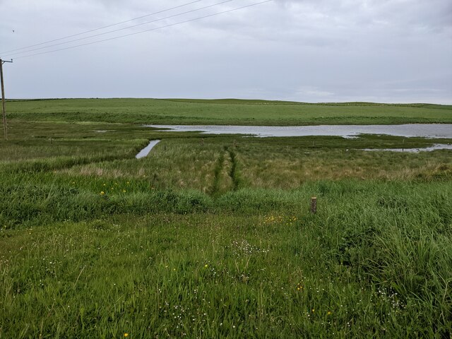
The settlement consists of a cluster of traditional stone-built houses, with the Firth of Forth and the Atlantic Ocean providing a picturesque backdrop. The area is characterized by its peaceful and idyllic atmosphere, offering residents and visitors a tranquil escape from the hustle and bustle of city life.

Foubister is renowned for its rich historical heritage, with the nearby Ring of Brodgar, a Neolithic stone circle, being a major attraction for archaeology enthusiasts. The Ring of Brodgar is part of the UNESCO World Heritage Site known as the Heart of Neolithic Orkney, which also includes the Standing Stones of Stenness and Maeshowe Chambered Cairn.

The surrounding landscape is perfect for nature lovers, with scenic walks and hiking trails offering breathtaking views of the Orkney countryside. Foubister is also an excellent location for birdwatching, as it is situated near the RSPB nature reserve of Hobbister, which is home to a diverse range of bird species.

Although small in size, Foubister offers a peaceful and picturesque setting, making it an ideal destination for those seeking a serene and nature-filled escape in the heart of the Orkney Islands.

If you have any feedback on the listing, please let us know in the comments section below.
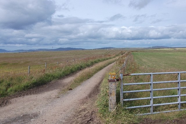
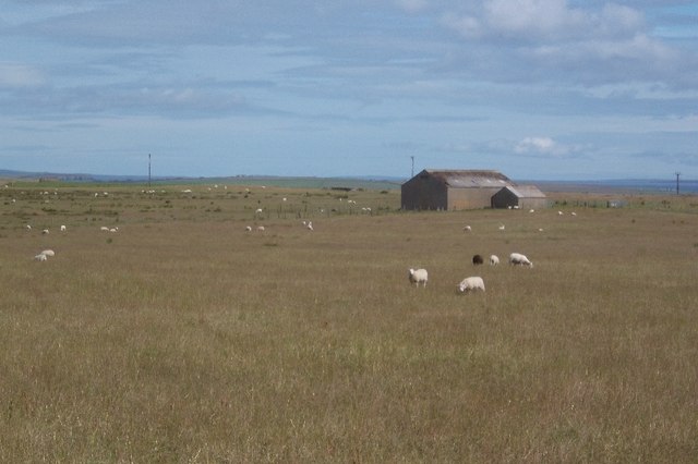
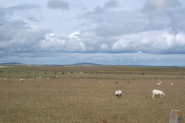
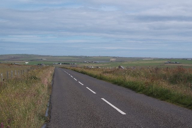
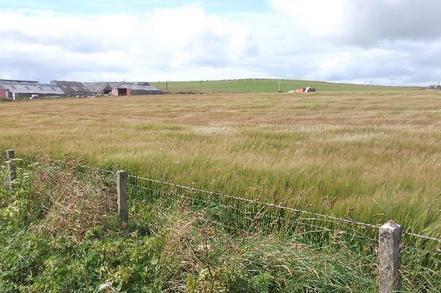
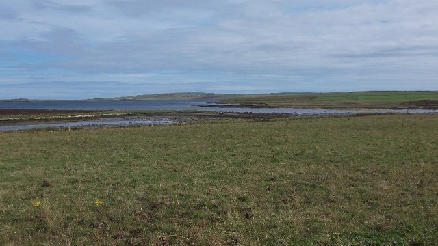
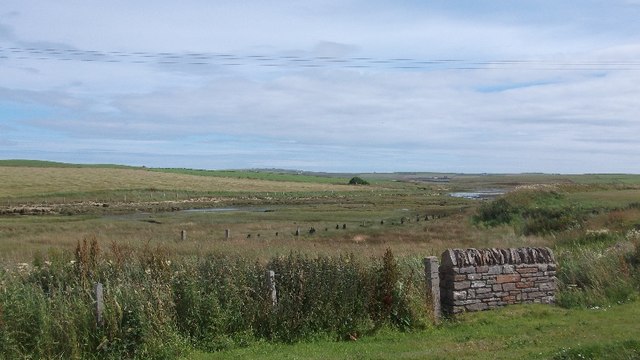
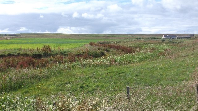
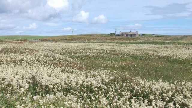
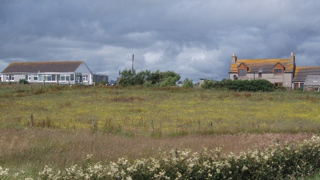
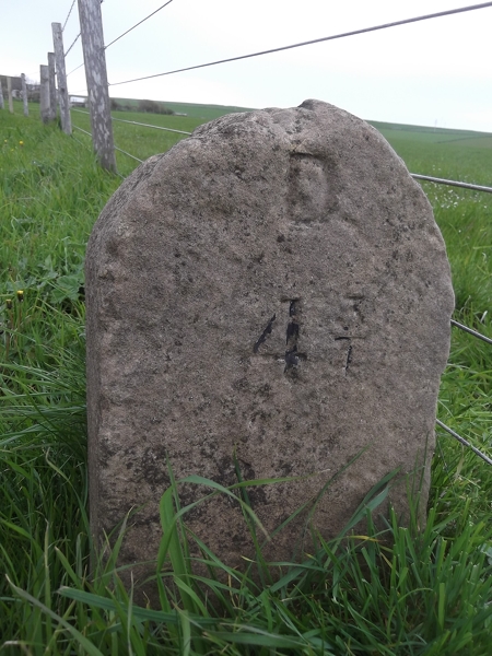
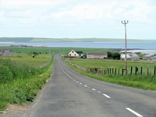
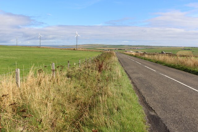
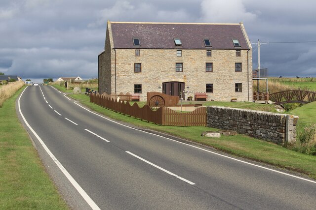
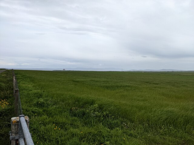
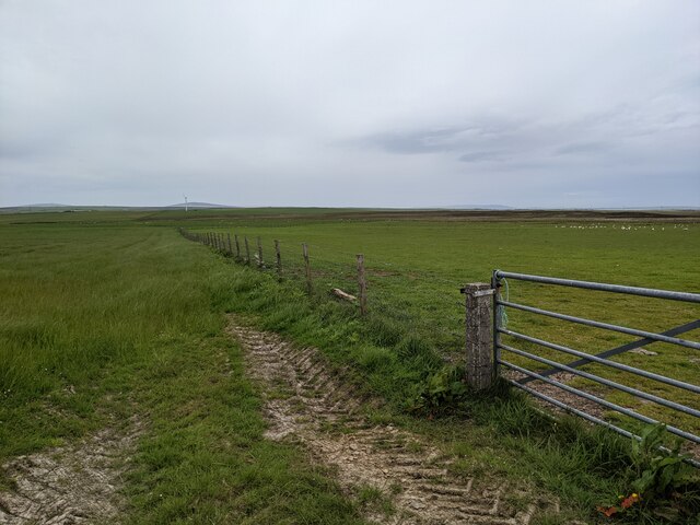
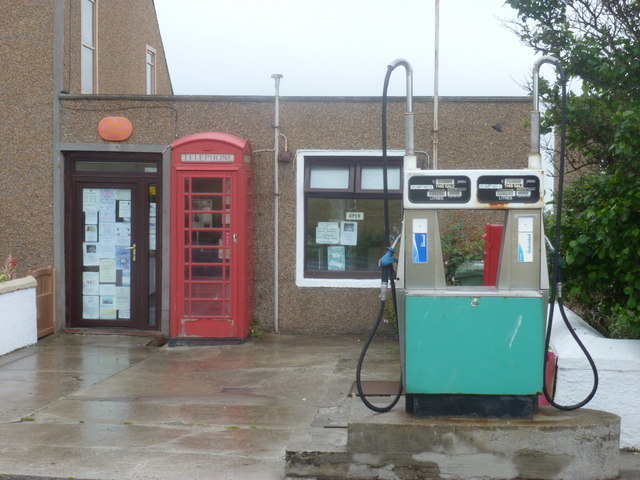
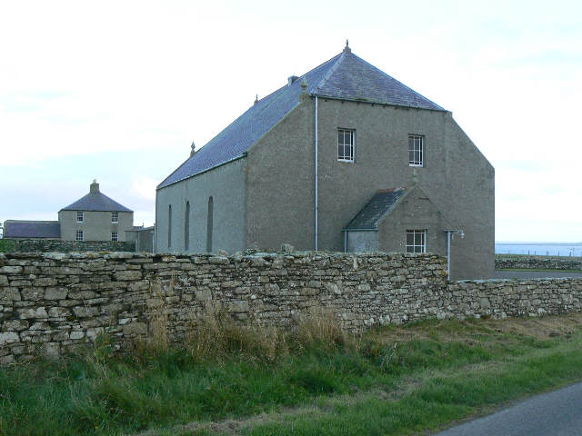
Foubister Images

Images are sourced within 2km of 58.917396/-2.8385 or Grid Reference HY5103. Thanks to Geograph Open Source API. All images are credited.

Road to Muir of Meil There is an area of moss land beyond the fertile foreground.
Road to Muir of Meil
There is an area of moss land beyond the fertile foreground.
Field, Muckle Ocklester A rhombus shaped field with a substantial shed beyond.
Field, Muckle Ocklester
A rhombus shaped field with a substantial shed beyond.
Pasture, Ocklester
Pasture, Ocklester
B9052, Ocklester A good quality road crossing Mainland to the east of Kirkwall.
B9052, Ocklester
A good quality road crossing Mainland to the east of Kirkwall.
Barley, Foubister Arable land on the north side of Mainland, near Toab.
Barley, Foubister
Arable land on the north side of Mainland, near Toab.
Toab A field beside Bay of Suckquoy.
Toab
A field beside Bay of Suckquoy.
Estuary, Toab A tidal inlet at the head of Bay of Suckquoy.
Estuary, Toab
A tidal inlet at the head of Bay of Suckquoy.
Horsick Coastal farmland, Toab.
Horsick
Coastal farmland, Toab.
Meadowsweet, Millbrae Vast area of the ever popular fragrant wetland plant.
Meadowsweet, Millbrae
Vast area of the ever popular fragrant wetland plant.
Milldam Orkney hay meadows.
Milldam
Orkney hay meadows.
Old Milestone by the A960, St Ola, Kirkwall parish Stone post by the A960, in parish of Kirkwall, St Ola (Mainland District), East of bungalow, on verge, on rise, South side of road.

Inscription reads:-
: K / 7 : : D / 4¾ :
(To Kirkwall and Deerness)

Surveyed

Milestone Society National ID: OR_KWDN07
Old Milestone by the A960, St Ola, Kirkwall parish
Stone post by the A960, in parish of Kirkwall, St Ola (Mainland District), East of bungalow, on verge, on rise, South side of road. Inscription reads:- : K / 7 : : D / 4¾ : (To Kirkwall and Deerness) Surveyed Milestone Society National ID: OR_KWDN07
Heading downhill at Foubister Looking north east down the hill towards Midbigging with Deer Sound beyond.
Heading downhill at Foubister
Looking north east down the hill towards Midbigging with Deer Sound beyond.
B9052 near Muckle Ocklester
Sebay Mill Former mill converted into holiday apartments.
Sebay Mill
Former mill converted into holiday apartments.
Lush grass at Muir of Meil
A field entrance at Muir of Meil
Where the Burn of Langskaill joins the Bay of Suckquoy
Toab: the post office More than just a village store - petrol filling station and part-time post office too.
Toab: the post office
More than just a village store - petrol filling station and part-time post office too.
Show me another place!

Foubister is located at Grid Ref: HY5103 (Lat: 58.917396, Lng: -2.8385)

Unitary Authority: Orkney Islands

Police Authority: Highlands and Islands

What 3 Words

///helpless.applauded.snooty. Near Holm, Orkney Islands

Nearby Locations

Foubister

Related Wikis

Mine Howe

Mine Howe is an Iron Age subterranean man-made chamber dug 6 meters (20 feet) deep inside a large mound. It is located in the Tankerness area of Orkney...

Holm, Orkney

Holm (pronounced /hæm/ ), also spelled Ham, is a parish on Mainland, Orkney.An adjacent Sound, running between Mainland, and Burray, is named after Holm...

St Peter's Pool, Orkney

St Peter's Pool is a bay in the East Mainland of Orkney, Scotland. This bay was the site of significant coastal defences during World War II, when a German...

Toab, Orkney

Toab is a parish on the Orkney Mainland, situated in the East Mainland. Toab is located off the A960 road at the head of Deer Sound on the Mainland, Orkney...

Tankerness

Tankerness is a district in the St Andrews parish in Mainland, Orkney, Scotland. Essentially a peninsula, it is about 13 kilometres (8 mi) south-east of...

Orkney F.C.

Orkney Football Club is a senior association football club from the Orkney Islands, Scotland. The club was founded in 2012 and competes in the North Caledonian...

Lamb Holm

Lamb Holm is a small uninhabited island in Orkney, Scotland. The Italian Chapel, constructed during the Second World War, is the island's main attraction...

Italian Chapel

The Italian Chapel is a highly ornate Catholic chapel on Lamb Holm in the Orkney Islands. It was built during World War II by Italian prisoners of war...

Nearby Amenities

Located within 500m of 58.917396,-2.8385
Power: pole
Lat/Long: 58.9130782/-2.8373399
Location Transition: yes
Power: pole
Lat/Long: 58.9139507/-2.8370342
Power: pole
Lat/Long: 58.9142041/-2.8333113
Power: pole
Lat/Long: 58.914121/-2.8345424
Power: pole
Lat/Long: 58.9140407/-2.8357038
Power: pole
Lat/Long: 58.9135629/-2.8425542
Power: pole
Lat/Long: 58.9136515/-2.8414115
Power: pole
Lat/Long: 58.9137125/-2.8402528
Power: pole
Lat/Long: 58.9138066/-2.8391209
Power: pole
Lat/Long: 58.9138856/-2.8379917
Power: pole
Lat/Long: 58.9148065/-2.8367606
Generator Method: wind_turbine
Generator Source: wind
Generator Type: horizontal_axis
Power: generator
Lat/Long: 58.9211791/-2.8390995
Power: pole
Lat/Long: 58.9213936/-2.8362644
Power: pole
Lat/Long: 58.9209409/-2.8355402
Power: pole
Lat/Long: 58.920484/-2.8348053
Power: pole
Lat/Long: 58.920207/-2.8343359
Power: pole
Lat/Long: 58.9201378/-2.8342313
Power: pole
Lat/Long: 58.9194302/-2.8346765
Power: pole
Lat/Long: 58.9188113/-2.8350279
Power: pole
Lat/Long: 58.9180594/-2.8354222
Power: pole
Lat/Long: 58.9176177/-2.8356636
Power: pole
Lat/Long: 58.9171856/-2.8358486
Power: pole
Lat/Long: 58.9156249/-2.836428
Power: pole
Lat/Long: 58.9162813/-2.8361839
Power: pole
Lat/Long: 58.917115/-2.8397647
Power: pole
Lat/Long: 58.9170693/-2.8388232
Power: pole
Lat/Long: 58.9168754/-2.8373963
Power: pole
Lat/Long: 58.9166732/-2.8360444
Power: pole
Lat/Long: 58.9164738/-2.8346604
Power: pole
Lat/Long: 58.9162883/-2.8333515
Power: pole
Lat/Long: 58.9160889/-2.8319782
Power: pole
Lat/Long: 58.915895/-2.8306747
Power: pole
Lat/Long: 58.91777/-2.8439811
Power: pole
Lat/Long: 58.9175553/-2.8428331
Power: pole
Lat/Long: 58.9173615/-2.8417066
Power: pole
Lat/Long: 58.9139617/-2.836841
Foubister
Place: locality
Lat/Long: 58.9168962/-2.8384617
Power: pole
Lat/Long: 58.9199279/-2.8322662
Power: pole
Lat/Long: 58.9201381/-2.8337416
Power: pole
Lat/Long: 58.9203521/-2.8351969
Power: pole
Lat/Long: 58.9205546/-2.8366698
Power: pole
Lat/Long: 58.9207933/-2.8384242
Power: pole
Lat/Long: 58.9210308/-2.8401761
Power: pole
Lat/Long: 58.921298/-2.841928
The data included in this document is from www.openstreetmap.org. The data is made available under ODbL.

Have you been to Foubister?

Leave your review of Foubister below (or comments, questions and feedback).