Fosters Green

Settlement in Lancashire West Lancashire

England

Fosters Green

Ashurst's Beacon The land here was only a bequest in 1962 to the people of Wigan
Ashurst's Beacon Credit: Kevin Waterhouse

Fosters Green is a small village located in the county of Lancashire, England. Situated in the West Lancashire district, it is nestled between the towns of Ormskirk and Skelmersdale. With a population of around 500 residents, Fosters Green is a close-knit community characterized by its peaceful atmosphere and picturesque surroundings.

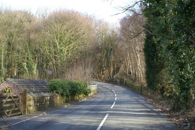
The village is primarily residential, with a mix of traditional cottages and modern houses. The architecture reflects a blend of old-world charm and contemporary designs. Fosters Green enjoys a rural setting, with vast expanses of green fields and farmland surrounding the village. This idyllic countryside provides a tranquil backdrop for residents and visitors alike.

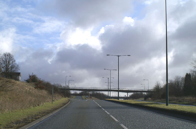
Despite its small size, Fosters Green is well-connected to neighboring towns and cities. The nearby A570 road provides easy access to Ormskirk and Skelmersdale, as well as the wider road network. Public transportation options include regular bus services, allowing residents to commute to nearby towns and access amenities and services.

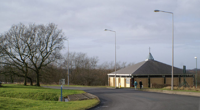
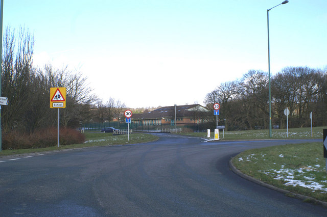
The village offers a range of amenities to cater to the needs of its residents. These include a local convenience store, a post office, and a primary school. For recreational activities, residents can enjoy walking and cycling in the scenic countryside, as well as visiting nearby parks and nature reserves.

Overall, Fosters Green is a charming village that offers a peaceful and picturesque living environment amidst the beautiful Lancashire countryside. Its close community spirit and convenient location make it an attractive place to reside.

If you have any feedback on the listing, please let us know in the comments section below.

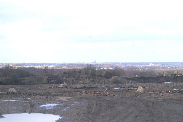
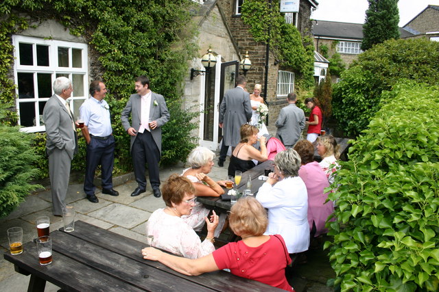
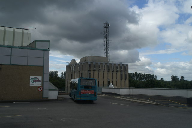
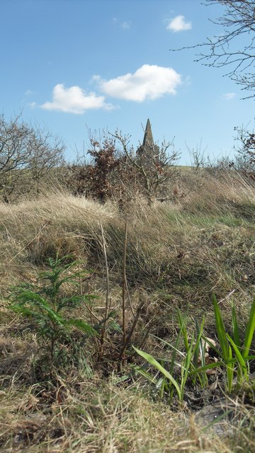
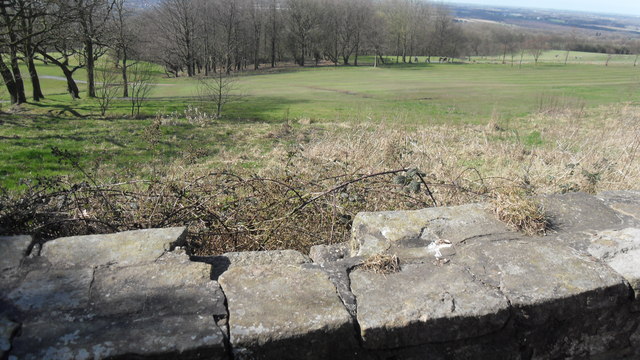
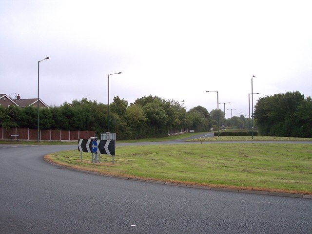
Fosters Green Images

Images are sourced within 2km of 53.558028/-2.7647638 or Grid Reference SD4907. Thanks to Geograph Open Source API. All images are credited.

Ashurst's Beacon The land here was only a bequest in 1962 to the people of Wigan
Ashurst's Beacon
The land here was only a bequest in 1962 to the people of Wigan
Golf and Glass View WNW from the car park on the eastern edge of the grid square. Looking across Beacon Park golf course towards Pilkington's European Technology Centre on Hall Lane, Lathom.
Golf and Glass
View WNW from the car park on the eastern edge of the grid square. Looking across Beacon Park golf course towards Pilkington's European Technology Centre on Hall Lane, Lathom.
Wrapped up against the cold St Michael & All Angels, Dalton
Wrapped up against the cold
St Michael & All Angels, Dalton
Star status for a Skelmersdale roundabout Skelmersdale New Town must be the place with the highest number of traffic islands, and has some of the largest.
Star status for a Skelmersdale roundabout
Skelmersdale New Town must be the place with the highest number of traffic islands, and has some of the largest.
Desert island for some Not everyone likes shopping
Desert island for some
Not everyone likes shopping
Ne'er the twain shall meet Skelmersdale's traffic system is aimed at keeping vehicles and pedestrians apart, leading to loads of footbridges, and no roadside pavements.
Ne'er the twain shall meet
Skelmersdale's traffic system is aimed at keeping vehicles and pedestrians apart, leading to loads of footbridges, and no roadside pavements.
All roads lead to Rome The Roman Catholic Church of St. Mary, Queen of Apostles, Skelmersdale, on yet another roundabout.
All roads lead to Rome
The Roman Catholic Church of St. Mary, Queen of Apostles, Skelmersdale, on yet another roundabout.
Bigger and bigger they get This is the largest roundabout in Skelmersdale - visible from space, I would think.
Bigger and bigger they get
This is the largest roundabout in Skelmersdale - visible from space, I would think.
A jewel of a traffic island Skelmersdale's traffic islands come in all sorts of configurations - this one is diamond-shaped.
A jewel of a traffic island
Skelmersdale's traffic islands come in all sorts of configurations - this one is diamond-shaped.
On the edge Round O Quarry above Skelmersdale & Newburgh. Southport's gasometer in the distance.
On the edge
Round O Quarry above Skelmersdale & Newburgh. Southport's gasometer in the distance.
Bridge over the Tawd On Cobbs Brow Lane, near Skelmersdale New Town
Bridge over the Tawd
On Cobbs Brow Lane, near Skelmersdale New Town
Elmers Green School Beside yet another Skem roundabout
Elmers Green School
Beside yet another Skem roundabout
Skelmersdale fire station Skelmersdale fire station, Tanhouse Road, Skelmersdale, Lancashire.
Skelmersdale fire station
Skelmersdale fire station, Tanhouse Road, Skelmersdale, Lancashire.
The Lancashire Manor Hotel, Nr. Skelmersdale This old manor house and great hall was formerly the Balcony Farm Hotel.

The great hall is a favourite venue for weddings and all other functions.
The Lancashire Manor Hotel, Nr. Skelmersdale
This old manor house and great hall was formerly the Balcony Farm Hotel. The great hall is a favourite venue for weddings and all other functions.
Skelmersdale Police Station From the Bus Station.
Skelmersdale Police Station
From the Bus Station.
Ashurst's Beacon Towards Ashurst's Beacon
Ashurst's Beacon
Towards Ashurst's Beacon
Wall on the Golf Course Below Ashurst's Beacon
Wall on the Golf Course
Below Ashurst's Beacon
Roundabout on Tanhouse Road Part of the ring road system of Skelmersdale
Roundabout on Tanhouse Road
Part of the ring road system of Skelmersdale
Show me another place!

Fosters Green is located at Grid Ref: SD4907 (Lat: 53.558028, Lng: -2.7647638)

Administrative County: Lancashire

District: West Lancashire

Police Authority: Lancashire

What 3 Words

///snoozing.grudge.delivers. Near Skelmersdale, Lancashire

Nearby Locations

Fosters Green

Related Wikis

Dalton, Lancashire

Dalton is a village and civil parish in West Lancashire, England, near Skelmersdale and south of the River Douglas. Dalton was listed in the Domesday Book...

Skelmersdale

Skelmersdale is a town in the West Lancashire district, in Lancashire, England, on the River Tawd, 6 miles (10 km) west of Wigan, 13 miles (21 km) northeast...

Glenburn Sports College

Glenburn Sports College was an 11–16 mixed, foundation secondary school in Skelmersdale, Lancashire, England. It was established in 1967 and was part of...

Skelmersdale and Holland

Skelmersdale and Holland was an urban district in Lancashire, England from 1968 to 1974. It was created by the merger of Skelmersdale and Upholland urban...

Maharishi School, Lancashire

The Maharishi School (Maharishi Free School or Maharishi School of the Age of Enlightenment) is a non-academically selective free school in Skelmersdale...

Lathom High School

Lathom High School is a coeducational secondary school and specialist technology college located in Skelmersdale in the English county of Lancashire. Following...

Our Lady Queen of Peace Catholic Engineering College

Our Lady Queen of Peace Catholic Engineering College is a coeducational Roman Catholic secondary school located in Skelmersdale in the English county of...

St Paul's Church, Skelmersdale

St Paul's Church is in Church Road, Skelmersdale, Lancashire, England. It is an active Anglican parish church in the deanery of Ormskirk, the archdeaconry...

Nearby Amenities

Located within 500m of 53.558028,-2.7647638
Barrier: cycle_barrier
Bicycle: yes
Foot: yes
Motor Vehicle: no
Lat/Long: 53.5566468/-2.7598688
Turning Circle
Lat/Long: 53.5559891/-2.7612078
Source: OS_OpenData_StreetView
Lat/Long: 53.5561778/-2.7606241
Turning Circle
Lat/Long: 53.5553212/-2.7621347
Give Way
Direction: forward
Lat/Long: 53.5576668/-2.765792
Turning Circle
Lat/Long: 53.5608727/-2.7603192
Give Way
Direction: forward
Lat/Long: 53.5574979/-2.7671989
Give Way
Direction: forward
Lat/Long: 53.5571332/-2.7687534
Give Way
Direction: forward
Lat/Long: 53.5569484/-2.7703549
Turning Circle
Lat/Long: 53.5614477/-2.7661768
Turning Circle
Lat/Long: 53.5613794/-2.7660062
Crossing
Crossing: unmarked
Crossing Island: no
Crossing Markings: no
Tactile Paving: no
Lat/Long: 53.5608945/-2.7660708
Crossing
Crossing: unmarked
Crossing Island: no
Crossing Markings: no
Tactile Paving: no
Lat/Long: 53.5607527/-2.7659585
Crossing
Crossing: unmarked
Crossing Island: no
Crossing Markings: no
Kerb: lowered
Tactile Paving: no
Lat/Long: 53.5568678/-2.7689644
Crossing
Crossing: unmarked
Crossing Island: no
Crossing Markings: no
Kerb: lowered
Tactile Paving: no
Lat/Long: 53.557024/-2.7690547
Mini Roundabout
Lat/Long: 53.558945/-2.7700116
Bus Stop
Bus: yes
Departures Board: no
Naptan AtcoCode: 2500LAA07576
Naptan NaptanCode: lanjpmdm
Public Transport: platform
Shelter: no
Lat/Long: 53.5610404/-2.770329
Bus Stop
Forest Drive
Bus: yes
Departures Board: timetable
Naptan AtcoCode: 2500LAA07566
Naptan NaptanCode: lanjpmaj
Public Transport: platform
Shelter: yes
Lat/Long: 53.5594536/-2.7654489
Bus Stop
Forest Drive
Bus: yes
Departures Board: timetable
Public Transport: platform
Shelter: no
Lat/Long: 53.5595036/-2.765753
Give Way
Direction: forward
Lat/Long: 53.5577894/-2.7660708
Give Way
Direction: forward
Lat/Long: 53.5573995/-2.7668669
Give Way
Direction: forward
Lat/Long: 53.5568849/-2.7699684
Give Way
Direction: forward
Lat/Long: 53.5568648/-2.7704932
Give Way
Direction: forward
Lat/Long: 53.5571146/-2.7680013
Birch Green
Is In: Skelmersdale
Place: suburb
Lat/Long: 53.554675/-2.7682723
Foster's Green
Is In: Skelmersdale
Place: suburb
Lat/Long: 53.5597139/-2.7637114
Direction: SSE
Generator Method: photovoltaic
Generator Output Electricity: yes
Generator Solar Modules: 16
Generator Source: solar
Generator Type: solar_photovoltaic_panel
Location: roof
Power: generator
Lat/Long: 53.5559341/-2.7615021
Direction: SSE
Generator Method: photovoltaic
Generator Output Electricity: yes
Generator Solar Modules: 16
Generator Source: solar
Generator Type: solar_photovoltaic_panel
Location: roof
Power: generator
Lat/Long: 53.5563896/-2.7606561
Direction: SSE
Generator Method: photovoltaic
Generator Output Electricity: yes
Generator Solar Modules: 16
Generator Source: solar
Generator Type: solar_photovoltaic_panel
Location: roof
Power: generator
Lat/Long: 53.5558679/-2.760711
Crossing
Lat/Long: 53.5570779/-2.7666119
Crossing
Lat/Long: 53.5564583/-2.7654335
Crossing
Lat/Long: 53.5568586/-2.7654512
Crossing
Lat/Long: 53.5541362/-2.7659418
Crossing
Lat/Long: 53.5537309/-2.7659433
Crossing
Lat/Long: 53.5538106/-2.7647619
Bus Stop
Bus: yes
Naptan AtcoCode: 2500LA00252
Naptan NaptanCode: langpjgp
Public Transport: platform
Lat/Long: 53.5549208/-2.7695744
Crossing
Lat/Long: 53.5562673/-2.7665971
Crossing
Lat/Long: 53.5545804/-2.7636506
Crossing
Lat/Long: 53.5549907/-2.7636578
Crossing
Lat/Long: 53.5572681/-2.7654533
Crossing
Lat/Long: 53.5546292/-2.7647707
Bus Stop
Birch Green Community Centre
Bus: yes
Departures Board: no
Naptan AtcoCode: 2500LA00250
Naptan NaptanCode: langpjgj
Public Transport: platform
Shelter: yes
Lat/Long: 53.5561754/-2.7634342
Bus Stop
Birch Green Community Centre
Bus: yes
Departures Board: no
Naptan AtcoCode: 2500LA00251
Naptan NaptanCode: langpjgm
Public Transport: platform
Shelter: yes
Lat/Long: 53.5563328/-2.7632135
Turning Circle
Lat/Long: 53.5625239/-2.7648854
Street Lamp
Lat/Long: 53.5593744/-2.7717449
Street Lamp
Lat/Long: 53.5594477/-2.7711481
Street Lamp
Lat/Long: 53.5595362/-2.7705715
Street Lamp
Lat/Long: 53.5596317/-2.7699773
Street Lamp
Lat/Long: 53.5597504/-2.7694087
Street Lamp
Lat/Long: 53.5598819/-2.7687838
Street Lamp
Lat/Long: 53.5600061/-2.7682648
Street Lamp
Lat/Long: 53.5601432/-2.7677431
Street Lamp
Lat/Long: 53.5602834/-2.7672187
Street Lamp
Lat/Long: 53.5603288/-2.7668713
Street Lamp
Lat/Long: 53.5603885/-2.7672589
Street Lamp
Lat/Long: 53.5608091/-2.767098
Street Lamp
Lat/Long: 53.5603017/-2.7666152
Street Lamp
Lat/Long: 53.5603742/-2.7662732
Street Lamp
Lat/Long: 53.560794/-2.7660855
Street Lamp
Lat/Long: 53.5601091/-2.7658366
Street Lamp
Lat/Long: 53.5600071/-2.7658704
Street Lamp
Lat/Long: 53.5593414/-2.7653602
Street Lamp
Lat/Long: 53.5590633/-2.7651734
Street Lamp
Lat/Long: 53.5587818/-2.765052
Street Lamp
Lat/Long: 53.5584628/-2.7649936
Street Lamp
Lat/Long: 53.5583469/-2.7649528
Street Lamp
Lat/Long: 53.5579627/-2.7650088
Street Lamp
Lat/Long: 53.5577589/-2.7658191
Street Lamp
Lat/Long: 53.5576326/-2.7663631
Street Lamp
Lat/Long: 53.5574856/-2.7669317
Street Lamp
Lat/Long: 53.5573386/-2.7674804
Street Lamp
Lat/Long: 53.5572304/-2.7678914
Street Lamp
Lat/Long: 53.5570861/-2.7684623
Street Lamp
Lat/Long: 53.5570071/-2.7688417
Street Lamp
Lat/Long: 53.5596273/-2.7655766
Street Lamp
Lat/Long: 53.5605539/-2.7660019
Street Lamp
Lat/Long: 53.5608984/-2.7657573
Street Lamp
Lat/Long: 53.5609532/-2.7652739
Street Lamp
Lat/Long: 53.5611245/-2.7648268
Street Lamp
Lat/Long: 53.5613166/-2.7643142
Street Lamp
Lat/Long: 53.5614879/-2.7638379
Street Lamp
Lat/Long: 53.5616841/-2.7633079
Street Lamp
Lat/Long: 53.5617854/-2.7607817
Street Lamp
Lat/Long: 53.5619505/-2.7611494
Street Lamp
Lat/Long: 53.5620524/-2.7615709
Street Lamp
Lat/Long: 53.5620732/-2.7622842
Street Lamp
Lat/Long: 53.5619179/-2.7629836
Street Lamp
Lat/Long: 53.5615452/-2.7606181
Street Lamp
Lat/Long: 53.561247/-2.7602863
Street Lamp
Lat/Long: 53.5603372/-2.7592098
Street Lamp
Lat/Long: 53.5609287/-2.7599338
Street Lamp
Lat/Long: 53.5606284/-2.7595801
Street Lamp
Lat/Long: 53.560043/-2.7588716
Street Lamp
Lat/Long: 53.5598024/-2.7586201
Street Lamp
Lat/Long: 53.5594806/-2.7582834
Street Lamp
Lat/Long: 53.5591546/-2.758002
Street Lamp
Lat/Long: 53.5588336/-2.7577393
Street Lamp
Lat/Long: 53.5585041/-2.757472
Street Lamp
Lat/Long: 53.5581602/-2.7571941
Post Box
Operator: Royal Mail
Operator Wikidata: Q638098
Post Box Design: type_k
Post Box Type: pillar
Ref: WN8 263
Royal Cypher: EIIR
Lat/Long: 53.5574815/-2.7628144
The data included in this document is from www.openstreetmap.org. The data is made available under ODbL.

Have you been to Fosters Green?

Leave your review of Fosters Green below (or comments, questions and feedback).