Fossoway
Settlement in Perthshire
Scotland
Fossoway

Fossoway is a small rural area located in the county of Perthshire, Scotland. Situated in the heart of the country, Fossoway is surrounded by picturesque countryside and offers a tranquil setting for its residents. The area is primarily known for its agricultural activities and stunning natural landscapes.
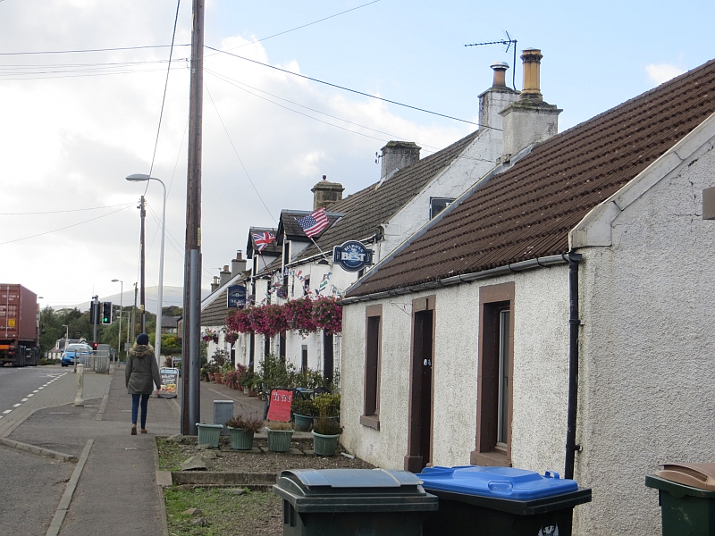
Fossoway is made up of several charming hamlets and villages, including Crook of Devon, Powmill, Blairingone, and Rumbling Bridge. Each of these settlements has its own unique character and charm, providing a sense of community for the locals. The area is dotted with traditional stone cottages and farmhouses, adding to its rustic appeal.
The landscape of Fossoway is dominated by rolling hills, lush farmland, and dense woodlands. The River Devon runs through the area, offering opportunities for fishing and scenic walks along its banks. The nearby Ochil Hills provide a stunning backdrop and are popular among outdoor enthusiasts for hiking and biking.
While Fossoway may be a rural area, it is well-connected to larger towns and cities. The city of Perth is approximately 10 miles to the north, offering a range of amenities and services. Fossoway is also within easy reach of the major transportation routes, making it accessible to those who commute to other areas for work or leisure.
Overall, Fossoway is a picturesque and idyllic area that offers a peaceful and close-knit community for its residents. Its natural beauty and rural charm make it an attractive place for those seeking a quieter lifestyle in the heart of Scotland.
If you have any feedback on the listing, please let us know in the comments section below.
Fossoway Images
Images are sourced within 2km of 56.199261/-3.5856552 or Grid Reference NO0101. Thanks to Geograph Open Source API. All images are credited.


Fossoway is located at Grid Ref: NO0101 (Lat: 56.199261, Lng: -3.5856552)
Unitary Authority: Perth and Kinross
Police Authority: Tayside
What 3 Words
///fortunate.indicates.disposing. Near Dollar, Clackmannanshire
Nearby Locations
Related Wikis

Muckhart
Muckhart (Scottish Gaelic: Muc-Àird) commonly refers to two small villages in Clackmannanshire, Scotland, Pool of Muckhart (Scottish Gaelic: Poll Mhuc...

Rumbling Bridge
Rumbling Bridge is a small village built on both side of a gorge of the River Devon, which formed the boundary between the historic counties of Perthshire...
Crook of Devon
Crook of Devon is a village within the parish of Fossoway in Kinross-shire about six miles (ten kilometres) west of Kinross on the A977 road. Its name...

Rumbling Bridge railway station
Rumbling Bridge railway station served the village of Rumbling Bridge, Kinross-shire, Scotland from 1863 to 1964 on the Devon Valley Railway. == History... ==
Nearby Amenities
Located within 500m of 56.199261,-3.5856552Have you been to Fossoway?
Leave your review of Fossoway below (or comments, questions and feedback).