Foundry Corner
Settlement in Norfolk Breckland
England
Foundry Corner
Foundry Corner is a quaint and historic neighborhood located in Norfolk, a vibrant city in the southeastern part of Virginia, United States. Situated in the heart of the city, Foundry Corner offers a unique blend of residential, commercial, and cultural attractions.
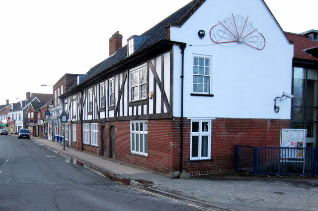
The neighborhood's name originates from its history as a hub for foundries and factories during the 19th and early 20th centuries. Today, it retains much of its industrial charm, with beautifully restored brick buildings and cobblestone streets that evoke a sense of nostalgia.
Foundry Corner is home to a diverse community of residents, including young professionals, families, and artists. The area boasts a range of housing options, from historic townhouses to modern apartments, providing something for everyone.
Residents and visitors alike can enjoy a variety of amenities in Foundry Corner. The neighborhood features an array of trendy cafes, restaurants, and boutiques, offering a vibrant dining and shopping scene. Additionally, the area is known for its thriving arts and cultural scene, with numerous galleries, theaters, and music venues showcasing local talent.
Foundry Corner is also conveniently located near some of Norfolk's most popular attractions. The neighborhood is within walking distance of the waterfront, where visitors can enjoy scenic views of the Elizabeth River and access various recreational activities.
Overall, Foundry Corner combines its rich historical heritage with a contemporary and lively atmosphere, making it a sought-after destination for those seeking a vibrant urban experience in Norfolk.
If you have any feedback on the listing, please let us know in the comments section below.
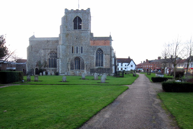
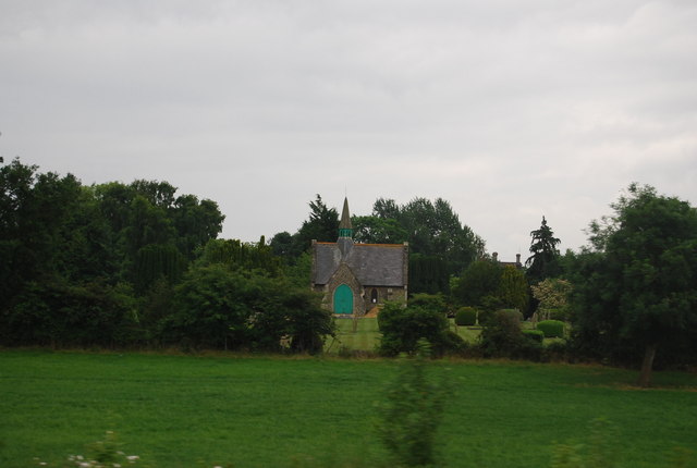
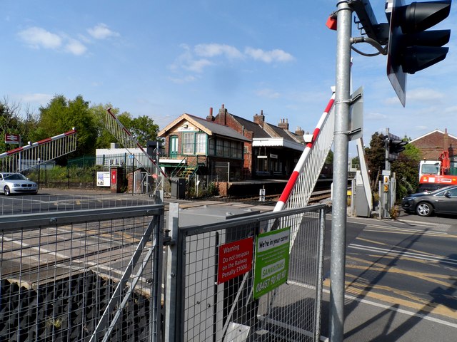
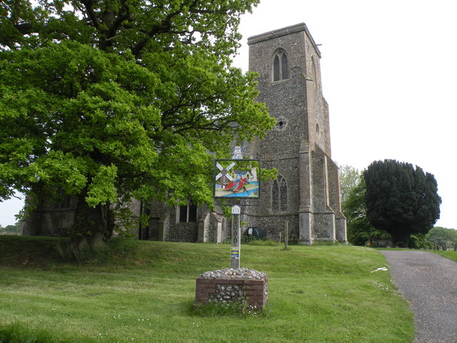
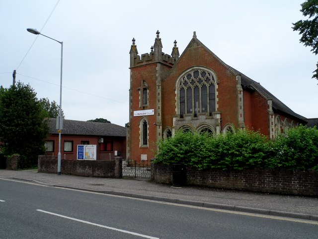
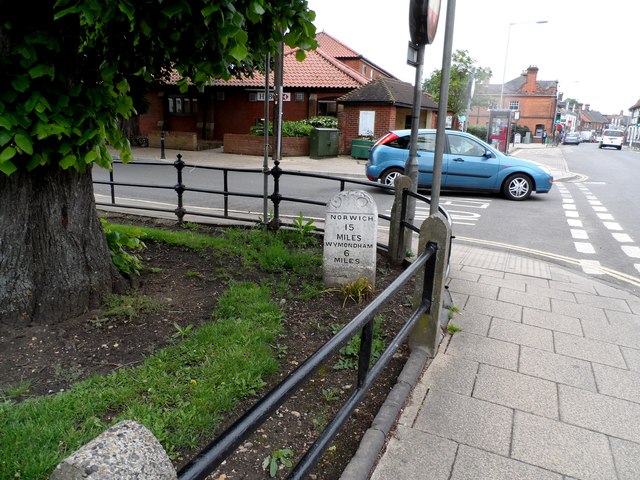
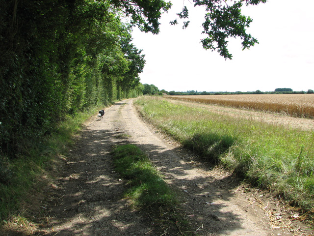
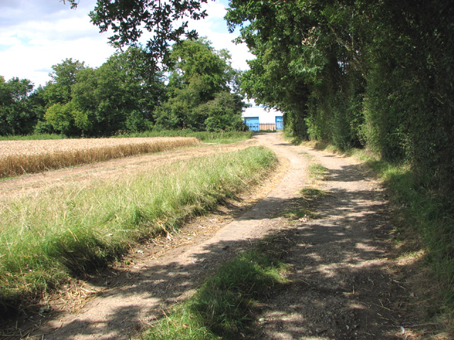
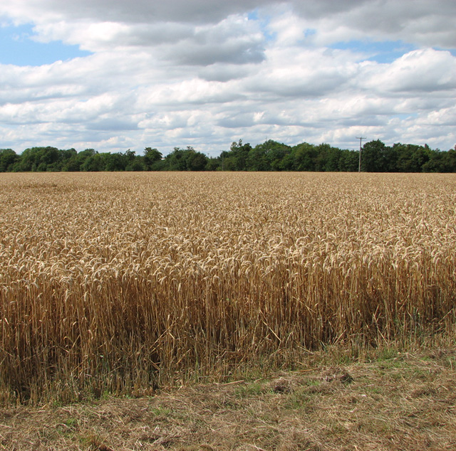
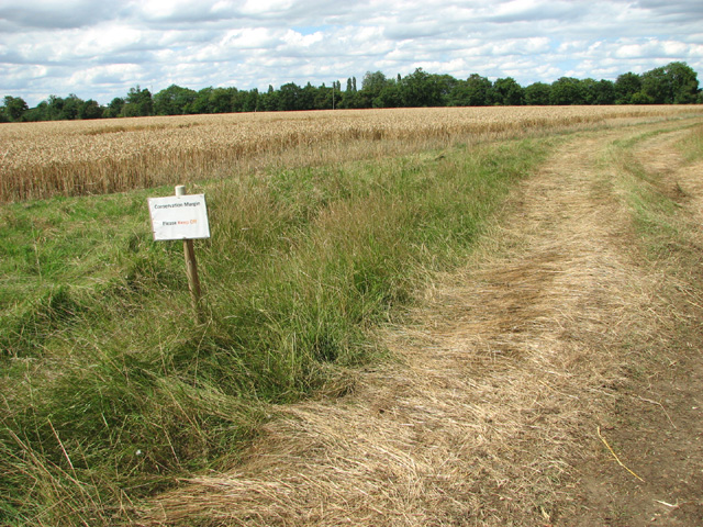
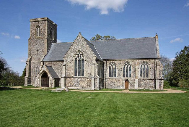
Foundry Corner Images
Images are sourced within 2km of 52.505441/1.0298874 or Grid Reference TM0594. Thanks to Geograph Open Source API. All images are credited.
Foundry Corner is located at Grid Ref: TM0594 (Lat: 52.505441, Lng: 1.0298874)
Administrative County: Norfolk
District: Breckland
Police Authority: Norfolk
What 3 Words
///snacking.solution.drank. Near Attleborough, Norfolk
Nearby Locations
Related Wikis
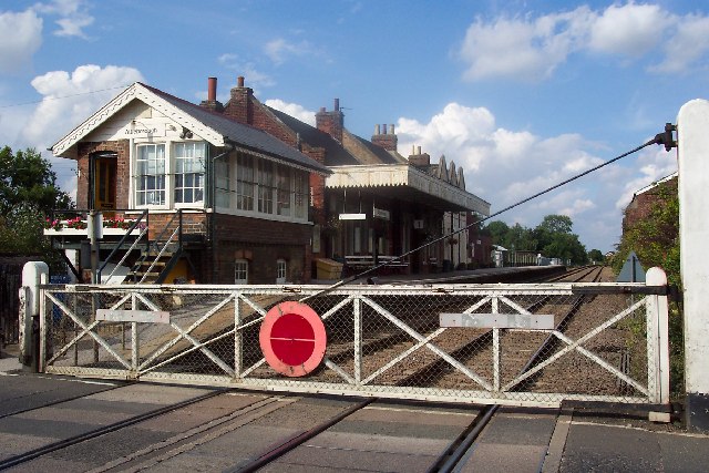
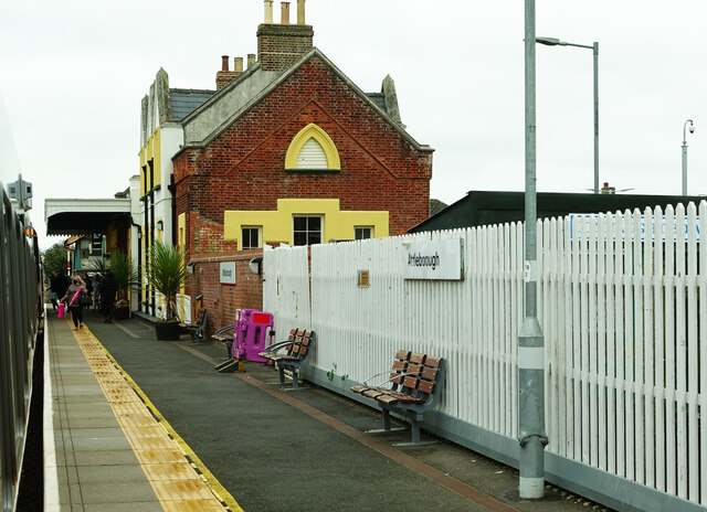
Attleborough railway station
Attleborough railway station is on the Breckland line in the east of England, serving the market town of Attleborough, Norfolk. The line runs between Cambridge...
Besthorpe, Norfolk
Besthorpe is a village and civil parish in the Breckland district of Norfolk, England, about a mile east of Attleborough, on the A11 road. According to...

Attleborough
Attleborough is a market town and civil parish located on the A11 between Norwich and Thetford in Norfolk, England. The parish is in the district of Breckland...

Old Buckenham Airfield
Old Buckenham Airfield (ICAO: EGSV), formerly RAF Old Buckenham, is located 12 nautical miles (22 km; 14 mi) southwest of Norwich, East Anglia, England...
Attleborough Academy
Attleborough Academy/Attleborough Academy Norfolk (AA/AAN) (formerly Attleborough High School) is a coeducational secondary school and sixth form with...

Old Buckenham Priory
Old Buckenham Priory was an Augustinian priory built on the site of Old Buckenham Castle at Old Buckenham in Norfolk, England. The priory was founded circa...

Kingdom of East Anglia
The Kingdom of the East Angles (Old English: Ēastengla Rīċe; Latin: Regnum Orientalium Anglorum), today known as the Kingdom of East Anglia, was a small...

Iceni
The Iceni ( eye-SEEN-eye, Classical Latin: [ɪˈkeːniː]) or Eceni were an ancient tribe of eastern Britain during the Iron Age and early Roman era. Their...
Nearby Amenities
Located within 500m of 52.505441,1.0298874Have you been to Foundry Corner?
Leave your review of Foundry Corner below (or comments, questions and feedback).