Forest Park
Settlement in Berkshire
England
Forest Park
Forest Park is a charming village located in the county of Berkshire, England. Nestled amidst rolling hills and lush greenery, it is a picturesque destination renowned for its natural beauty and tranquil atmosphere. The village is situated approximately 25 miles west of London, making it an ideal escape from the bustling city life.
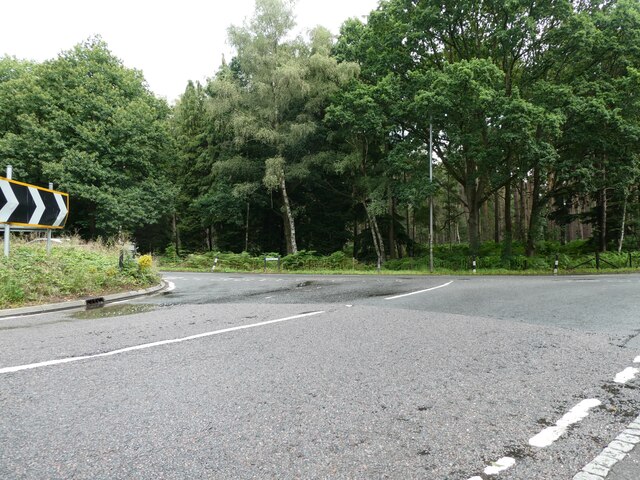
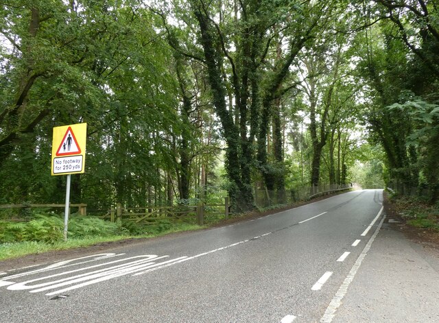
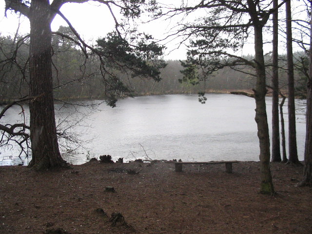
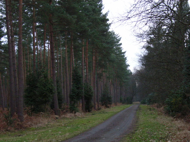
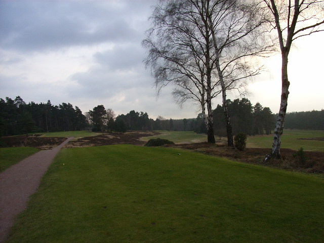
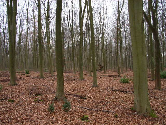
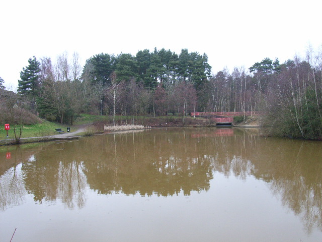
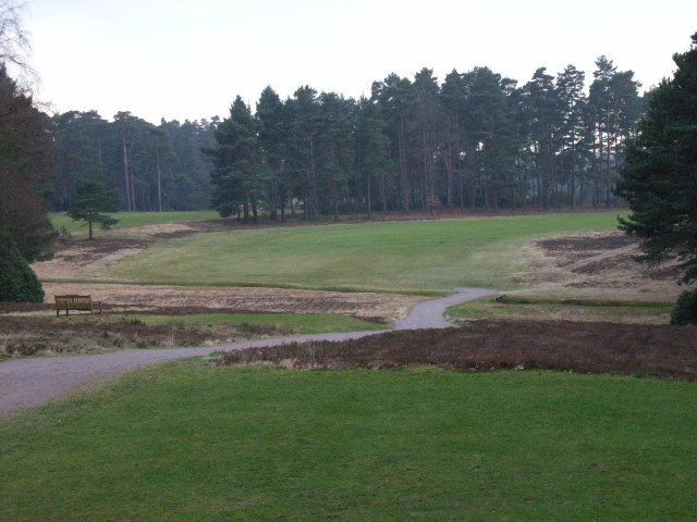
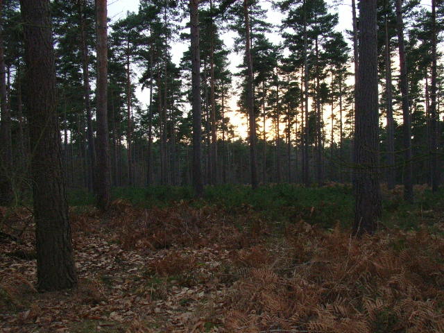
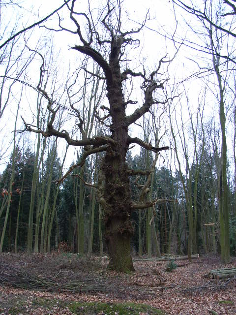
Forest Park is characterized by its extensive woodland areas, which cover a significant portion of the village. These woodlands provide a haven for a diverse range of flora and fauna, making it a popular destination for nature enthusiasts and hikers. The village is home to several well-maintained walking trails that offer stunning views of the surrounding countryside.
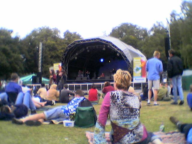
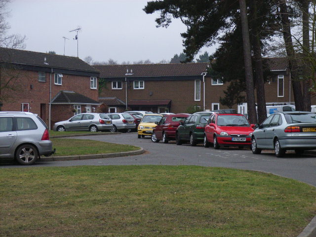
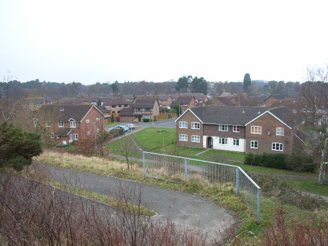
The heart of Forest Park is its quaint village center, which features a charming array of traditional cottages and local amenities. The village boasts a bustling high street lined with boutique shops, cozy cafes, and inviting pubs, where visitors can indulge in local cuisine and soak up the friendly atmosphere.
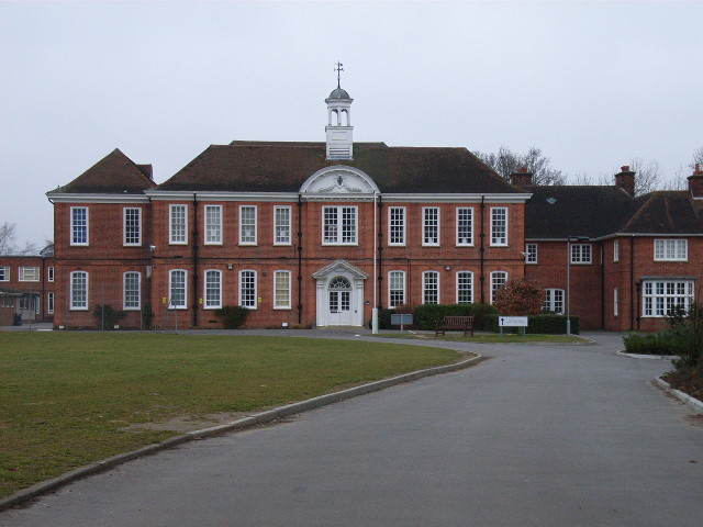
For those seeking cultural experiences, Forest Park is home to a number of historical landmarks and attractions. The village is dotted with beautiful churches and historic buildings, showcasing the area's rich heritage. Additionally, there are several art galleries and museums nearby that offer a glimpse into the region's artistic and cultural past.
Overall, Forest Park, Berkshire, offers a serene and idyllic retreat for those looking to escape the hustle and bustle of city life. With its stunning natural landscapes, charming village center, and rich history, it is a destination that appeals to visitors of all ages and interests.
If you have any feedback on the listing, please let us know in the comments section below.
Forest Park Images
Images are sourced within 2km of 51.398294/-0.72956644 or Grid Reference SU8867. Thanks to Geograph Open Source API. All images are credited.

Forest Park is located at Grid Ref: SU8867 (Lat: 51.398294, Lng: -0.72956644)
Unitary Authority: Bracknell Forest
Police Authority: Thames Valley
What 3 Words
///dollar.zealous.pest. Near Bracknell, Berkshire
Nearby Locations
Related Wikis

Forest Park, Bracknell Forest
Forest Park is a suburb of Bracknell, in Berkshire, England. It and Crown Wood are in Crown Wood ward and named after the Crown Estate of Swinley Forest...

Crown Wood
Crown Wood is a south-eastern estate of Bracknell in the English county of Berkshire, and formerly part of the parish of Winkfield. Crown Wood was built...

Harmans Water
Harmans Water is a suburb of Bracknell, in the English county of Berkshire, formerly part of the parish of Winkfield. It takes its name from Harman's Water...
The Warren, Bracknell Forest
The Warren is a suburban area in Berkshire, England, and a conurbation of Bracknell, adjacent to the large expanses of Swinley Forest, part of the Crown...

Jennett's Park
Jennett's Park is a suburb of Bracknell in the English county of Berkshire. It is a recent development with the first residents moving there in 2007. It...

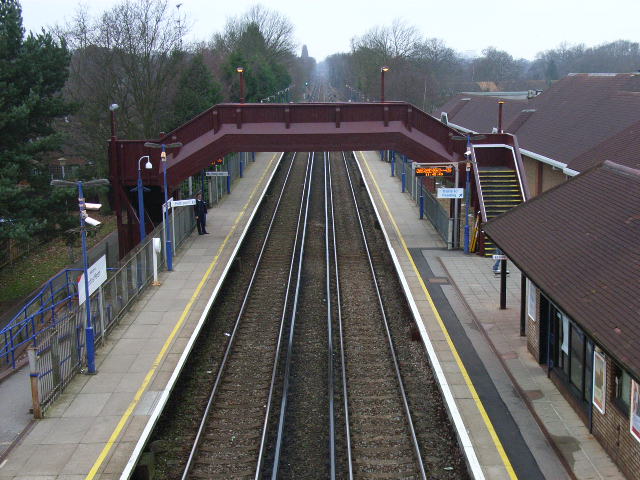
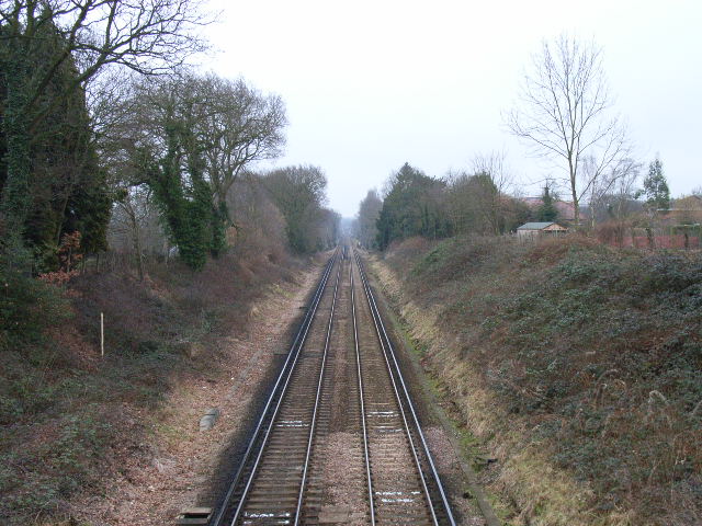
Martins Heron railway station
Martins Heron railway station serves Martins Heron, a suburb on the eastern edge of Bracknell, Berkshire, England. It is 31 miles 9 chains (50.1 km) down...

Swinley Park and Brick Pits
Swinley Park and Brick Pits is an 88.7-hectare (219-acre) biological Site of Special Scientific Interest east of Bracknell in Berkshire, United Kingdom...
Martins Heron
Martins Heron is a suburb of Bracknell 25 miles (40 km) west of London in Berkshire, England. Martins Heron and the neighbouring suburb The Warren are...
Nearby Amenities
Located within 500m of 51.398294,-0.72956644Have you been to Forest Park?
Leave your review of Forest Park below (or comments, questions and feedback).