Forestburn Gate

Settlement in Northumberland

England

Forestburn Gate

Old Milestone B6342 On the West side of the road on the verge. Mileage is "Rothbury 4 / Hexham 27"

Grade II listed see <span class="nowrap"><a title="https://historicengland.org.uk/listing/the-list/list-entry/1041247" rel="nofollow ugc noopener" href="https://historicengland.org.uk/listing/the-list/list-entry/1041247">Link</a><img style="margin-left:2px;" alt="External link" title="External link - shift click to open in new window" src="https://s1.geograph.org.uk/img/external.png" width="10" height="10"/></span>

Inscription: R.R / 4 // H / 27

Milestone Society National ID: NB_RBHX04
Old Milestone B6342 Credit: Mike Rayner

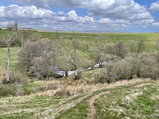
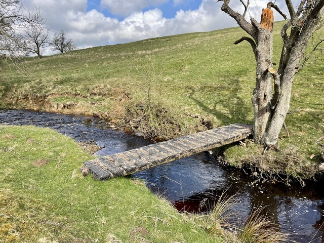
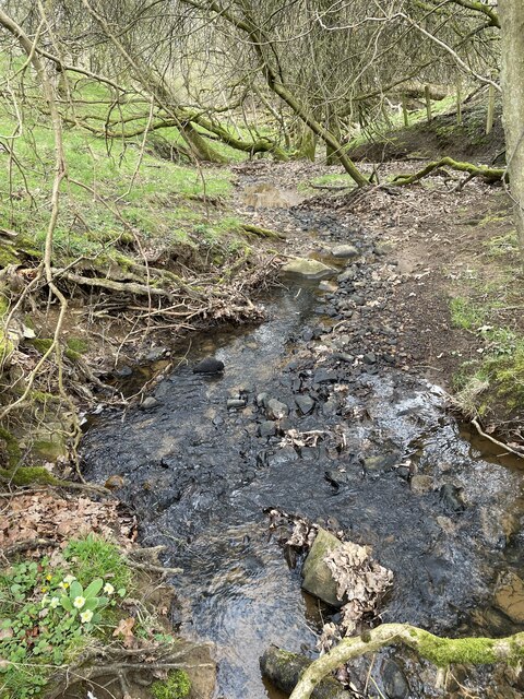
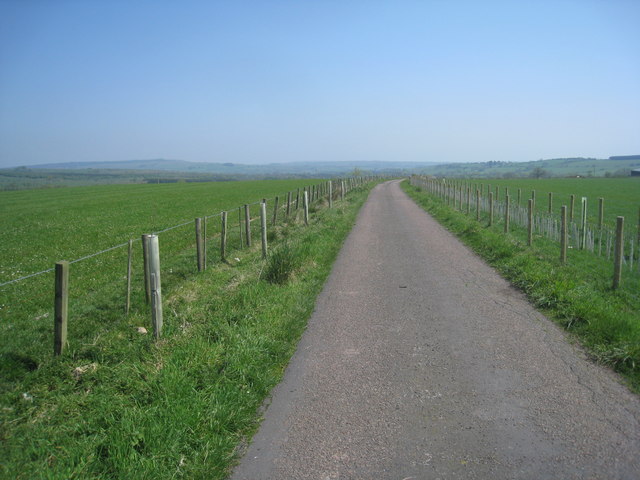
Forestburn Gate is a small village located in the county of Northumberland, England. Situated in the northern part of the county, it is nestled within the picturesque landscape of the Northumberland National Park. The village is surrounded by rolling hills, dense forests, and meandering rivers, offering residents and visitors alike a tranquil and scenic environment.

Despite its small size, Forestburn Gate boasts a close-knit community and a rich history dating back several centuries. The village is home to a handful of quaint stone cottages, some of which date back to the 18th century, adding to its charm and character. The local architecture is a mix of traditional and contemporary styles, blending seamlessly with the natural beauty of the surroundings.

One of the main attractions in Forestburn Gate is the nearby Kielder Forest, one of the largest man-made woodlands in Europe. Covering an impressive 250 square miles, it offers a wealth of outdoor activities, including hiking, cycling, and wildlife spotting. The Kielder Water and Forest Park, located close by, is also a popular destination, offering water sports, fishing, and camping opportunities.

For those seeking cultural experiences, Forestburn Gate is within easy reach of several historical sites and landmarks. The iconic Hadrian's Wall, a UNESCO World Heritage Site, stretches across the county and is a testament to the area's Roman past. Additionally, the vibrant market town of Hexham is just a short drive away, offering a range of amenities, shops, and historical attractions.

Overall, Forestburn Gate is a peaceful and idyllic village that combines natural beauty with a rich cultural heritage, making it an appealing destination for nature enthusiasts and history buffs alike.

If you have any feedback on the listing, please let us know in the comments section below.

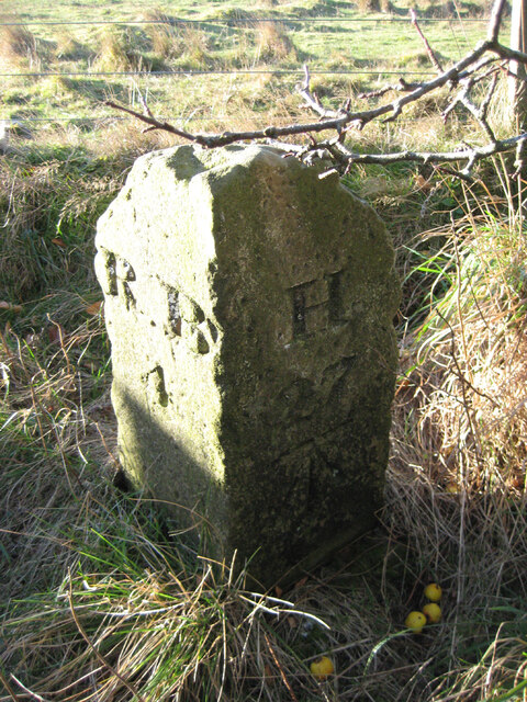
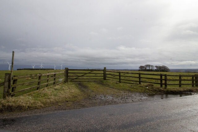
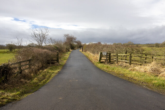
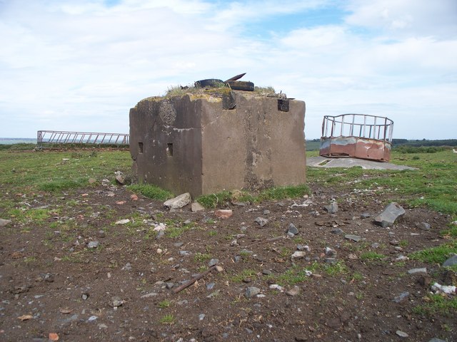
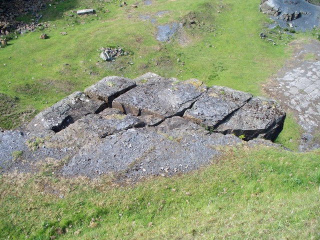
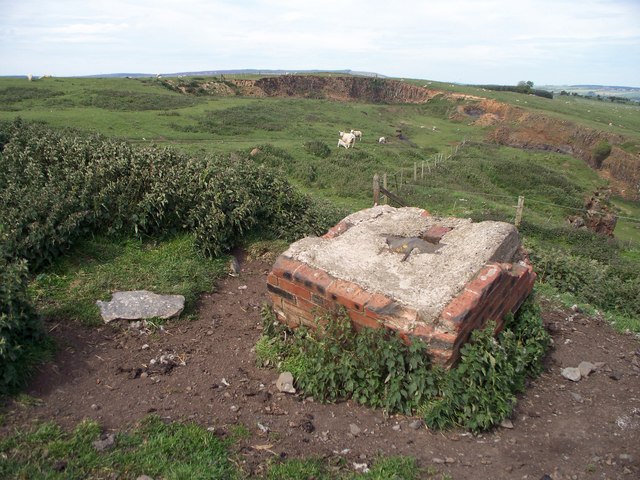
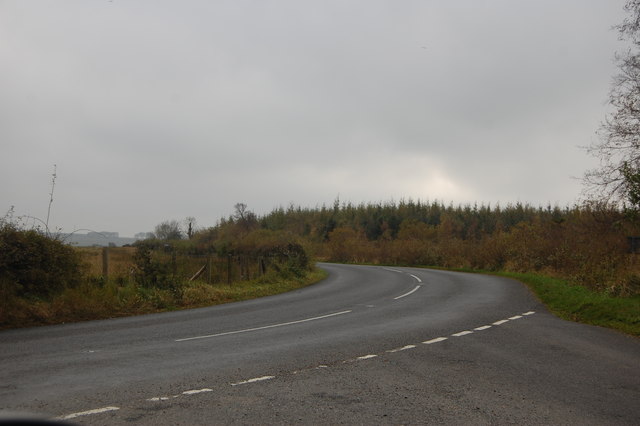
Forestburn Gate Images

Images are sourced within 2km of 55.260634/-1.8965334 or Grid Reference NZ0696. Thanks to Geograph Open Source API. All images are credited.
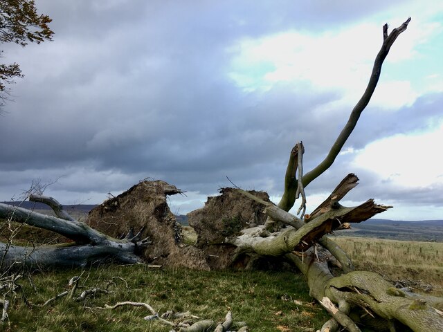
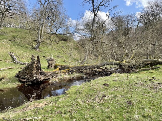
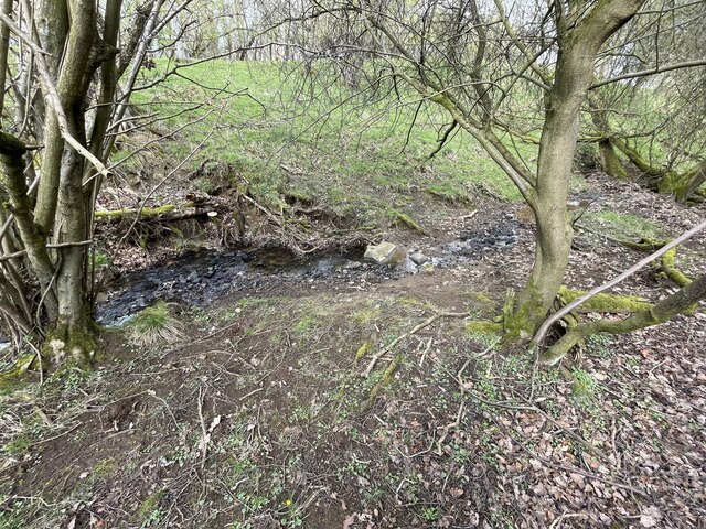
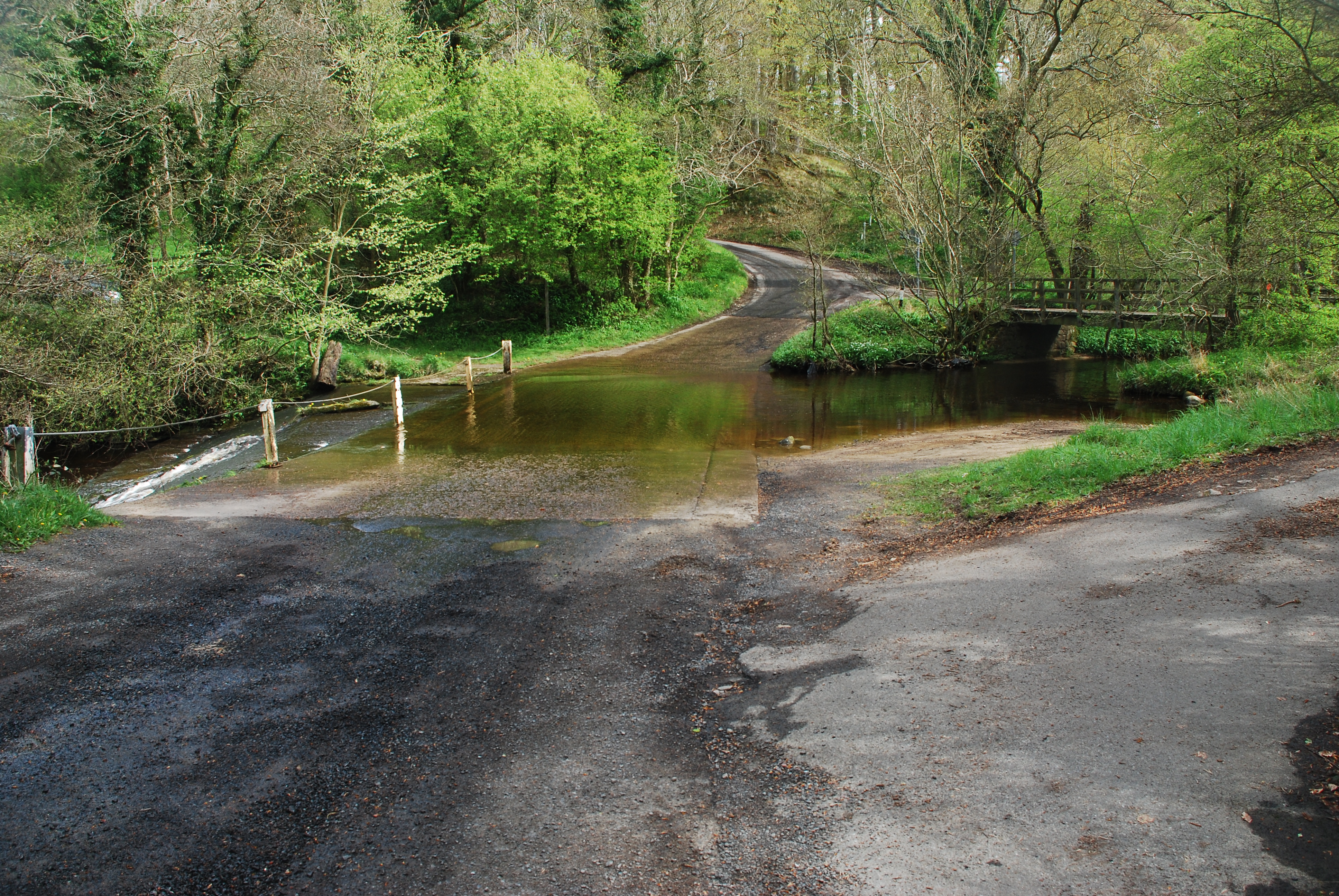
Old Milestone B6342 On the West side of the road on the verge. Mileage is "Rothbury 4 / Hexham 27"

Grade II listed see <span class="nowrap"><a title="https://historicengland.org.uk/listing/the-list/list-entry/1041247" rel="nofollow ugc noopener" href="https://historicengland.org.uk/listing/the-list/list-entry/1041247">Link</a><img style="margin-left:2px;" alt="External link" title="External link - shift click to open in new window" src="https://s1.geograph.org.uk/img/external.png" width="10" height="10"/></span>

Inscription: R.R / 4 // H / 27

Milestone Society National ID: NB_RBHX04
Old Milestone B6342
On the West side of the road on the verge. Mileage is "Rothbury 4 / Hexham 27" Grade II listed see LinkExternal link Inscription: R.R / 4 // H / 27 Milestone Society National ID: NB_RBHX04
Double whammy Even mature, healthy Beech trees were no match for Storm Arwen.  One year on and there is still a huge backlog of fallen trees to clear.
Double whammy
Even mature, healthy Beech trees were no match for Storm Arwen. One year on and there is still a huge backlog of fallen trees to clear.
Gateway to field
Gateway to field
Farm track
Farm track
Forest Burn valley and flood plain
Ash Dieback and Storm Arwen A deadly combination.
Ash Dieback and Storm Arwen
A deadly combination.
New bridge across the Forest Burn
Curious disappearing stream This stream is a relatively short one, only some 900m in length, but despite beginning life as quite a profuse spring at its main source <a href="https://www.geograph.org.uk/photo/7583026">NZ0795 : Iron rich spring</a>, by the time it reaches the Forest Burn it has become a dry valley, <a href="https://www.geograph.org.uk/photo/6506740">NZ0796 : Forest Burn tributary</a>.  The large rock near the centre of the picture is where it disappears into the stream bed.  This might possibly be a consequence of past mine workings in this area.
Curious disappearing stream
This stream is a relatively short one, only some 900m in length, but despite beginning life as quite a profuse spring at its main source NZ0795 : Iron rich spring, by the time it reaches the Forest Burn it has become a dry valley, NZ0796 : Forest Burn tributary. The large rock near the centre of the picture is where it disappears into the stream bed. This might possibly be a consequence of past mine workings in this area.
Curious disappearing stream This stream is a relatively short one, only some 900m in length, but despite beginning life as quite a profuse spring at its main source, by the time it reaches the Forest Burn it has become a dry valley, <a href="https://www.geograph.org.uk/photo/6506740">NZ0796 : Forest Burn tributary</a>. The large rock near the centre of the picture is where it disappears into the stream bed. This might possibly be a consequence of past mine workings in this area.
Curious disappearing stream
This stream is a relatively short one, only some 900m in length, but despite beginning life as quite a profuse spring at its main source, by the time it reaches the Forest Burn it has become a dry valley, NZ0796 : Forest Burn tributary. The large rock near the centre of the picture is where it disappears into the stream bed. This might possibly be a consequence of past mine workings in this area.
Iron rich spring This small spring emerges from the boggy clump of Rosebay Willowherb before making its short  (900m) but interesting <a href="https://www.geograph.org.uk/photo/7456973">NZ0796 : Curious disappearing stream</a> journey to the Forest Burn.  Its initial course has recently been tidied up, rendering its ironstone origins less obvious.
Iron rich spring
This small spring emerges from the boggy clump of Rosebay Willowherb before making its short (900m) but interesting NZ0796 : Curious disappearing stream journey to the Forest Burn. Its initial course has recently been tidied up, rendering its ironstone origins less obvious.
Where the stream runs A tributary of The Maglin burn runs under the road. The additions at either side of the culvert prevent water lying on the road during wet weather by providing a run off into the burn.
Where the stream runs
A tributary of The Maglin burn runs under the road. The additions at either side of the culvert prevent water lying on the road during wet weather by providing a run off into the burn.
Trees along the stream edge and the now defunct boundary wall that can be seen on the Ordnance Survey map of the area. The same group of trees in [<a title="https://www.geograph.org.uk/photo/2428831" href="https://www.geograph.org.uk/photo/2428831">Link</a>]
Trees along the stream edge
and the now defunct boundary wall that can be seen on the Ordnance Survey map of the area. The same group of trees in [Link]
Unfenced road crosses cattle grid Looking south towards Wingates. The footpath sign points the route to Wingates across country
Unfenced road crosses cattle grid
Looking south towards Wingates. The footpath sign points the route to Wingates across country
Industrial relic On Wards Hill, which was once a hive of industrial activity, but now is home to well bred sheep and cattle. Cattle feeders are seen standing behind the concrete block. The block has steel rope running through it. The round cattle feeder stands on a concrete base that once served a far different purpose.
Industrial relic
On Wards Hill, which was once a hive of industrial activity, but now is home to well bred sheep and cattle. Cattle feeders are seen standing behind the concrete block. The block has steel rope running through it. The round cattle feeder stands on a concrete base that once served a far different purpose.
Broken but still up Evidence can be seen on this rock outcrop that an attempt was made to break it from the upper level of the Quarry. The rock won the fight.
Broken but still up
Evidence can be seen on this rock outcrop that an attempt was made to break it from the upper level of the Quarry. The rock won the fight.
Remains of an industrial past It is remarkable how nature has taken over, with a little help from man.

Just peeking over the top of the quarry edge can be seen the range of Simonside hills.
Remains of an industrial past
It is remarkable how nature has taken over, with a little help from man. Just peeking over the top of the quarry edge can be seen the range of Simonside hills.
Road junction near Streethouse Plantation Looking from the minor road from Tosson and Lordenshaw.
Road junction near Streethouse Plantation
Looking from the minor road from Tosson and Lordenshaw.
Bridle-path to The Lee Near Holling Hill.
Bridle-path to The Lee
Near Holling Hill.
Show me another place!

Forestburn Gate is located at Grid Ref: NZ0696 (Lat: 55.260634, Lng: -1.8965334)

Unitary Authority: Northumberland

Police Authority: Northumbria

What 3 Words

///pony.incurring.concluded. Near Rothbury, Northumberland

Nearby Locations

Forestburn Gate

Related Wikis

Hesleyhurst

Hesleyhurst is a civil parish in the county of Northumberland in England. At the 2011 Census the population was only minimal. It is served by a joint parish...

Fontburn Halt railway station

Fontburn Halt was a weatherboard and corrugated-iron-built railway station in Northumberland, England, on the Rothbury Branch, built to serve the pre-existing...

Ewesley railway station

Ewesley station was a weather board and corrugated iron built railway station in Northumberland on the Rothbury Branch built to serve the local farming...

Nunnykirk Hall

Nunnykirk Hall is a 19th-century country house and Grade I listed building in the civil parish of Nunnykirk, near the village of Netherwitton in the English...

Brinkburn railway station

Brinkburn was a weatherboard- and corrugated-iron-built railway station in Northumberland on the Rothbury Branch built to serve the Healy Coate Colliery...

Nunnykirk

Nunnykirk is a settlement and civil parish in the county of Northumberland, England. Nunnykirk is the location of Nunnykirk Hall, a former nunnery country...

Fallowlees Flush

Fallowlees Flush is the name given to a Site of Special Scientific Interest (SSSI) in mid-Northumberland, England. The steeply sloping site has calcium...

Simonside Hills

The Simonside Hills are a hill range in Northumberland, England near the town of Rothbury. Most of the hills are around 300–400 metres (980–1,310 ft) high...

Nearby Amenities

Located within 500m of 55.260634,-1.8965334
Forestburn Gate
Place: hamlet
Lat/Long: 55.2608058/-1.8964982
Power: pole
Lat/Long: 55.2602548/-1.9031762
Power: pole
Lat/Long: 55.2606423/-1.9014582
Power: pole
Lat/Long: 55.26087/-1.898084
Power: pole
Lat/Long: 55.260977/-1.8966168
Power: pole
Lat/Long: 55.2614646/-1.8949378
Power: pole
Lat/Long: 55.2619705/-1.8932453
Power: pole
Lat/Long: 55.2629493/-1.8899964
Power: pole
Lat/Long: 55.2624626/-1.8915609
Ford: yes
Source: survey
Lat/Long: 55.2604519/-1.8948227
The data included in this document is from www.openstreetmap.org. The data is made available under ODbL.

Have you been to Forestburn Gate?

Leave your review of Forestburn Gate below (or comments, questions and feedback).