Fordmoor

Settlement in Devon East Devon

England

Fordmoor

Wooden Footbridge over a Stream A wooden footbridge over a stream on the public footpath running between Clyst Hydon and Plymtree in Devon.
Wooden Footbridge over a Stream Credit: John P Reeves

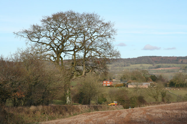
Fordmoor is a quaint village situated in the picturesque county of Devon, England. Nestled in the rolling hills of the South West, this charming village offers a serene and idyllic setting for its residents and visitors alike.

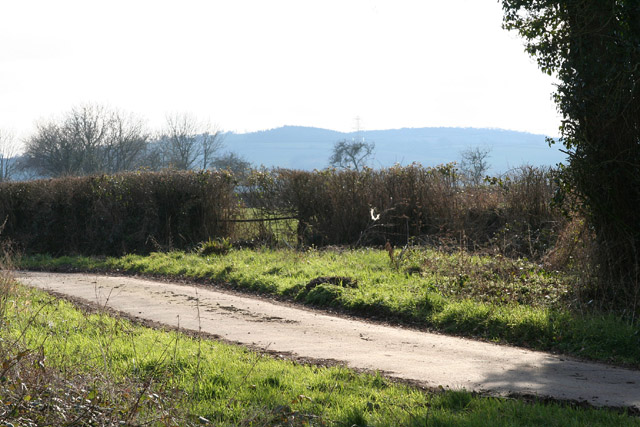
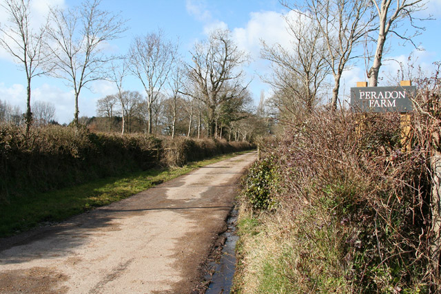
The village of Fordmoor boasts a population of approximately 500 people, creating a close-knit and friendly community. The stunning countryside surrounding the village provides ample opportunities for outdoor activities such as hiking, cycling, and horseback riding. A network of well-maintained footpaths and bridleways crisscross the area, offering breathtaking views of the lush green fields and meandering rivers.

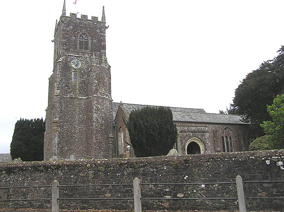
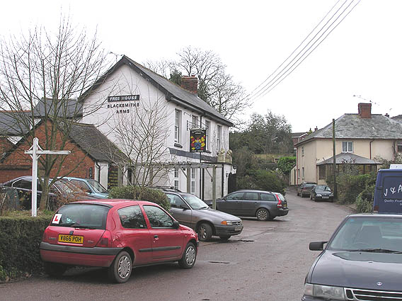
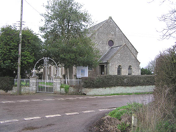
The heart of Fordmoor is its historic village center, characterized by a collection of traditional stone cottages and a quaint parish church dating back to the 12th century. The village also features a local pub, The Fordmoor Arms, which serves as a social hub for locals and visitors to enjoy a pint of locally brewed ale and hearty pub food.

Despite its rural charm, Fordmoor benefits from good transport links, with a regular bus service connecting the village to nearby towns and cities. The vibrant city of Exeter is a mere 20-minute drive away, offering a wide range of amenities, including shopping centers, theaters, and museums.

The residents of Fordmoor take great pride in their community and actively organize various events throughout the year, including summer fairs, village fetes, and Christmas markets. These events bring the community together and provide an opportunity for visitors to experience the warm and welcoming atmosphere that Fordmoor has to offer.

In summary, Fordmoor is a picturesque village in Devon, England, offering a tranquil countryside setting, a rich history, and a strong sense of community. With its stunning surroundings and friendly locals, it is a delightful destination for those seeking a peaceful retreat.

If you have any feedback on the listing, please let us know in the comments section below.
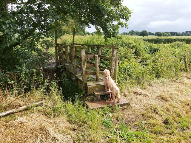
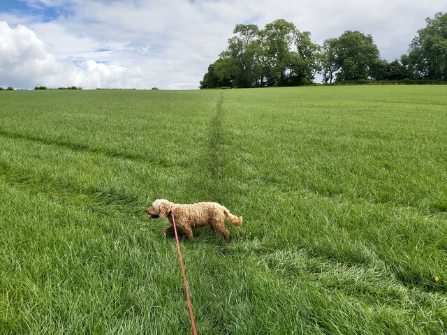
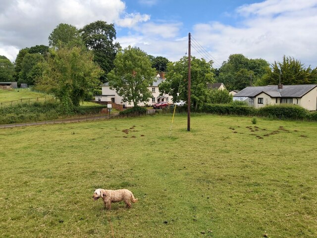
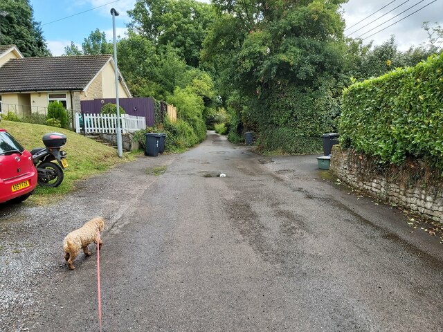
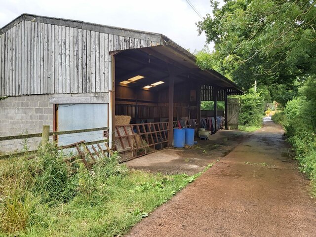
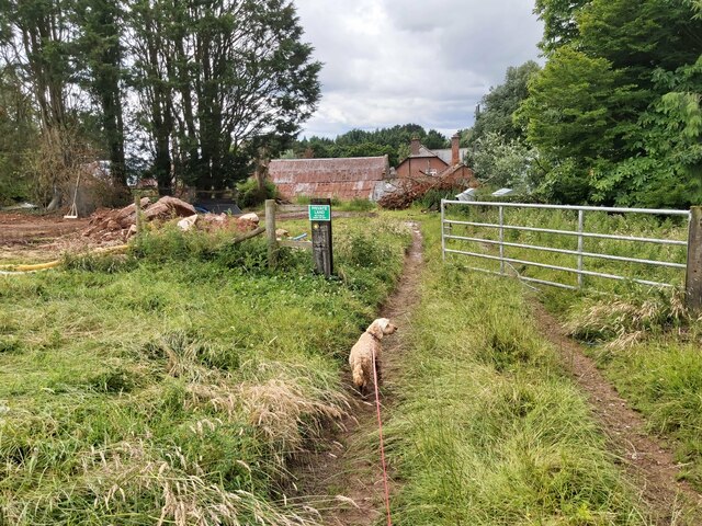
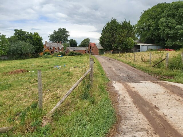
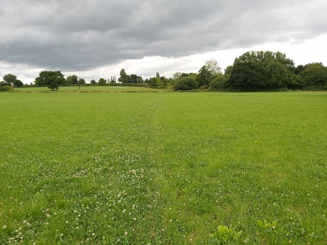
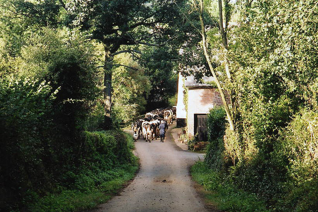
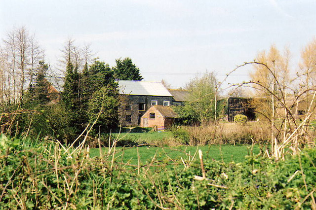
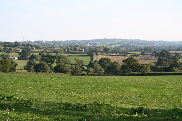
Fordmoor Images

Images are sourced within 2km of 50.820465/-3.3394983 or Grid Reference ST0503. Thanks to Geograph Open Source API. All images are credited.

Wooden Footbridge over a Stream A wooden footbridge over a stream on the public footpath running between Clyst Hydon and Plymtree in Devon.
Wooden Footbridge over a Stream
A wooden footbridge over a stream on the public footpath running between Clyst Hydon and Plymtree in Devon.
Footpath through a Field A public footpath running across a grass field from Clyst Hydon to Plymtree in Devon.
Footpath through a Field
A public footpath running across a grass field from Clyst Hydon to Plymtree in Devon.
Footpath approaching Plymtree The public footpath leaves this sheep field and enters the village of Plymtree in Devon.
Footpath approaching Plymtree
The public footpath leaves this sheep field and enters the village of Plymtree in Devon.
Country lane leading into Plymtree Green End Lane on the western approach to the village of Plymtree in Devon.
Country lane leading into Plymtree
Green End Lane on the western approach to the village of Plymtree in Devon.
Horse Stables next to the Path Horse stables next to the public footpath that runs south from Plymtree to Peradon Farm in Devon.
Horse Stables next to the Path
Horse stables next to the public footpath that runs south from Plymtree to Peradon Farm in Devon.
Entrance to a Farm A metal gated entrance to Peradon Farm on the public footpath that runs from Plymtree in Devon.
Entrance to a Farm
A metal gated entrance to Peradon Farm on the public footpath that runs from Plymtree in Devon.
Entrance to a Farm A country lane leading to the entrance of Peradon Farm in Devon.
Entrance to a Farm
A country lane leading to the entrance of Peradon Farm in Devon.
Gate in the Corner of a Field A gate in the corner of a field on the public footpath running between Peradon Farm and Marsh Cross in Devon.
Gate in the Corner of a Field
A gate in the corner of a field on the public footpath running between Peradon Farm and Marsh Cross in Devon.
Footpath across a Grass Field A public footpath running across a grass field between Peradon Farm and Marsh Cross in Devon.
Footpath across a Grass Field
A public footpath running across a grass field between Peradon Farm and Marsh Cross in Devon.
Payhembury: Lower Tale A herd of cattle heading back to pasture after milking
Payhembury: Lower Tale
A herd of cattle heading back to pasture after milking
Cullompton: Higher Weaver Farm buildings by the river Weaver, one of which was once a water-powered mill. Seen from the back lane linking Cullompton and the A373
Cullompton: Higher Weaver
Farm buildings by the river Weaver, one of which was once a water-powered mill. Seen from the back lane linking Cullompton and the A373
Plymtree: view south south east towards Payhembury Looking from a point east of Plymtree village by the lane to Clyst William
Plymtree: view south south east towards Payhembury
Looking from a point east of Plymtree village by the lane to Clyst William
Plymtree parish church
Plymtree, the Blacksmith's Arms
Plymtree United Reformed Church, Normans Cross
Cullompton: lane at Haywood Cross Just west of Higher Weaver. Looking south west
Cullompton: lane at Haywood Cross
Just west of Higher Weaver. Looking south west
Plymtree: towards Wrights Farm Looking east with the Hembury ridge in the background
Plymtree: towards Wrights Farm
Looking east with the Hembury ridge in the background
Clyst Hydon: entrance to Peradon Farm
Show me another place!

Fordmoor is located at Grid Ref: ST0503 (Lat: 50.820465, Lng: -3.3394983)

Administrative County: Devon

District: East Devon

Police Authority: Devon and Cornwall

What 3 Words

///keep.patch.inspected. Near Cullompton, Devon

Nearby Locations

Fordmoor Norman's Green

Related Wikis

Plymtree

Plymtree is a small village and civil parish about 3.5 miles south of the town of Cullompton in the county of Devon, England. The parish is surrounded...

Tiverton and Honiton (UK Parliament constituency)

Tiverton and Honiton is a constituency in Devon, England. The current MP is Richard Foord of the Liberal Democrats, elected at a by-election on 23 June...

Clyst Hydon

Clyst Hydon is a village and civil parish in the county of Devon, England. It was in the Cliston Hundred and has a church dedicated to St Andrew. The parish...

Payhembury

Payhembury is a village and civil parish in the East Devon district of Devon, England. The village is about six miles west of Honiton. At the time of...

Nearby Amenities

Located within 500m of 50.820465,-3.3394983
Norman's Green
Place: hamlet
Lat/Long: 50.8239028/-3.3419099
Post Box
Lat/Long: 50.8237505/-3.3420557
Recycling
Lat/Long: 50.8185702/-3.3405236
Bus Stop
Bus: yes
Public Transport: platform
Lat/Long: 50.823832/-3.3416755
Addr City: Cullompton
Addr Housename: Bridge House
Addr Postcode: EX15 2LB
Addr Suburb: Plymtree
Lat/Long: 50.8214552/-3.3405846
Barrier: stile
Lat/Long: 50.8202923/-3.3400835
Barrier: kissing_gate
Lat/Long: 50.8186975/-3.3406862
Generator Method: photovoltaic
Generator Output Electricity: yes
Generator Source: solar
Generator Type: solar_photovoltaic_panel
Location: roof
Power: generator
Lat/Long: 50.8179053/-3.3446363
Generator Method: photovoltaic
Generator Output Electricity: yes
Generator Source: solar
Generator Type: solar_photovoltaic_panel
Location: roof
Power: generator
Lat/Long: 50.8202757/-3.3460322
Generator Method: photovoltaic
Generator Output Electricity: yes
Generator Source: solar
Generator Type: solar_photovoltaic_panel
Location: roof
Power: generator
Lat/Long: 50.8197933/-3.3461798
Generator Method: photovoltaic
Generator Output Electricity: yes
Generator Source: solar
Generator Type: solar_photovoltaic_panel
Location: roof
Power: generator
Lat/Long: 50.8200504/-3.3459109
Generator Source: solar
Generator Type: solar_photovoltaic_panel
Power: generator
Lat/Long: 50.823008/-3.3427509
Generator Source: solar
Generator Type: solar_photovoltaic_panel
Power: generator
Lat/Long: 50.8231805/-3.3421349
Hayne Cross
Place: locality
Lat/Long: 50.8190512/-3.3372655
Addr Housename: Fordmoor Cottages
Lat/Long: 50.8202993/-3.3395772
Plymtree
Place: village
Lat/Long: 50.8184886/-3.3458746
The data included in this document is from www.openstreetmap.org. The data is made available under ODbL.

Have you been to Fordmoor?

Leave your review of Fordmoor below (or comments, questions and feedback).