Norman's Green

Settlement in Devon East Devon

England

Norman's Green

Wooden Footbridge over a Stream A wooden footbridge over a stream on the public footpath running between Clyst Hydon and Plymtree in Devon.
Wooden Footbridge over a Stream Credit: John P Reeves

Norman's Green is a charming village located in the county of Devon, England. Situated amidst rolling hills and picturesque countryside, it offers a peaceful retreat for residents and visitors alike. The village is nestled in the heart of the South Hams district and is surrounded by lush greenery, making it a haven for nature lovers.

With a population of approximately 500 residents, Norman's Green maintains a close-knit community atmosphere. The village is characterized by its quaint thatched-roof cottages, which exude a traditional English charm. The local architecture, coupled with its idyllic setting, creates a postcard-worthy scene.

Norman's Green boasts several amenities to cater to its residents' needs. The village has a well-maintained primary school, providing education for the local children. Additionally, there is a community center that hosts various events and activities throughout the year, fostering a sense of community spirit.

For outdoor enthusiasts, the surrounding area offers ample opportunities for exploration. The village is located near Dartmoor National Park, a vast expanse of moorland known for its rugged beauty and diverse wildlife. Residents and visitors can enjoy hiking, cycling, and horseback riding in this scenic landscape.

While Norman's Green does not have a wide range of shops and services, its proximity to nearby towns ensures easy access to essential amenities. The village is well-connected by road, making it convenient for commuters and travelers.

Overall, Norman's Green is a delightful village that captures the essence of rural life in Devon. Its natural beauty, close community ties, and access to outdoor activities make it an appealing destination for those seeking a tranquil and picturesque setting.

If you have any feedback on the listing, please let us know in the comments section below.

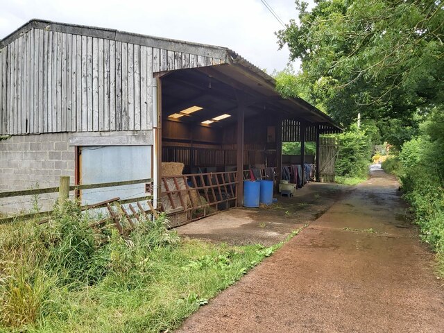
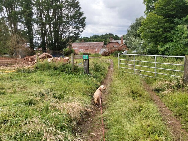
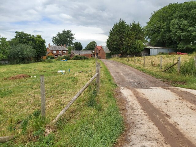
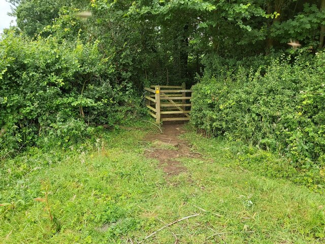
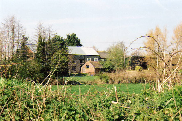
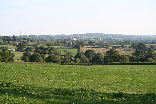
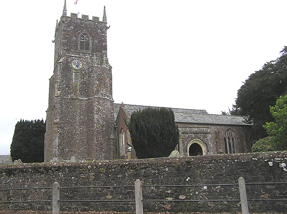
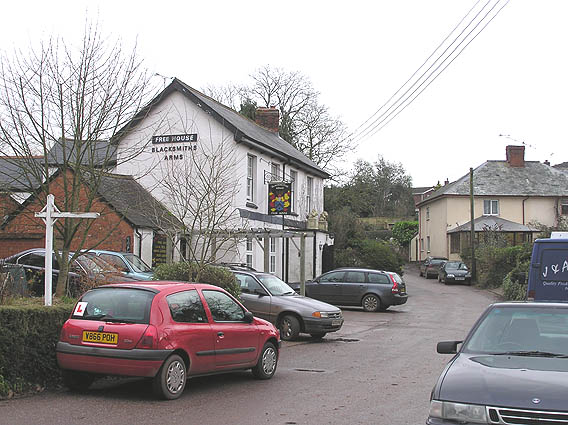
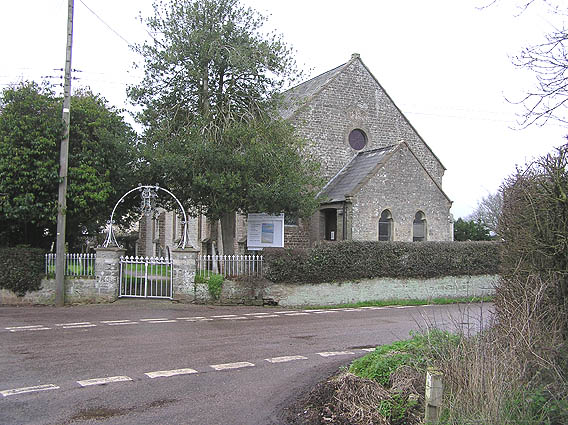
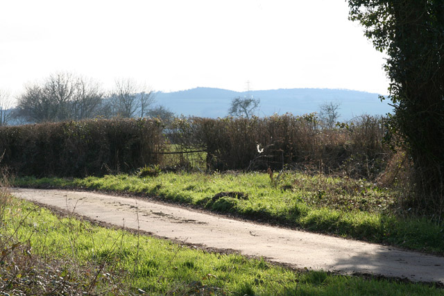
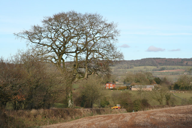
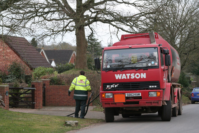
Norman's Green Images

Images are sourced within 2km of 50.823454/-3.340214 or Grid Reference ST0503. Thanks to Geograph Open Source API. All images are credited.

Wooden Footbridge over a Stream A wooden footbridge over a stream on the public footpath running between Clyst Hydon and Plymtree in Devon.
Wooden Footbridge over a Stream
A wooden footbridge over a stream on the public footpath running between Clyst Hydon and Plymtree in Devon.
Footpath through a Field A public footpath running across a grass field from Clyst Hydon to Plymtree in Devon.
Footpath through a Field
A public footpath running across a grass field from Clyst Hydon to Plymtree in Devon.
Footpath approaching Plymtree The public footpath leaves this sheep field and enters the village of Plymtree in Devon.
Footpath approaching Plymtree
The public footpath leaves this sheep field and enters the village of Plymtree in Devon.
Country lane leading into Plymtree Green End Lane on the western approach to the village of Plymtree in Devon.
Country lane leading into Plymtree
Green End Lane on the western approach to the village of Plymtree in Devon.
Horse Stables next to the Path Horse stables next to the public footpath that runs south from Plymtree to Peradon Farm in Devon.
Horse Stables next to the Path
Horse stables next to the public footpath that runs south from Plymtree to Peradon Farm in Devon.
Entrance to a Farm A metal gated entrance to Peradon Farm on the public footpath that runs from Plymtree in Devon.
Entrance to a Farm
A metal gated entrance to Peradon Farm on the public footpath that runs from Plymtree in Devon.
Entrance to a Farm A country lane leading to the entrance of Peradon Farm in Devon.
Entrance to a Farm
A country lane leading to the entrance of Peradon Farm in Devon.
Gate in the Corner of a Field A gate in the corner of a field on the public footpath running between Peradon Farm and Marsh Cross in Devon.
Gate in the Corner of a Field
A gate in the corner of a field on the public footpath running between Peradon Farm and Marsh Cross in Devon.
Cullompton: Higher Weaver Farm buildings by the river Weaver, one of which was once a water-powered mill. Seen from the back lane linking Cullompton and the A373
Cullompton: Higher Weaver
Farm buildings by the river Weaver, one of which was once a water-powered mill. Seen from the back lane linking Cullompton and the A373
Plymtree: view south south east towards Payhembury Looking from a point east of Plymtree village by the lane to Clyst William
Plymtree: view south south east towards Payhembury
Looking from a point east of Plymtree village by the lane to Clyst William
Plymtree parish church
Plymtree, the Blacksmith's Arms
Plymtree United Reformed Church, Normans Cross
Cullompton: lane at Haywood Cross Just west of Higher Weaver. Looking south west
Cullompton: lane at Haywood Cross
Just west of Higher Weaver. Looking south west
Plymtree: towards Wrights Farm Looking east with the Hembury ridge in the background
Plymtree: towards Wrights Farm
Looking east with the Hembury ridge in the background
Broadhembury: Colliton Moor Looking north
Broadhembury: Colliton Moor
Looking north
Plymtree: Middle Weaver Farm Looking east-north-east
Plymtree: Middle Weaver Farm
Looking east-north-east
Plymtree: oil delivery To a house nearly opposite The Old Rectory
Plymtree: oil delivery
To a house nearly opposite The Old Rectory
Show me another place!

Norman's Green is located at Grid Ref: ST0503 (Lat: 50.823454, Lng: -3.340214)

Administrative County: Devon

District: East Devon

Police Authority: Devon and Cornwall

What 3 Words

///copies.surfed.fastening. Near Cullompton, Devon

Nearby Locations

Norman's Green Fordmoor

Related Wikis

Tiverton and Honiton (UK Parliament constituency)

Tiverton and Honiton is a constituency in Devon, England. The current MP is Richard Foord of the Liberal Democrats, elected at a by-election on 23 June...

Plymtree

Plymtree is a small village and civil parish about 3.5 miles south of the town of Cullompton in the county of Devon, England. The parish is surrounded...

Clyst Hydon

Clyst Hydon is a village and civil parish in the county of Devon, England. It was in the Cliston Hundred and has a church dedicated to St Andrew. The parish...

Aller, Devon

Aller is a village in the civil parish of Kentisbeare in the historic county of Devon, England. Aller is situated about 2 miles (3.2 km) east of Cullompton...

Nearby Amenities

Located within 500m of 50.823454,-3.340214
Norman's Green
Place: hamlet
Lat/Long: 50.8239028/-3.3419099
Post Box
Lat/Long: 50.8237505/-3.3420557
Bus Stop
Bus: yes
Public Transport: platform
Lat/Long: 50.823832/-3.3416755
Addr City: Cullompton
Addr Housename: Bridge House
Addr Postcode: EX15 2LB
Addr Suburb: Plymtree
Lat/Long: 50.8214552/-3.3405846
Barrier: stile
Lat/Long: 50.8202923/-3.3400835
Generator Source: solar
Generator Type: solar_photovoltaic_panel
Power: generator
Lat/Long: 50.823008/-3.3427509
Generator Source: solar
Generator Type: solar_photovoltaic_panel
Power: generator
Lat/Long: 50.8231805/-3.3421349
Addr Housename: Fordmoor Cottages
Lat/Long: 50.8202993/-3.3395772
The data included in this document is from www.openstreetmap.org. The data is made available under ODbL.

Have you been to Norman's Green?

Leave your review of Norman's Green below (or comments, questions and feedback).