Flosh
Settlement in Dumfriesshire
Scotland
Flosh
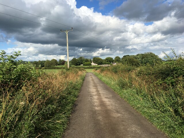
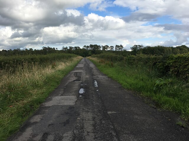
Flosh is a small village located in the Dumfriesshire region of Scotland. Situated approximately 3 miles northwest of Dumfries, it lies on the banks of the River Nith, offering picturesque views of the surrounding countryside. Flosh is known for its peaceful and rural atmosphere, making it an ideal place for those seeking tranquility away from the bustling city life.
The village is characterized by its traditional stone-built cottages, which add to its charm and historical appeal. The local community is close-knit, with a population of around 200 residents. The village has a strong sense of community spirit, hosting various events and gatherings throughout the year, including an annual summer fete and a Christmas market.
Although small in size, Flosh has a few amenities to cater to its residents. These include a village hall, which serves as a venue for social gatherings and events, and a small convenience store that provides essential groceries and household items. For more extensive shopping needs, residents typically travel to nearby Dumfries.
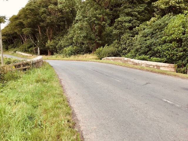
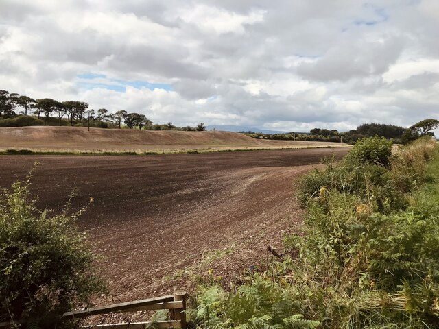
Nature enthusiasts are drawn to Flosh for its proximity to scenic walking trails and outdoor recreational areas. The village is surrounded by rolling hills and farmland, offering opportunities for hikers and nature lovers to explore the picturesque landscapes. Additionally, anglers are drawn to the River Nith, which is renowned for its salmon and trout fishing.
Overall, Flosh presents an idyllic countryside retreat, combining natural beauty, a strong community spirit, and a tranquil atmosphere.
If you have any feedback on the listing, please let us know in the comments section below.
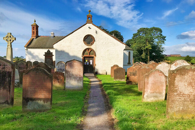
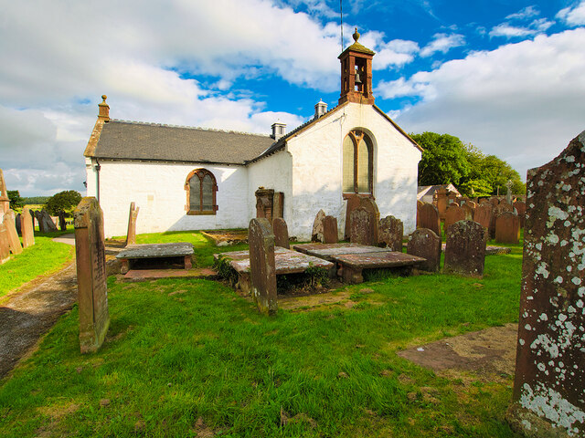
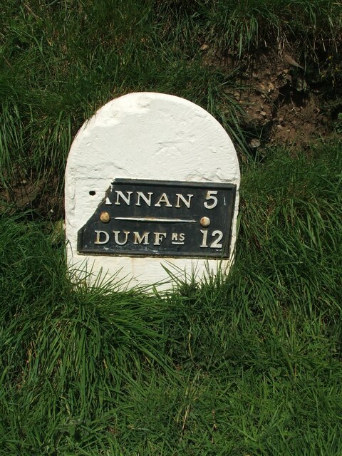
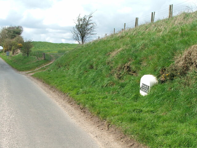
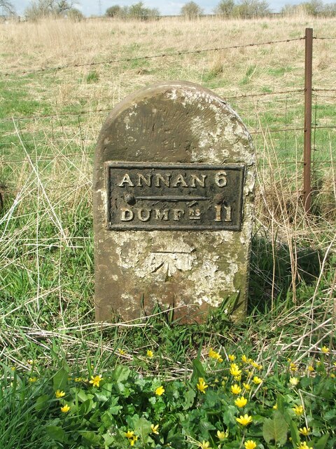
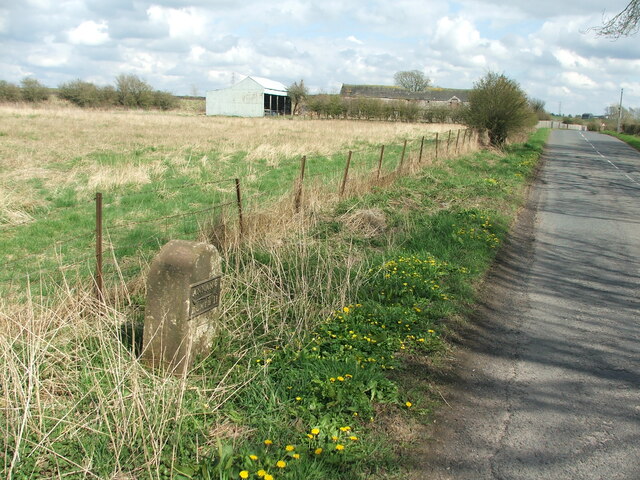
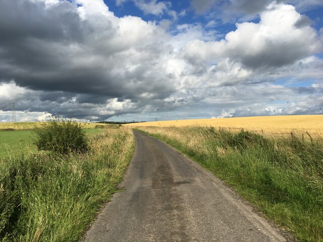
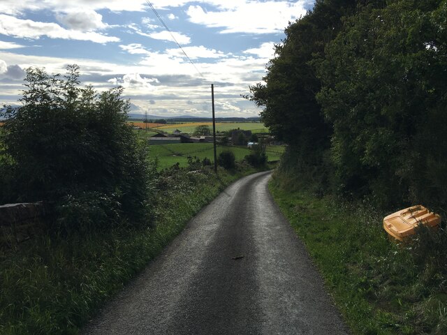
Flosh Images
Images are sourced within 2km of 54.997973/-3.3845543 or Grid Reference NY1167. Thanks to Geograph Open Source API. All images are credited.

Flosh is located at Grid Ref: NY1167 (Lat: 54.997973, Lng: -3.3845543)
Unitary Authority: Dumfries and Galloway
Police Authority: Dumfries and Galloway
What 3 Words
///adjuster.moved.consults. Near Annan, Dumfries & Galloway
Nearby Locations
Related Wikis

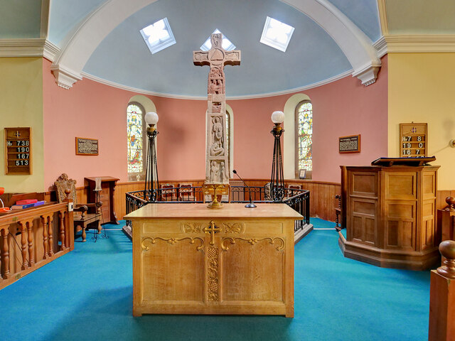
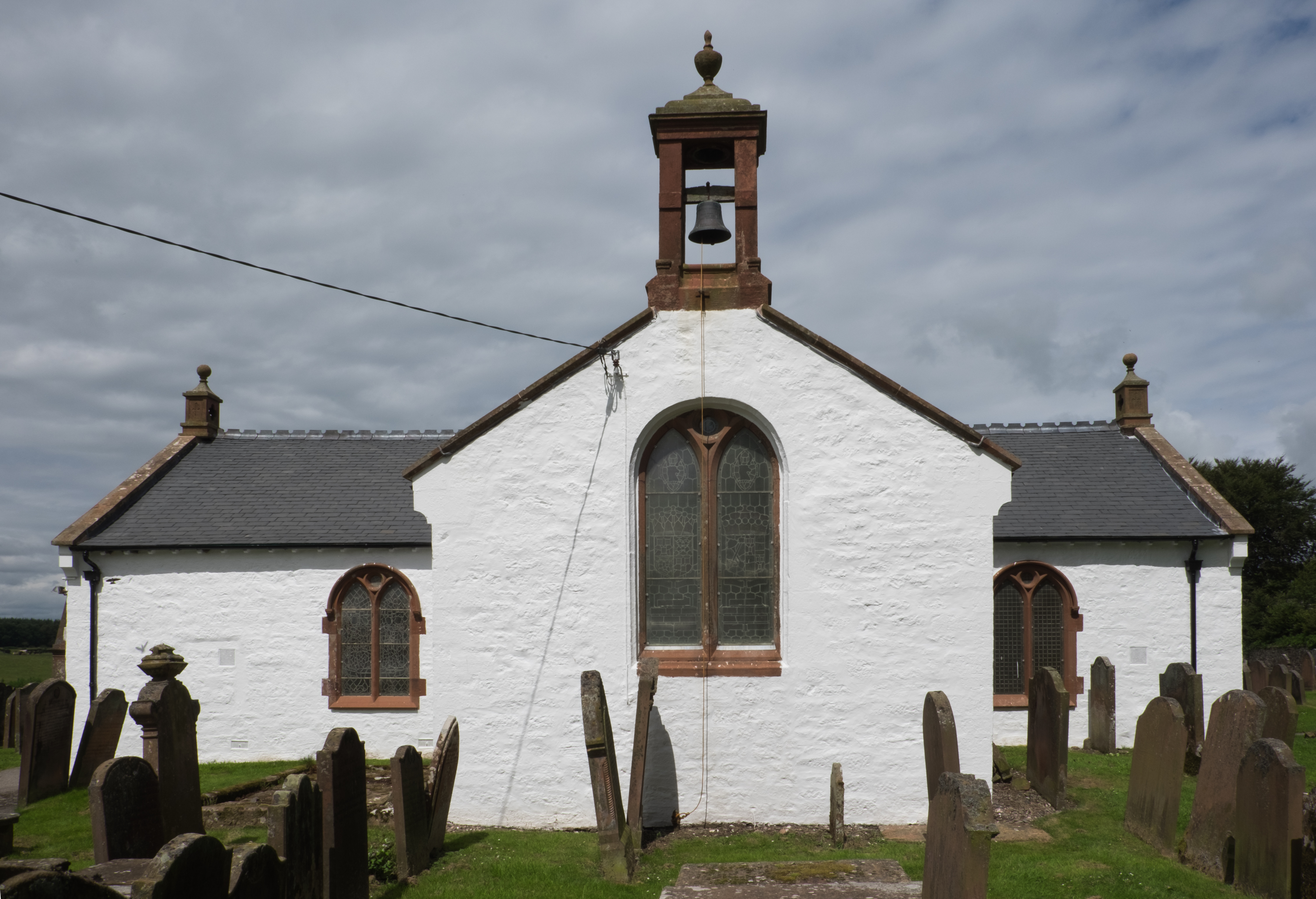
Ruthwell Cross
The Ruthwell Cross is a stone Anglo-Saxon cross probably dating from the 8th century, when the village of Ruthwell, now in Scotland, was part of the Anglo...
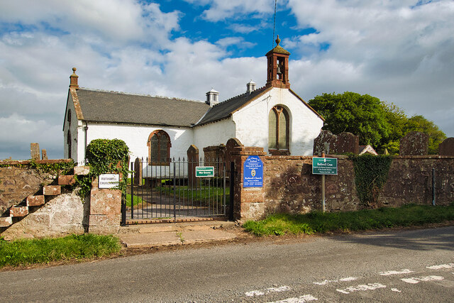
Ruthwell
Ruthwell is a village and parish on the Solway Firth between Dumfries and Annan in Dumfries and Galloway, Scotland. Thomas Randolph, Earl of Moray, gave...

Clarencefield
Clarencefield is a small village in Ruthwell Parish between Dumfries and Annan in Dumfries and Galloway, Scotland. It was once served by Ruthwell railway...
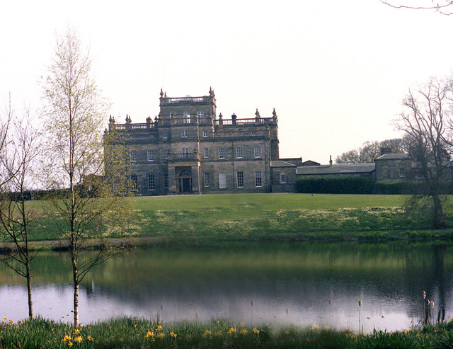
Kinmount House
Kinmount House is a 19th-century country house in the parish of Cummertrees in the historic county of Dumfriesshire in Dumfries and Galloway region, Scotland...
Nearby Amenities
Located within 500m of 54.997973,-3.3845543Have you been to Flosh?
Leave your review of Flosh below (or comments, questions and feedback).