Black Hill
Hill, Mountain in Dumfriesshire
Scotland
Black Hill
Black Hill is a prominent hill located in the county of Dumfriesshire, Scotland. Situated within the Southern Uplands, it stands at an elevation of approximately 569 meters (1,867 feet) above sea level. The hill is part of a larger range known as the Lowther Hills, which form a natural boundary between Dumfries and Galloway and the Scottish Borders.
Black Hill is characterized by its distinctive rounded shape and is made up of a mixture of grassy slopes and rocky outcrops. The hill's summit offers stunning panoramic views of the surrounding countryside, including the nearby towns of Wanlockhead and Leadhills.
The area surrounding Black Hill is rich in biodiversity, with a variety of plant and animal species. The hill is particularly known for its heather moorland, which provides a habitat for numerous bird species, including red grouse and golden plover. It is also home to a diverse range of mammals, such as red deer and mountain hares.
The hill is a popular destination for outdoor enthusiasts, offering opportunities for walking, hiking, and wildlife spotting. Several well-marked trails lead to the summit, providing visitors with the chance to explore the natural beauty of the area.
Overall, Black Hill is a stunning natural landmark in Dumfriesshire, offering breathtaking views, diverse wildlife, and outdoor recreational activities for locals and visitors alike.
If you have any feedback on the listing, please let us know in the comments section below.
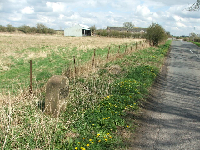
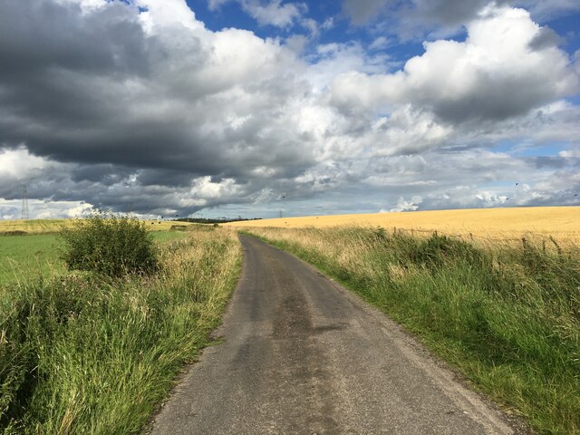
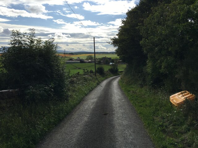
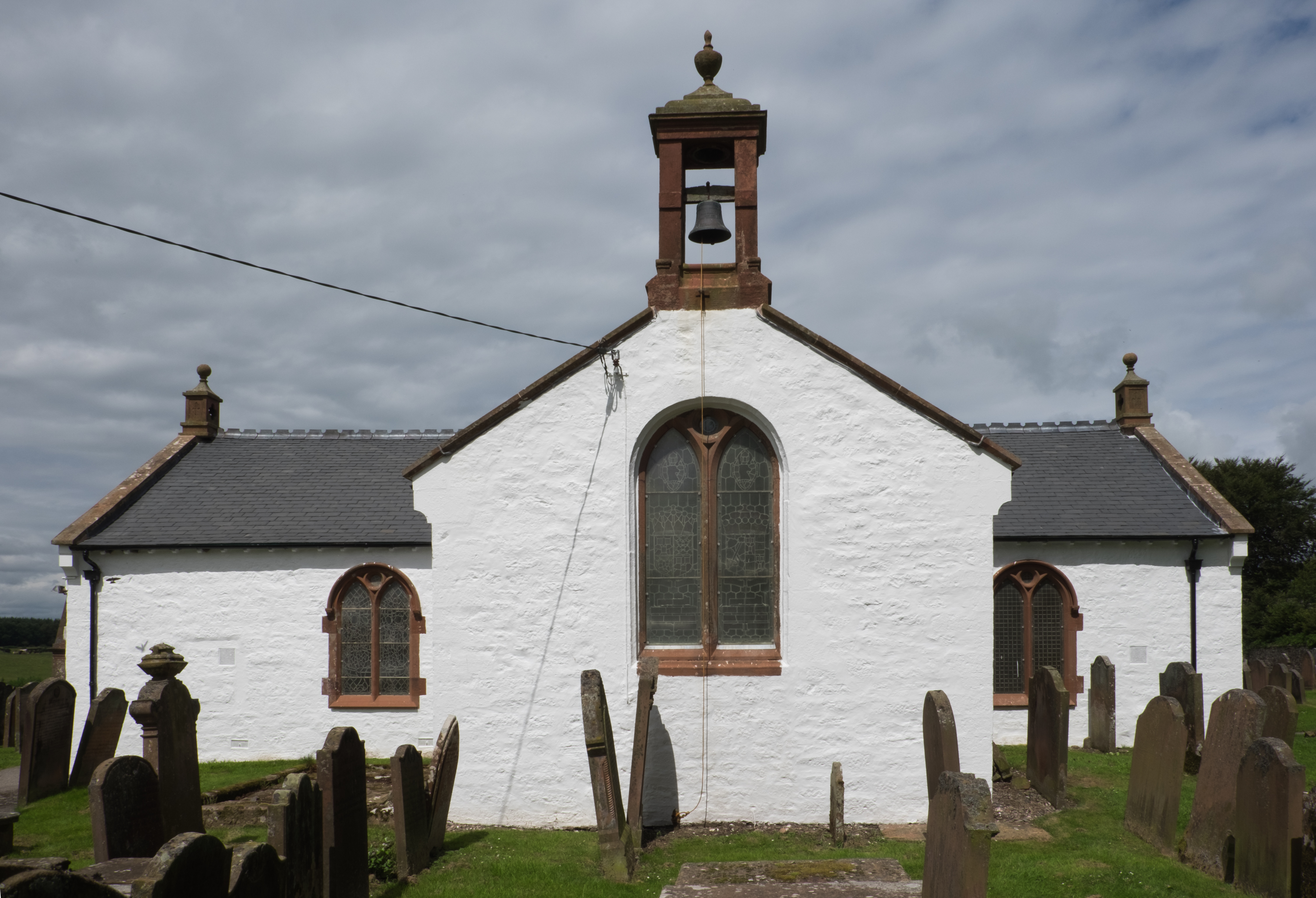
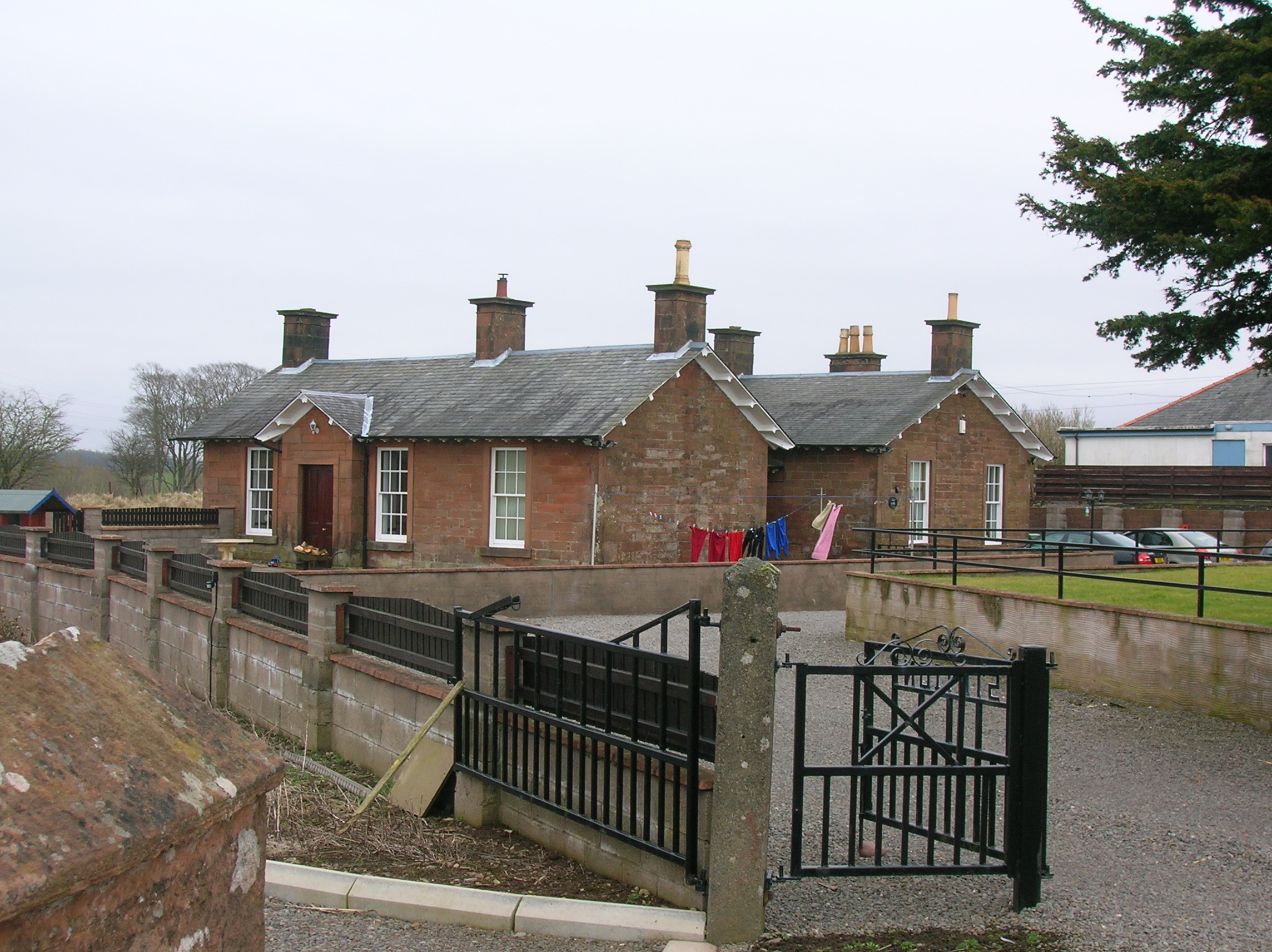
Black Hill Images
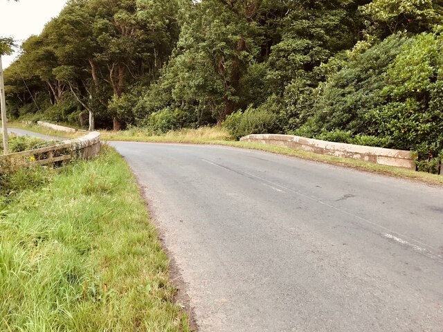
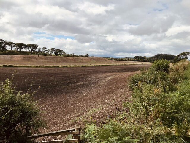
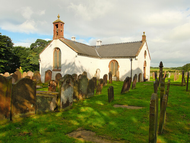
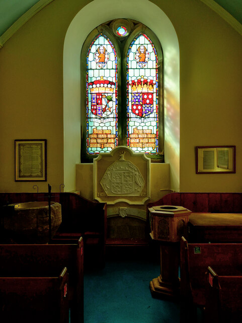
Images are sourced within 2km of 54.990166/-3.3826913 or Grid Reference NY1167. Thanks to Geograph Open Source API. All images are credited.


Black Hill is located at Grid Ref: NY1167 (Lat: 54.990166, Lng: -3.3826913)
Unitary Authority: Dumfries and Galloway
Police Authority: Dumfries and Galloway
What 3 Words
///chucked.dodging.spirit. Near Annan, Dumfries & Galloway
Nearby Locations
Related Wikis
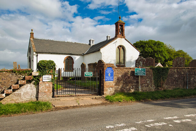
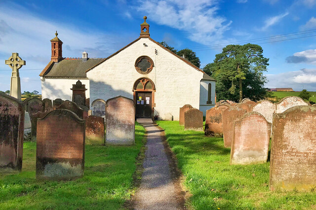
Ruthwell
Ruthwell is a village and parish on the Solway Firth between Dumfries and Annan in Dumfries and Galloway, Scotland. Thomas Randolph, Earl of Moray, gave...

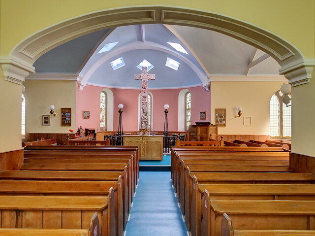
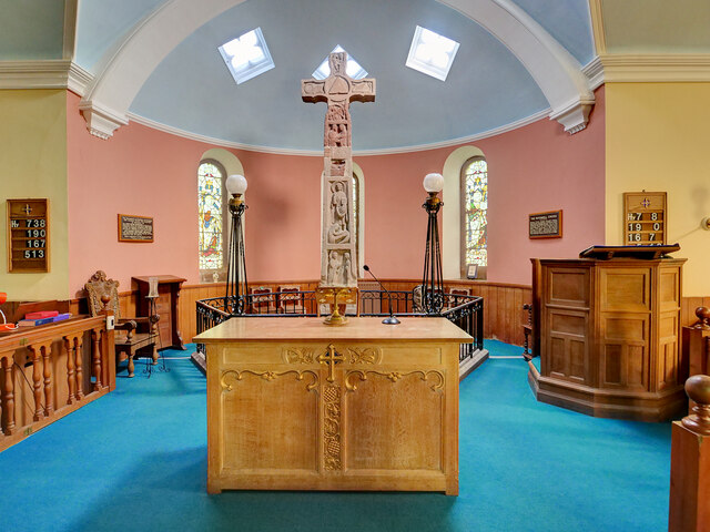
Ruthwell Cross
The Ruthwell Cross is a stone Anglo-Saxon cross probably dating from the 8th century, when the village of Ruthwell, now in Scotland, was part of the Anglo...
Cummertrees railway station
Cummertrees railway station was a railway station in Dumfries and Galloway south of Dumfries, serving the village of Cummertrees. The village lies some...
Cummertrees
Cummertrees is a coastal village and civil parish of Annandale in the historical county of Dumfriesshire in Dumfries and Galloway. It lies about 1 mile...
Nearby Amenities
Located within 500m of 54.990166,-3.3826913Have you been to Black Hill?
Leave your review of Black Hill below (or comments, questions and feedback).