Flotterton

Settlement in Northumberland

England

Flotterton

View over upper Coquetdale View from the slopes of Simonside over upper Coquetdale with the lake formed from an old gravel pit visible in the floor of the valley. Little Tosson Farm <a href="https://www.geograph.org.uk/gridref/NU0101">NU0101</a> is on this side of the lake. Cheviot Hills in the distance.
View over upper Coquetdale Credit: Oliver Dixon

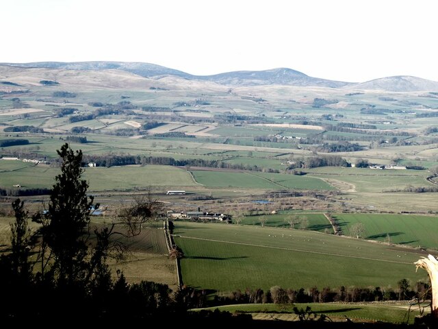
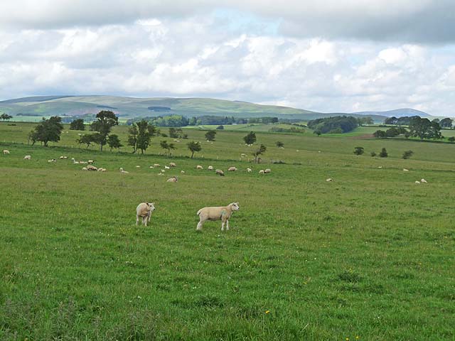
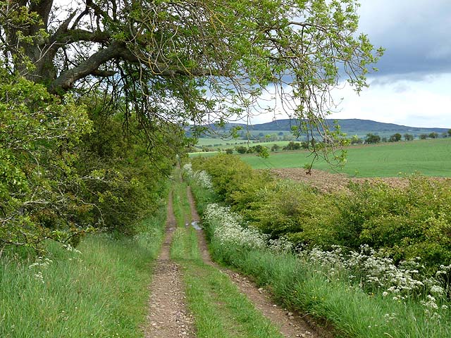
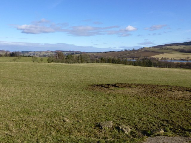
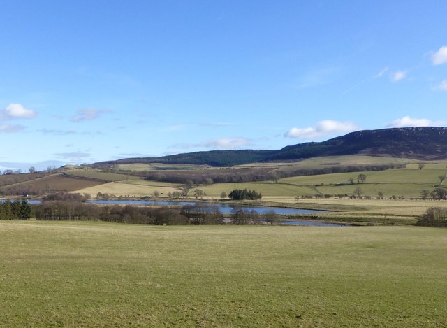
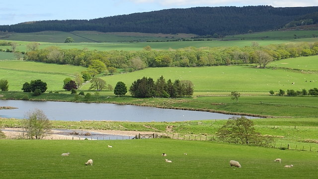
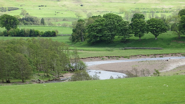
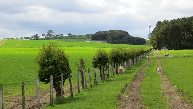
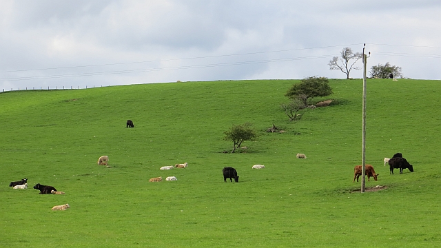
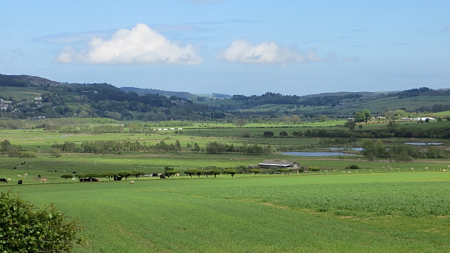
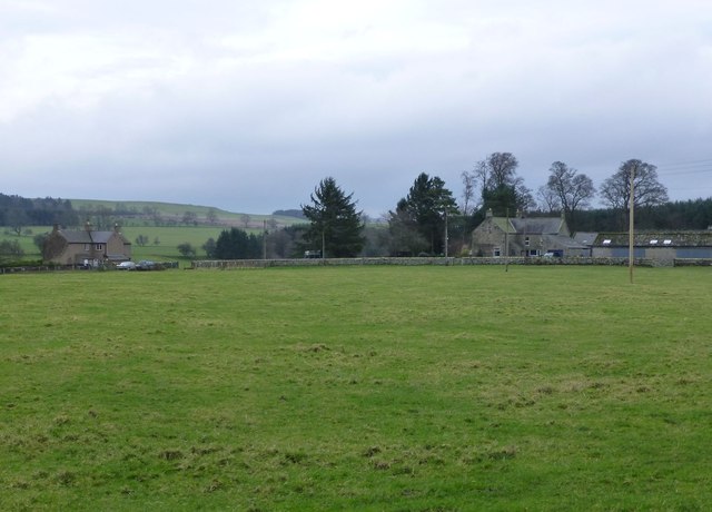
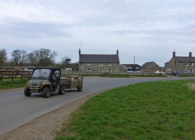
Flotterton is a charming village situated in the county of Northumberland, in the northeast of England. Tucked away in the picturesque landscape of the North Pennines, this small village is home to approximately 150 residents. Flotterton is located about 10 miles west of Morpeth, the nearest town, and is surrounded by rolling hills, dense woodlands, and tranquil streams.

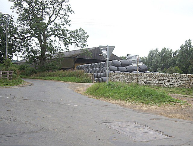
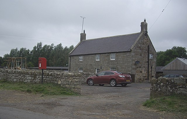
The village itself consists of a cluster of traditional stone-built cottages that exude a sense of English countryside charm. Flotterton's rural setting provides a peaceful and idyllic atmosphere, making it a popular destination for those seeking a quiet retreat away from the hustle and bustle of city life.

Despite its small size, Flotterton boasts a strong sense of community, with residents often organizing social events and activities for everyone to enjoy. The village is also home to a historic church, St. Margaret's, which dates back to the 12th century and serves as a focal point for the community.

Flotterton's location within the Northumberland countryside offers plenty of opportunities for outdoor enthusiasts. The surrounding area provides numerous walking and hiking trails, allowing visitors to explore the natural beauty of the North Pennines. Additionally, the nearby Simonside Hills offer breathtaking views of the surrounding landscape.

Overall, Flotterton is a charming and peaceful village that offers a true taste of rural Northumberland. Its beautiful surroundings and close-knit community make it an ideal destination for those seeking a tranquil getaway in the heart of the English countryside.

If you have any feedback on the listing, please let us know in the comments section below.
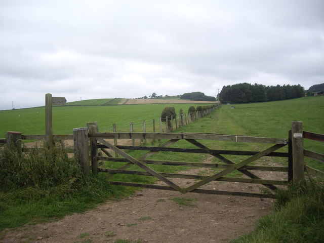
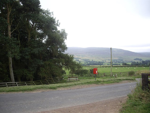
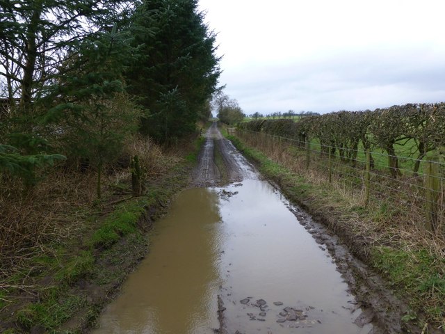
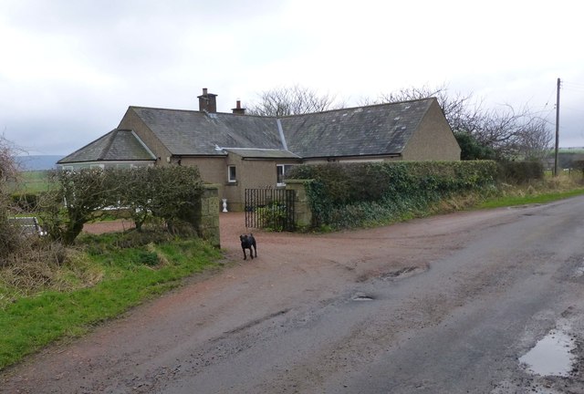
Flotterton Images

Images are sourced within 2km of 55.316084/-2.0046039 or Grid Reference NT9902. Thanks to Geograph Open Source API. All images are credited.

View over upper Coquetdale View from the slopes of Simonside over upper Coquetdale with the lake formed from an old gravel pit visible in the floor of the valley. Little Tosson Farm <a href="https://www.geograph.org.uk/gridref/NU0101">NU0101</a> is on this side of the lake. Cheviot Hills in the distance.
View over upper Coquetdale
View from the slopes of Simonside over upper Coquetdale with the lake formed from an old gravel pit visible in the floor of the valley. Little Tosson Farm NU0101 is on this side of the lake. Cheviot Hills in the distance.
Sheep in the field near Plainfield. The Cheviots can be seen on the skyline. It is just possible to make out the scar of Biddlestone Quarry <a href="https://www.geograph.org.uk/gridref/NT9608">NT9608</a> to the left at the foot of the hills.
Sheep in the field near Plainfield.
The Cheviots can be seen on the skyline. It is just possible to make out the scar of Biddlestone Quarry NT9608 to the left at the foot of the hills.
Old public road to Low Trewhitt Long Crag <a href="https://www.geograph.org.uk/gridref/NU0606">NU0606</a> can be seen on the skyline.
Old public road to Low Trewhitt
Long Crag NU0606 can be seen on the skyline.
View across pasture To Caistron Nature Reserve beyond the River Coquet.
Simonside Hills on the right.
View across pasture
To Caistron Nature Reserve beyond the River Coquet. Simonside Hills on the right.
Pasture beside the River Coquet The Caistron Nature Reserve formed in the wet pits left after extraction of gravel lies across the river.
Simonside Hills in the distance.
Pasture beside the River Coquet
The Caistron Nature Reserve formed in the wet pits left after extraction of gravel lies across the river. Simonside Hills in the distance.
Gravel pits, Caistron Flooded gravel pits on the Coquet flood plain.  The subsequent lough is now a trout fishery.
Gravel pits, Caistron
Flooded gravel pits on the Coquet flood plain. The subsequent lough is now a trout fishery.
River Coquet Upstream of the gravel pits at Caistron.
River Coquet
Upstream of the gravel pits at Caistron.
Farm track, Caistron
Former hedgerow Hillside above Caistron where a few surviving thorn trees show where there was once a field boundary.
Former hedgerow
Hillside above Caistron where a few surviving thorn trees show where there was once a field boundary.
Field, Coquetdale View downstream from the B6341.
Field, Coquetdale
View downstream from the B6341.
Road junction at Flotterton Mill Minor road to Harbottle, off B6341 (Thropton to Hepple).
Road junction at Flotterton Mill
Minor road to Harbottle, off B6341 (Thropton to Hepple).
Flotterton on B6341 House and rural postbox.
Flotterton on B6341
House and rural postbox.
Shut the gate! A 5-bar wooden gate on the public pathway between Caistron and Low Farnham, where the path crosses the B9361 (rothbury to Otterburn road).
Shut the gate!
A 5-bar wooden gate on the public pathway between Caistron and Low Farnham, where the path crosses the B9361 (rothbury to Otterburn road).
Rural postbox, Caistron At a lane junction with the B6341.
Rural postbox, Caistron
At a lane junction with the B6341.
Public byway to Low Farnham This was as far as we went!
Public byway to Low Farnham
This was as far as we went!
The Bungalow at Plainfield The resident dog comes to check out the geograph-er.
The Bungalow at Plainfield
The resident dog comes to check out the geograph-er.
Houses at Plainfield Between the pastures.
Houses at Plainfield
Between the pastures.
Sheep on the move  At Flotterton.
Sheep on the move
At Flotterton.
Show me another place!

Flotterton is located at Grid Ref: NT9902 (Lat: 55.316084, Lng: -2.0046039)

Unitary Authority: Northumberland

Police Authority: Northumbria

What 3 Words

///salmon.latched.venues. Near Rothbury, Northumberland

Nearby Locations

Flotterton

Related Wikis

Hepple

Hepple is a small village and parish in rural Northumberland, 4 miles (6.4 km) west of Rothbury, which provides most of its local services. It is on the...

Snitter

Snitter is a village and civil parish in Northumberland, England. It is near the Northumberland National Park. The closest town is Rothbury. == Governance... ==

Reivers Way

The Reivers Way is a long-distance footpath in Northumberland, passing through the Northumberland National Park and the Cheviot Hills. Totalling 242 kilometres...

Thropton

Thropton is a hamlet in Northumberland, England, located on the River Coquet, and its tributary Wreigh Burn. With a population of 458 (2011 census) it...

Nearby Amenities

Located within 500m of 55.316084,-2.0046039
Flotterton
Place: hamlet
Lat/Long: 55.3160039/-2.0034293
Post Box
Brand: Royal Mail
Brand Wikidata: Q638098
Mapillary: 200513145232431
Operator: Royal Mail
Operator Wikidata: Q638098
Post Box Mounting: pier
Post Box Type: lamp
Ref: NE65 125
Survey Date: 2020-02-17
Lat/Long: 55.3162358/-2.0044763
Power: pole
Source: Bing
Lat/Long: 55.3167157/-2.0025443
Power: pole
Source: Bing
Lat/Long: 55.316814/-2.004791
Power: pole
Source: Bing
Lat/Long: 55.3178258/-2.0015044
Power: pole
Source: Bing
Lat/Long: 55.3173161/-2.0031381
Power: pole
Source: Bing
Lat/Long: 55.3183738/-1.9997478
Power: pole
Source: Bing
Lat/Long: 55.3166967/-2.0033342
Power: pole
Source: Bing
Lat/Long: 55.3167491/-2.0011532
Power: pole
Source: Bing
Lat/Long: 55.3167336/-2.0017999
Power: pole
Source: Bing
Lat/Long: 55.3166781/-2.004105
The data included in this document is from www.openstreetmap.org. The data is made available under ODbL.

Have you been to Flotterton?

Leave your review of Flotterton below (or comments, questions and feedback).