Fleeden

Settlement in Kent Ashford

England

Fleeden

Wetland Wood
Wetland Wood Credit: N Chadwick

Fleeden is a small village located in the county of Kent, in southeastern England. Situated approximately 10 miles southwest of the city of Canterbury, Fleeden is nestled amidst the picturesque countryside landscape that characterizes the region. With a population of around 500 residents, it maintains a close-knit and welcoming community atmosphere.

The village dates back to medieval times and is known for its rich historical heritage. St. Mary's Church, a beautiful medieval church with intricate architectural details, stands as a prominent landmark in the heart of the village. The church serves as both a place of worship and a site of historical interest, attracting visitors from near and far.

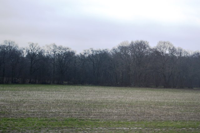
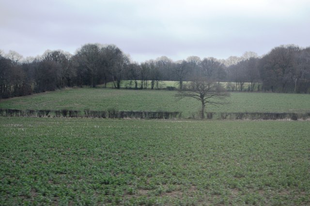
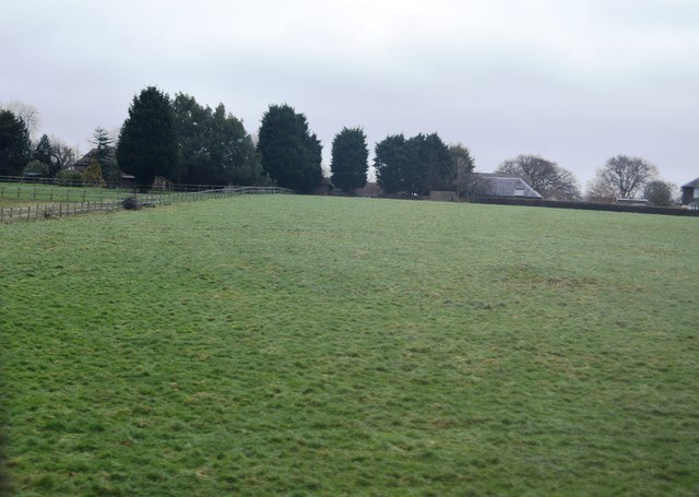
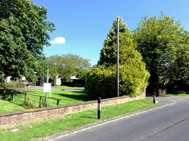
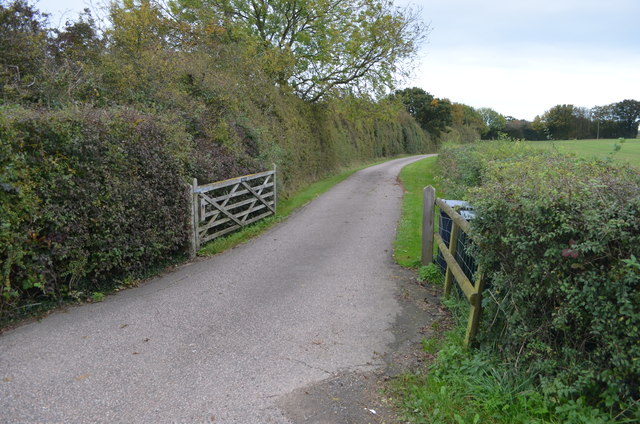
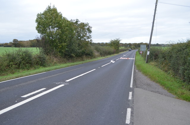
Fleeden benefits from its rural setting, with rolling hills, lush green fields, and charming country lanes providing an idyllic backdrop for outdoor activities. The village is surrounded by several nature reserves and parks, offering opportunities for hiking, cycling, and wildlife spotting.

While primarily an agricultural community, Fleeden also boasts a few local businesses that cater to the needs of its residents. These include a cozy village pub, a small grocery store, and a post office. For additional amenities and services, residents often rely on nearby towns such as Canterbury or Ashford.

Overall, Fleeden is a quaint and peaceful village that offers a tranquil escape from the hustle and bustle of city life. Its historical charm, natural beauty, and tight-knit community make it a cherished place to live or visit in the picturesque county of Kent.

If you have any feedback on the listing, please let us know in the comments section below.

Fleeden Images

Images are sourced within 2km of 51.135333/0.80202325 or Grid Reference TQ9641. Thanks to Geograph Open Source API. All images are credited.

Wetland Wood
Wetland Wood
Tree in a hedge
Tree in a hedge
Two trees in a hedge
Grazing by Ashford Rd
Bevenden House
Bevenden House
Barn Conversion, Lodge Place
Flat farmland by Ashford Rd
Farmland, Chilmington Green Road This will form part of a vast development, to be known as Chilmington Green, for which planning permission has been granted by Ashford Borough Council under application number 12/00400/AS. This is  an “outline application for a Comprehensive Mixed Use Development comprising: up to 5,750 residential units, in a mix of sizes, types and tenures; up to 10,000 m² (gross external floor space) of Class Bl use; up to 9,000 m² (gross external floor space) of Class Al to A5 uses; Education (including a secondary school of up to 8 ha and up to four primary schools of up to 2.1 ha each); Community Uses (class Dl) up to 7,000 m² (gross external floor space); Leisure Uses (class D2) up to 6,000 m² (gross external floor space); Provision of local recycling facilities; Provision of areas of formal and informal open space; Installation of appropriate utilities infrastructure as required to serve the development, including flood attenuation works, SUDS, water supply and wastewater infrastructure, gas supply, electricity supply (including substations), telecommunications infrastructure and renewable energy infrastructure (including CHP in the District Centre); Transport infrastructure, including provision of three accesses on to the A28, an access on to Coulter Road/Cuckoo Lane, other connections on to the local road network, and a network of internal roads, footpaths and cycle routes; New planting and landscaping, both within the Proposed Development and on its boundaries, and ecological enhancement works; and associated ground works where appearance, landscaping, layout and scale are reserved for future approval and where access is reserved for future approval with the exception of the three accesses on to the A28 and the access on to Coulter Road/Cuckoo Lane”.

Here, there is a footpath crossing a harvested field.
Farmland, Chilmington Green Road
This will form part of a vast development, to be known as Chilmington Green, for which planning permission has been granted by Ashford Borough Council under application number 12/00400/AS. This is an “outline application for a Comprehensive Mixed Use Development comprising: up to 5,750 residential units, in a mix of sizes, types and tenures; up to 10,000 m² (gross external floor space) of Class Bl use; up to 9,000 m² (gross external floor space) of Class Al to A5 uses; Education (including a secondary school of up to 8 ha and up to four primary schools of up to 2.1 ha each); Community Uses (class Dl) up to 7,000 m² (gross external floor space); Leisure Uses (class D2) up to 6,000 m² (gross external floor space); Provision of local recycling facilities; Provision of areas of formal and informal open space; Installation of appropriate utilities infrastructure as required to serve the development, including flood attenuation works, SUDS, water supply and wastewater infrastructure, gas supply, electricity supply (including substations), telecommunications infrastructure and renewable energy infrastructure (including CHP in the District Centre); Transport infrastructure, including provision of three accesses on to the A28, an access on to Coulter Road/Cuckoo Lane, other connections on to the local road network, and a network of internal roads, footpaths and cycle routes; New planting and landscaping, both within the Proposed Development and on its boundaries, and ecological enhancement works; and associated ground works where appearance, landscaping, layout and scale are reserved for future approval and where access is reserved for future approval with the exception of the three accesses on to the A28 and the access on to Coulter Road/Cuckoo Lane”. Here, there is a footpath crossing a harvested field.
Chilmington Green Road Opposite the row of trees another access/exit road into the Chilmington Green development has been created.

Planning permission has been granted by Ashford Borough Council under application number 12/00400/AS, for an “outline application for a Comprehensive Mixed Use Development comprising: up to 5,750 residential units, in a mix of sizes, types and tenures; up to 10,000 m² (gross external floor space) of Class Bl use; up to 9,000 m² (gross external floor space) of Class Al to A5 uses; Education (including a secondary school of up to 8 ha and up to four primary schools of up to 2.1 ha each); Community Uses (class Dl) up to 7,000 m² (gross external floor space); Leisure Uses (class D2) up to 6,000 m² (gross external floor space); Provision of local recycling facilities; Provision of areas of formal and informal open space; Installation of appropriate utilities infrastructure as required to serve the development, including flood attenuation works, SUDS, water supply and wastewater infrastructure, gas supply, electricity supply (including substations), telecommunications infrastructure and renewable energy infrastructure (including CHP in the District Centre); Transport infrastructure, including provision of three accesses on to the A28, an access on to Coulter Road/Cuckoo Lane, other connections on to the local road network, and a network of internal roads, footpaths and cycle routes; New planting and landscaping, both within the Proposed Development and on its boundaries, and ecological enhancement works; and associated ground works where appearance, landscaping, layout and scale are reserved for future approval and where access is reserved for future approval with the exception of the three accesses on to the A28 and the access on to Coulter Road/Cuckoo Lane”.
Chilmington Green Road
Opposite the row of trees another access/exit road into the Chilmington Green development has been created. Planning permission has been granted by Ashford Borough Council under application number 12/00400/AS, for an “outline application for a Comprehensive Mixed Use Development comprising: up to 5,750 residential units, in a mix of sizes, types and tenures; up to 10,000 m² (gross external floor space) of Class Bl use; up to 9,000 m² (gross external floor space) of Class Al to A5 uses; Education (including a secondary school of up to 8 ha and up to four primary schools of up to 2.1 ha each); Community Uses (class Dl) up to 7,000 m² (gross external floor space); Leisure Uses (class D2) up to 6,000 m² (gross external floor space); Provision of local recycling facilities; Provision of areas of formal and informal open space; Installation of appropriate utilities infrastructure as required to serve the development, including flood attenuation works, SUDS, water supply and wastewater infrastructure, gas supply, electricity supply (including substations), telecommunications infrastructure and renewable energy infrastructure (including CHP in the District Centre); Transport infrastructure, including provision of three accesses on to the A28, an access on to Coulter Road/Cuckoo Lane, other connections on to the local road network, and a network of internal roads, footpaths and cycle routes; New planting and landscaping, both within the Proposed Development and on its boundaries, and ecological enhancement works; and associated ground works where appearance, landscaping, layout and scale are reserved for future approval and where access is reserved for future approval with the exception of the three accesses on to the A28 and the access on to Coulter Road/Cuckoo Lane”.
Building site Viewed from near an access/exit road into the Chilmington Green development from <a href="https://www.geograph.org.uk/photo/6874543">TQ9739 : Chilmington Green Road</a>. 

Planning permission has been granted by Ashford Borough Council under application number 12/00400/AS, for an “outline application for a Comprehensive Mixed Use Development comprising: up to 5,750 residential units, in a mix of sizes, types and tenures; up to 10,000 m² (gross external floor space) of Class Bl use; up to 9,000 m² (gross external floor space) of Class Al to A5 uses; Education (including a secondary school of up to 8 ha and up to four primary schools of up to 2.1 ha each); Community Uses (class Dl) up to 7,000 m² (gross external floor space); Leisure Uses (class D2) up to 6,000 m² (gross external floor space); Provision of local recycling facilities; Provision of areas of formal and informal open space; Installation of appropriate utilities infrastructure as required to serve the development, including flood attenuation works, SUDS, water supply and wastewater infrastructure, gas supply, electricity supply (including substations), telecommunications infrastructure and renewable energy infrastructure (including CHP in the District Centre); Transport infrastructure, including provision of three accesses on to the A28, an access on to Coulter Road/Cuckoo Lane, other connections on to the local road network, and a network of internal roads, footpaths and cycle routes; New planting and landscaping, both within the Proposed Development and on its boundaries, and ecological enhancement works; and associated ground works where appearance, landscaping, layout and scale are reserved for future approval and where access is reserved for future approval with the exception of the three accesses on to the A28 and the access on to Coulter Road/Cuckoo Lane”.
Building site
Viewed from near an access/exit road into the Chilmington Green development from TQ9739 : Chilmington Green Road. Planning permission has been granted by Ashford Borough Council under application number 12/00400/AS, for an “outline application for a Comprehensive Mixed Use Development comprising: up to 5,750 residential units, in a mix of sizes, types and tenures; up to 10,000 m² (gross external floor space) of Class Bl use; up to 9,000 m² (gross external floor space) of Class Al to A5 uses; Education (including a secondary school of up to 8 ha and up to four primary schools of up to 2.1 ha each); Community Uses (class Dl) up to 7,000 m² (gross external floor space); Leisure Uses (class D2) up to 6,000 m² (gross external floor space); Provision of local recycling facilities; Provision of areas of formal and informal open space; Installation of appropriate utilities infrastructure as required to serve the development, including flood attenuation works, SUDS, water supply and wastewater infrastructure, gas supply, electricity supply (including substations), telecommunications infrastructure and renewable energy infrastructure (including CHP in the District Centre); Transport infrastructure, including provision of three accesses on to the A28, an access on to Coulter Road/Cuckoo Lane, other connections on to the local road network, and a network of internal roads, footpaths and cycle routes; New planting and landscaping, both within the Proposed Development and on its boundaries, and ecological enhancement works; and associated ground works where appearance, landscaping, layout and scale are reserved for future approval and where access is reserved for future approval with the exception of the three accesses on to the A28 and the access on to Coulter Road/Cuckoo Lane”.
Ashford Road (A28) in 1985 An evening photo with lengthening shadows.
Ashford Road (A28) in 1985
An evening photo with lengthening shadows.
Bethersden, Spicer's Hill Bethersden, Spicer's Hill, Ashford Road, A28, Lodge Place.
Bethersden, Spicer's Hill
Bethersden, Spicer's Hill, Ashford Road, A28, Lodge Place.
Bethersden, Spicer's Hill Bethersden, Spicer's Hill, Ashford Road, A28, Lodge Place.
Bethersden, Spicer's Hill
Bethersden, Spicer's Hill, Ashford Road, A28, Lodge Place.
Bethersden, Spicer's Hill Bethersden, Spicer's Hill, Ashford Road, A28, Lodge Place.
Bethersden, Spicer's Hill
Bethersden, Spicer's Hill, Ashford Road, A28, Lodge Place.
Bethersden Road towards the A28
Entrance drive to Possingham Farm house Off the A28.
Entrance drive to Possingham Farm house
Off the A28.
A28 towards Ashford
A28 towards Ashford
Sheep Mostly Lying Down Probably belonging to Pear Tree Farm, in the distance.
Sheep Mostly Lying Down
Probably belonging to Pear Tree Farm, in the distance.
Show me another place!

Fleeden is located at Grid Ref: TQ9641 (Lat: 51.135333, Lng: 0.80202325)

Administrative County: Kent

District: Ashford

Police Authority: Kent

What 3 Words

///lonely.sprinter.deposits. Near Shadoxhurst, Kent

Nearby Locations

Purchase Wood Fleeden

Related Wikis

RAF Ashford

Royal Air Force Ashford or more simply RAF Ashford is a former Royal Air Force Advanced Landing Ground in Kent, England. The landing ground is located...

Hoad's Wood

Hoad's Wood is an 80.5-hectare (199-acre) biological Site of Special Scientific Interest west of Ashford in Kent.Natural England described the woodland...

Chilmington Green

Chilmington Green was a hamlet on the edge of the Kentish Weald comprising 10 listed buildings. It is south-west of the town of Ashford. The population...

Ashford Community Woodland

Ashford Community Woodland is a 13.8-hectare (34-acre) Local Nature Reserve on the western outskirts of Ashford in Kent. It is owned and managed by Ashford...

Great Chart

Great Chart is a village and former civil parish, now in the parish of Great Chart with Singleton, in the Ashford borough of Kent, England. The parish...

Great Chart with Singleton

Great Chart with Singleton is a civil parish in the Ashford district of Kent, England. The parish population is mostly concentrated in the ancient village...

Singleton, Kent

Singleton is a suburb of Ashford in Kent, South East England, first developed in the 1980s. Although Singleton forms a contiguous urban area with the large...

Stubbs Cross

Stubbs Cross is a hamlet in the civil parish of Kingsnorth near Ashford in Kent, England. The area runs from a cross road at Ashford Road that leads to...

Nearby Amenities

Located within 500m of 51.135333,0.80202325
Post Box
Postal Code: TN26
Ref: TN26 233
Source: survey
Lat/Long: 51.1380046/0.7967408
Daniel's Water
Place: hamlet
Lat/Long: 51.1378403/0.7972057
The data included in this document is from www.openstreetmap.org. The data is made available under ODbL.

Have you been to Fleeden?

Leave your review of Fleeden below (or comments, questions and feedback).