Filching

Settlement in Sussex Wealden

England

Filching

Field of barley on the west side of Bourne Hill
Field of barley on the west side of Bourne Hill Credit: Ian Cunliffe

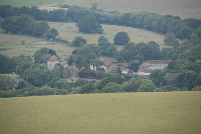
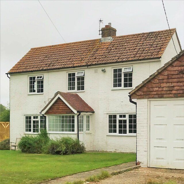
Filching is a small village located in the county of Sussex, in the southeastern part of England. It is situated approximately 7 miles northwest of the coastal town of Eastbourne and about 5 miles northeast of the larger town of Lewes. With a population of just over 100 people, Filching is a quaint and picturesque village known for its rural charm and scenic beauty.

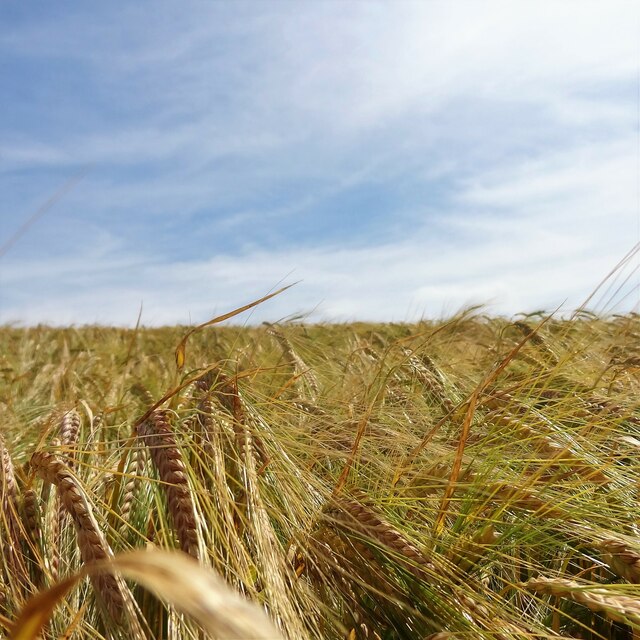
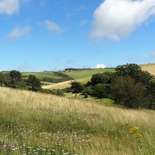
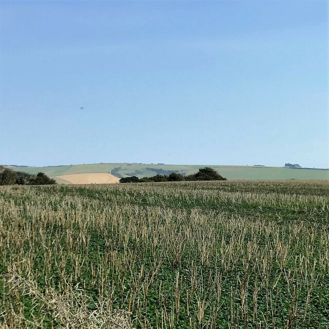
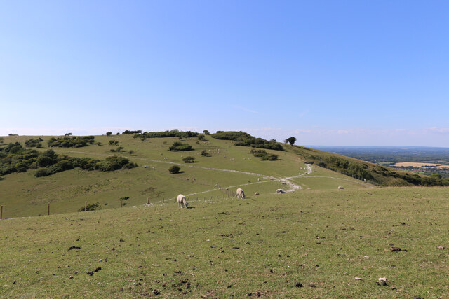
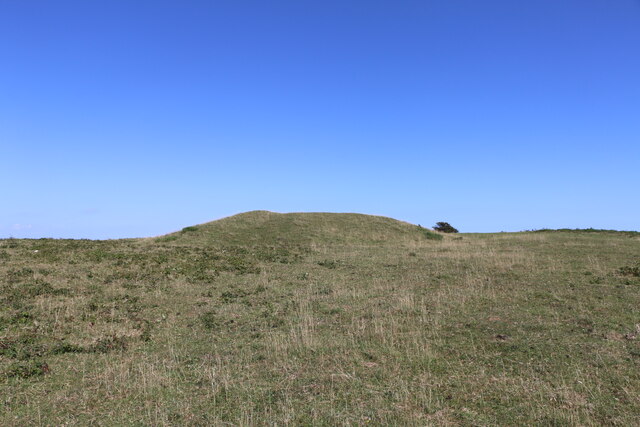
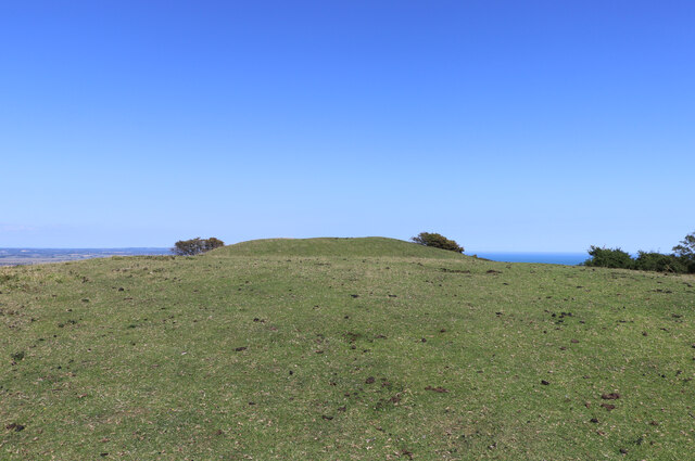
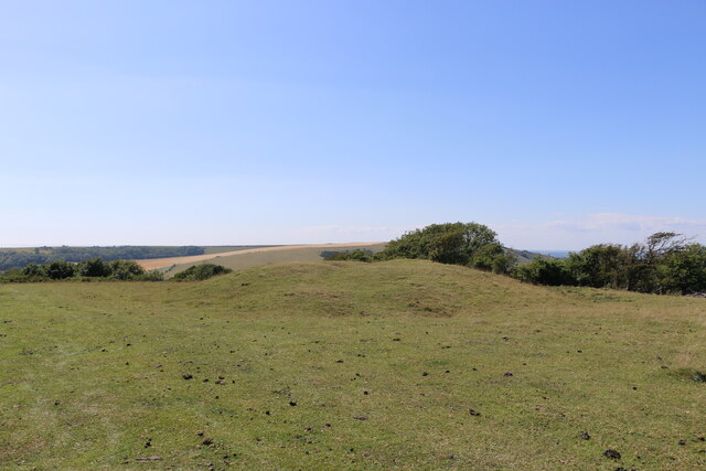
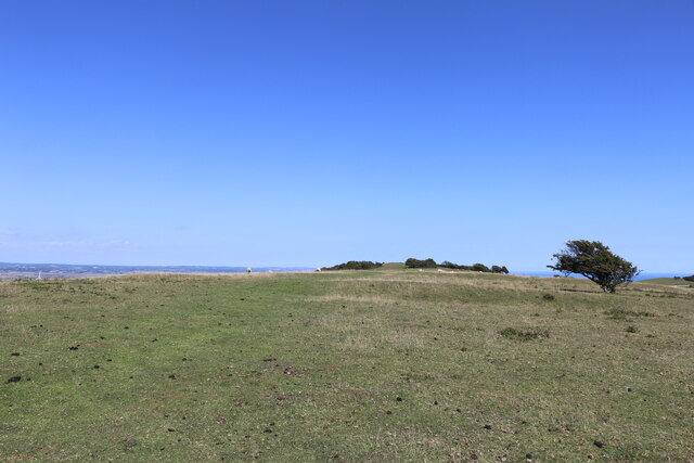
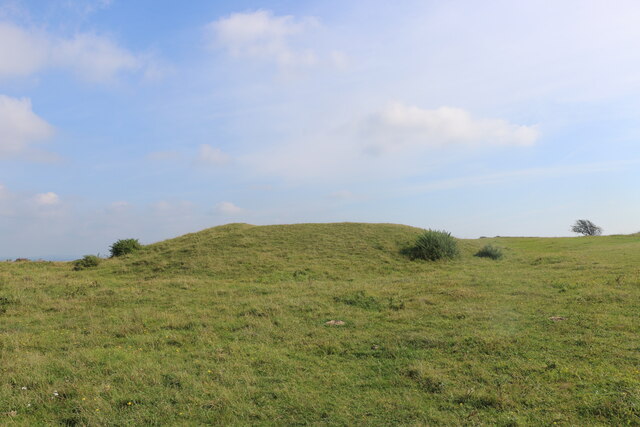
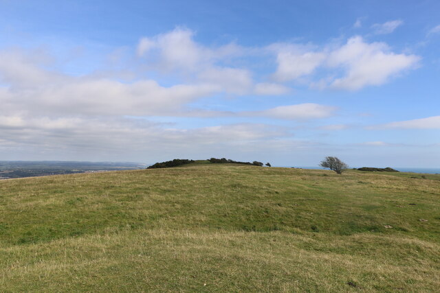
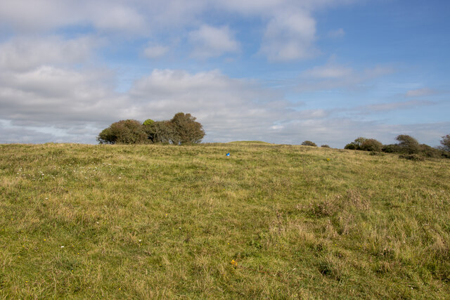
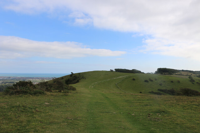
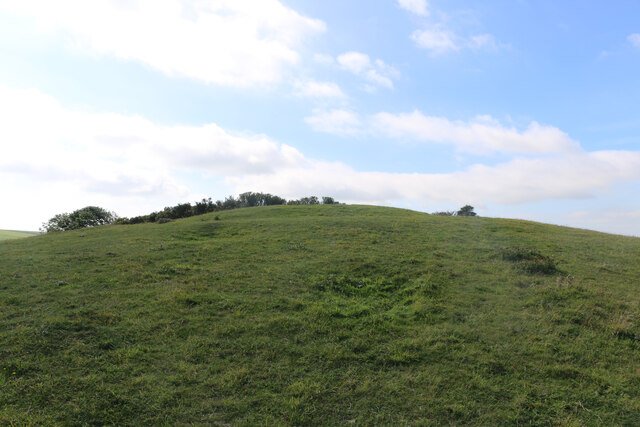
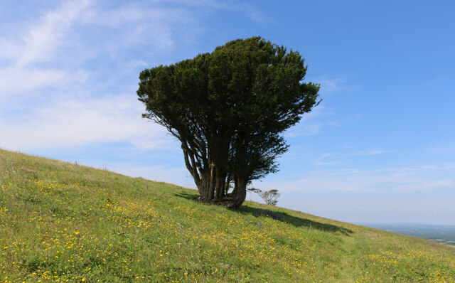
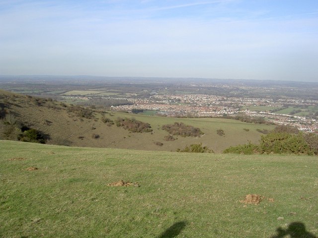
The village is surrounded by rolling countryside and offers breathtaking views of the South Downs National Park, which lies to the north. This makes Filching an ideal location for those seeking a peaceful and idyllic setting away from the hustle and bustle of city life.

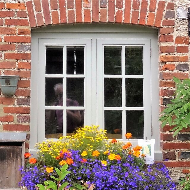
The village itself features a number of historic buildings, including a 12th-century church called St. Peter's, which is a notable architectural landmark. The church, with its distinct Norman features, adds to the village's charm and serves as a focal point for the community.

While small, Filching is well-served by amenities, including a village hall that hosts various community events and gatherings. Additionally, the nearby towns of Eastbourne and Lewes provide residents with access to a wider range of services, such as shops, schools, and healthcare facilities.

The surrounding area offers plenty of opportunities for outdoor activities, with numerous walking and cycling paths crisscrossing the picturesque countryside. The village's proximity to the South Downs also makes it a popular destination for nature lovers and hikers.

Overall, Filching is a tranquil and picturesque village, offering residents and visitors alike a peaceful retreat in the heart of the Sussex countryside.

If you have any feedback on the listing, please let us know in the comments section below.

Filching Images

Images are sourced within 2km of 50.805347/0.22521637 or Grid Reference TQ5603. Thanks to Geograph Open Source API. All images are credited.

Field of barley on the west side of Bourne Hill
Railings and ironwork on Willingdon Lane
Window on Willingdon Lane
Jevington
Jevington
View east over Willingdon Bottom
View ESE towards Willingdon Hill I took this from the track that leads from the South Downs Way towards Lullington Heath.
View ESE towards Willingdon Hill
I took this from the track that leads from the South Downs Way towards Lullington Heath.
House on Green Lane
House on Green Lane
Coombe Hill viewed in a west-northwest direction, East Sussex This photo looks over part of the dry valley of Willingdon Bottom toward Coombe Hill. The archaeological features on Coombe Hill, including a causewayed enclosure and barrows, lie on the crest of the hill and in a saddle of land on the western side.
Coombe Hill viewed in a west-northwest direction, East Sussex
This photo looks over part of the dry valley of Willingdon Bottom toward Coombe Hill. The archaeological features on Coombe Hill, including a causewayed enclosure and barrows, lie on the crest of the hill and in a saddle of land on the western side.
Bronze-Age bowl barrow on Combe Hill, East Sussex This westerly looking photo shows the most easterly of the barrows on Combe Hill.
Bronze-Age bowl barrow on Combe Hill, East Sussex
This westerly looking photo shows the most easterly of the barrows on Combe Hill.
Bronze Age bowl barrow viewed from the west, East Sussex The bowl barrow in the photo is being viewed from the west. It appears to have been originally dug in Victorian times without proper records being kept.
Bronze Age bowl barrow viewed from the west, East Sussex
The bowl barrow in the photo is being viewed from the west. It appears to have been originally dug in Victorian times without proper records being kept.
Westward view of the most westerly bowl barrow on Combe Hill This Bronze Age bowl barrow is the most westerly barrow on Combe Hill, East Sussex. The top of the barrow has a circular depression indicating that it has been excavated.
Westward view of the most westerly bowl barrow on Combe Hill
This Bronze Age bowl barrow is the most westerly barrow on Combe Hill, East Sussex. The top of the barrow has a circular depression indicating that it has been excavated.
Ring and ditch of the causewayed enclosure on Combe Hill This photo looks eastward along the top of Combe Hill in East Sussex. The photo shows a segment of the ring and ditch feature which forms part of the causewayed enclosure. There are several causeways which cut the rings into parts and one of these is indicated to the north of centre in the photo. The most easterly of the bowl barrows on this ceremonial site can be seen on the high ground which marks the horizon.
Ring and ditch of the causewayed enclosure on Combe Hill
This photo looks eastward along the top of Combe Hill in East Sussex. The photo shows a segment of the ring and ditch feature which forms part of the causewayed enclosure. There are several causeways which cut the rings into parts and one of these is indicated to the north of centre in the photo. The most easterly of the bowl barrows on this ceremonial site can be seen on the high ground which marks the horizon.
Eastward view of the more westerly bowl barrow on Coombe Hill In 1908, three and a half bronze axes were unearthed from the bowl barrow in the photo by the then owner of Friston Place, (Curwen 1940 p.108) Three of the four axes had been broken. It is likely that the breakages were deliberate, and done in a ritual manner, in order to "kill" the objects so that they could be used as votive offerings.
Eastward view of the more westerly bowl barrow on Coombe Hill
In 1908, three and a half bronze axes were unearthed from the bowl barrow in the photo by the then owner of Friston Place, (Curwen 1940 p.108) Three of the four axes had been broken. It is likely that the breakages were deliberate, and done in a ritual manner, in order to "kill" the objects so that they could be used as votive offerings.
View from the western barrow to the eastern one, Coombe Hill This photo was taken from the top of the western bowl barrow and it looks over the archaeological site of the Neolithic "causewayed enclosure" toward the eastern, bowl barrow. The bowl barrows are Bronze Age features.
View from the western barrow to the eastern one, Coombe Hill
This photo was taken from the top of the western bowl barrow and it looks over the archaeological site of the Neolithic "causewayed enclosure" toward the eastern, bowl barrow. The bowl barrows are Bronze Age features.
Saucer or disc barrow on Combe Hill, East Sussex The disc or saucer shaped barrow is an example of one of the rarest forms of round barrow with only approximately 60 of them in the country. Because of this rarity they are always considered to be of national importance and they are bestowed with official recognition and protected status.
The saucer barrow, in the photo, is a shallow depression which is difficult to see and photograph and it is for that reason that I placed a blue bag in the centre of the feature. Although the saucer shaped barrow lacks the visual impact of either of the nearby bowl barrows, it retains considerable archaeological potential for research as there is no evidence of antiquarian investigation.
Saucer or disc barrow on Combe Hill, East Sussex
The disc or saucer shaped barrow is an example of one of the rarest forms of round barrow with only approximately 60 of them in the country. Because of this rarity they are always considered to be of national importance and they are bestowed with official recognition and protected status. The saucer barrow, in the photo, is a shallow depression which is difficult to see and photograph and it is for that reason that I placed a blue bag in the centre of the feature. Although the saucer shaped barrow lacks the visual impact of either of the nearby bowl barrows, it retains considerable archaeological potential for research as there is no evidence of antiquarian investigation.
Prehistoric barrow between Cold Crouch and Coombe Hill, East Sussex The convex hill to the east of the Wealdway, in the photo, is made of chalk and it is a natural part of the escarpment. Built on top of the hill, there is an earthen, prehistoric barrow with panoramic, eastern views towards Eastbourne and the English Channel.
Prehistoric barrow between Cold Crouch and Coombe Hill, East Sussex
The convex hill to the east of the Wealdway, in the photo, is made of chalk and it is a natural part of the escarpment. Built on top of the hill, there is an earthen, prehistoric barrow with panoramic, eastern views towards Eastbourne and the English Channel.
Westward view of a barrow between Cold Crouch and Coombe Hill This photo shows a barrow on the summit of a steep hill between Cold Crouch and Coombe Hill in East Sussex.
Westward view of a barrow between Cold Crouch and Coombe Hill
This photo shows a barrow on the summit of a steep hill between Cold Crouch and Coombe Hill in East Sussex.
Yew tree on Coombe Hill, East Sussex This photo shows a single yew tree growing on the slopes of Coombe Hill. It is surrounded by a variety of colourful, downland flowers
Yew tree on Coombe Hill, East Sussex
This photo shows a single yew tree growing on the slopes of Coombe Hill. It is surrounded by a variety of colourful, downland flowers
Show me another place!

Filching is located at Grid Ref: TQ5603 (Lat: 50.805347, Lng: 0.22521637)

Administrative County: East Sussex

District: Wealden

Police Authority: Sussex

What 3 Words

///attend.ruby.just. Near Friston, East Sussex

Related Wikis

Folkington Reservoir

Folkington Reservoir is a 5.8-hectare (14-acre) biological Site of Special Scientific Interest south-west of Polegate in East Sussex.The banks of the reservoir...

Combe Hill, East Sussex

Combe Hill is a causewayed enclosure, near Eastbourne in East Sussex, on the northern edge of the South Downs. It consists of an inner circuit of ditches...

Willingdon Down

Willingdon Down is a 67.5-hectare (167-acre) biological Site of Special Scientific Interest west of Willingdon, a suburb of Eastbourne in East Sussex....

Folkington Manor

Folkington Manor (pronounced Fo'ington) is a grade II* listed country house situated in the village of Folkington two miles (3.2 km) west of Polegate,...

Church of St Peter ad Vincula, Folkington

The Church of St Peter ad Vincula, Folkington, East Sussex is a parish church dating from the 13th century. Built of flint and rubble, it is a Grade I...

Willingdon Community School

Willingdon Community School is an 11–16 coeducational secondary school located in the Lower Willingdon area of Eastbourne in the English county of East...

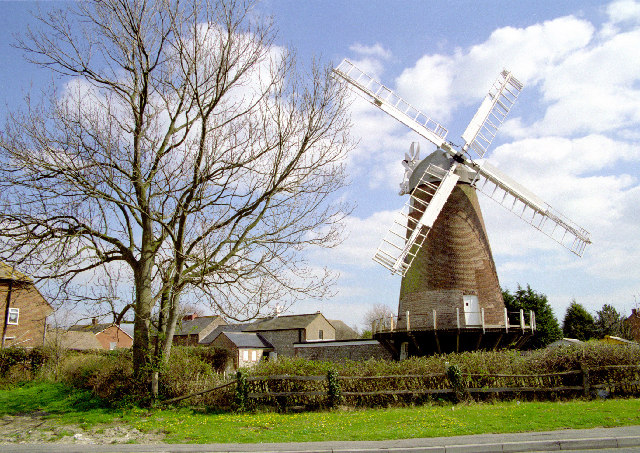
Ovenden's Mill, Polegate

Ovenden's Mill or Mockett's Mill is a grade II* listed tower mill at Polegate, East Sussex, England which has been restored but is now in a poor state...

More Radio Eastbourne

More Radio Eastbourne, formerly Sovereign FM, is an Independent Local Radio station serving Eastbourne, Hailsham, Polegate and surrounding areas. It is...

Nearby Amenities

Located within 500m of 50.805347,0.22521637
Post Box
Brand: Royal Mail
Brand Wikidata: Q638098
Operator: Royal Mail
Operator Wikidata: Q638098
Ref: BN26 1018
Lat/Long: 50.8053078/0.2251251
Parking
Access: private
Lat/Long: 50.8048764/0.228713
The data included in this document is from www.openstreetmap.org. The data is made available under ODbL.

Have you been to Filching?

Leave your review of Filching below (or comments, questions and feedback).