Finberry
Settlement in Kent Ashford
England
Finberry

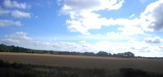
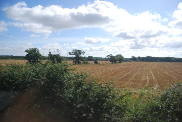
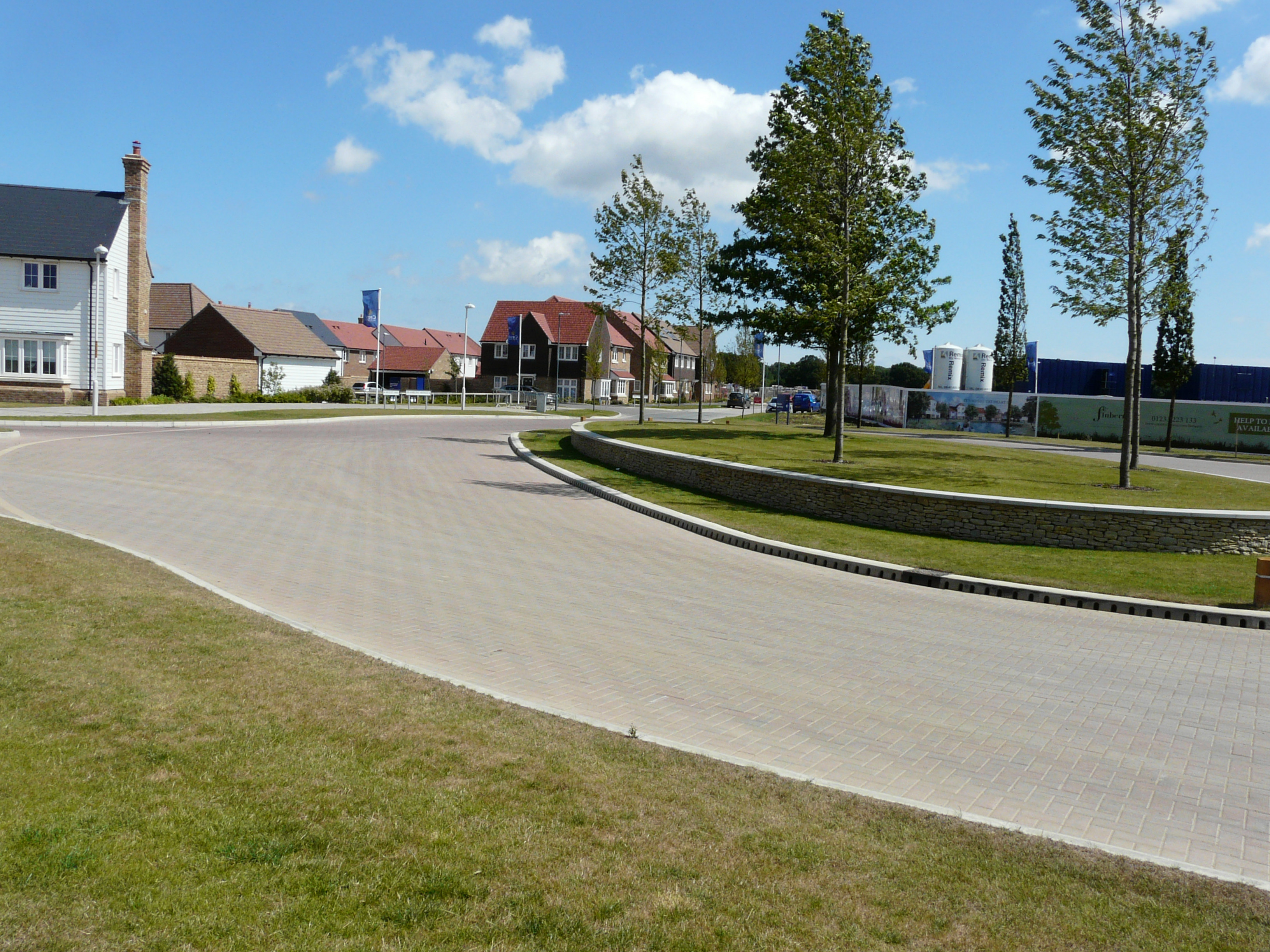
Finberry is a small village located in the borough of Ashford in the county of Kent, England. Situated about 3 miles southeast of Ashford town center, it is a relatively new development that has rapidly grown in recent years. The village is part of the larger Finberry community, which also consists of the Finberry Primary School and a number of residential areas.
The village is characterized by its modern architecture and well-planned layout. It offers a range of housing options, including detached houses, semi-detached houses, and apartments, catering to a diverse range of residents. The development also features green spaces, play areas, and a network of footpaths and cycleways, providing ample opportunities for outdoor activities and recreation.
Finberry benefits from its proximity to Ashford, which offers a wide range of amenities such as shopping centers, supermarkets, restaurants, and entertainment facilities. The village also enjoys excellent transport links, with easy access to the M20 motorway and a nearby railway station connecting it to major cities like London and Canterbury.
In addition to its residential appeal, Finberry is known for its community spirit and active social scene. The village hosts various events and activities throughout the year, including fairs, markets, and sports tournaments, fostering a sense of belonging among its residents.
Overall, Finberry is a thriving village that combines modern living with a strong sense of community, making it an attractive place to live for individuals and families alike.
If you have any feedback on the listing, please let us know in the comments section below.
Finberry Images
Images are sourced within 2km of 51.119079/0.89251661 or Grid Reference TR0239. Thanks to Geograph Open Source API. All images are credited.


Finberry is located at Grid Ref: TR0239 (Lat: 51.119079, Lng: 0.89251661)
Administrative County: Kent
District: Ashford
Police Authority: Kent
What 3 Words
///purple.jumped.yarn. Near Ashford, Kent
Nearby Locations
Related Wikis
Finberry
Finberry is a housing estate located in the south-east of Ashford, in the civil parish of Sevington with Finberry, in the Ashford district, in the county...

Cheeseman's Green
Cheeseman's Green is a housing and commercial development to the south of Ashford in Kent, England. It is adjacent to Sevington and Park Farm. It will...
Park Farm railway station
Park Farm railway station, also known as Kingsnorth railway station was a proposal for a railway station in Kent on the Marshlink line between Ashford...

Ruckinge Dyke
Ruckinge Dyke is a tributary of the Great Stour, joining with the East Stour and then the Great Stour at Pledge's Mill at the bottom of East Hill in Ashford...

Sevington
Sevington is a village in the civil parish of Sevington with Finberry, in the Ashford district, in Kent, England. == History == The geographically small...

Newtown, Kent
Newtown is a suburb of Ashford in Kent, South East England. It was built by the South Eastern Railway (SER), south-east of the railway station, alongside...
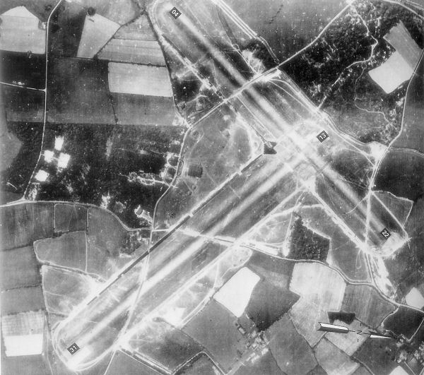
RAF Kingsnorth (World War II)
Royal Air Force Kingsnorth or more simply RAF Kingsnorth is a former Royal Air Force Advanced Landing Ground in Kent, England. It was at Bliby Corner...
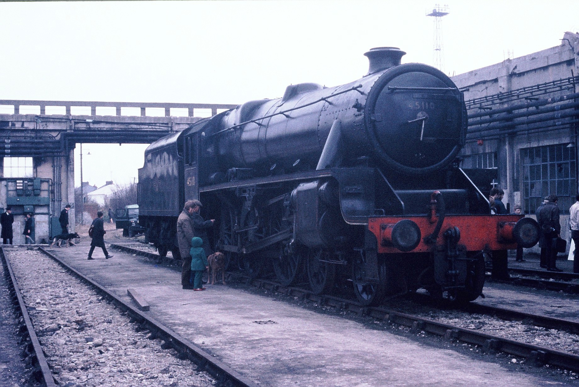
Ashford Steam Centre
Ashford Steam Centre was a short-lived railway museum at Willesborough, Ashford, Kent, United Kingdom. It was located at the former engine shed that was...
Nearby Amenities
Located within 500m of 51.119079,0.89251661Have you been to Finberry?
Leave your review of Finberry below (or comments, questions and feedback).