Fartown Green

Settlement in Yorkshire

England

Fartown Green

Huddersfield station and statue of Harold Wilson One of the premier station frontages in England forms the backcloth to a statue of a famous former premier of Britain. The statue is located in the restored St Georges Square.
Huddersfield station and statue of Harold Wilson Credit: Michael Fox

Fartown Green is a small village located in West Yorkshire, England. Situated approximately 2 miles southeast of Huddersfield town center, it is a predominantly residential area with a close-knit community.

The village is known for its green and serene surroundings, with open fields and tree-lined streets providing a peaceful atmosphere. Fartown Green is characterized by its charming, traditional stone-built houses, which add to the village's unique character and charm.

In terms of amenities, Fartown Green offers a range of services to its residents. There is a local primary school, making it an ideal place for families with young children. The village also boasts a local convenience store, ensuring that daily necessities are easily accessible. Additionally, there are several parks and recreational areas nearby, providing opportunities for outdoor activities and leisure.

Transportation in Fartown Green is well-connected, with regular bus services running to and from Huddersfield town center. The village is also conveniently located near major road networks, making it easily accessible by car.

Although Fartown Green is a small village, it benefits from its proximity to Huddersfield, a vibrant town offering a wider range of amenities such as shopping centers, restaurants, and entertainment venues. This allows residents to enjoy the tranquility of village life while having access to urban facilities just a short distance away.

Overall, Fartown Green is a peaceful and scenic village, perfect for those seeking a tranquil residential area with a strong sense of community.

If you have any feedback on the listing, please let us know in the comments section below.

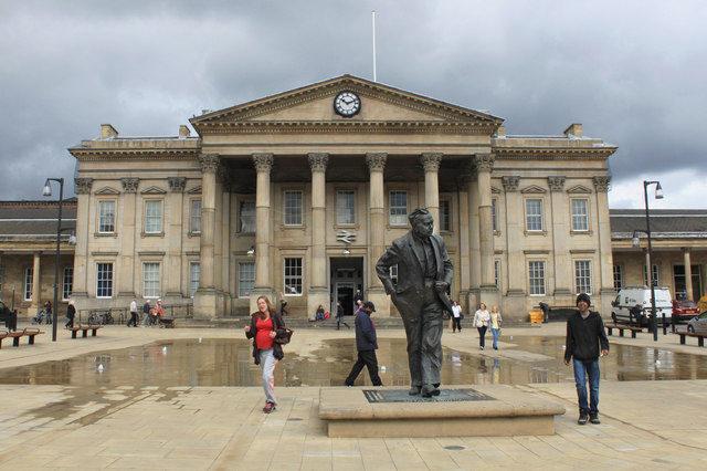
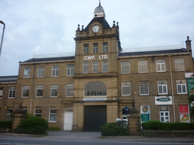
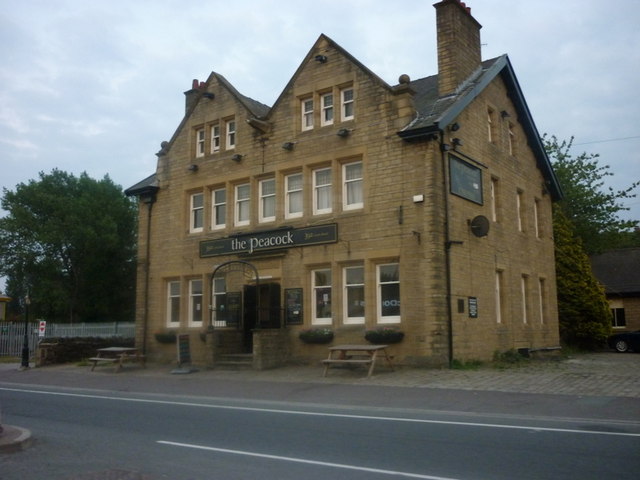
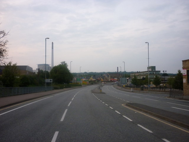
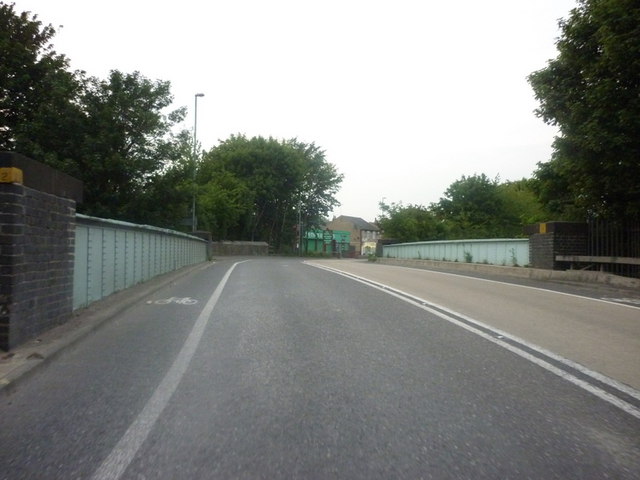
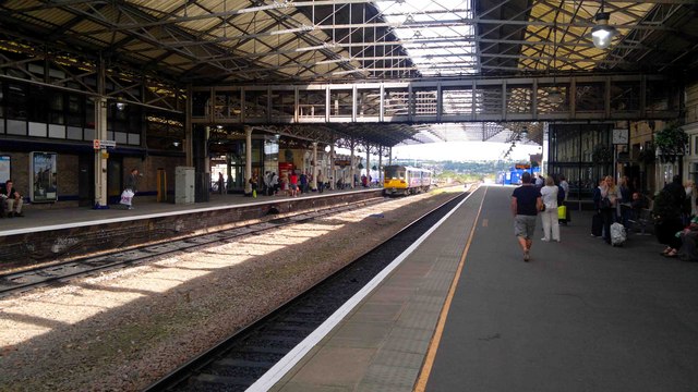
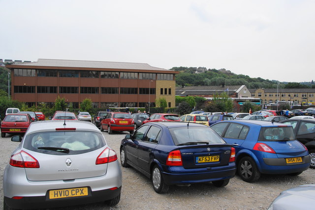
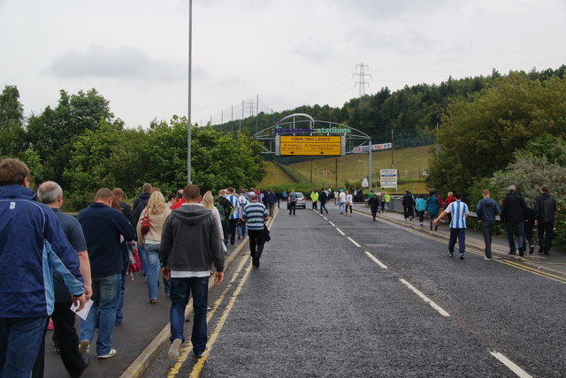
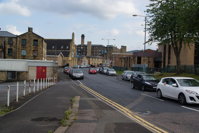
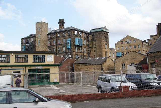
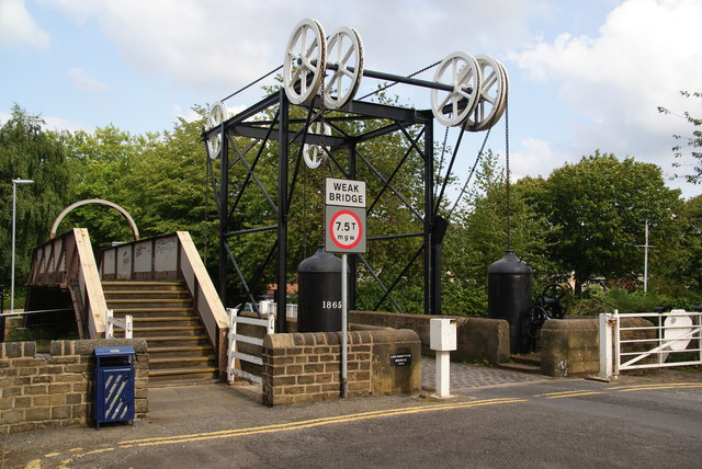
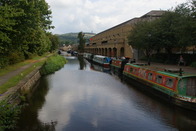
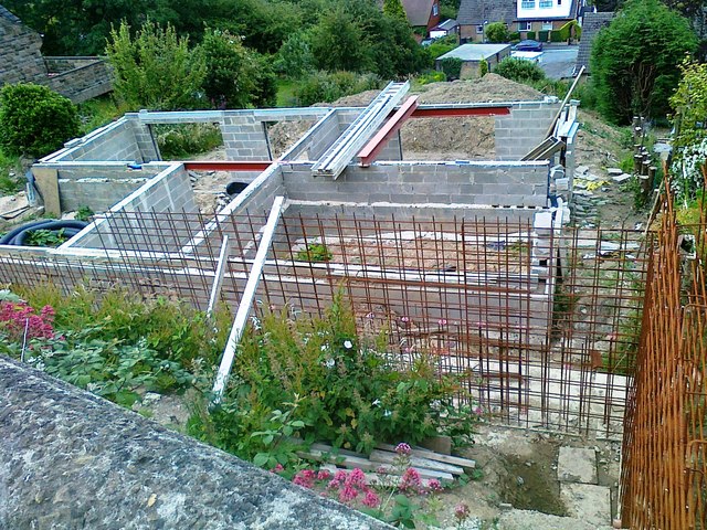
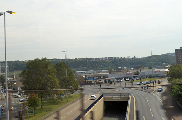
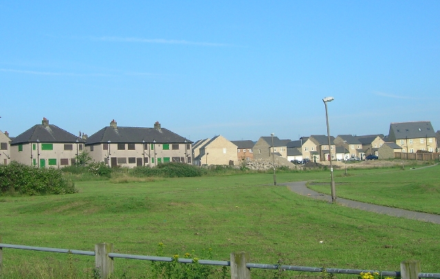
Fartown Green Images

Images are sourced within 2km of 53.664105/-1.7751371 or Grid Reference SE1418. Thanks to Geograph Open Source API. All images are credited.

Huddersfield station and statue of Harold Wilson One of the premier station frontages in England forms the backcloth to a statue of a famous former premier of Britain. The statue is located in the restored St Georges Square.
Huddersfield station and statue of Harold Wilson
One of the premier station frontages in England forms the backcloth to a statue of a famous former premier of Britain. The statue is located in the restored St Georges Square.
Continental Food & Drink on Leeds Road
The Peacock on Leeds Road
The A62, Leeds Road
The A62, Leeds Road
The A62 Leeds Road goes over rail lines at Deighton
Huddersfield Train Station
Matchday parking off St Andrew's Road This is an official pay-and-display car park.
Matchday parking off St Andrew's Road
This is an official pay-and-display car park.
Walking to the Galpharm Stadium The road crosses the River Colne just here.
Walking to the Galpharm Stadium
The road crosses the River Colne just here.
The Galpharm Stadium The approach from the south west end. I understand that the stadium was going to be renamed a couple of years ago because Galpharm were taken over, but nothing appears to have happened since.
The Galpharm Stadium
The approach from the south west end. I understand that the stadium was going to be renamed a couple of years ago because Galpharm were taken over, but nothing appears to have happened since.
Before the match in the Galpharm Stadium The first match of the new season. Huddersfield Town FC are the League One title favourites, but were disappointed by a draw in this match.
Before the match in the Galpharm Stadium
The first match of the new season. Huddersfield Town FC are the League One title favourites, but were disappointed by a draw in this match.
Gasworks Street Aptly named street with the gasholder still in use.
Gasworks Street
Aptly named street with the gasholder still in use.
Leeds Road, Huddersfield This is the A62 shortly before it reaches the inner ring road.
Leeds Road, Huddersfield
This is the A62 shortly before it reaches the inner ring road.
Old Leeds Road, Huddersfield This used to be the main road, but now is a side road servicing mainly industrial premises.
Old Leeds Road, Huddersfield
This used to be the main road, but now is a side road servicing mainly industrial premises.
Mills on Quay Street Viewed from Old Leeds Road.
Mills on Quay Street
Viewed from Old Leeds Road.
Pulley bridge on the Huddersfield Broad Canal This is where Quay Street crosses the canal.
Pulley bridge on the Huddersfield Broad Canal
This is where Quay Street crosses the canal.
The Huddersfield Broad Canal Viewed from the Quay Street bridge, past the Sainsbury's superstore. In the distance is Castle Hill which provides a good viewpoint over the town.
The Huddersfield Broad Canal
Viewed from the Quay Street bridge, past the Sainsbury's superstore. In the distance is Castle Hill which provides a good viewpoint over the town.
House under construction, Halifax Old Road, Cowcliffe
Castlegate Huddersfield from railway bridge
Show me another place!

Fartown Green is located at Grid Ref: SE1418 (Lat: 53.664105, Lng: -1.7751371)

Division: West Riding

Unitary Authority: Kirklees

Police Authority: West Yorkshire

What 3 Words

///river.sling.burns. Near Huddersfield, West Yorkshire

Related Wikis

North Huddersfield Trust School

North Huddersfield Trust School (formerly Fartown High School) is a coeducational secondary school located in the Fartown area of Huddersfield, West Yorkshire...

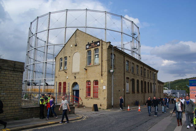
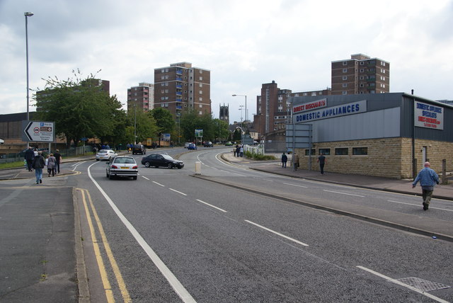
Fartown, Huddersfield

Fartown is a district of Huddersfield, West Yorkshire, England that starts 0.6 miles (1 km) north of the town centre. Fartown runs for approximately 1...
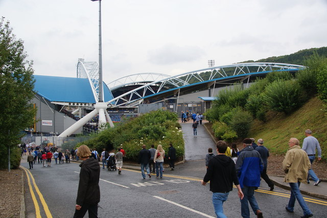
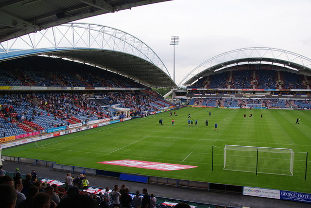
Fartown Ground

The Fartown Ground or just simply Fartown is a sports ground located in the Huddersfield suburb of Fartown in West Yorkshire, England and is predominantly...

Sheepridge, Huddersfield

Sheepridge is a district of Huddersfield, West Yorkshire, England. It is 1.5 miles (2.4 km) to the north-east of the town centre.Sheepridge is situated...

Kirklees EfW

The Kirklees EfW is a major moving grate incineration plant in Huddersfield, Kirklees, England. The incinerator is owned and operated by Suez Recycling...

Leeds Road

Leeds Road was a football stadium in Huddersfield, England. It operated from its construction in 1908 until the Kirklees Stadium was opened nearby for...

Brackenhall

Brackenhall is a district of Huddersfield, West Yorkshire, England located 2 miles (3 km) north of Huddersfield town centre between Fixby and Sheepridge...

Cowcliffe

Cowcliffe is an area of Huddersfield, West Yorkshire, England. It is situated between Fixby and Birkby based around Cowcliffe Hill Road. Cowcliffe is a...

Nearby Amenities

Located within 500m of 53.664105,-1.7751371
Waterway: lock_gate
Lat/Long: 53.6613986/-1.770439
Waterway: lock_gate
Lat/Long: 53.6615809/-1.7703473
Traffic Signals
Source: survey
Lat/Long: 53.662202/-1.7804375
Bus Stop
Lat/Long: 53.6625632/-1.7805243
Bus Stop
Lat/Long: 53.665008/-1.7802815
Bus Stop
Woodhouse Hill Woodhouse Hill Road
Local Ref: 45017502
Naptan AtcoCode: 450017502
Naptan Bearing: SW
Naptan CommonName: Woodhouse Hill Woodhouse Hill Road
Naptan Crossing: Woodhouse Hill Road
Naptan Indicator: Stop 45017502
Naptan Landmark: Fartown High School
Naptan PlusbusZoneRef: LEEDS
Naptan ShortCommonName: Woodhouse Hill Road
Naptan Street: Woodhouse Hill
Naptan Verified: no
Source: naptan_import
Lat/Long: 53.6657527/-1.7725868
Bus Stop
Woodhouse Hill Woodhouse Avenue
Local Ref: 45017503
Naptan AtcoCode: 450017503
Naptan Bearing: NE
Naptan CommonName: Woodhouse Hill Woodhouse Avenue
Naptan Crossing: Woodhouse Avenue
Naptan Indicator: Stop 45017503
Naptan Landmark: Fartown High School
Naptan Notes: OSR taken place 291105
Naptan PlusbusZoneRef: LEEDS
Naptan ShortCommonName: Woodhouse Avenue
Naptan Street: Woodhouse Hill
Naptan Verified: no
Source: naptan_import
Lat/Long: 53.664642/-1.7746359
Bus Stop
Woodhouse Hill Blackhouse Road
Local Ref: 45017504
Naptan AtcoCode: 450017504
Naptan Bearing: SW
Naptan CommonName: Woodhouse Hill Blackhouse Road
Naptan Crossing: Blackhouse Road
Naptan Indicator: Stop 45017504
Naptan Notes: OSR taken place 291105
Naptan PlusbusZoneRef: LEEDS
Naptan ShortCommonName: Blackhouse Road
Naptan Street: Woodhouse Hill
Naptan Verified: no
Source: naptan_import
Lat/Long: 53.6643276/-1.7747586
Bus Stop
Fartown Green Road Alder Street
Local Ref: 45017505
Naptan AtcoCode: 450017505
Naptan Bearing: SW
Naptan CommonName: Fartown Green Road Alder Street
Naptan Crossing: Red Doles Road
Naptan Indicator: Stop 45017505
Naptan PlusbusZoneRef: LEEDS
Naptan ShortCommonName: Red Doles Road
Naptan Street: Fartown Green Road
Naptan Verified: no
Source: naptan_import
Lat/Long: 53.6638616/-1.7755027
Bus Stop
Fartown Green Road Pollard Street
Local Ref: 45017506
Naptan AtcoCode: 450017506
Naptan Bearing: SW
Naptan CommonName: Fartown Green Road Pollard Street
Naptan Crossing: Pollard Street
Naptan Indicator: Stop 45017506
Naptan Notes: OSR taken place 291105
Naptan PlusbusZoneRef: LEEDS
Naptan ShortCommonName: Back Pollard Street
Naptan Street: Fartown Green Road
Naptan Verified: no
Source: naptan_import
Lat/Long: 53.6633074/-1.7771249
Bus Stop
Fartown Green Road Pollard Street
Local Ref: 45017507
Naptan AtcoCode: 450017507
Naptan Bearing: NE
Naptan CommonName: Fartown Green Road Pollard Street
Naptan Crossing: Pollard Street
Naptan Indicator: Stop 45017507
Naptan Notes: OSR taken place 291105
Naptan PlusbusZoneRef: LEEDS
Naptan ShortCommonName: Pollard Street
Naptan Street: Fartown Green Road
Naptan Verified: no
Source: naptan_import
Lat/Long: 53.6631734/-1.7775796
Bus Stop
Fartown Green Road Leonard Street
Local Ref: 45017508
Naptan AtcoCode: 450017508
Naptan Bearing: W
Naptan CommonName: Fartown Green Road Leonard Street
Naptan Crossing: Leonard Street
Naptan Indicator: Stop 45017508
Naptan PlusbusZoneRef: LEEDS
Naptan ShortCommonName: Leonard Street
Naptan Street: Fartown Green Road
Naptan Verified: no
Source: naptan_import
Lat/Long: 53.6624389/-1.7789607
Bus Stop
Fartown Green Road Leonard Street
Local Ref: 45017509
Naptan AtcoCode: 450017509
Naptan Bearing: E
Naptan CommonName: Fartown Green Road Leonard Street
Naptan Crossing: Leonard Street
Naptan Indicator: Stop 45017509
Naptan Landmark: Show room
Naptan PlusbusZoneRef: LEEDS
Naptan ShortCommonName: Fartown Bar
Naptan Street: Fartown Green Road
Naptan Verified: no
Source: naptan_import
Lat/Long: 53.6624583/-1.7797172
Bus Stop
Alder Street Tubby Lane
Local Ref: 45017510
Naptan AtcoCode: 450017510
Naptan Bearing: NE
Naptan CommonName: Alder Street Tubby Lane
Naptan Crossing: Tubby Lane
Naptan Indicator: Stop 45017510
Naptan Notes: OSR taken place 291105
Naptan PlusbusZoneRef: LEEDS
Naptan ShortCommonName: Tubby Lane
Naptan Street: Alder Street
Naptan Verified: no
Source: naptan_import
Lat/Long: 53.6625077/-1.7772805
Bus Stop
Alder Street Abbey Road
Local Ref: 45017511
Naptan AtcoCode: 450017511
Naptan Bearing: N
Naptan CommonName: Alder Street Abbey Road
Naptan Crossing: Abbey Road
Naptan Indicator: Stop 45017511
Naptan Notes: OSR taken place 291105
Naptan PlusbusZoneRef: LEEDS
Naptan ShortCommonName: Abbey Road
Naptan Street: Alder Street
Naptan Verified: no
Source: naptan_import
Lat/Long: 53.6613501/-1.7783308
Bus Stop
Ash Brow Road Central Avenue
Local Ref: 45017516
Naptan AtcoCode: 450017516
Naptan Bearing: SE
Naptan CommonName: Ash Brow Road Central Avenue
Naptan Crossing: Central Road
Naptan Indicator: Stop 45017516
Naptan Notes: OSR taken place 291105
Naptan PlusbusZoneRef: LEEDS
Naptan ShortCommonName: Central Road
Naptan Street: Ash Brow Road
Naptan Verified: no
Source: naptan_import
Lat/Long: 53.6681633/-1.778295
Bus Stop
Ash Brow Road Central Avenue
Local Ref: 45017517
Naptan AtcoCode: 450017517
Naptan Bearing: NW
Naptan CommonName: Ash Brow Road Central Avenue
Naptan Crossing: Central Road
Naptan Indicator: Stop 45017517
Naptan Notes: OSR taken place 291105
Naptan PlusbusZoneRef: LEEDS
Naptan ShortCommonName: Central Road
Naptan Street: Ash Brow Road
Naptan Verified: no
Source: naptan_import
Lat/Long: 53.6680556/-1.7784015
Bus Stop
Bradford Road Dewhurst Road
Local Ref: 45017537
Naptan AtcoCode: 450017537
Naptan Bearing: S
Naptan CommonName: Bradford Road Dewhurst Road
Naptan Crossing: Dewhurst Road
Naptan Indicator: Stop 45017537
Naptan PlusbusZoneRef: LEEDS
Naptan ShortCommonName: Dewhurst Road
Naptan Street: Bradford Road
Naptan Verified: no
Source: naptan_import
Lat/Long: 53.6646161/-1.7800238
Bus Stop
Bradford Road Fartown Green Road
Local Ref: 45017538
Naptan AtcoCode: 450017538
Naptan Bearing: S
Naptan CommonName: Bradford Road Fartown Green Road
Naptan Crossing: Fartown Gren Road
Naptan Indicator: Stop 45017538
Naptan Landmark: Barclays Bank
Naptan Notes: OSR taken place 291105
Naptan PlusbusZoneRef: LEEDS
Naptan ShortCommonName: Fartown Green Road
Naptan Street: Bradford Road
Naptan Verified: no
Source: naptan_import
Lat/Long: 53.6618842/-1.780371
Bus Stop
Bradford Road Spaines Road
Local Ref: 45017547
Naptan AtcoCode: 450017547
Naptan Bearing: N
Naptan CommonName: Bradford Road Spaines Road
Naptan Crossing: Spaines Road
Naptan Indicator: Stop 45017547
Naptan PlusbusZoneRef: LEEDS
Naptan ShortCommonName: Fartown Bar
Naptan Street: Bradford Road
Naptan Verified: no
Source: naptan_import
Lat/Long: 53.6625138/-1.7805796
Bus Stop
Bradford Road Dewhurst Road
Local Ref: 45017548
Naptan AtcoCode: 450017548
Naptan Bearing: N
Naptan CommonName: Bradford Road Dewhurst Road
Naptan Crossing: Dewhurst Road
Naptan Indicator: Stop 45017548
Naptan PlusbusZoneRef: LEEDS
Naptan ShortCommonName: Dewhurst Road
Naptan Street: Bradford Road
Naptan Verified: no
Source: naptan_import
Lat/Long: 53.6651378/-1.7802632
Bus Stop
Bradford Road Beverley Court
Local Ref: 45024186
Naptan AtcoCode: 450024186
Naptan Bearing: S
Naptan CommonName: Bradford Road Beverley Court
Naptan Crossing: Skipton Ave
Naptan Indicator: Stop 45024186
Naptan Landmark: Police Station
Naptan PlusbusZoneRef: LEEDS
Naptan ShortCommonName: Beverley Court
Naptan Street: Bradford Road
Naptan Verified: no
Source: naptan_import
Lat/Long: 53.6634478/-1.780151
Bus Stop
Woodhouse Hill Central Avenue
Local Ref: 45025389
Naptan AtcoCode: 450025389
Naptan Bearing: NE
Naptan CommonName: Woodhouse Hill Central Avenue
Naptan Crossing: Central Avenue
Naptan Indicator: Stop 45025389
Naptan Landmark: Woodhouse Hill Farm
Naptan Notes: OSR taken place 281105
Naptan PlusbusZoneRef: LEEDS
Naptan ShortCommonName: Central Avenue
Naptan Street: Woodhouse Hill
Naptan Verified: no
Source: naptan_import
Lat/Long: 53.6666497/-1.7715981
Abbey Road
Naptan AtcoCode: 450028699
Naptan Bearing: NE
Naptan BusStopType: CUS
Naptan CommonName: Abbey Road
Naptan Crossing: Fartown
Naptan Landmark: Unknown
Naptan PlusbusZoneRef: LEEDS
Naptan ShortCommonName: Abbey Rd Fartown
Naptan Street: Abbey Road
Naptan Verified: no
Source: naptan_import
Lat/Long: 53.6617862/-1.7759828
Bus Stop
Hammond Street
Naptan AtcoCode: 450028700
Naptan Bearing: SW
Naptan CommonName: Hammond Street
Naptan Crossing: Fartown
Naptan Landmark: Unknown
Naptan PlusbusZoneRef: LEEDS
Naptan ShortCommonName: Hammond Street
Naptan Street: Hammond Street
Naptan Verified: no
Source: naptan_import
Lat/Long: 53.6610652/-1.7749273
Bus Stop
Hammond Street Abbey Place
Naptan AtcoCode: 450028399
Naptan Bearing: SE
Naptan CommonName: Hammond Street Abbey Place
Naptan Crossing: Abbey Place
Naptan Landmark: Unknown
Naptan PlusbusZoneRef: LEEDS
Naptan ShortCommonName: Abbey Place
Naptan Street: Hammond Street
Naptan Verified: no
Source: naptan_import
Lat/Long: 53.6622409/-1.7739979
Bus Stop
Hammond Street Abbey Road
Naptan AtcoCode: 450028400
Naptan Bearing: W
Naptan CommonName: Hammond Street Abbey Road
Naptan Crossing: Abbey Road
Naptan Landmark: Unknown
Naptan PlusbusZoneRef: LEEDS
Naptan ShortCommonName: Abbey Road
Naptan Street: Hammond Street
Naptan Verified: no
Source: naptan_import
Lat/Long: 53.6606281/-1.7767305
Post Office
Source: OS OpenData StreetView
Lat/Long: 53.663041/-1.7779462
Fartown
Is In: Huddersfield
Is In Country: UK
Is In County: West Yorkshire
Is In District: Kirklees
Is In Town: Huddersfield
Place: suburb
Lat/Long: 53.6626339/-1.7799126
Mini Roundabout
Direction: clockwise
Lat/Long: 53.6670107/-1.7741482
Mini Roundabout
Direction: clockwise
Lat/Long: 53.6669953/-1.773921
Mini Roundabout
Direction: clockwise
Lat/Long: 53.6641139/-1.7751294
Turning Circle
Lat/Long: 53.6646408/-1.7728396
Post Box
Operator: Royal Mail
Lat/Long: 53.6667449/-1.773295
Turning Circle
Blackhouse Road
Lat/Long: 53.6646276/-1.7798989
Pharmacy
Dispensing: yes
Lat/Long: 53.6621039/-1.7810422
Shop: dry_cleaning
Source: survey
Lat/Long: 53.6626752/-1.7808469
Brand: SEAT
Shop: car
Source: survey
Lat/Long: 53.6628892/-1.7797907
Police
Source: survey
Lat/Long: 53.6633078/-1.7800972
Bench
Backrest: yes
Material: concrete;wood
Seats: 4
Lat/Long: 53.6662299/-1.7721441
Doctors
Wheelchair: yes
Lat/Long: 53.6628169/-1.7779516
Atm
Fee: no
Lat/Long: 53.6630253/-1.7779081
Noexit: yes
Lat/Long: 53.6630769/-1.7705428
Noexit: yes
Lat/Long: 53.661726/-1.7789081
Crossing
Lat/Long: 53.6627303/-1.7724269
Crossing
Crossing: traffic_signals
Lat/Long: 53.6644083/-1.7802453
Crossing
Crossing: traffic_signals
Lat/Long: 53.6644596/-1.7800511
Direction: backward
Traffic Calming: choker
Lat/Long: 53.6644164/-1.7804138
Bar
Addr Street: Bradford Road
Lat/Long: 53.6614372/-1.7809241
Turning Circle
Turning Circle: y-head
Lat/Long: 53.6634994/-1.7756776
The data included in this document is from www.openstreetmap.org. The data is made available under ODbL.

Have you been to Fartown Green?

Leave your review of Fartown Green below (or comments, questions and feedback).