Far Thorpe Green

Settlement in Essex Tendring

England

Far Thorpe Green

Weeley station facing west
Weeley station facing west Credit: Tom Page

Far Thorpe Green is a small village located in the county of Essex, England. Situated approximately 5 miles northeast of the town of Maldon, it is a tranquil and picturesque rural settlement. The village is nestled amidst rolling countryside, surrounded by lush green fields and meadows, offering residents and visitors a serene and idyllic environment.

With a population of around 300, Far Thorpe Green is a close-knit community where neighbors often know each other well. The village consists mainly of residential properties, ranging from charming cottages to more modern houses, all blending harmoniously with the rural surroundings. The architecture reflects a mix of traditional and contemporary styles, adding to the village's charm.

There are limited amenities within the village itself, with a small local shop providing basic necessities. However, residents find a wider range of facilities, including schools, shops, and healthcare services, in the nearby town of Maldon. This allows Far Thorpe Green to maintain its peaceful atmosphere while still benefiting from the convenience of urban amenities.

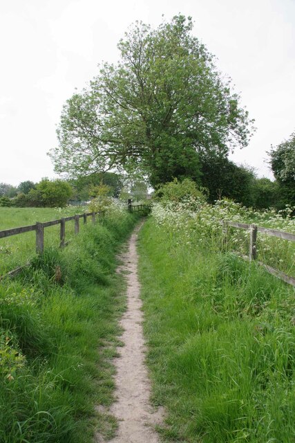
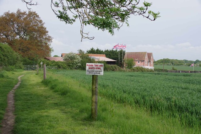
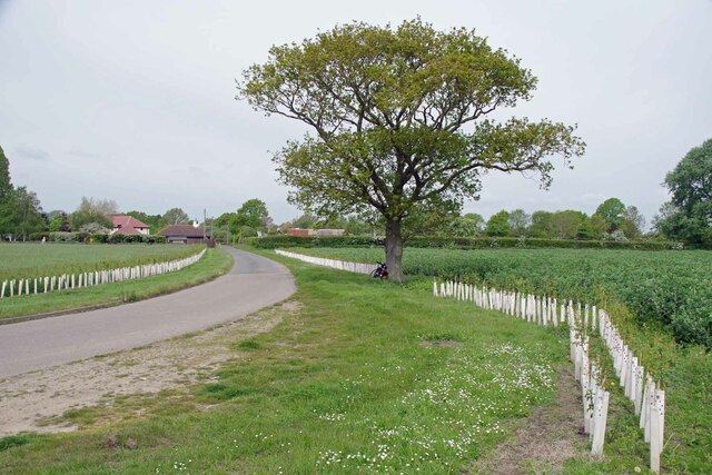
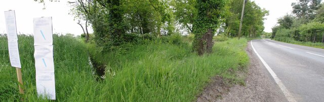
With its rural location, Far Thorpe Green offers plenty of opportunities for outdoor activities. The village is surrounded by beautiful walking trails and cycling routes, allowing residents to explore the scenic countryside. Additionally, the nearby River Blackwater provides opportunities for boating and fishing enthusiasts.

Overall, Far Thorpe Green is a charming and quiet village, ideal for those seeking a peaceful rural lifestyle, while still having access to nearby towns and amenities.

If you have any feedback on the listing, please let us know in the comments section below.

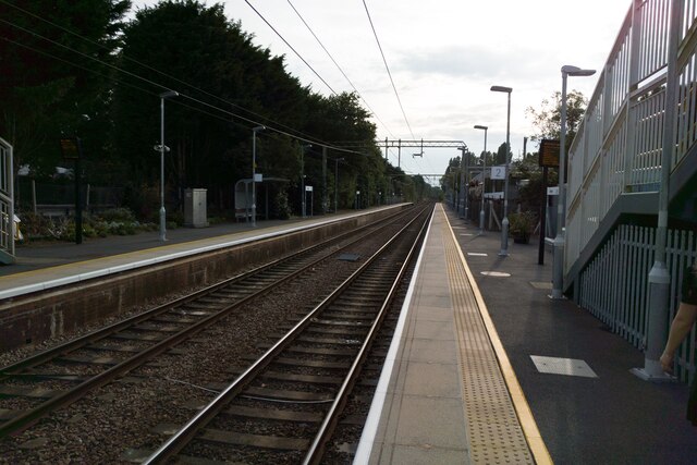
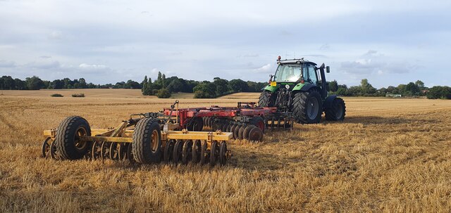
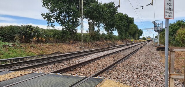
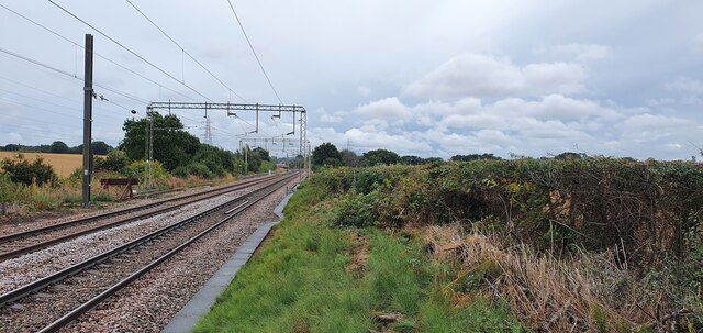
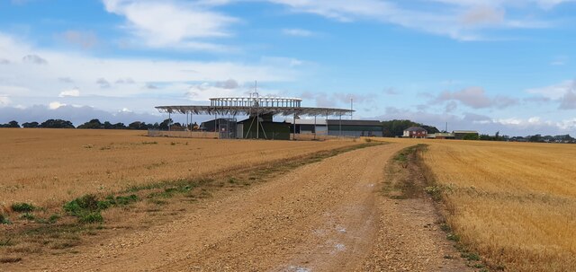
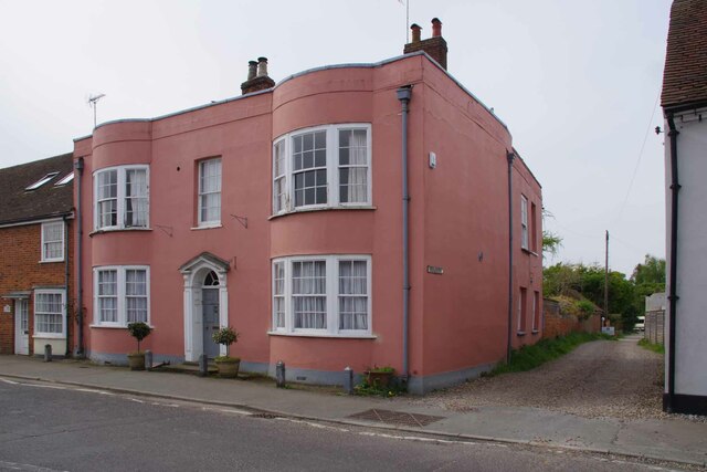
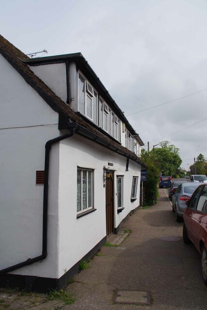
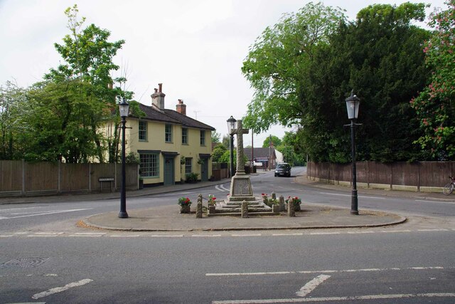
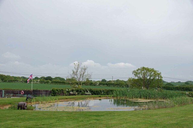
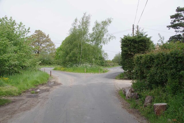
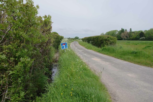
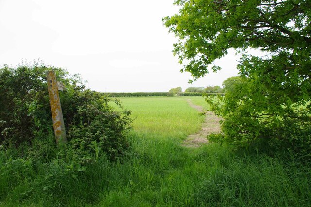
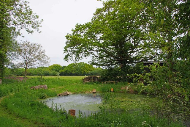
Far Thorpe Green Images

Images are sourced within 2km of 51.86069/1.1401055 or Grid Reference TM1622. Thanks to Geograph Open Source API. All images are credited.

Weeley station facing west
Farm machinery from Grange Farm in a recently ploughed field
Electricity cables over farm land
Train tracks with train approaching the level crossing
Looking from the level crossing towards Thorpe-le-Soken station
Aeronautical beacon in farmland
Mill House Looking down Mill Lane, Thorpe le Soken Footpath 11.
Mill House
Looking down Mill Lane, Thorpe le Soken Footpath 11.
Landermere Road at Abbey Cottage Abbey Cottage stands at the junction of Abbey St and Landermere Rd.
Landermere Road at Abbey Cottage
Abbey Cottage stands at the junction of Abbey St and Landermere Rd.
Station Road and War Memorial The car is in Station Road. The yellow building is Charfield House. The shot is taken looking across the B1033 into the B1414.
Station Road and War Memorial
The car is in Station Road. The yellow building is Charfield House. The shot is taken looking across the B1033 into the B1414.
Bridleway 5 Thorpe le Soken Looking back towards the village.
Bridleway 5 Thorpe le Soken
Looking back towards the village.
Trackway Near Frost Farm Looking towards Frost Farm. The path is not a formal right of way.
Trackway Near Frost Farm
Looking towards Frost Farm. The path is not a formal right of way.
Pond and Plastic Pachyderms The pond on Frost Farm sported a model  hippopotamus and rhinoceros. One up on a garden gnome I suppose!
Pond and Plastic Pachyderms
The pond on Frost Farm sported a model hippopotamus and rhinoceros. One up on a garden gnome I suppose!
New Hedge Near Barnard's Farm Looking towards Mill House.
New Hedge Near Barnard's Farm
Looking towards Mill House.
Road Junction at Far Thorpe Green Taken from Barnard's Farm Drive looking across the B1033 Colchester Rd into Whitehall Lane.
Road Junction at Far Thorpe Green
Taken from Barnard's Farm Drive looking across the B1033 Colchester Rd into Whitehall Lane.
Hillhouse Lane Looking towards Hillhouse Farm.
Hillhouse Lane
Looking towards Hillhouse Farm.
Footpath 2 Thorpe le Soken Looking towards <a href="https://www.geograph.org.uk/photo/7490054">TM1623 : Hillhouse Lane</a>
Footpath 2 Thorpe le Soken
Looking towards TM1623 : Hillhouse Lane
Pond in Whitehall Lane On the other side of the lane from Bradley Hall.
Pond in Whitehall Lane
On the other side of the lane from Bradley Hall.
Tendering Road Panorama Tendering seemed to be plastered with planning notices referencing scraps of land that will be affected by works related to the North Falls Offshore Wind Farm. See <a href="https://www.geograph.org.uk/photo/7490109">TM1623 : North Shore Parcel 1376 Notice</a>
Tendering Road Panorama
Tendering seemed to be plastered with planning notices referencing scraps of land that will be affected by works related to the North Falls Offshore Wind Farm. See TM1623 : North Shore Parcel 1376 Notice
Show me another place!

Far Thorpe Green is located at Grid Ref: TM1622 (Lat: 51.86069, Lng: 1.1401055)

Administrative County: Essex

District: Tendring

Police Authority: Essex

What 3 Words

///multiply.culminate.installs. Near Thorpe le Soken, Essex

Related Wikis

Comarques, Thorpe-le-Soken

Comarques is an 18th-century country house in Thorpe-le-Soken, Essex, England. It has been attributed to the architect, Sir Robert Taylor. Named after...

Thorpe-le-Soken

Thorpe-le-Soken is a village and civil parish in the Tendring district of Essex, England. It is located east of Colchester, west of Walton-on-the-Naze...

Weeleyhall Wood

Weeleyhall Wood is a 31 hectare biological Site of Special Scientific Interest north of Clacton-on-Sea in Essex. It is managed by the Essex Wildlife Trust...

Weeley railway station

Weeley railway station is on the Sunshine Coast Line, a branch of the Great Eastern Main Line, in the East of England, serving the village of Weeley, Essex...

Nearby Amenities

Located within 500m of 51.86069,1.1401055
Post Box
Mapillary: 166348889117883
Post Box Mounting: pier
Post Box Type: lamp
Ref: CO16 64
Survey Date: 2022-04-27
Lat/Long: 51.8608114/1.1400473
Power: pole
Source: bing
Lat/Long: 51.8636039/1.1378398
Power: pole
Source: bing
Lat/Long: 51.864024/1.1365304
Old Name: Far Thorpe Green
Place: hamlet
Lat/Long: 51.8608208/1.1395977
The data included in this document is from www.openstreetmap.org. The data is made available under ODbL.

Have you been to Far Thorpe Green?

Leave your review of Far Thorpe Green below (or comments, questions and feedback).