Far Thorpe Green
Downs, Moorland in Essex Tendring
England
Far Thorpe Green
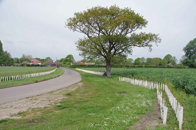
Far Thorpe Green is a small village located in the county of Essex, England. Situated in the southeastern part of the country, it falls within the district of Downs and Moorland. The village is nestled amidst picturesque surroundings, with rolling hills, lush green meadows, and charming countryside views.
With a population of around 300 residents, Far Thorpe Green retains its rural character and tranquility. The village consists of a cluster of traditional cottages, some dating back several centuries, alongside more modern dwellings. The architecture reflects the historical charm of the area, with thatched roofs, exposed timber beams, and well-maintained gardens.
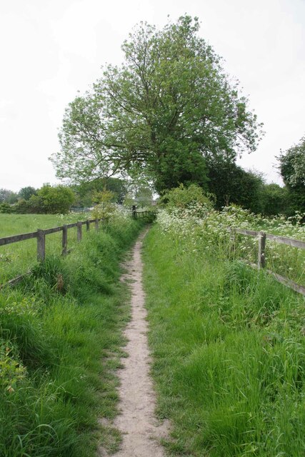
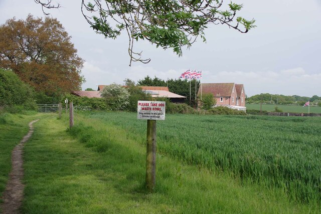
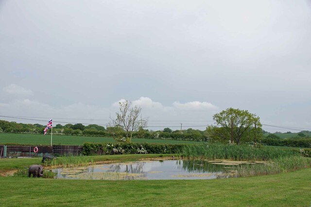
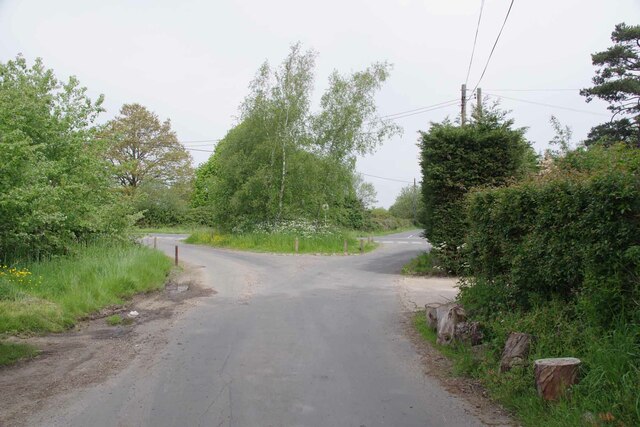
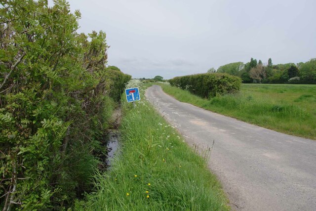
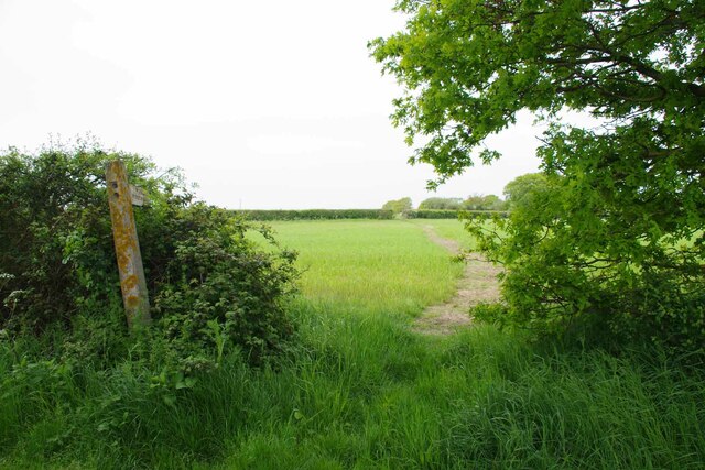
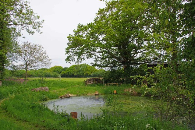
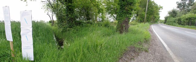
The village is surrounded by vast expanses of open countryside, making it a haven for nature enthusiasts. The nearby downs and moorland offer ample opportunities for hiking, birdwatching, and other outdoor activities. The landscape is dotted with ancient woodland, providing a home for a variety of wildlife.
Despite its rural setting, Far Thorpe Green benefits from good transport links. The village is conveniently located near major roads, allowing for easy access to nearby towns and cities. The local community is tight-knit and boasts a range of amenities, including a village hall, a primary school, and a small local shop.
Visitors to Far Thorpe Green can enjoy the tranquility of rural life, take in the scenic beauty of the surrounding countryside, and experience a taste of traditional English village life.
If you have any feedback on the listing, please let us know in the comments section below.
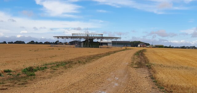
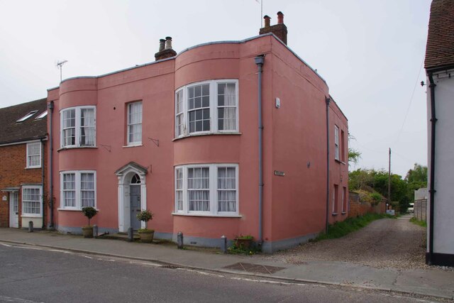
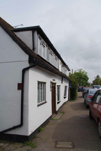
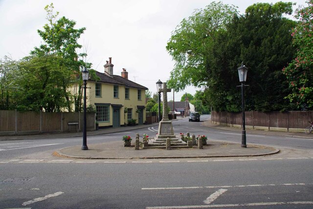
Far Thorpe Green Images
Images are sourced within 2km of 51.861093/1.1388117 or Grid Reference TM1622. Thanks to Geograph Open Source API. All images are credited.

Far Thorpe Green is located at Grid Ref: TM1622 (Lat: 51.861093, Lng: 1.1388117)
Administrative County: Essex
District: Tendring
Police Authority: Essex
What 3 Words
///tightest.potions.boards. Near Thorpe le Soken, Essex
Nearby Locations
Related Wikis

Comarques, Thorpe-le-Soken
Comarques is an 18th-century country house in Thorpe-le-Soken, Essex, England. It has been attributed to the architect, Sir Robert Taylor. Named after...

Thorpe-le-Soken
Thorpe-le-Soken is a village and civil parish in the Tendring district of Essex, England. It is located east of Colchester, west of Walton-on-the-Naze...

Weeleyhall Wood
Weeleyhall Wood is a 31 hectare biological Site of Special Scientific Interest north of Clacton-on-Sea in Essex. It is managed by the Essex Wildlife Trust...

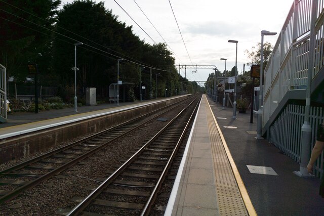
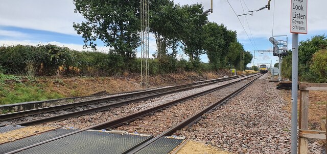
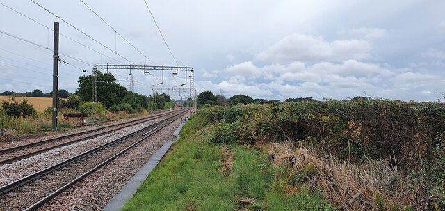
Weeley railway station
Weeley railway station is on the Sunshine Coast Line, a branch of the Great Eastern Main Line, in the East of England, serving the village of Weeley, Essex...
Related Videos

Weeley Bridge Holiday Park - Clacton-on-Sea, Essex
If a quieter kind of holiday is just your cup of tea, you'll love a holiday at the terrifically tranquil Weeley Bridge Holiday Park ...

Parkdean Resorts Weeley Bridge, Essex
Parkdean Resorts Weeley Bridge, Essex In this video, I show you all you need to know about this quiet little park, including the ...

Caravans For Sale at Weeley Bridge Holiday Park, Essex
Find out why so many of our Parkdean Resorts customers are becoming holiday home owners at Weeley Bridge Holiday Park in ...

Nearby Amenities
Located within 500m of 51.861093,1.1388117Have you been to Far Thorpe Green?
Leave your review of Far Thorpe Green below (or comments, questions and feedback).