Yew Tree Corner
Downs, Moorland in Norfolk Broadland
England
Yew Tree Corner
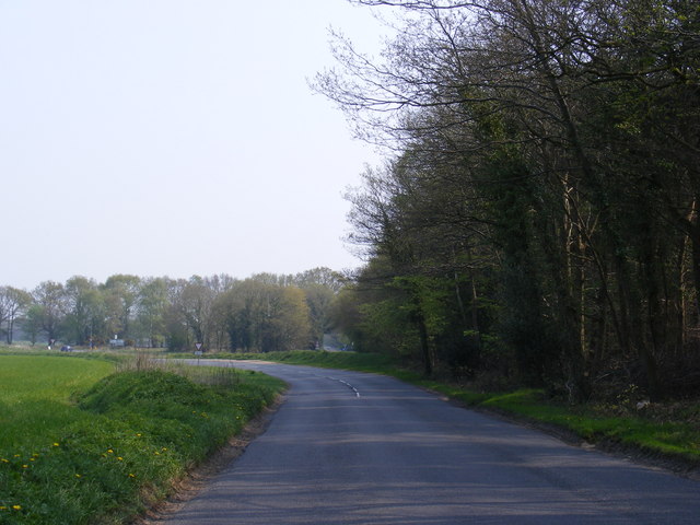
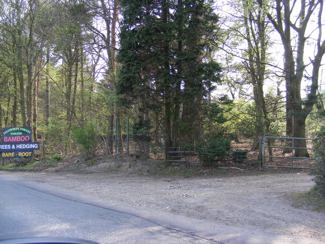
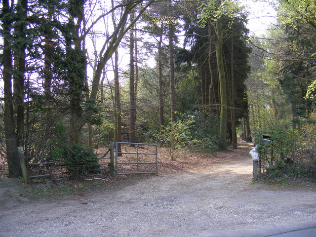
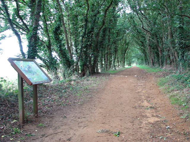
Yew Tree Corner is a picturesque area located in Norfolk, England. Situated amidst the beautiful Downs and Moorland landscapes, it offers a tranquil retreat for nature lovers and outdoor enthusiasts. The area derives its name from the prominent yew trees that dot the landscape, creating a unique and enchanting atmosphere.
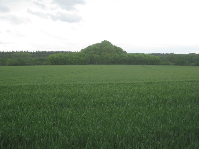
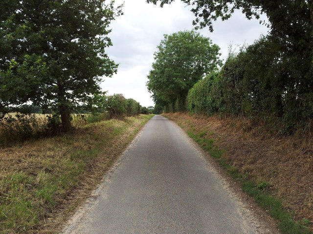
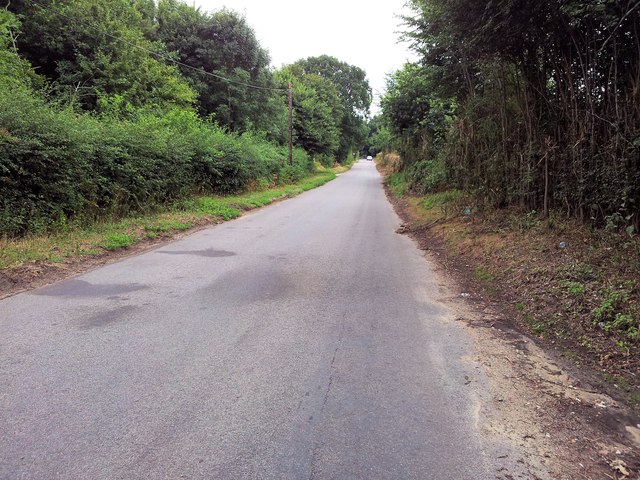
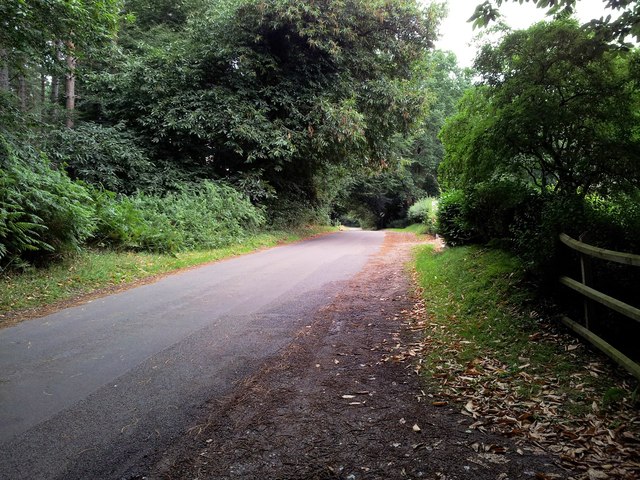
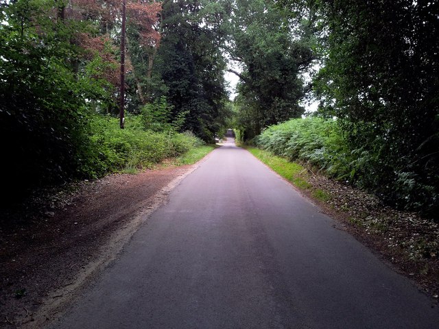
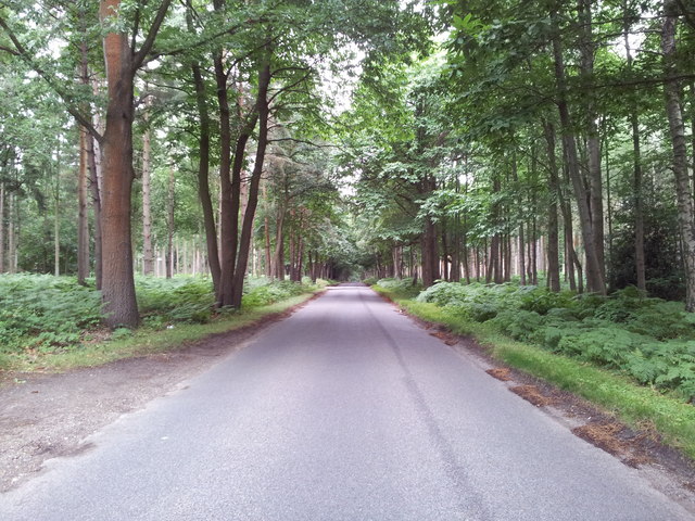
The Downs of Yew Tree Corner are characterized by rolling hills and sweeping views of the surrounding countryside. The lush greenery and open spaces make it an ideal spot for hiking, picnicking, or simply enjoying a leisurely stroll. The gentle slopes provide a great vantage point to admire the beauty of the Norfolk countryside.
Adjacent to the Downs, the Moorland of Yew Tree Corner presents a contrasting landscape. Here, visitors will find vast open expanses of heather-covered moors, interspersed with marshy areas and scattered ponds. The Moorland is home to a diverse array of wildlife, including various bird species, rabbits, and deer. Nature enthusiasts can observe and appreciate the biodiversity of the area through birdwatching or wildlife spotting.
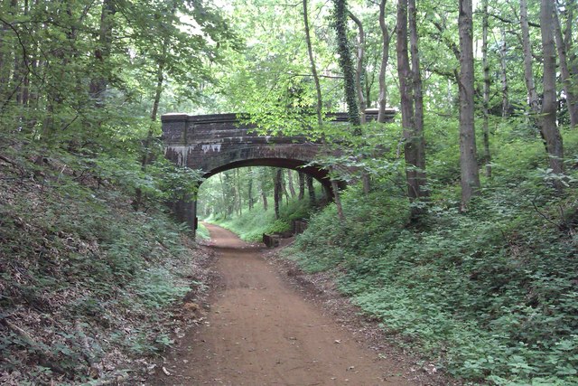
Yew Tree Corner is also known for its historical significance. The area has a rich heritage, with archaeological sites and ancient monuments scattered across the landscape. These remnants of the past provide a glimpse into the area's history and offer a captivating experience for history buffs.
Overall, Yew Tree Corner in Norfolk provides a serene escape from the hustle and bustle of daily life. With its stunning natural beauty, diverse wildlife, and historical charm, it is a destination that appeals to both nature lovers and history enthusiasts.
If you have any feedback on the listing, please let us know in the comments section below.
Yew Tree Corner Images
Images are sourced within 2km of 52.711497/1.1992949 or Grid Reference TG1617. Thanks to Geograph Open Source API. All images are credited.

Yew Tree Corner is located at Grid Ref: TG1617 (Lat: 52.711497, Lng: 1.1992949)
Administrative County: Norfolk
District: Broadland
Police Authority: Norfolk
What 3 Words
///task.money.envoy. Near Horsford, Norfolk
Nearby Locations
Related Wikis

1966 Felthorpe Trident crash
On 3 June 1966, a newly built Hawker Siddeley Trident jetliner crashed during a pre-delivery test flight near the village of Felthorpe, Norfolk, England...

Felthorpe
Felthorpe is a village and civil parish in the English county of Norfolk. The village is located 11 miles (18 km) east of Dereham and 7.1 miles (11.4 km...

Swannington Upgate Common
Swannington Upgate Common is a 20.5-hectare (51-acre) biological Site of Special Scientific Interest north-west of Norwich in Norfolk.This site has varied...

Broadland (UK Parliament constituency)
Broadland is a Norfolk constituency, which has been represented in the House of Commons of the UK Parliament since the 2019 general election by Jerome...

Taverham High School
Taverham High School is a secondary school and sixth form with academy status, located in Taverham in the English county of Norfolk. As well as serving...

Horsford
Horsford is a village six miles north of Norwich, England which is surrounded by the Horsford Forest and is named after the dried up section of the River...

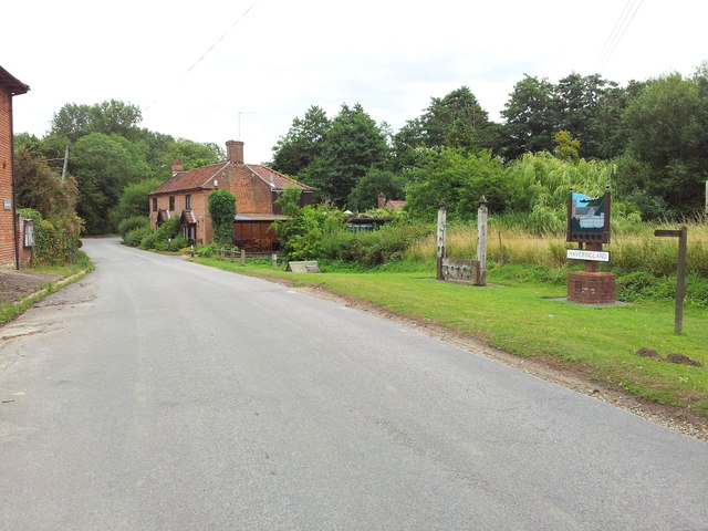
Haveringland
Haveringland is a village and civil parish in the English county of Norfolk about 8 miles (13 km) north-west of Norwich. It covers an area of 8.91 km2...

Attlebridge railway station
Attlebridge railway station is a closed station in Norfolk, England. It served the small village of Attlebridge. It was constructed by the Midland and...
Nearby Amenities
Located within 500m of 52.711497,1.1992949Have you been to Yew Tree Corner?
Leave your review of Yew Tree Corner below (or comments, questions and feedback).