Felthorpe

Settlement in Norfolk Broadland

England

Felthorpe

Old Milepost by the B1149, north of Horsford, Felthorpe parish Concrete post by the B1149, in parish of Felthorpe (Broadland District), 10m North of pull-in/lay-by, on the verge overgrown by brambles and backed by woodland, on West side of road. NCC concrete, erected by the County Council in the 19th/20th century. 

Inscription reads:-
: TO / HOLT / 15 / MILES : : NCC / MAIN ROAD : : FELTHORPE : : TO / NORWICH / 6 / MILES :
Carved benchmark recorded.

Norfolk HER.
NHER Number: 56448 <span class="nowrap"><a title="https://www.heritagegateway.org.uk/Gateway/Results_Single.aspx?uid=MNF62856&resourceID=1002" rel="nofollow ugc noopener" href="https://www.heritagegateway.org.uk/Gateway/Results_Single.aspx?uid=MNF62856&resourceID=1002">Link</a><img style="margin-left:2px;" alt="External link" title="External link - shift click to open in new window" src="https://s1.geograph.org.uk/img/external.png" width="10" height="10"/></span>

Milestone Society National ID: NO_NH06
Old Milepost by the B1149, north of Horsford, Felthorpe parish Credit: Alan Lake

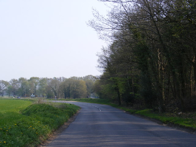
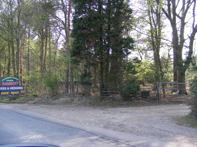
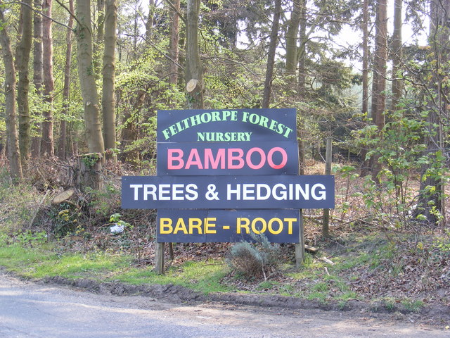
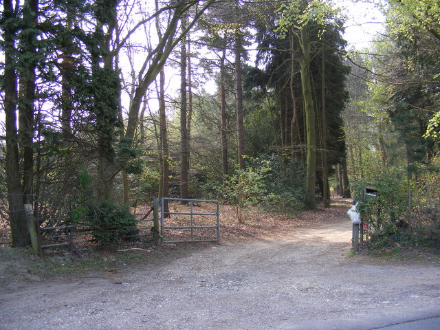
Felthorpe is a quaint village located in the county of Norfolk, England. Situated about 10 miles north of the city of Norwich, it lies in the heart of the picturesque Norfolk countryside. The village is surrounded by rolling fields, woodlands, and expansive farmland, offering residents and visitors a peaceful and idyllic setting.

With a population of just over 500 people, Felthorpe is a close-knit community that exudes a friendly and welcoming atmosphere. The village is characterized by its traditional architecture, featuring charming cottages and old farmhouses. The local church, St. Margaret's, dates back to the 13th century and adds to the village's historical charm.

Felthorpe is well-connected to nearby towns and cities, providing easy access to amenities and services. The city of Norwich, with its vibrant shopping centers, cultural attractions, and excellent educational institutions, is within a short drive. Additionally, the village is located near the Norfolk Broads, a network of rivers and lakes, offering opportunities for boating, fishing, and exploring the unique wetland ecosystem.

The community spirit in Felthorpe is strong, with various local events and activities organized throughout the year. The village hall serves as a hub for social gatherings, and there are several clubs and societies catering to different interests. The surrounding countryside provides ample opportunities for outdoor pursuits, including walking, cycling, and horse riding.

In summary, Felthorpe is a charming and peaceful village in Norfolk, offering a tranquil countryside lifestyle while still being conveniently close to larger towns and cities. Its strong sense of community and beautiful surroundings make it an appealing place to live or visit.

If you have any feedback on the listing, please let us know in the comments section below.
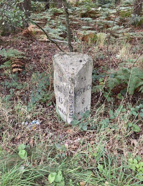
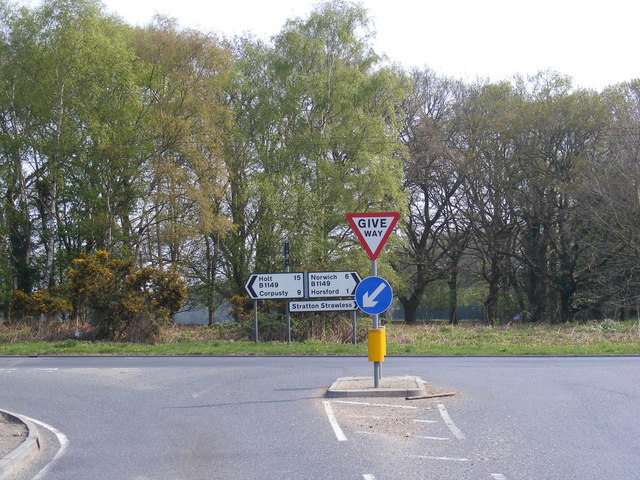
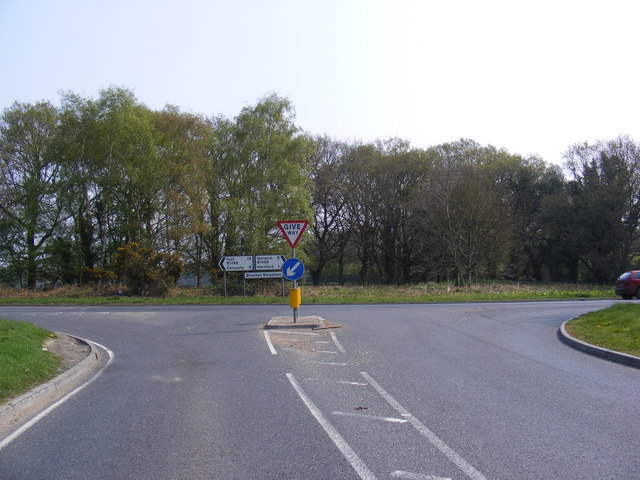
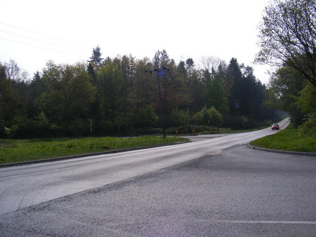
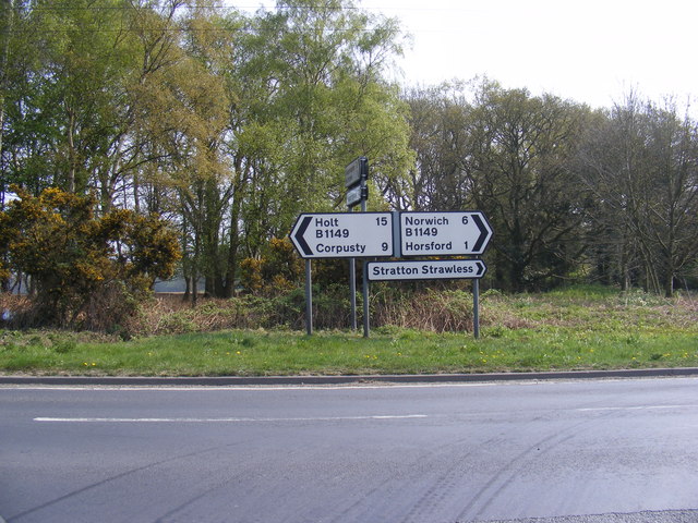
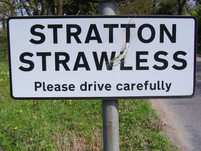
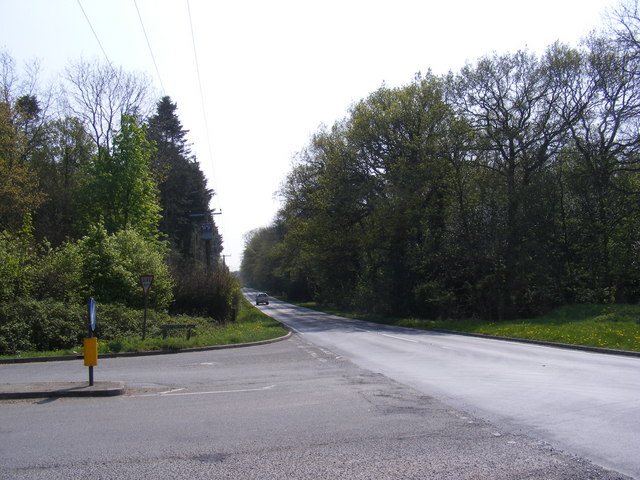
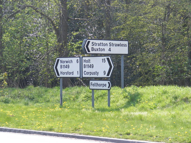
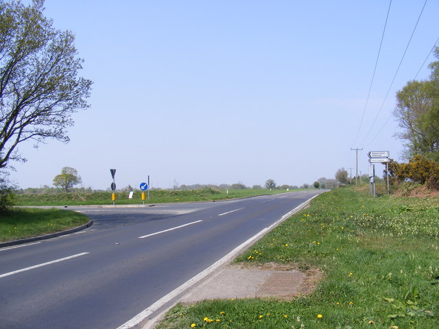
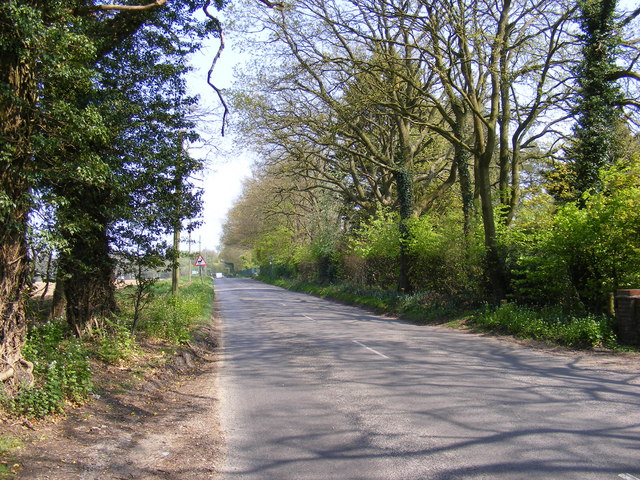
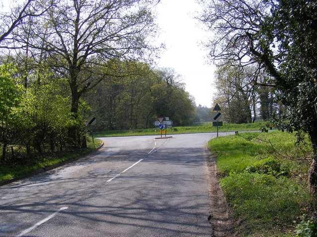
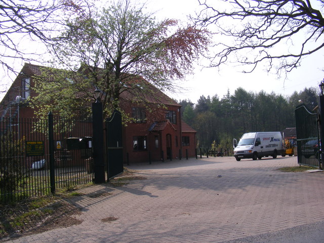
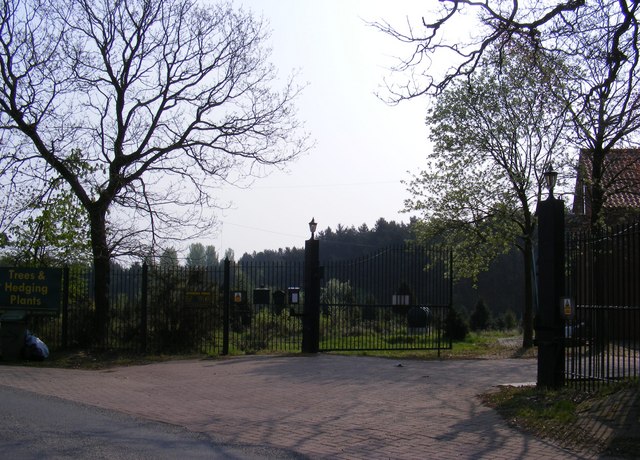
Felthorpe Images

Images are sourced within 2km of 52.714251/1.202737 or Grid Reference TG1617. Thanks to Geograph Open Source API. All images are credited.

Old Milepost by the B1149, north of Horsford, Felthorpe parish Concrete post by the B1149, in parish of Felthorpe (Broadland District), 10m North of pull-in/lay-by, on the verge overgrown by brambles and backed by woodland, on West side of road. NCC concrete, erected by the County Council in the 19th/20th century. 

Inscription reads:-
: TO / HOLT / 15 / MILES : : NCC / MAIN ROAD : : FELTHORPE : : TO / NORWICH / 6 / MILES :
Carved benchmark recorded.

Norfolk HER.
NHER Number: 56448 <span class="nowrap"><a title="https://www.heritagegateway.org.uk/Gateway/Results_Single.aspx?uid=MNF62856&resourceID=1002" rel="nofollow ugc noopener" href="https://www.heritagegateway.org.uk/Gateway/Results_Single.aspx?uid=MNF62856&resourceID=1002">Link</a><img style="margin-left:2px;" alt="External link" title="External link - shift click to open in new window" src="https://s1.geograph.org.uk/img/external.png" width="10" height="10"/></span>

Milestone Society National ID: NO_NH06
Old Milepost by the B1149, north of Horsford, Felthorpe parish
Concrete post by the B1149, in parish of Felthorpe (Broadland District), 10m North of pull-in/lay-by, on the verge overgrown by brambles and backed by woodland, on West side of road. NCC concrete, erected by the County Council in the 19th/20th century. Inscription reads:- : TO / HOLT / 15 / MILES : : NCC / MAIN ROAD : : FELTHORPE : : TO / NORWICH / 6 / MILES : Carved benchmark recorded. Norfolk HER. NHER Number: 56448 LinkExternal link Milestone Society National ID: NO_NH06
Short -Thorn Road Approaching the B1149 Holt Road
Short -Thorn Road
Approaching the B1149 Holt Road
Short -Thorn Road Approaching the B1149 Holt Road
Short -Thorn Road
Approaching the B1149 Holt Road
B1149 Holt Road Looking towards Short-Thorn Road at the junction with Short-Thorn Road
B1149 Holt Road
Looking towards Short-Thorn Road at the junction with Short-Thorn Road
Road signs on the B1149 Holt Road At the junction with Short-Thorn Road
Road signs on the B1149 Holt Road
At the junction with Short-Thorn Road
Stratton Strawless sign On Short-Thorn Road near the junction with the B1149 Holt Road
Stratton Strawless sign
On Short-Thorn Road near the junction with the B1149 Holt Road
Short -Thorn Road sign At the junction with the B1149 Holt Road
Short -Thorn Road sign
At the junction with the B1149 Holt Road
B1149 Holt Road Looking towards Horsford at the junction with Short-Thorn Road
B1149 Holt Road
Looking towards Horsford at the junction with Short-Thorn Road
Roadsigns on the B1149 Holt Road At the junction with Short-Thorn Road
Roadsigns on the B1149 Holt Road
At the junction with Short-Thorn Road
B1149 Holt Road Looking towards Haveringland Road
B1149 Holt Road
Looking towards Haveringland Road
Short -Thorn Road <span class="nowrap"><a title="https://en.wikipedia.org/wiki/Felthorpe" rel="nofollow ugc noopener" href="https://en.wikipedia.org/wiki/Felthorpe">Link</a><img style="margin-left:2px;" alt="External link" title="External link - shift click to open in new window" src="https://s1.geograph.org.uk/img/external.png" width="10" height="10"/></span>
Short -Thorn Road
Short -Thorn Road Approaching the B1149 Holt Road
Short -Thorn Road
Approaching the B1149 Holt Road
Short -Thorn Road, Felthorpe Approaching the B1149 Holt Road
Short -Thorn Road, Felthorpe
Approaching the B1149 Holt Road
The entrance to Felthorpe Forest Nursery Off Short-Thorn Road
The entrance to Felthorpe Forest Nursery
Off Short-Thorn Road
Felthorpe Forest Nursery sign Off Short-Thorn Road
Felthorpe Forest Nursery sign
Off Short-Thorn Road
The entrance to Felthorpe Forest Nursery Off Short-Thorn Road
The entrance to Felthorpe Forest Nursery
Off Short-Thorn Road
Nursery entrance off Short Thorn Road <span class="nowrap"><a title="https://en.wikipedia.org/wiki/Felthorpe" rel="nofollow ugc noopener" href="https://en.wikipedia.org/wiki/Felthorpe">Link</a><img style="margin-left:2px;" alt="External link" title="External link - shift click to open in new window" src="https://s1.geograph.org.uk/img/external.png" width="10" height="10"/></span>
Nursery entrance off Short Thorn Road
Show me another place!

Felthorpe is located at Grid Ref: TG1617 (Lat: 52.714251, Lng: 1.202737)

Administrative County: Norfolk

District: Broadland

Police Authority: Norfolk

What 3 Words

///stun.hoofs.showcase. Near Horsford, Norfolk

Related Wikis

Felthorpe

Felthorpe is a village and civil parish in the English county of Norfolk. The village is located 11 miles (18 km) east of Dereham and 7.1 miles (11.4 km...

1966 Felthorpe Trident crash

On 3 June 1966, a newly built Hawker Siddeley Trident jetliner crashed during a pre-delivery test flight near the village of Felthorpe, Norfolk, England...

Swannington Upgate Common

Swannington Upgate Common is a 20.5-hectare (51-acre) biological Site of Special Scientific Interest north-west of Norwich in Norfolk.This site has varied...

Haveringland

Haveringland is a village and civil parish in the English county of Norfolk about 8 miles (13 km) north-west of Norwich. It covers an area of 8.91 km2...

Nearby Amenities

Located within 500m of 52.714251,1.202737
Felthorpe
Place: village
Source: NPE
Lat/Long: 52.7161556/1.2078538
Nash Road, opp
Naptan AtcoCode: 2900F0410
Naptan Bearing: SW
Naptan BusStopType: CUS
Naptan CommonName: Nash Road
Naptan Indicator: opp
Naptan Landmark: Nash Road
Naptan Locality: Felthorpe
Naptan NaptanCode: nfoapjgp
Naptan ShortCommonName: Nash Road
Naptan Street: The Street
Naptan Verified: no
Source: naptan_import
Lat/Long: 52.7141101/1.2021851
Mariners Arms, adj
Naptan AtcoCode: 2900F0414
Naptan Bearing: SW
Naptan BusStopType: CUS
Naptan CommonName: Mariners Arms
Naptan Indicator: adj
Naptan Landmark: public house
Naptan Locality: Felthorpe
Naptan NaptanCode: nfoapjmd
Naptan ShortCommonName: Mariners Arms
Naptan Street: The Street
Naptan Verified: no
Source: naptan_import
Lat/Long: 52.7159423/1.2065995
Mariners Arms, opp
Naptan AtcoCode: 2900F0415
Naptan Bearing: NE
Naptan BusStopType: CUS
Naptan CommonName: Mariners Arms
Naptan Indicator: opp
Naptan Landmark: public house
Naptan Locality: Felthorpe
Naptan NaptanCode: nfoapjmg
Naptan ShortCommonName: Mariners Arms
Naptan Street: The Street
Naptan Verified: no
Source: naptan_import
Lat/Long: 52.7161117/1.2066564
Bus Stop
Nash Road, adj
Naptan AtcoCode: 2900F042
Naptan Bearing: NE
Naptan CommonName: Nash Road
Naptan Indicator: adj
Naptan Landmark: Nash Road
Naptan Locality: Felthorpe
Naptan NaptanCode: nfoapjmj
Naptan ShortCommonName: Nash Road
Naptan Street: The Street
Naptan Verified: no
Source: naptan_import
Lat/Long: 52.7142665/1.2023891
Turning Circle
Lat/Long: 52.7148421/1.2020625
Entrance: yes
Lat/Long: 52.7159475/1.2067345
Felthorpe
Man Made: village_sign
Material: metal
Old Name: Faltorp
Lat/Long: 52.7137633/1.2015826
Public Bookcase
Booth: K6
Disused Amenity: telephone
Man Made: telephone_box
Public Bookcase Type: phone_box
Lat/Long: 52.7162249/1.2071257
Post Box
Collection Times: Mo-Fr 16:00; Sa 09:15
Operator: Royal Mail
Post Box Type: lamp
Ref: NR10 1035
Royal Cypher: EIIR
Royal Cypher Wikidata: Q33102113
Lat/Long: 52.71625/1.207183
Note: way continues
Lat/Long: 52.7180294/1.1997951
Power: pole
Lat/Long: 52.7162543/1.1970493
Power: pole
Lat/Long: 52.7141502/1.1973899
Power: pole
Lat/Long: 52.7130737/1.197579
Power: pole
Lat/Long: 52.7122368/1.1977346
Power: pole
Lat/Long: 52.7109628/1.1979384
Give Way
Lat/Long: 52.7138489/1.2016838
Give Way
Lat/Long: 52.7138565/1.2014756
The data included in this document is from www.openstreetmap.org. The data is made available under ODbL.

Have you been to Felthorpe?

Leave your review of Felthorpe below (or comments, questions and feedback).