Eyton
Settlement in Shropshire
England
Eyton
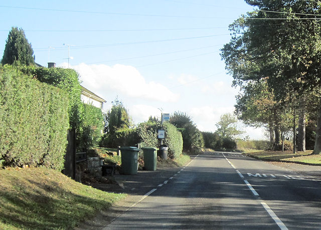
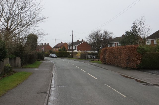
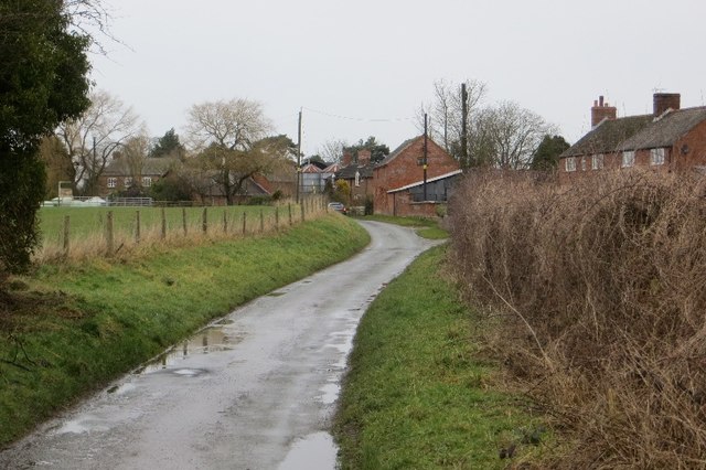
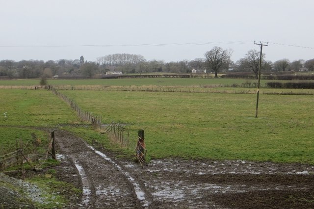
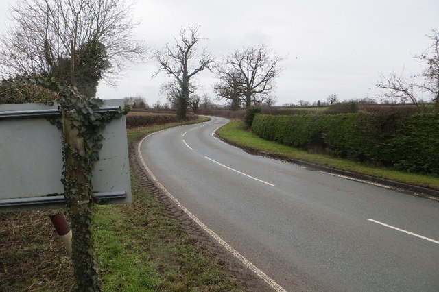
Eyton is a small village located in the county of Shropshire, England. It is situated approximately 4 miles southeast of the town of Shrewsbury and lies close to the River Severn. Eyton is a rural community surrounded by picturesque countryside, offering a quiet and tranquil atmosphere.
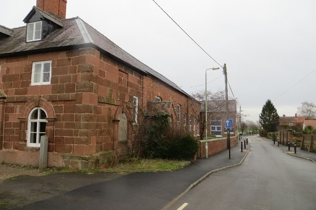
The village is known for its charming architecture, with many traditional stone houses and cottages that showcase its rich history. Eyton boasts a close-knit community, with a population of around 500 residents who take pride in maintaining the village's character and heritage.
One of the notable landmarks in Eyton is the Eyton Hall, a historic stately home that dates back to the 18th century. Surrounded by beautiful gardens and parkland, Eyton Hall is an iconic feature of the village and provides a glimpse into the area's past.
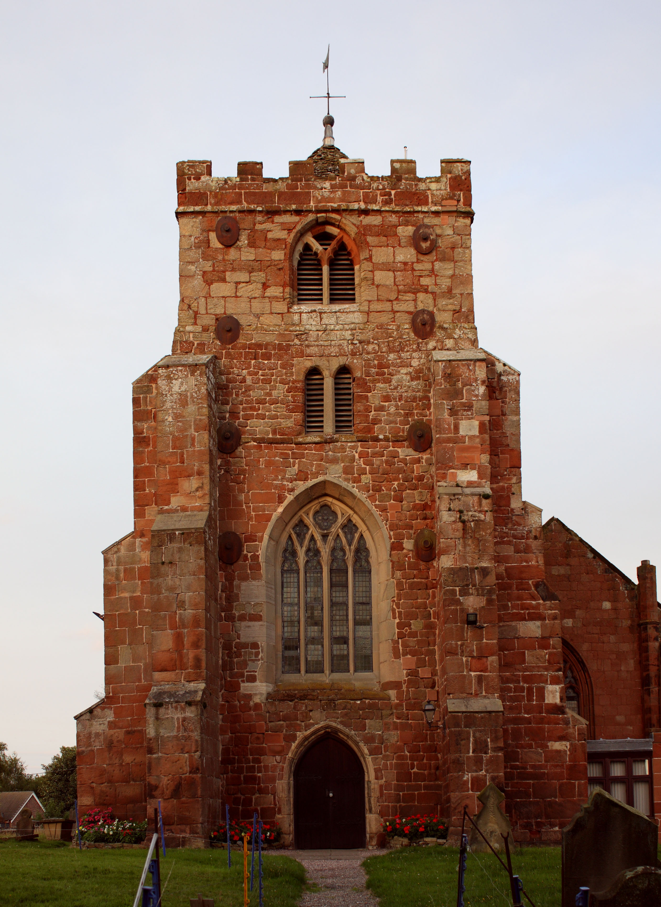
Eyton is also home to a parish church, St. Catherine's Church, which serves as a spiritual and social hub for the local community. The church, with its striking architecture and peaceful setting, offers a place for worship and community gatherings.
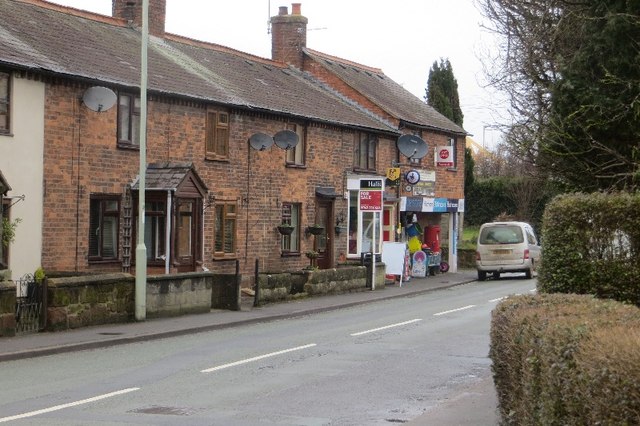
The village benefits from a range of amenities, including a local primary school, a village hall, and a pub, which serves as a popular meeting place for both residents and visitors. The surrounding countryside offers opportunities for outdoor activities such as walking, cycling, and fishing, making Eyton an ideal location for nature enthusiasts.
Overall, Eyton, Shropshire, is a charming and idyllic village that offers a peaceful retreat from the hustle and bustle of nearby towns. Its rich history, scenic beauty, and strong sense of community make it a desirable place to live or visit.
If you have any feedback on the listing, please let us know in the comments section below.
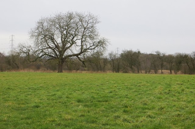
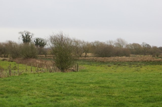
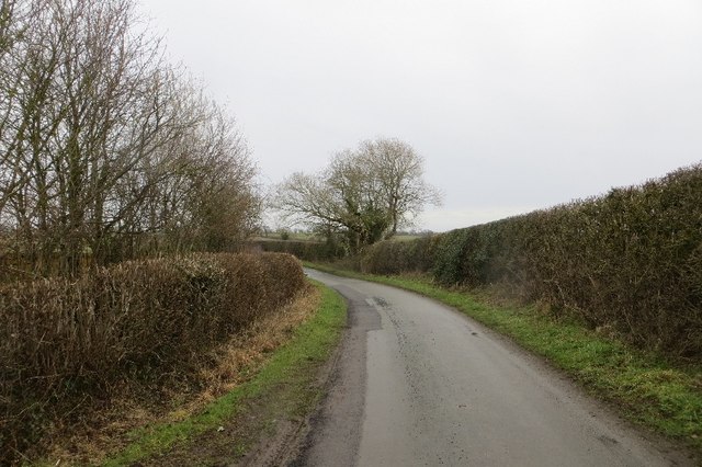
Eyton Images
Images are sourced within 2km of 52.797379/-2.8378014 or Grid Reference SJ4322. Thanks to Geograph Open Source API. All images are credited.
Eyton is located at Grid Ref: SJ4322 (Lat: 52.797379, Lng: -2.8378014)
Unitary Authority: Shropshire
Police Authority: West Merica
What 3 Words
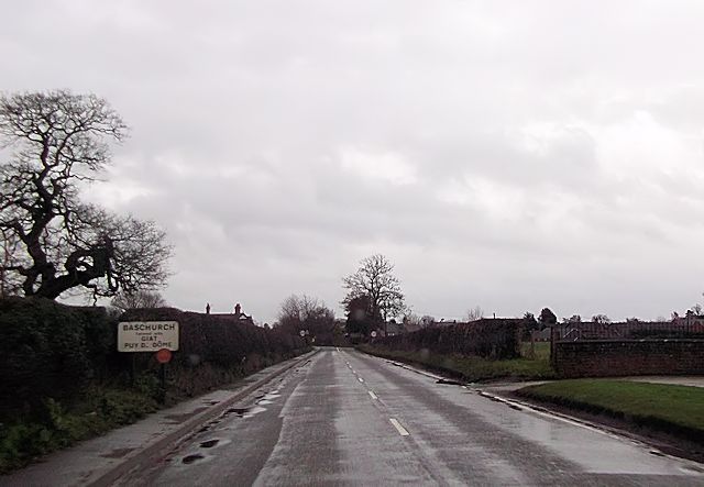
///solutions.generals.eliminate. Near Baschurch, Shropshire
Nearby Locations
Related Wikis

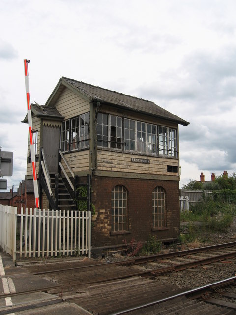
Baschurch railway station
Baschurch railway station was a minor station located about ten miles north of Shrewsbury on the GWR's Paddington to Birkenhead main line. Today this is...

The Corbet School
The Corbet School is a mixed secondary school located in Baschurch in the English county of Shropshire.Originally known as Baschurch Secondary Modern School...
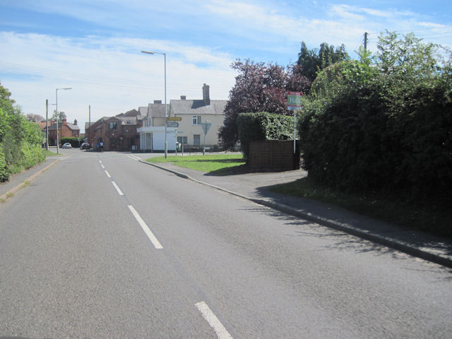
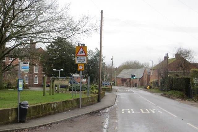
Baschurch
Baschurch is a village and civil parish in Shropshire, England. It lies in the north of Shropshire. The village had a population of 2,503 as of the 2011...

Walford, Shropshire
Walford is a small village in Shropshire, England. It is notable for its agricultural college (Walford and North Shropshire College). The B5067, Shrewsbury...
Nearby Amenities
Located within 500m of 52.797379,-2.8378014Have you been to Eyton?
Leave your review of Eyton below (or comments, questions and feedback).