Eysey

Settlement in Wiltshire

England

Eysey

Priory Park Preparatory School, Cricklade
Priory Park Preparatory School, Cricklade Credit: Jeff Gogarty

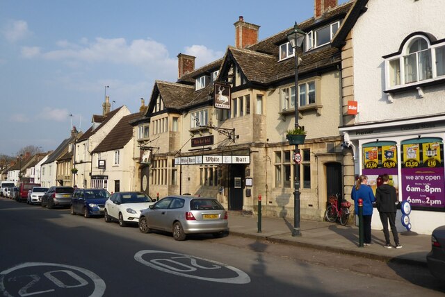
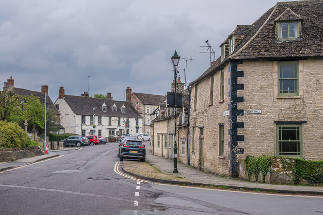
Eysey is a small rural village located in the county of Wiltshire, England. Situated near the town of Cricklade, it has a population of around 200 residents. Eysey is known for its picturesque countryside and charming, traditional English village atmosphere.

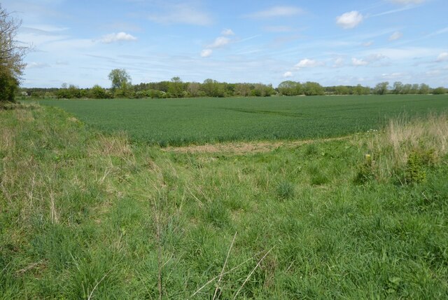
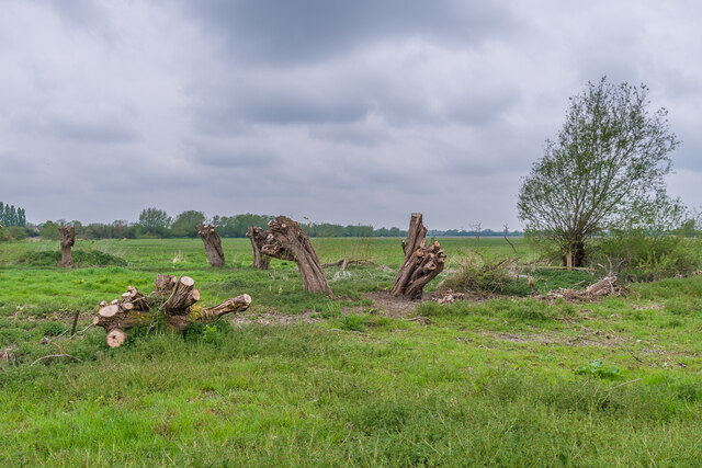
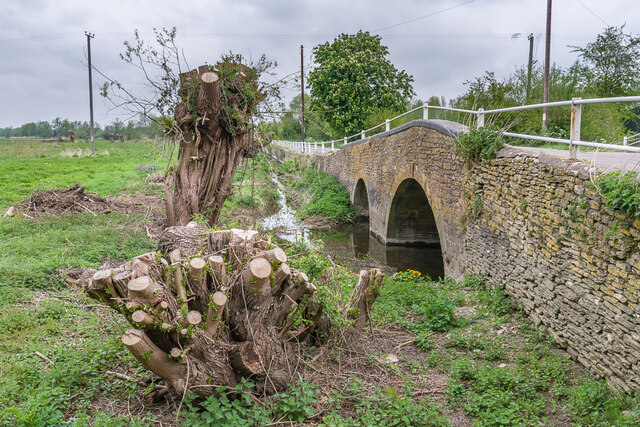
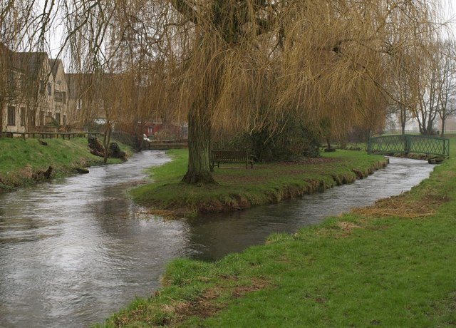
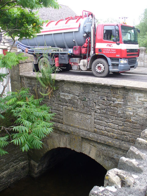
The village is surrounded by beautiful landscapes, with rolling hills, meandering rivers, and lush green fields. The River Thames flows through Eysey, offering scenic views and recreational opportunities. The area is also home to a variety of wildlife, including birds, mammals, and aquatic species.

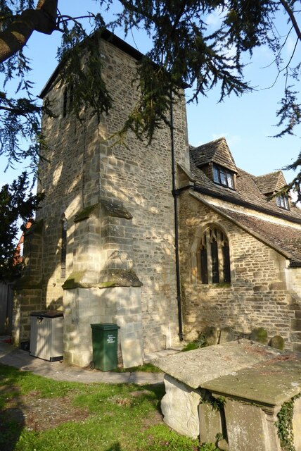
Eysey has a rich history, dating back to Roman times. The village is believed to have been a settlement during the Roman occupation of Britain, and there are remnants of Roman structures in the vicinity. In fact, Eysey is known for its Roman villa, which was discovered in the 19th century and is now a popular tourist attraction.

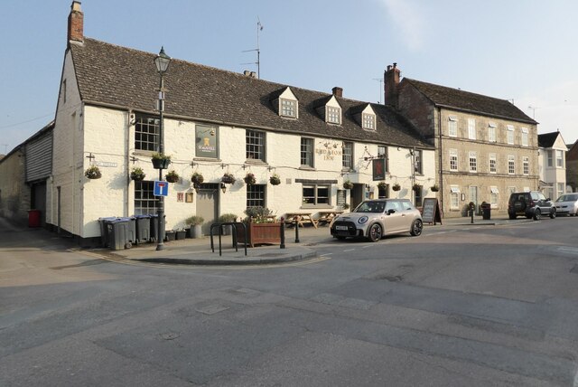
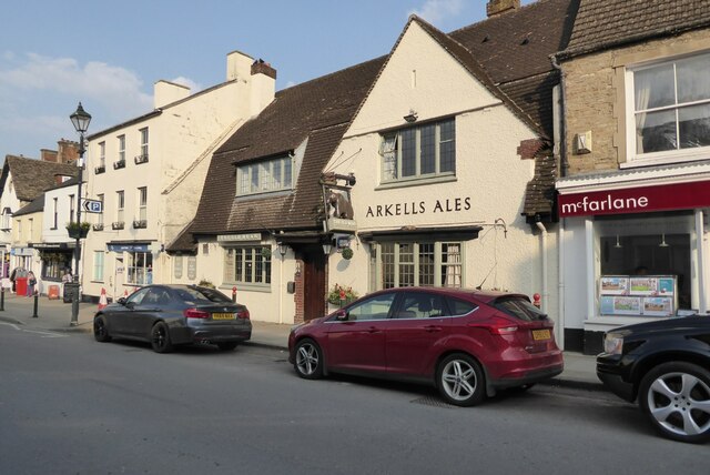
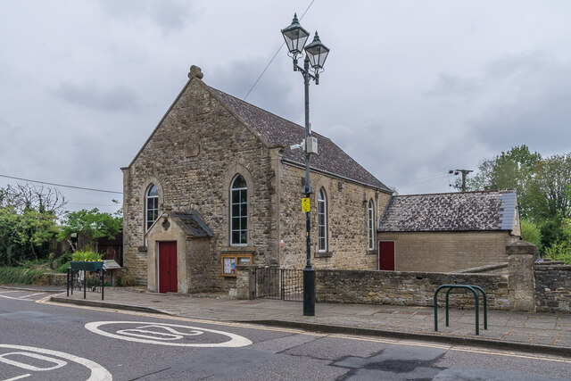
Despite its small size, Eysey has a close-knit community and a strong sense of community spirit. The village has a village hall, which is used for various community events and social gatherings. There is also a local pub, where residents and visitors can enjoy a drink and a meal.

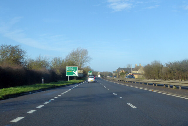
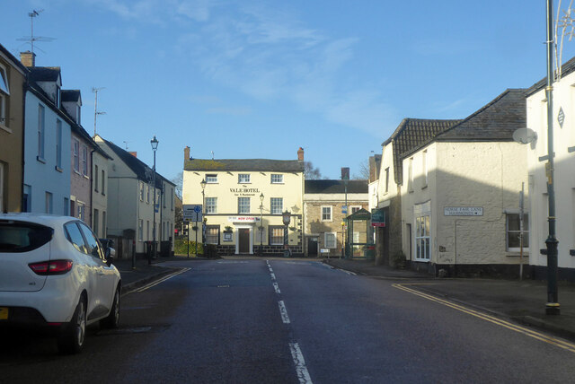
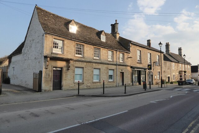
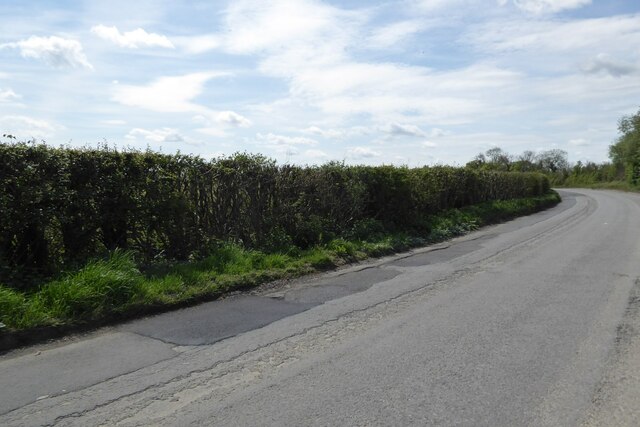
In terms of amenities, Eysey is conveniently located near Cricklade, which offers a range of shops, supermarkets, and other essential services. The village is well-connected to the surrounding areas, with good transportation links to nearby towns and cities.

Overall, Eysey is a delightful village that offers a peaceful and idyllic setting for residents and visitors alike. Its natural beauty, historical significance, and strong community make it a truly special place in Wiltshire.

If you have any feedback on the listing, please let us know in the comments section below.
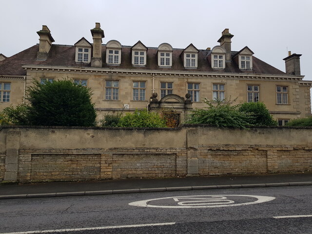
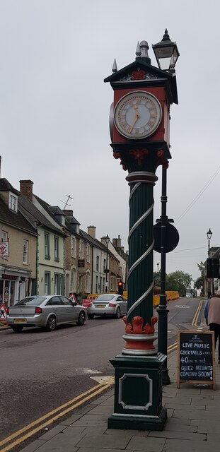
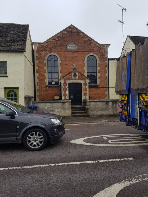
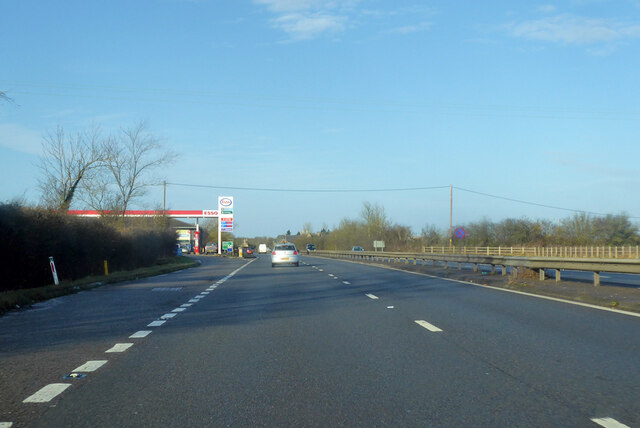
Eysey Images

Images are sourced within 2km of 51.648483/-1.8388571 or Grid Reference SU1194. Thanks to Geograph Open Source API. All images are credited.

Priory Park Preparatory School, Cricklade
Jubilee clock, Cricklade High Street Town clock. 1897. Cast iron painted green. Plinth with dedication plates. Fluted and entwined columns. Three faces with gablets and finials.
Jubilee clock, Cricklade High Street
Town clock. 1897. Cast iron painted green. Plinth with dedication plates. Fluted and entwined columns. Three faces with gablets and finials.
Cricklade Primitive Methodist chapel, Calcutt Street See <span class="nowrap"><a title="https://www.myprimitivemethodists.org.uk/content/chapels/wiltshire-2/a-c/cricklade_primitive_methodist_chapel" rel="nofollow ugc noopener" href="https://www.myprimitivemethodists.org.uk/content/chapels/wiltshire-2/a-c/cricklade_primitive_methodist_chapel">Link</a><img style="margin-left:2px;" alt="External link" title="External link - shift click to open in new window" src="https://s1.geograph.org.uk/img/external.png" width="10" height="10"/></span> for more information.
Cricklade Primitive Methodist chapel, Calcutt Street
See LinkExternal link for more information.
Northbound A419 Towards Cirencester.
Northbound A419
Towards Cirencester.
Northbound A419 Towards Cirencester, approaching the B4040 turn off, for Cricklade and places west.
Northbound A419
Towards Cirencester, approaching the B4040 turn off, for Cricklade and places west.
Calcutt Street and The Vale Hotel, Cricklade The hotel is on the High Street. It is a grade II listed building, early 19th century.
Calcutt Street and The Vale Hotel, Cricklade
The hotel is on the High Street. It is a grade II listed building, early 19th century.
Red Lion, Cricklade A similar view to when I photographed this pub in 2011 in the days leading up to the wedding of Prince William and Catherine Middleton <a href="https://www.geograph.org.uk/photo/2392427">SU1093 : Red Lion, Cricklade</a>.
Red Lion, Cricklade
A similar view to when I photographed this pub in 2011 in the days leading up to the wedding of Prince William and Catherine Middleton SU1093 : Red Lion, Cricklade.
Tower of St Mary's church, Cricklade The tower of St Mary's Roman Catholic church in Cricklade.
Tower of St Mary's church, Cricklade
The tower of St Mary's Roman Catholic church in Cricklade.
The White Hart Hotel, Cricklade The White Hart Hotel on Cricklade's High Street.
The White Hart Hotel, Cricklade
The White Hart Hotel on Cricklade's High Street.
Former Lloyds Bank Many banks in smaller towns have closed in recent years, the recent COVID-19 pandemic has accelerated these closures.  This was the branch in Cricklade, here I photographed it in 2011 <a href="https://www.geograph.org.uk/photo/2384239">SU1093 : Lloyds Bank, Cricklade</a>.
Former Lloyds Bank
Many banks in smaller towns have closed in recent years, the recent COVID-19 pandemic has accelerated these closures. This was the branch in Cricklade, here I photographed it in 2011 SU1093 : Lloyds Bank, Cricklade.
The Old Bear, Cricklade Little changed since when I photographed it in 2011 <a href="https://www.geograph.org.uk/photo/2392432">SU1093 : The Old Bear, Cricklade</a>.
The Old Bear, Cricklade
Little changed since when I photographed it in 2011 SU1093 : The Old Bear, Cricklade.
Jubilee Clock in Cricklade This clock in the centre of Cricklade commemorates the Diamond Jubilee of Queen Victoria in 1897.
Jubilee Clock in Cricklade
This clock in the centre of Cricklade commemorates the Diamond Jubilee of Queen Victoria in 1897.
Farmland on the Down Ampney Estate Farmland on the Down Ampney Estate near Marston Meysey.
Farmland on the Down Ampney Estate
Farmland on the Down Ampney Estate near Marston Meysey.
Country road near Marston Meysey Country road from Cricklade to Marston Meysey.
Country road near Marston Meysey
Country road from Cricklade to Marston Meysey.
Pollarded Crack Willow Recently pollarded Crack Willow (Salix fragilis) by a drain bordering North Meadow.
Pollarded Crack Willow
Recently pollarded Crack Willow (Salix fragilis) by a drain bordering North Meadow.
Pollarded Crack Willow Recently pollarded Crack Willow (Salix fragilis) by a High Bridge.
Pollarded Crack Willow
Recently pollarded Crack Willow (Salix fragilis) by a High Bridge.
High Street Looking along High Street from by Town Bridge.  Most of the buildings seen here date from the early 18th to 19th Centuries and are grade II listed.  The Red Lion, in the background, is Georgian - see <span class="nowrap"><a title="https://historicengland.org.uk/listing/the-list/list-entry/1183223?section=official-list-entry" rel="nofollow ugc noopener" href="https://historicengland.org.uk/listing/the-list/list-entry/1183223?section=official-list-entry">Link</a><img style="margin-left:2px;" alt="External link" title="External link - shift click to open in new window" src="https://s1.geograph.org.uk/img/external.png" width="10" height="10"/></span> for listing.
High Street
Looking along High Street from by Town Bridge. Most of the buildings seen here date from the early 18th to 19th Centuries and are grade II listed. The Red Lion, in the background, is Georgian - see LinkExternal link for listing.
Thames Hall Former Methodist chapel by Town Bridge, now a community hall.
Thames Hall
Former Methodist chapel by Town Bridge, now a community hall.
Show me another place!

Eysey is located at Grid Ref: SU1194 (Lat: 51.648483, Lng: -1.8388571)

Unitary Authority: Wiltshire

Police Authority: Wiltshire

What 3 Words

///heaven.withdrew.noon. Near Cricklade, Wiltshire

Nearby Locations

Eysey

Related Wikis

Calcutt, Wiltshire

Calcutt is a hamlet about 3⁄4 mile (1.2 km) east of Cricklade in Wiltshire, England. It lies near the River Thames and is divided by the A419 Swindon-Cricklade...

River Churn

The River Churn is a tributary of the River Thames in central England. It rises at Seven Springs in Gloucestershire and flows south for approximately 37...

Cricklade Town Bridge

Cricklade Town Bridge is a road bridge at Cricklade, Wiltshire, England across the River Thames. It is a Grade II listed building. == History == Formerly...

River Ray, Wiltshire

The River Ray is a tributary of the River Thames in England which flows through Wiltshire. The river rises at Wroughton to the south of Swindon and runs...

Nearby Amenities

Located within 500m of 51.648483,-1.8388571
Barrier: kissing_gate
Lat/Long: 51.645284/-1.8383068
North Wilts Canal
Lock: yes
Lock Name: Cricklade Lock 3
Planned: canal
Waterway: planned
Lat/Long: 51.6459021/-1.8430394
Eysey
Place: hamlet
Lat/Long: 51.6479991/-1.8375011
The data included in this document is from www.openstreetmap.org. The data is made available under ODbL.

Have you been to Eysey?

Leave your review of Eysey below (or comments, questions and feedback).