Eyewell

Settlement in Somerset South Somerset

England

Eyewell

Hazlegrove House, Sparkford, Yeovil Now a preparatory school <span class="nowrap"><a title="http://www.hazlegrove.co.uk" rel="nofollow ugc noopener" href="http://www.hazlegrove.co.uk">Link</a><img style="margin-left:2px;" alt="External link" title="External link - shift click to open in new window" src="https://s1.geograph.org.uk/img/external.png" width="10" height="10"/></span>. Seen from the Little Chef on the A303 at Camel Hill, about 250m east of the junction with Gason Lane.
Hazlegrove House, Sparkford, Yeovil Credit: Andy Potter

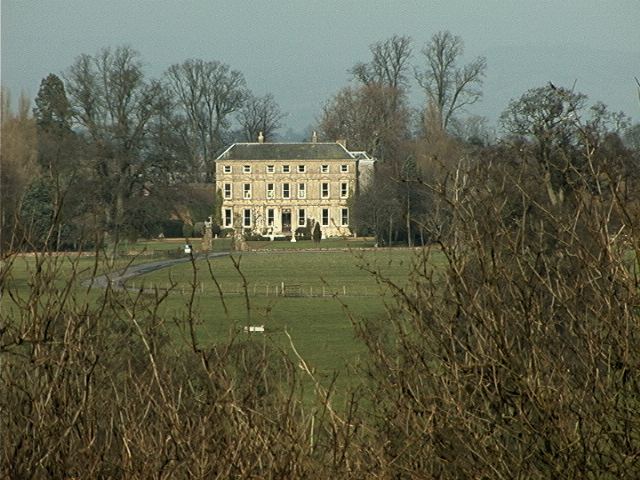
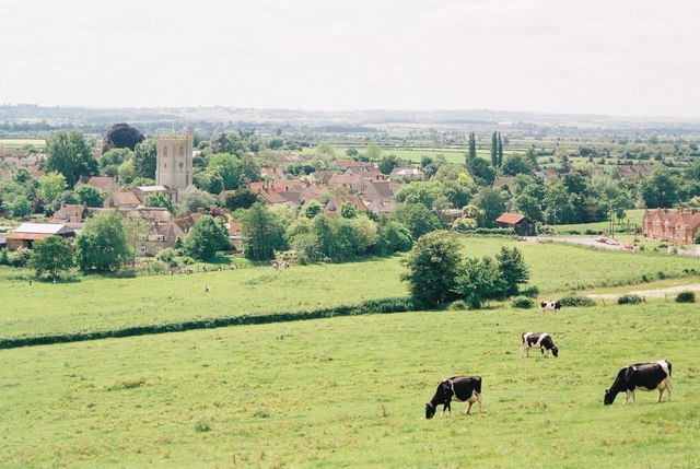
Eyewell is a small village located in the county of Somerset, England. Situated approximately 10 miles northeast of Taunton, it is nestled in the picturesque countryside of the Blackdown Hills Area of Outstanding Natural Beauty. Eyewell is a close-knit community with a population of around 500 residents.

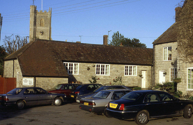
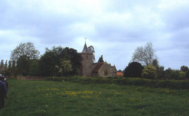
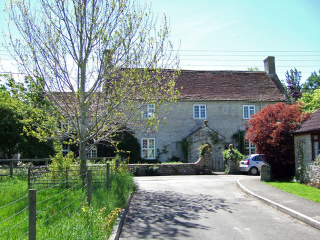
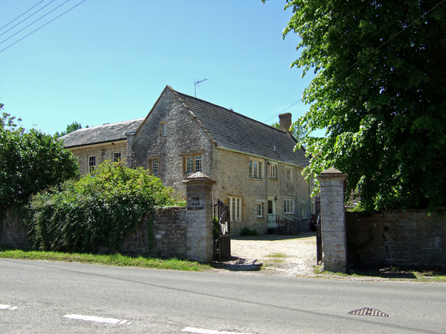
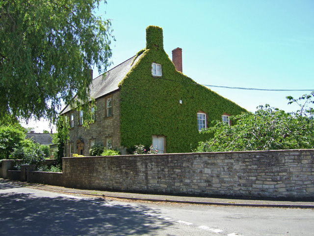
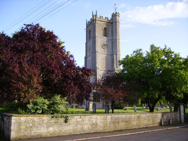
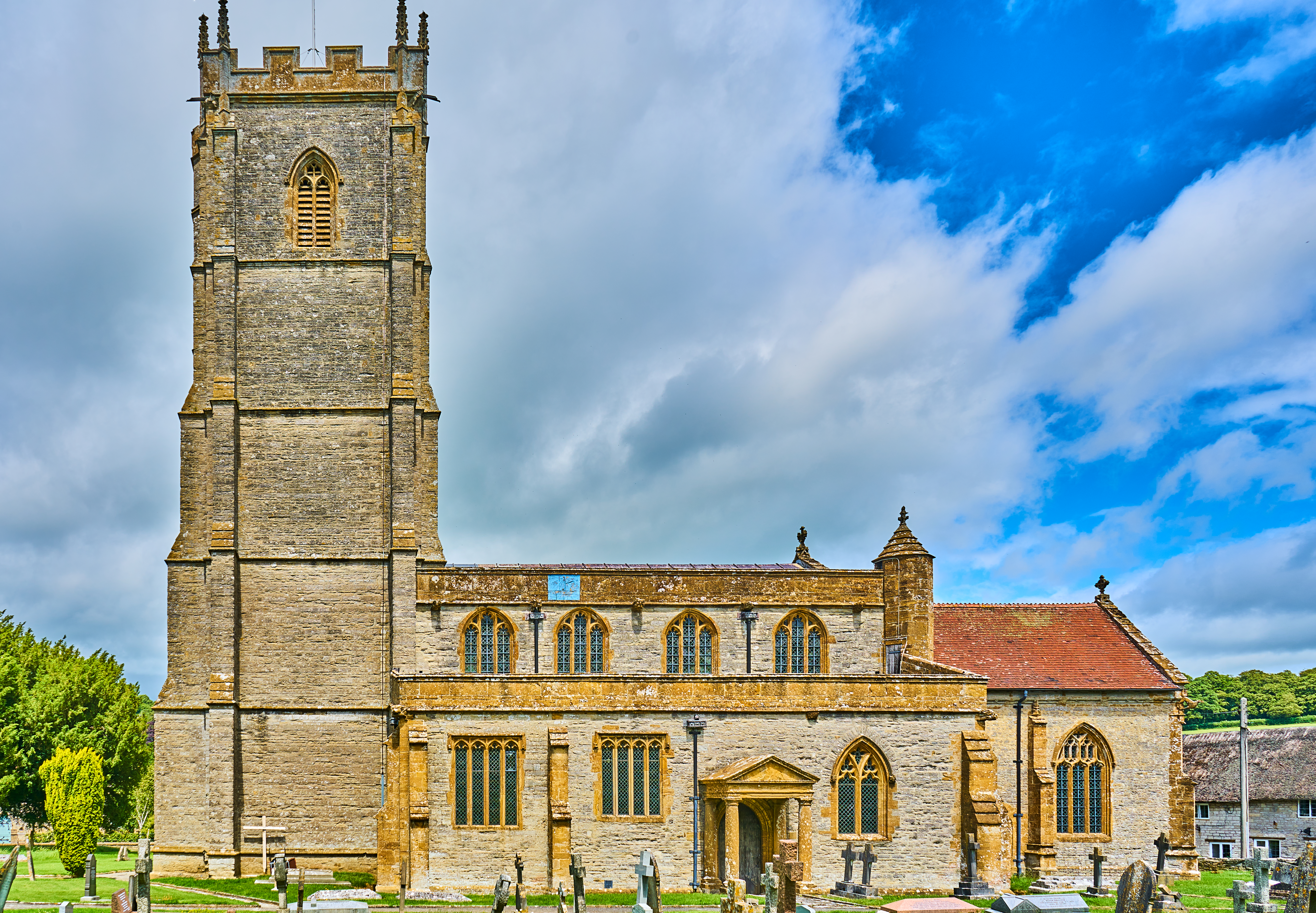
The village is known for its charming and traditional architecture, with many well-preserved thatched cottages and historic buildings. One notable landmark is the 12th-century Church of St. Mary, which showcases impressive medieval stonework and stained glass windows. The church is a focal point for community gatherings and religious ceremonies.

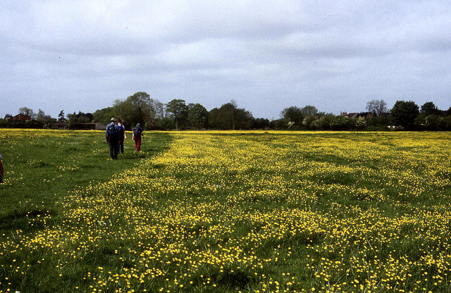
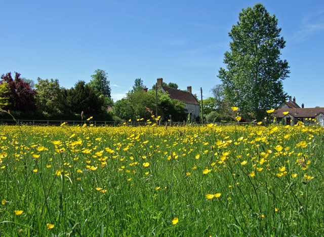
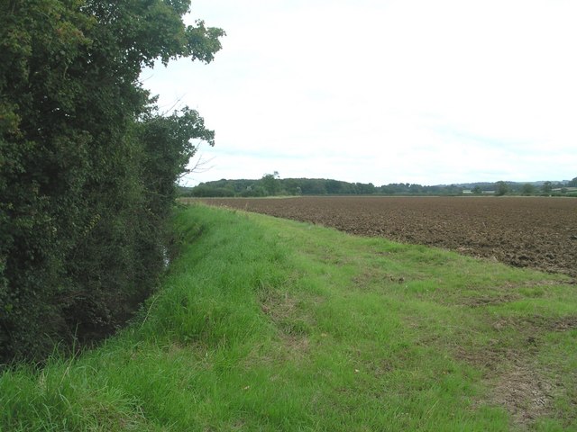
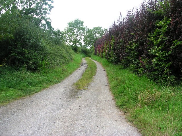
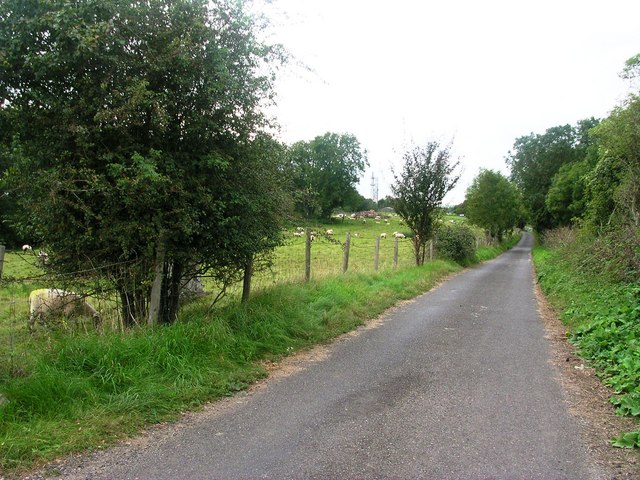
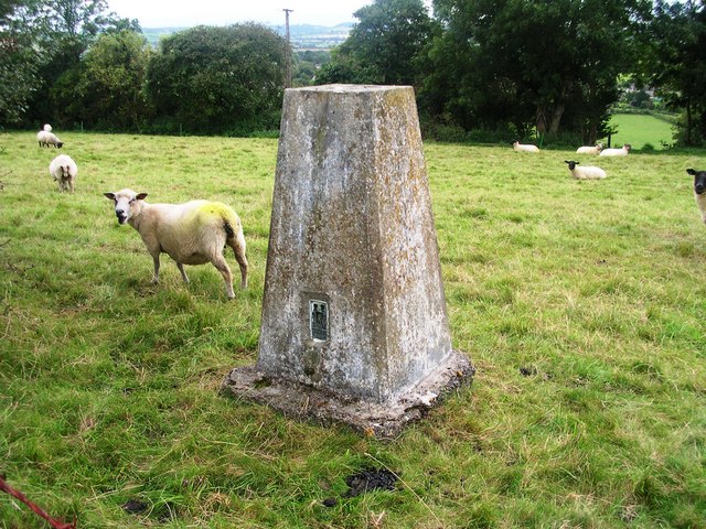
Eyewell benefits from its rural setting, providing residents with access to beautiful natural surroundings. The nearby Blackdown Hills offer numerous walking trails and opportunities for outdoor activities, making it popular with hikers and nature enthusiasts. The village is also surrounded by rolling hills and fields, creating a tranquil and idyllic atmosphere.

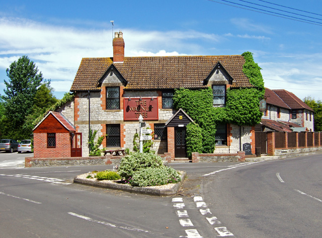
Despite its small size, Eyewell has a strong sense of community spirit. The village hosts regular events and activities, including a summer fete and a Christmas market, which bring locals together. The village pub, The Blackbird Inn, is a popular meeting spot for residents and visitors alike, offering a warm and friendly atmosphere.

Eyewell is well-connected to the surrounding areas by road, with easy access to major transport links such as the M5 motorway and Taunton railway station. This allows residents to enjoy the tranquility of village life while having convenient access to amenities in nearby towns and cities.

If you have any feedback on the listing, please let us know in the comments section below.
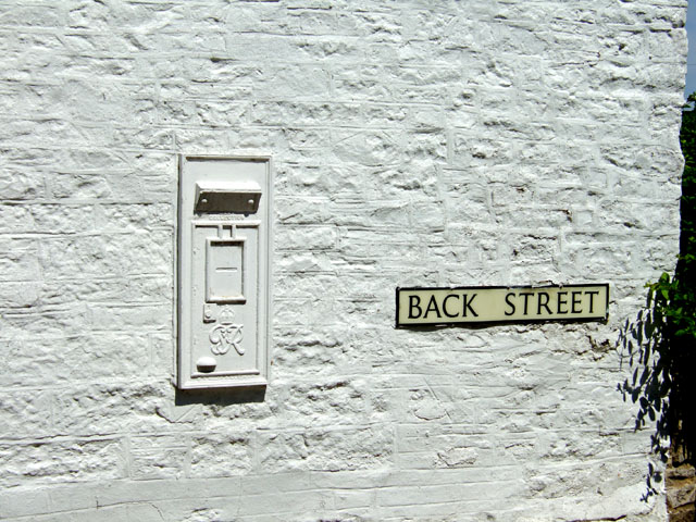
Eyewell Images

Images are sourced within 2km of 51.024916/-2.589066 or Grid Reference ST5825. Thanks to Geograph Open Source API. All images are credited.

Hazlegrove House, Sparkford, Yeovil Now a preparatory school <span class="nowrap"><a title="http://www.hazlegrove.co.uk" rel="nofollow ugc noopener" href="http://www.hazlegrove.co.uk">Link</a><img style="margin-left:2px;" alt="External link" title="External link - shift click to open in new window" src="https://s1.geograph.org.uk/img/external.png" width="10" height="10"/></span>. Seen from the Little Chef on the A303 at Camel Hill, about 250m east of the junction with Gason Lane.
Hazlegrove House, Sparkford, Yeovil
Now a preparatory school LinkExternal link. Seen from the Little Chef on the A303 at Camel Hill, about 250m east of the junction with Gason Lane.
Mildmay Arms, Queen Camel Fronting onto the A359, this is the local hostelry for the residents of Queen Camel - the photograph also showing the church tower behind
Mildmay Arms, Queen Camel
Fronting onto the A359, this is the local hostelry for the residents of Queen Camel - the photograph also showing the church tower behind
Leland Trail near Queen Camel Following the trail westwards through meadows towards West Camel
Leland Trail near Queen Camel
Following the trail westwards through meadows towards West Camel
All Saints Church, West Camel The church is the first building encountered in the village for Leland Trail walkers approaching from Queen Camel
All Saints Church, West Camel
The church is the first building encountered in the village for Leland Trail walkers approaching from Queen Camel
The Walnut Tree at West Camel
Naish's Farmhouse - West Camel Early C18 farmhouse, Grade II* listed.
Naish's Farmhouse - West Camel
Early C18 farmhouse, Grade II* listed.
Buttercups - West Camel
The Old Rectory - West Camel Former rectory, Grade II* listed. Probably early C15 with modifications and major additions of circa 1830.
The Old Rectory - West Camel
Former rectory, Grade II* listed. Probably early C15 with modifications and major additions of circa 1830.
The Manor House - West Camel Late C18 Grade II listed.
The Manor House - West Camel
Late C18 Grade II listed.
Redundant Postbox at Back Street West Camel
St Barnabas Church Queen Camel Medieval church  dated 1400 to 1500
St Barnabas Church Queen Camel
Medieval church dated 1400 to 1500
Queen Camel from Sparkford Hill
View along Dyke Brook towards Yarcombe Wood Taken from field access looking east along Dyke Brook
View along Dyke Brook towards Yarcombe Wood
Taken from field access looking east along Dyke Brook
Slate Lane View west along Slate Late - public way
Slate Lane
View west along Slate Late - public way
Milestone at Canegore Corner Southern verge of A303
Milestone at Canegore Corner
Southern verge of A303
RNAS Yeovilton aerial farm Another aerial farm, beside the A303 near Sparkford
RNAS Yeovilton aerial farm
Another aerial farm, beside the A303 near Sparkford
Gason Lane View west along Gason Lane by trig point with radio masts in background
Gason Lane
View west along Gason Lane by trig point with radio masts in background
Trig Point 1885 on Camel Hill By Gason Lane
Trig Point 1885 on Camel Hill
By Gason Lane
Show me another place!

Eyewell is located at Grid Ref: ST5825 (Lat: 51.024916, Lng: -2.589066)

Administrative County: Somerset

District: South Somerset

Police Authority: Avon and Somerset

What 3 Words

///managers.underline.native. Near Ilchester, Somerset

Related Wikis

Queen Camel

Queen Camel is a village and civil parish, on the River Cam and the A359 road, in the unitary authority of Somerset, England. It is about 7 miles (11.3...

West Camel

West Camel is a village and civil parish in south Somerset, England, about 7 miles (11.3 km) north of the town of Yeovil. It lies either side of the River...

Church of All Saints, West Camel

The Church of All Saints in West Camel, Somerset, England, dates from the late 14th century and has been designated as a Grade I listed building.There...

Church of St Barnabas, Queen Camel

The Church of St Barnabas in Queen Camel, Somerset, England was built in the 14th century and has been designated as a Grade I listed building.A former...

Camelot (ward)

Camelot is an electoral ward of South Somerset District Council in Somerset, England. It is one of the wards that makes up the parliamentary constituency...

Haynes International Motor Museum

Haynes Motor Museum at Sparkford near Yeovil in Somerset, England, contains over 400 cars and motorcycles and a collection of other automobilia. The museum...

Sparkford

Sparkford is a village and civil parish in Somerset, England. The parish includes the village of Weston Bampfylde. It is situated near the junction of...

Hazlegrove Preparatory School

Hazlegrove Preparatory School is a non-selective co-educational preparatory school at Sparkford, Somerset in the south west of England. Hazlegrove is part...

Nearby Amenities

Located within 500m of 51.024916,-2.589066
Man Made: tower
Source: Bing
Tower Type: communication
Lat/Long: 51.0274214/-2.5881805
Man Made: tower
Source: Bing
Tower Type: communication
Lat/Long: 51.0273273/-2.5872256
Man Made: tower
Source: Bing
Tower Type: communication
Lat/Long: 51.0273809/-2.5862922
Man Made: tower
Source: Bing
Tower Type: communication
Lat/Long: 51.0275024/-2.586893
Man Made: tower
Source: Bing
Tower Type: communication
Lat/Long: 51.027273/-2.5878264
Man Made: tower
Source: Bing
Tower Type: communication
Lat/Long: 51.0271549/-2.5886048
Man Made: tower
Source: Bing
Tower Type: communication
Lat/Long: 51.0274622/-2.5875475
Man Made: tower
Source: Bing
Tower Type: communication
Lat/Long: 51.0272325/-2.5882985
Kerb: no
Lat/Long: 51.0277715/-2.58606
Motorway Junction
Hazlegrove
Source: https://vimeo.com/577717805/222d4dc68b
Lat/Long: 51.0277995/-2.5870613
The data included in this document is from www.openstreetmap.org. The data is made available under ODbL.

Have you been to Eyewell?

Leave your review of Eyewell below (or comments, questions and feedback).