Faenor
Settlement in Brecknockshire
Wales
Faenor
Faenor is a small village located in the county of Brecknockshire, Wales. Situated in the scenic countryside, it is nestled amidst rolling hills and green pastures. With a population of just under 500 residents, Faenor has a close-knit community that is known for its friendly and welcoming atmosphere.
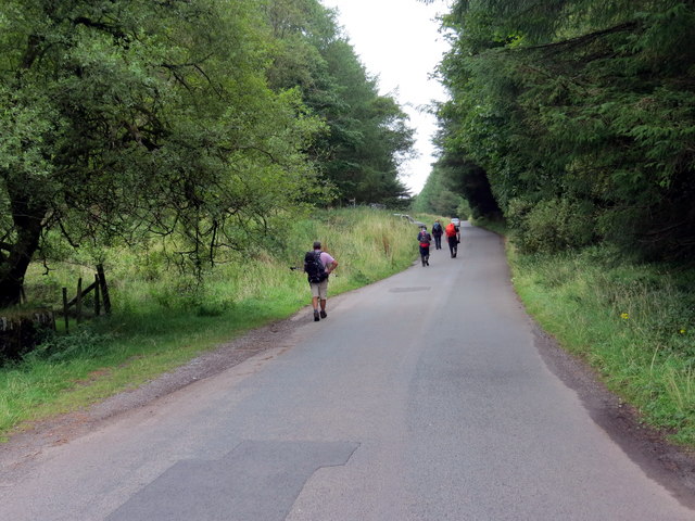
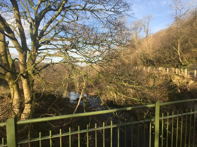
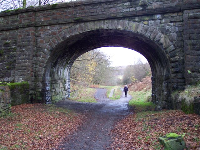
The village is renowned for its picturesque beauty, attracting visitors from far and wide. Its idyllic setting makes it a popular destination for nature enthusiasts and hikers, as it offers numerous trails and paths to explore the surrounding countryside. One of the highlights is the Faenor Nature Reserve, a protected area that boasts diverse wildlife and rare plant species.
In terms of amenities, Faenor provides essential services to its residents. The village has a primary school, a post office, and a local shop which caters to the everyday needs of the community. Additionally, there are a handful of small businesses, including a cozy café and a traditional pub, offering a warm gathering place for locals and tourists alike.
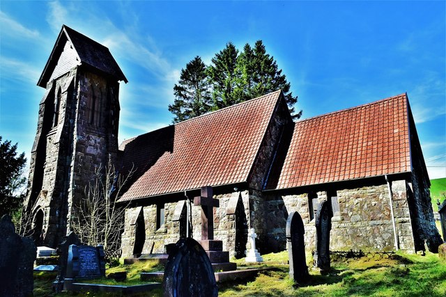
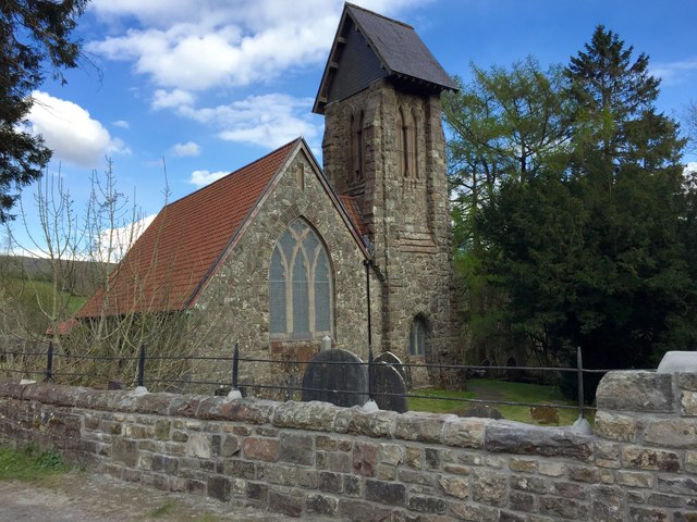
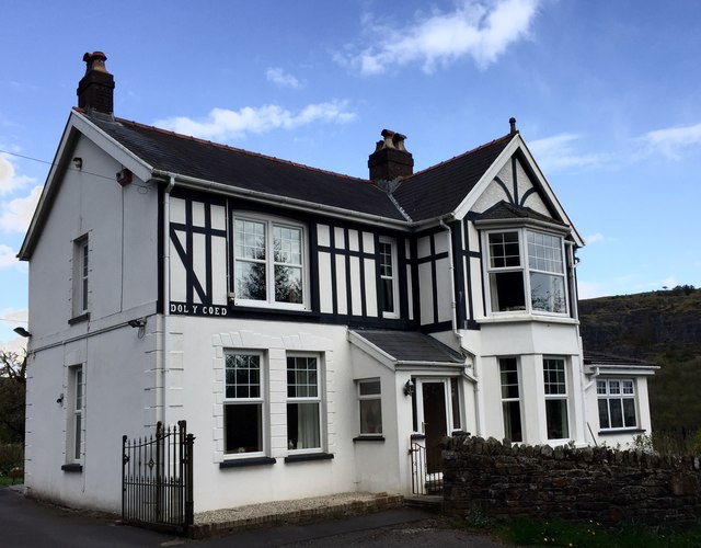
Faenor's history can be traced back centuries, and its heritage can still be seen in the architecture of its buildings. The village retains some well-preserved historic structures, such as the 13th-century St. Mary's Church, which stands as a testament to its past.
Overall, Faenor is a charming village that captures the essence of rural Wales. Its natural beauty, tight-knit community, and historical significance make it a delightful place to visit or reside in for those seeking a peaceful retreat in the heart of Brecknockshire.
If you have any feedback on the listing, please let us know in the comments section below.
Faenor Images
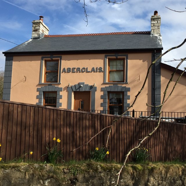
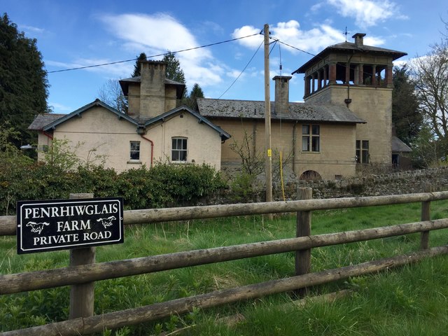
Images are sourced within 2km of 51.786087/-3.3805575 or Grid Reference SO0410. Thanks to Geograph Open Source API. All images are credited.


Faenor is located at Grid Ref: SO0410 (Lat: 51.786087, Lng: -3.3805575)
Unitary Authority: Merthyr Tydfil
Police Authority: South Wales
Also known as: Vaynor
What 3 Words
///cloak.decay.tapes. Near Merthyr Tydfil
Related Wikis

Vaynor
Vaynor (Welsh: Y Faenor, meaning "The Manor") is a village and community (formerly a parish) in Merthyr Tydfil County Borough in Wales, United Kingdom...
Pontsticill
Pontsticill is a village within the County Borough of Merthyr Tydfil in South Wales. It lies within the valley of the Taf Fechan on the southern edge of...
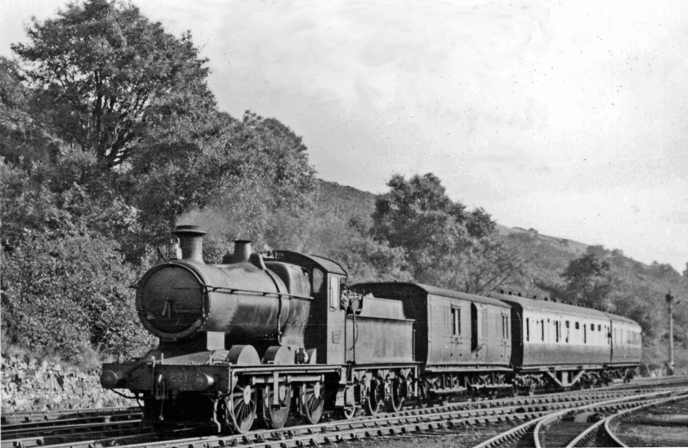
Pontsarn Halt railway station
Pontsarn Halt railway station served the village of Vaynor and the area of Pontsarn, Glamorgan, Wales, 1869 to 1961 on the Brecon and Merthyr Tydfil Junction...

Nant Glais Caves
The Nant Glais Caves are a collection of six caves located near Vaynor in Merthyr Tydfil County Borough, South Wales. The largest cave, Ogof Rhyd Sych...
Nearby Amenities
Located within 500m of 51.786087,-3.3805575Have you been to Faenor?
Leave your review of Faenor below (or comments, questions and feedback).