Ellister

Settlement in Argyllshire

Scotland

Ellister

Port Ellister
Port Ellister Credit: thejackrustles

The requested URL returned error: 429 Too Many Requests

If you have any feedback on the listing, please let us know in the comments section below.
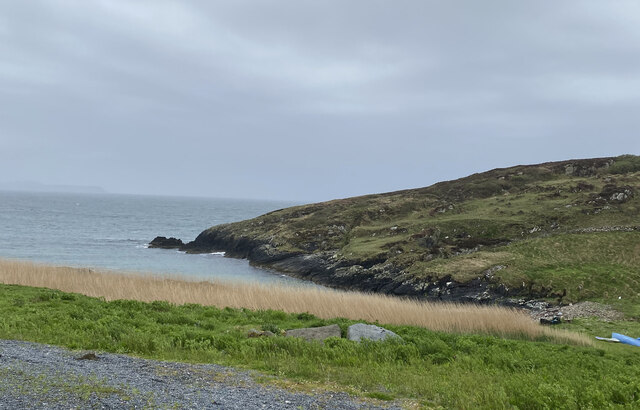
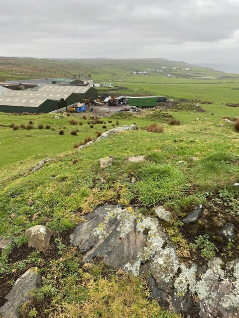
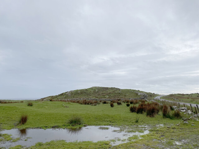
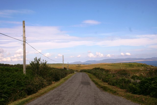
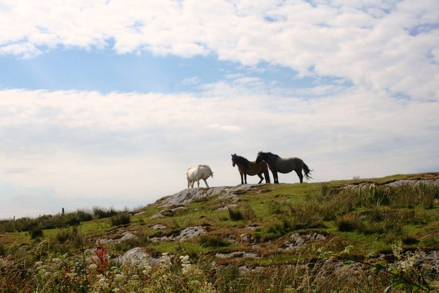
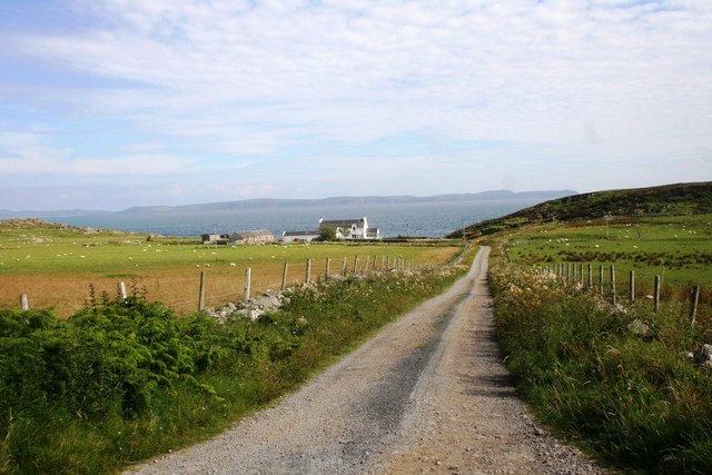
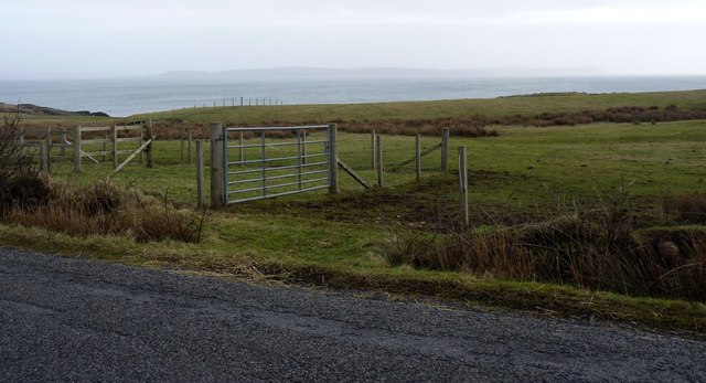
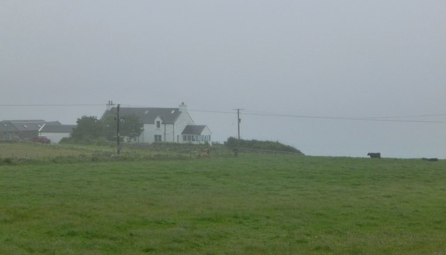
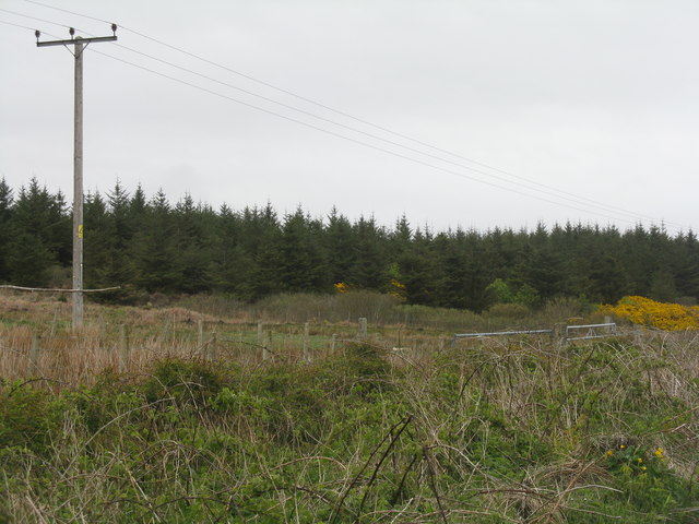
Ellister Images

Images are sourced within 2km of 55.693116/-6.4536898 or Grid Reference NR2053. Thanks to Geograph Open Source API. All images are credited.

Port Ellister
Port Ellister
Octofad Pipe <span class="nowrap"><a title="http://trigpointing.uk/trig/9483" rel="nofollow ugc noopener" href="http://trigpointing.uk/trig/9483">Link</a><img style="margin-left:2px;" alt="External link" title="External link - shift click to open in new window" src="https://s1.geograph.org.uk/img/external.png" width="10" height="10"/></span>
<span class="nowrap"><a title="http://trigpointing.uk/wiki/Pipe" rel="nofollow ugc noopener" href="http://trigpointing.uk/wiki/Pipe">Link</a><img style="margin-left:2px;" alt="External link" title="External link - shift click to open in new window" src="https://s1.geograph.org.uk/img/external.png" width="10" height="10"/></span>
Not much is known about pipes. There are 21 listed on T:UK, all in Scotland.
Lewis and Harris (1)
Islay (16)
Gigha (3)
Kintyre Peninsula (1)
Octofad Pipe
LinkExternal link LinkExternal link Not much is known about pipes. There are 21 listed on T:UK, all in Scotland. Lewis and Harris (1) Islay (16) Gigha (3) Kintyre Peninsula (1)
Cnoc Dubh
Cnoc Dubh
A847 by Ellister The A847 heading towards Easter Ellister with a view north to Loch Indaal.
A847 by Ellister
The A847 heading towards Easter Ellister with a view north to Loch Indaal.
High Horses Horses on high ground by Wester Ellister.
High Horses
Horses on high ground by Wester Ellister.
Wester Ellister The access road to the coastal farm of Wester Elister off the A847.
Wester Ellister
The access road to the coastal farm of Wester Elister off the A847.
Moor by Cladville Moorland by Ben Cladville.
Moor by Cladville
Moorland by Ben Cladville.
Wester Ellister, Islay
Approaching Heather Field, Islay
Fields near Wester Ellister, Islay
Ruined building at Ballimony A derelict building at Ballimony on the Rinns of Islay
Ruined building at Ballimony
A derelict building at Ballimony on the Rinns of Islay
Fence, moorland and forestry near Ballimony, Islay The fence is marked as a blue, not black line on the Explorer Map.
Fence, moorland and forestry near Ballimony, Islay
The fence is marked as a blue, not black line on the Explorer Map.
Wester Ellister The adjacent Port Ellister is lost in the Islay mist.
Wester Ellister
The adjacent Port Ellister is lost in the Islay mist.
Rough pasture and forestry Looking east from near Ben Cladville.
Rough pasture and forestry
Looking east from near Ben Cladville.
Pasture at Wester Ellister Looking southwest to the farm.
Pasture at Wester Ellister
Looking southwest to the farm.
Forestry plantation at Wester Ellister With marginal Willow scrub and Gorse, and roadside Brambles.
Forestry plantation at Wester Ellister
With marginal Willow scrub and Gorse, and roadside Brambles.
Forestry on Islay With roadside willows and moorland near Ellister.
Forestry on Islay
With roadside willows and moorland near Ellister.
Willows scrub and forestry Looking northwest from the A847 near Ellister.
Willows scrub and forestry
Looking northwest from the A847 near Ellister.
Show me another place!

Ellister is located at Grid Ref: NR2053 (Lat: 55.693116, Lng: -6.4536898)

Unitary Authority: Argyll and Bute

Police Authority: Argyll and West Dunbartonshire

What 3 Words

///losing.counts.hacking. Near Portnahaven, Argyll & Bute

Related Wikis

Easter Ellister

Easter Ellister (Aolastradh) is a settlement on the Rinns of Islay on Islay in the Inner Hebrides of Scotland. It lies just off the A847 road between Portnahaven...

Nerabus

Nerabus (otherwise Nereabolls) is a hamlet in the west of the isle of Islay in Scotland. The vicinity is noted for its scenic qualities and diverse birdlife...

Portnahaven

Portnahaven (Scottish Gaelic: Port na h-Abhainne, meaning river port) is a village on Islay in the Inner Hebrides, Scotland. The village is within the...

Orsay, Inner Hebrides

Orsay (Scottish Gaelic: Orasaigh) is a small island in the Inner Hebrides of Scotland. It lies a short distance off the west coast of the island of Islay...

Nearby Amenities

Located within 500m of 55.693116,-6.4536898
Power: pole
Lat/Long: 55.695551/-6.4509339
Power: pole
Lat/Long: 55.69421/-6.4532742
Power: pole
Lat/Long: 55.6929497/-6.4537374
Power: pole
Lat/Long: 55.6914487/-6.4565324
Power: pole
Lat/Long: 55.6935688/-6.4535005
Power: pole
Lat/Long: 55.6938231/-6.4559496
Passing Place
Lat/Long: 55.6907314/-6.4571097
Passing Place
Lat/Long: 55.6912706/-6.4561392
Passing Place
Lat/Long: 55.6926239/-6.4537664
Passing Place
Lat/Long: 55.6939954/-6.4513859
Passing Place
Lat/Long: 55.6943907/-6.4506362
Passing Place
Lat/Long: 55.6953892/-6.4486755
Power: pole
Lat/Long: 55.6946301/-6.452556
Power: pole
Lat/Long: 55.692397/-6.4547626
Power: pole
Lat/Long: 55.6919156/-6.4556717
Power: pole
Lat/Long: 55.6965343/-6.4492123
Power: pole
Lat/Long: 55.6959982/-6.4501509
Power: pole
Lat/Long: 55.6950986/-6.4517428
Power: pole
Lat/Long: 55.69372/-6.4549564
Power: pole
Lat/Long: 55.6936498/-6.4542806
Power: pole
Lat/Long: 55.6909457/-6.4574671
Power: pole
Lat/Long: 55.6904616/-6.4583667
Power: pole
Lat/Long: 55.6899686/-6.4592827
Ford: yes
Lat/Long: 55.6913/-6.4528129
Ford: yes
Lat/Long: 55.6948161/-6.447749
Ellister
Name Gd: Aolastradh
Place: hamlet
Lat/Long: 55.6932189/-6.4547612
The data included in this document is from www.openstreetmap.org. The data is made available under ODbL.

Have you been to Ellister?

Leave your review of Ellister below (or comments, questions and feedback).