Ellicombe
Settlement in Devon Mid Devon
England
Ellicombe
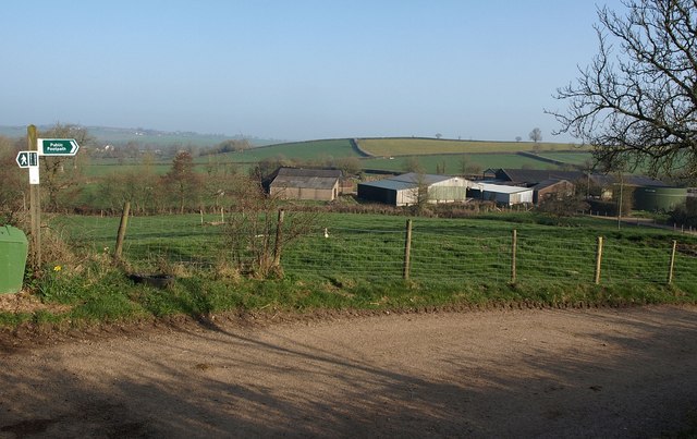
Ellicombe is a small village located in the county of Devon, England. Situated on the western edge of Exmoor National Park, it is surrounded by picturesque countryside and offers breathtaking views of the Bristol Channel. The village is nestled in a valley, with the nearby towns of Minehead and Porlock just a short distance away.
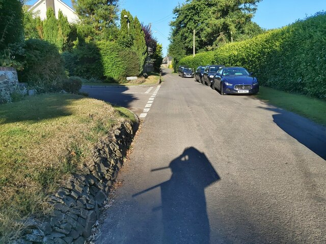
Ellicombe is known for its peaceful and tranquil atmosphere, making it an ideal destination for those seeking a relaxing getaway. The village is characterized by charming cottages and historic buildings, showcasing traditional architectural styles. It has a close-knit community, with a population of around 200 residents.
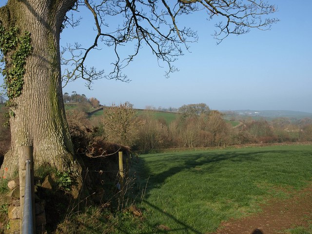
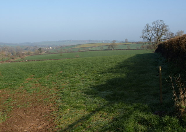
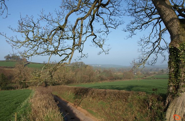
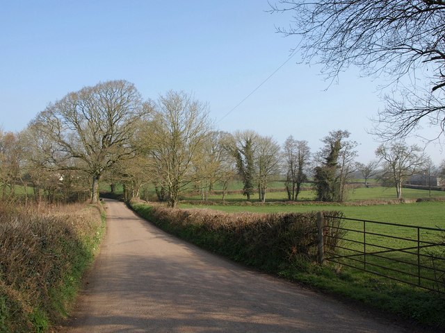
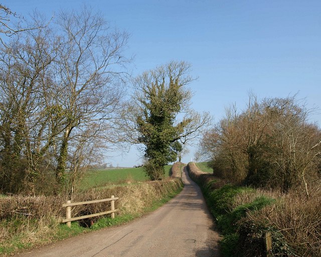
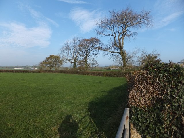
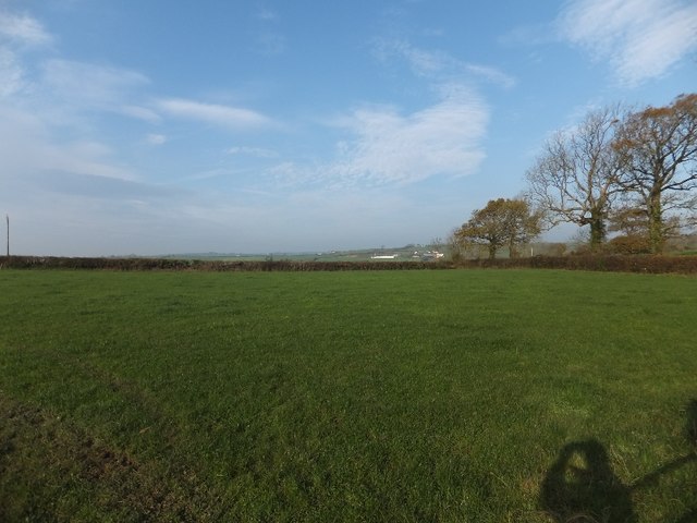
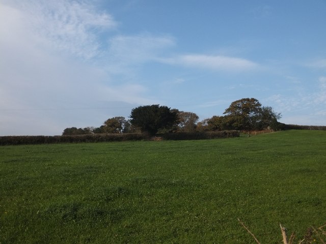
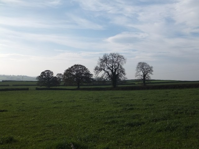
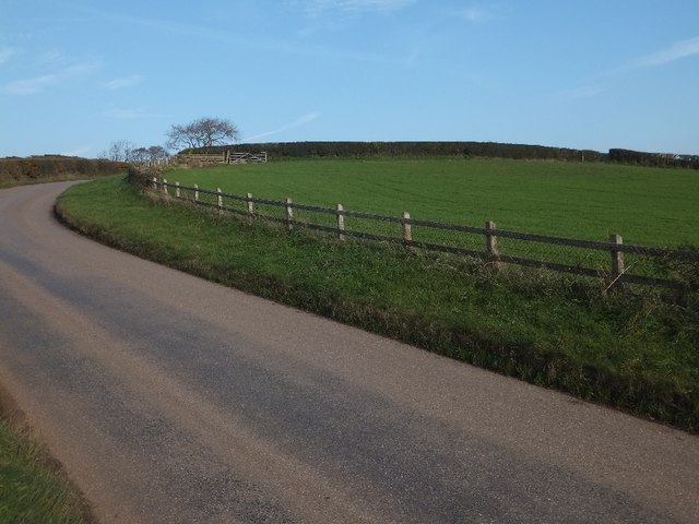
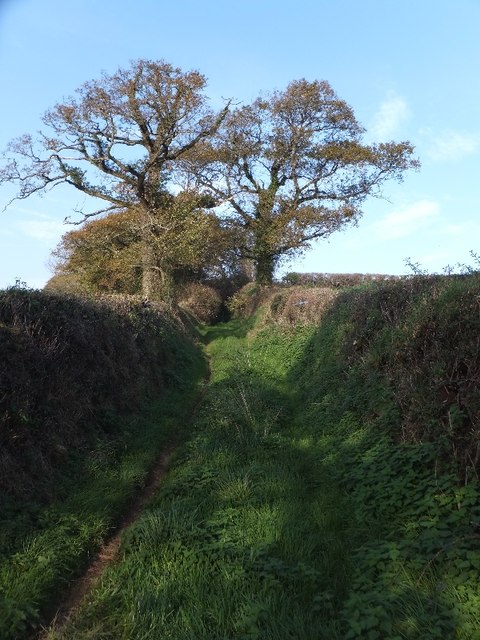
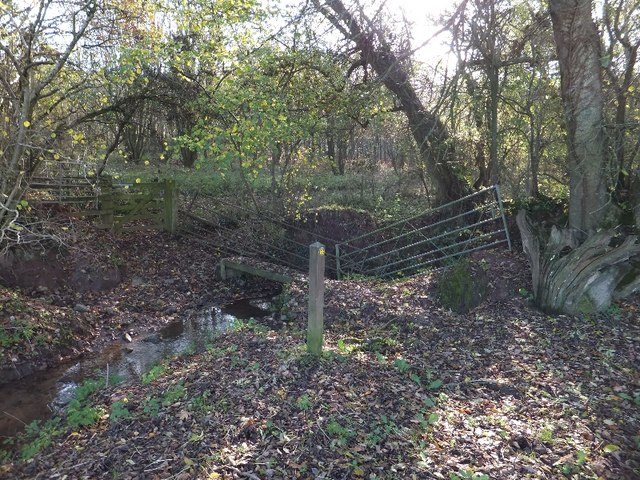
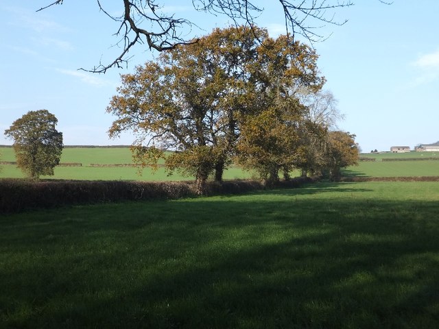
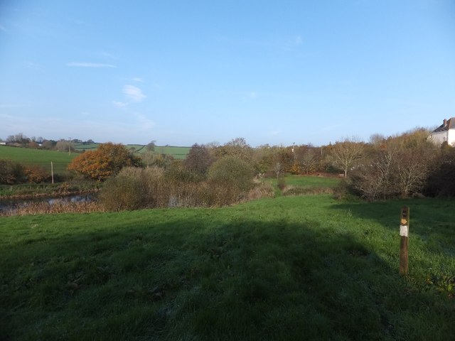
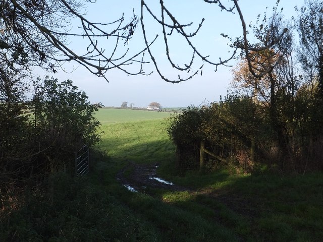
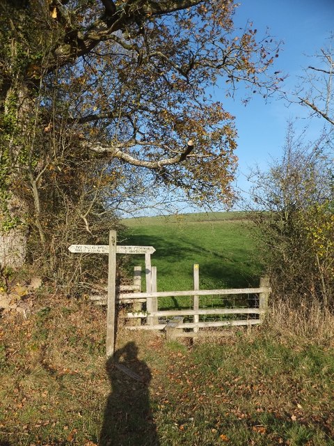
Nature enthusiasts will find Ellicombe to be a paradise, as it is surrounded by stunning natural beauty. The area is home to a variety of wildlife, including deer, birds, and rare plant species. Numerous walking trails and footpaths crisscross the landscape, providing opportunities for outdoor activities such as hiking and cycling.
For history buffs, Ellicombe offers a glimpse into the past. The village has a rich heritage, with several ancient landmarks and historic sites. One notable attraction is the medieval Ellicombe Manor, which dates back to the 14th century. Visitors can explore its well-preserved architecture and learn about its fascinating history.
Though small, Ellicombe has a strong sense of community and a range of amenities to cater to its residents. These include a village hall, a local pub, and a community-run shop. The village also hosts various events and activities throughout the year, bringing the community together.
Overall, Ellicombe is a charming and idyllic village, offering a peaceful retreat for nature lovers and history enthusiasts alike.
If you have any feedback on the listing, please let us know in the comments section below.
Ellicombe Images
Images are sourced within 2km of 50.832152/-3.7843706 or Grid Reference SS7405. Thanks to Geograph Open Source API. All images are credited.
Ellicombe is located at Grid Ref: SS7405 (Lat: 50.832152, Lng: -3.7843706)
Administrative County: Devon
District: Mid Devon
Police Authority: Devon and Cornwall
What 3 Words
///breaches.breeze.stretcher. Near Morchard Bishop, Devon
Nearby Locations
Related Wikis
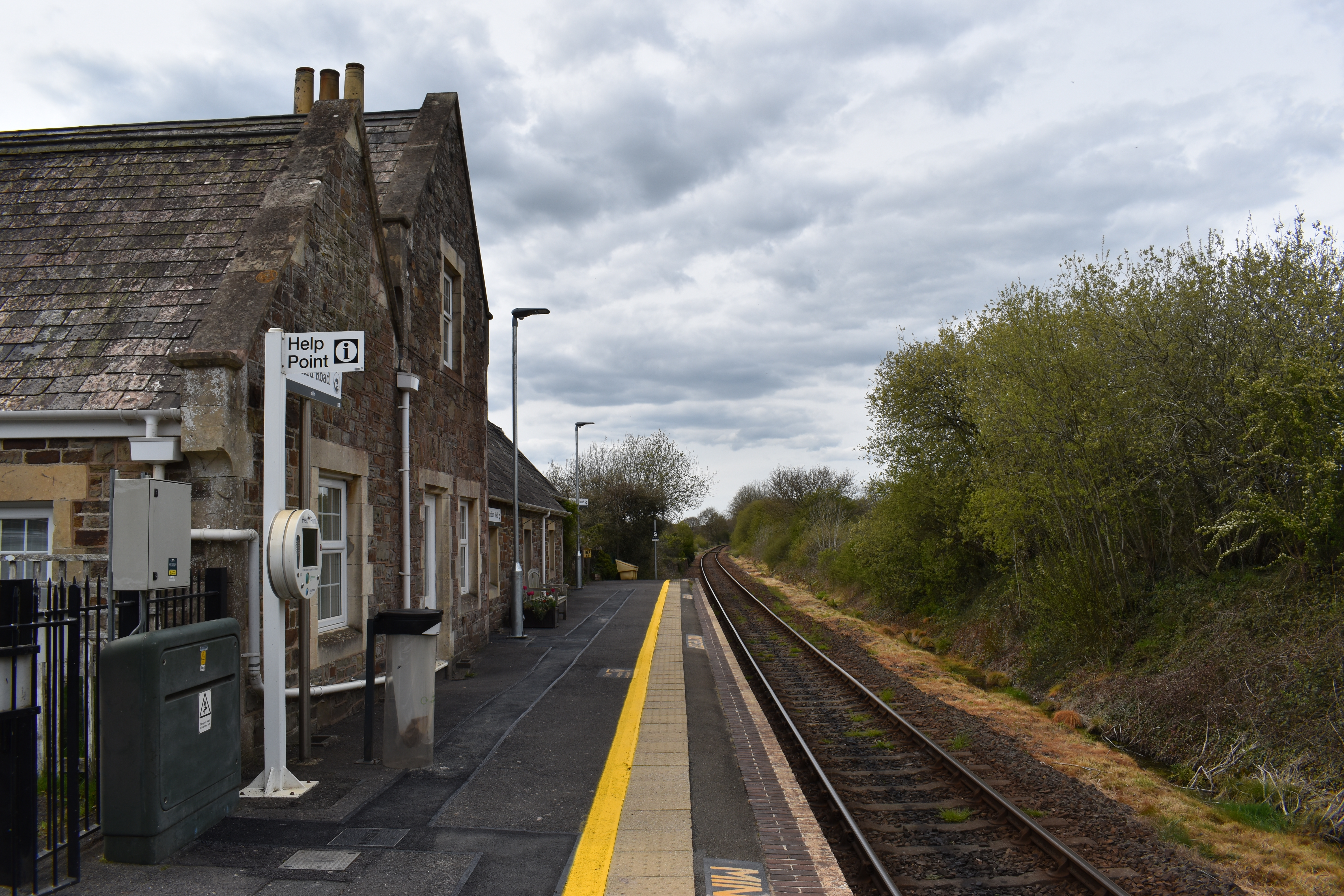
Morchard Road railway station
Morchard Road railway station is located in the village of Down St Mary in Devon, England. It is named after the village of Morchard Bishop which lies...

Morchard Road
Morchard Road is a small hamlet in mid Devon, UK. It has a pub, the Devonshire Dumpling. It also has a railway station on the Tarka Line. == External... ==

Down St Mary
Down St Mary is a small village, and civil parish off the A377 in Mid Devon in the English county of Devon. It has a population of 316. == References... ==
Clannaborough
Clannaborough is a parish in the county of Devon, England, situated about 5+1⁄2 miles north-west of the town of Crediton and 11 miles north-east of Okehampton...

Zeal Monachorum
Zeal Monachorum (; Latin translation Cell of the Monks) is a village and civil parish in the Mid Devon district of Devon, England, about 18 miles (29 km...
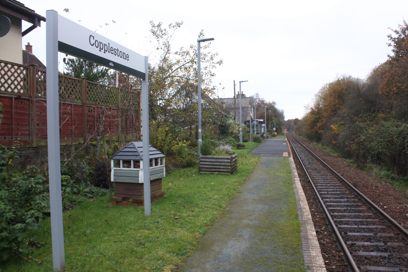
Copplestone railway station
Copplestone railway station is on the Tarka Line serving the village of Copplestone in Devon, England. It is on the Tarka Line to Barnstaple, 14 miles...

Morchard Bishop
Morchard Bishop is a village and civil parish in Mid Devon in the English county of Devon. It has a population of 975, and contains a primary school, two...

Oldborough
Oldborough is a village in Devon, England. It is near the village of Morchard Bishop. Oldborough has a population of just under 1,000 people. The only...
Nearby Amenities
Located within 500m of 50.832152,-3.7843706Have you been to Ellicombe?
Leave your review of Ellicombe below (or comments, questions and feedback).