Elm Estate
Settlement in Yorkshire
England
Elm Estate
Elm Estate is an exquisite countryside property located in Yorkshire, England. Set amidst the rolling hills and picturesque landscapes, this estate offers a serene and idyllic retreat for those seeking tranquility and natural beauty.
Spread across acres of lush greenery, Elm Estate boasts a stunning manor house that dates back to the 18th century. The manor exudes elegance and charm, with its classic Georgian architecture, grandiose façade, and beautifully manicured gardens. It offers a glimpse into the rich history and heritage of the region.
The estate features a range of luxurious amenities, including spacious bedrooms, opulent living areas, and state-of-the-art facilities. The interior design seamlessly blends traditional elements with modern comforts, creating a warm and inviting ambience.
Nature enthusiasts will be delighted by the sprawling gardens, which showcase a variety of native flora and fauna. Elm Estate also offers an extensive network of walking trails, allowing visitors to explore the surrounding countryside and enjoy breathtaking views at every turn.
The estate is ideally located, providing easy access to nearby attractions such as historic landmarks, quaint villages, and renowned national parks. Whether it's exploring the charming local towns, indulging in outdoor activities, or simply unwinding in the lap of nature, Elm Estate offers something for everyone.
Overall, Elm Estate is a remarkable destination that combines luxury with natural beauty. Its rich history, stunning architecture, and idyllic setting make it a truly exceptional place to experience the best of Yorkshire.
If you have any feedback on the listing, please let us know in the comments section below.
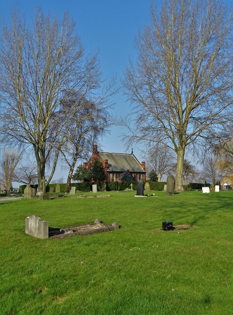
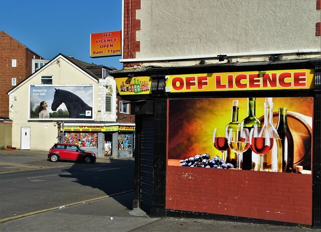
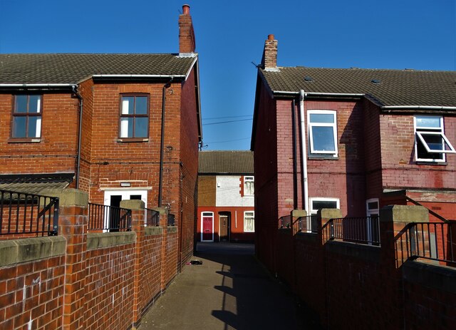
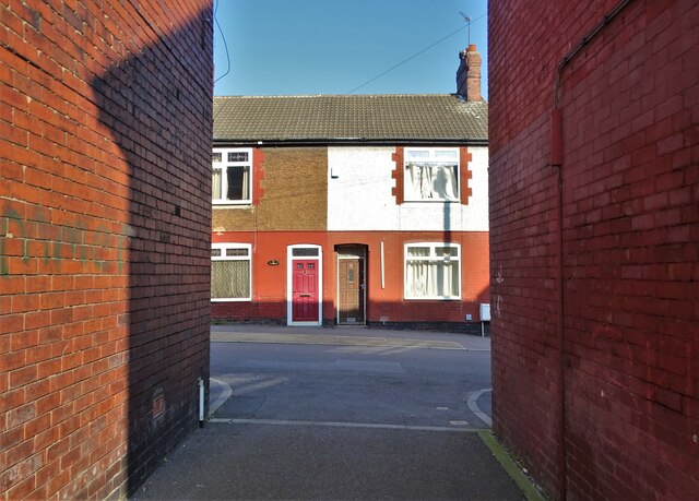
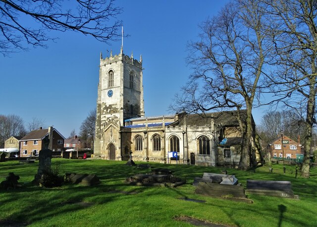
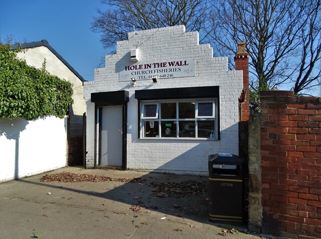
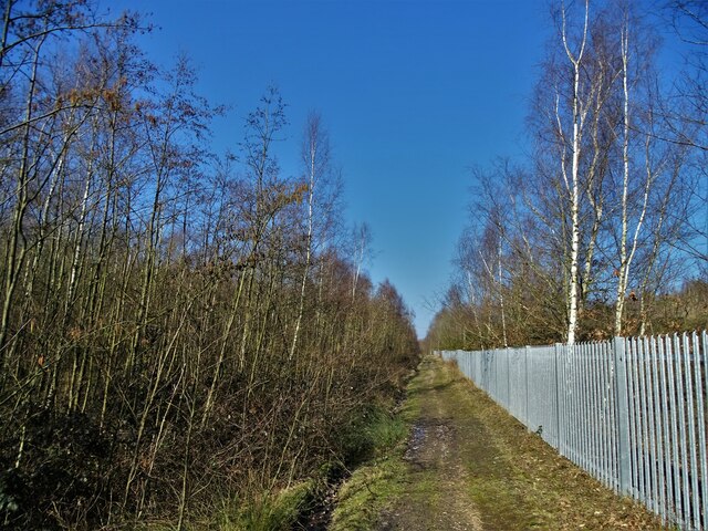
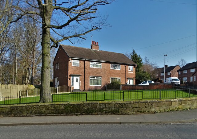
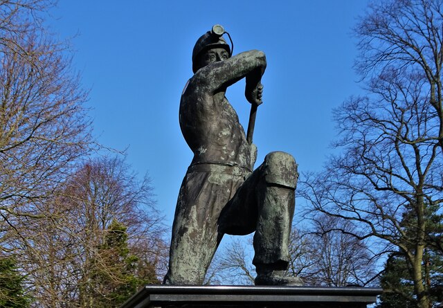
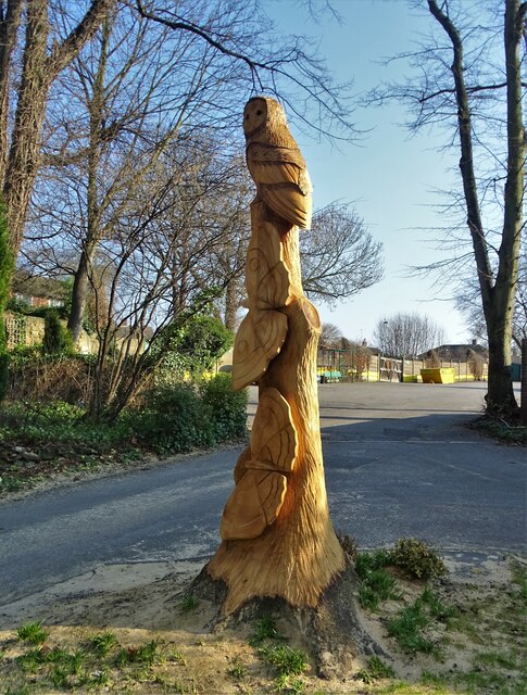
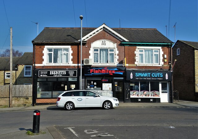
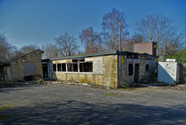
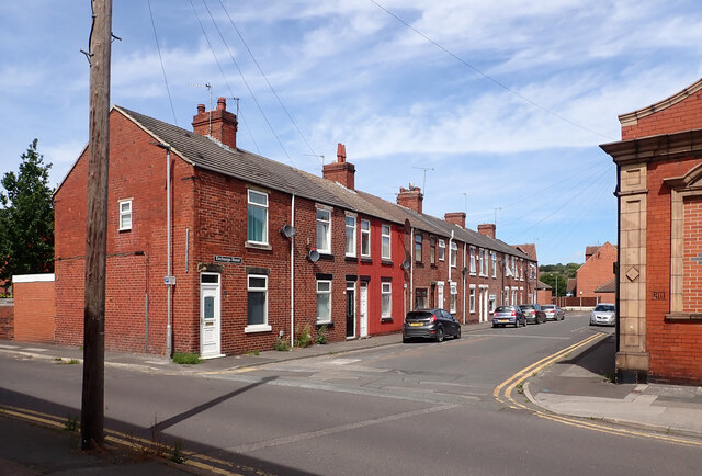
Elm Estate Images
Images are sourced within 2km of 53.594693/-1.2933482 or Grid Reference SE4611. Thanks to Geograph Open Source API. All images are credited.

Elm Estate is located at Grid Ref: SE4611 (Lat: 53.594693, Lng: -1.2933482)
Division: West Riding
Unitary Authority: Wakefield
Police Authority: West Yorkshire
What 3 Words
///clap.clockwork.sues. Near South Elmsall, West Yorkshire
Nearby Locations
Related Wikis

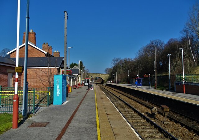
South Elmsall railway station
South Elmsall railway station serves the town of South Elmsall in West Yorkshire, England. It lies on the Wakefield Line operated by Northern 8+3⁄4 miles...

Moorthorpe
Moorthorpe is a village in the civil parish of South Kirkby and Moorthorpe in the City of Wakefield district of West Yorkshire, England. It is governed...
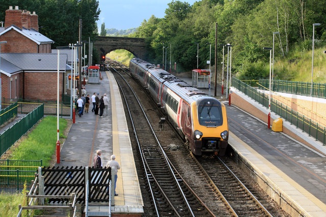
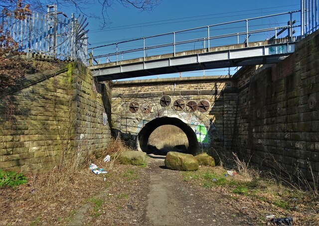
Moorthorpe railway station
Moorthorpe railway station serves the village of Moorthorpe and town of South Kirkby in West Yorkshire, England. It lies on the Wakefield Line and the...

South Kirkby and Moorthorpe
South Kirkby and Moorthorpe is a civil parish in the City of Wakefield in West Yorkshire, England which is governed locally by South Kirkby and Moorthorpe...
Related Videos


Poorest Towns in England - South Kirkby
Why is South Kirkby so poor? South Kirkby appeared in one of our recent videos about the poorest towns in the UK. It's in the 10th ...

FRICKLEY COUNTRY PARK YORKSHIRE
Frickley Country Park is a former colliery site and now is an attractive open space that is enjoyed by familes, dog walkers and ...
Nearby Amenities
Located within 500m of 53.594693,-1.2933482Have you been to Elm Estate?
Leave your review of Elm Estate below (or comments, questions and feedback).