Eggs Tump

Settlement in Worcestershire Forest of Dean

England

Eggs Tump

M50 westbound
M50 westbound Credit: Colin Pyle

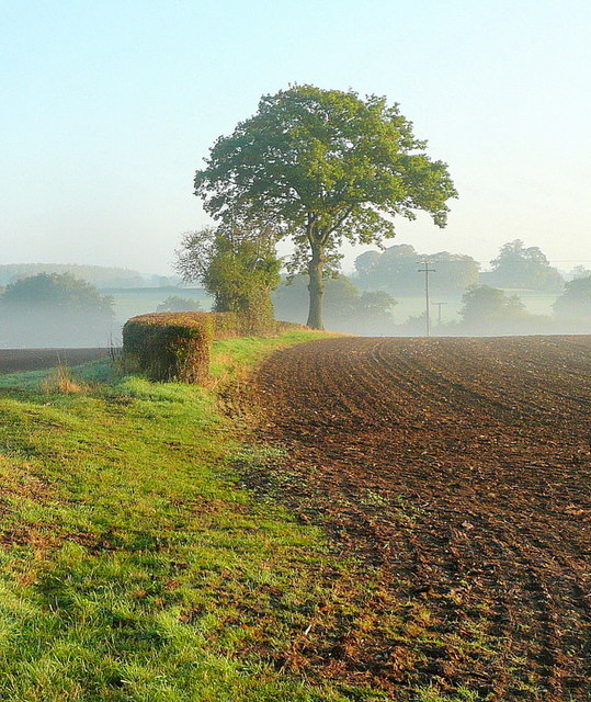
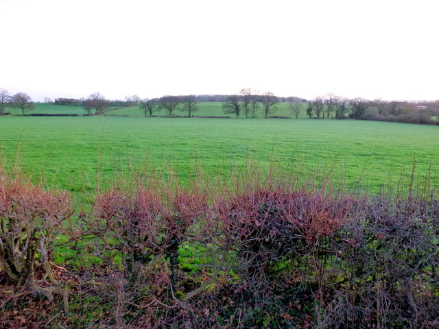
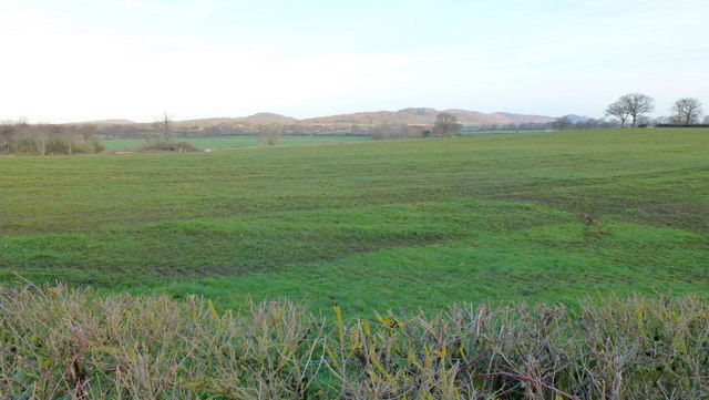
Egg's Tump is a small village located in the county of Worcestershire, England. Situated in the Malvern Hills district, it is nestled within a picturesque countryside setting, surrounded by rolling hills and lush green fields.

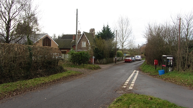
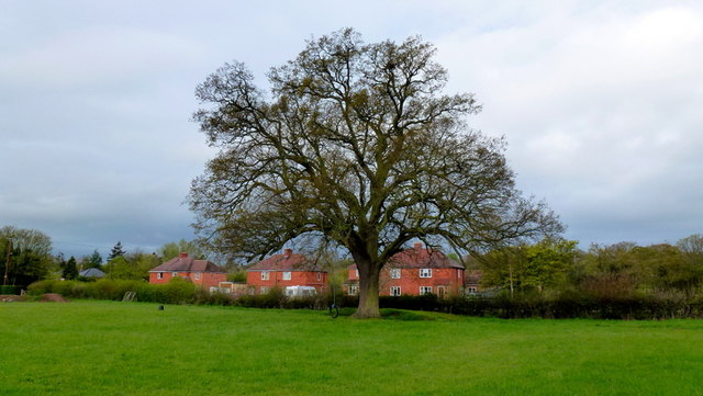
The village is known for its quaint and charming atmosphere, with traditional stone-built houses and a tight-knit community. Its population is relatively small, with just over 100 residents, contributing to the peaceful and tranquil ambiance.

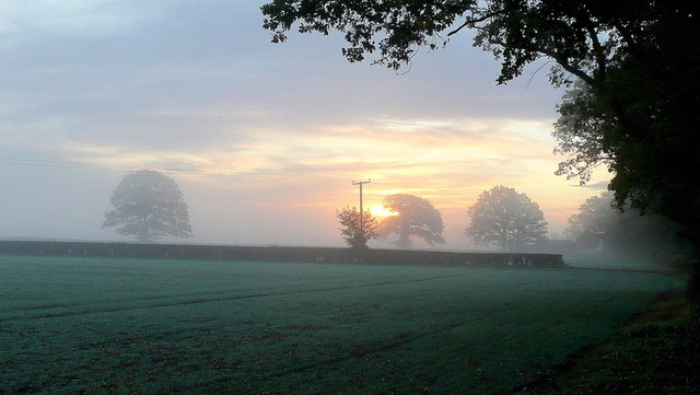
Egg's Tump benefits from its proximity to the stunning Malvern Hills, an Area of Outstanding Natural Beauty. This makes it an ideal destination for outdoor enthusiasts, who can enjoy activities such as hiking, biking, and horse riding on the various trails and paths that wind through the hills.

The village itself does not offer many amenities, as it primarily serves as a residential area. However, nearby towns and villages provide essential services such as shops, schools, and healthcare facilities. The town of Great Malvern is just a short drive away and offers a wider range of amenities for residents.

Egg's Tump is also well-connected to larger cities in the region. Worcester, the county town, is approximately 10 miles away, providing easy access to additional services and employment opportunities.

Overall, Eggs Tump offers a peaceful and idyllic lifestyle for those seeking a rural retreat in the heart of Worcestershire's beautiful countryside.

If you have any feedback on the listing, please let us know in the comments section below.
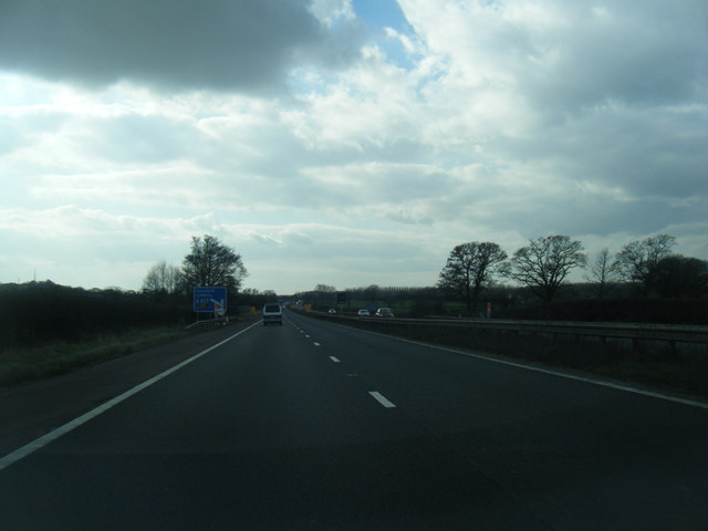
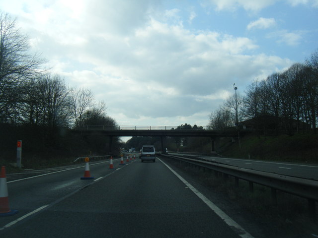
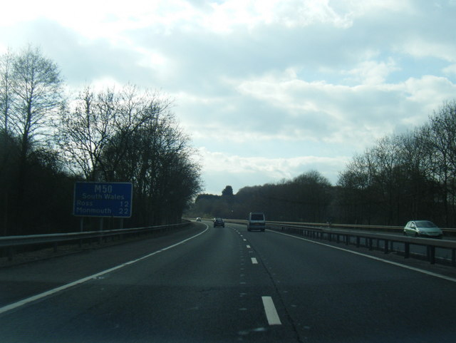
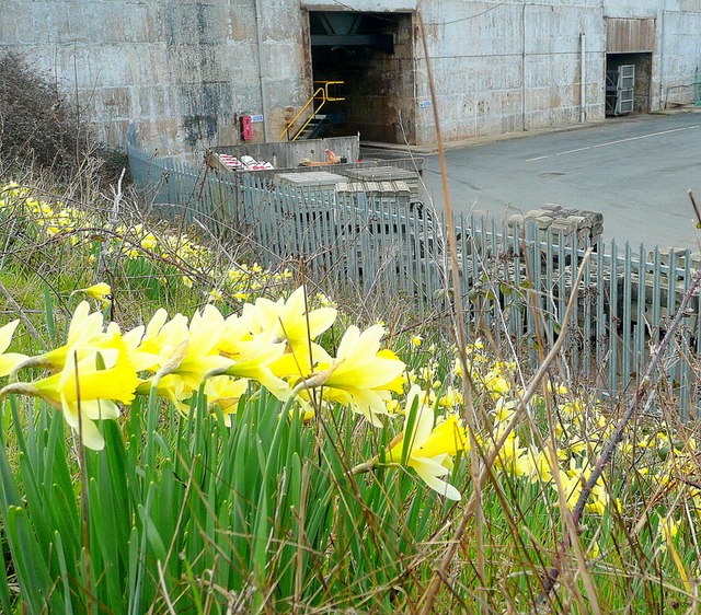
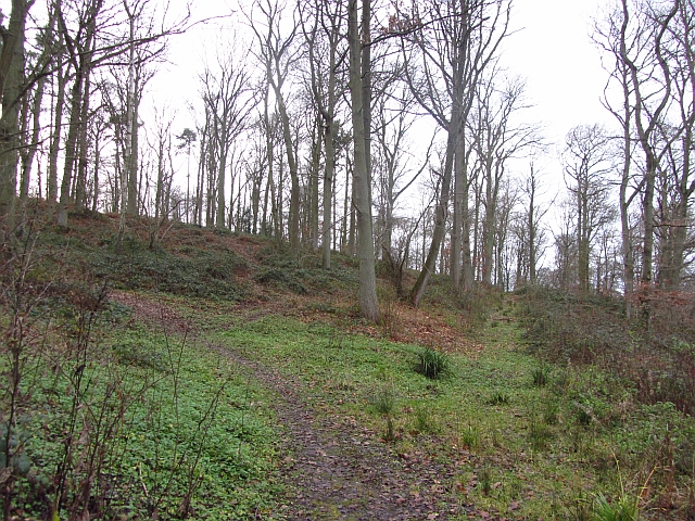
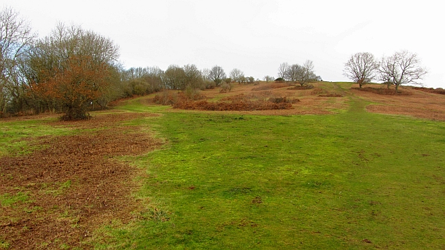
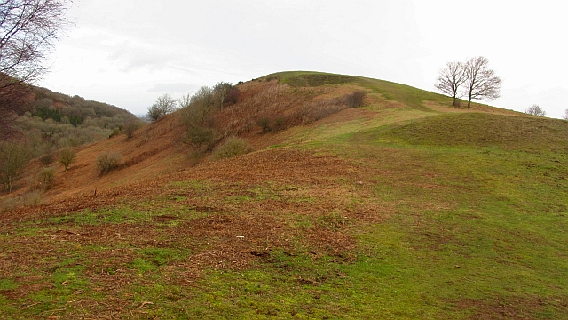
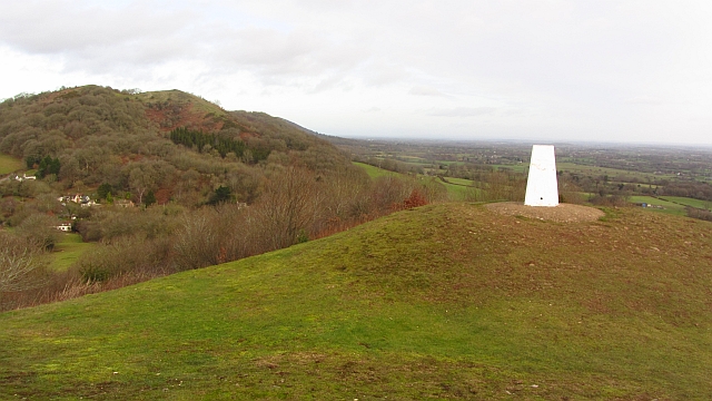
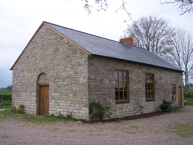
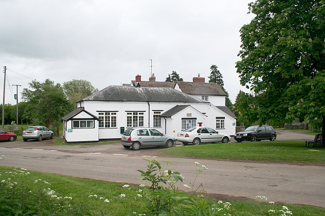
Eggs Tump Images

Images are sourced within 2km of 52.0008/-2.3459345 or Grid Reference SO7633. Thanks to Geograph Open Source API. All images are credited.

M50 westbound
M50 westbound
M50 looking west at junction 2
M50 looking west
M50 looking west
Wild daffodils by the M50 These Narcissus pseudonarcissus clothe the slopes surrounding the Highways Authority depot at Junction 2 of the M50.
Wild daffodils by the M50
These Narcissus pseudonarcissus clothe the slopes surrounding the Highways Authority depot at Junction 2 of the M50.
Autumn edge The morning mist in the shallow Glynch valley is burning off on this fine September day.
Autumn edge
The morning mist in the shallow Glynch valley is burning off on this fine September day.
Autumnal dawn The line of the public path from Pound House to Parkgate.
Autumnal dawn
The line of the public path from Pound House to Parkgate.
Sunrise over the M50 Early morning commuters and delivery drivers are out on the nation's road system.
Sunrise over the M50
Early morning commuters and delivery drivers are out on the nation's road system.
Bracken by the M50 Whilst waiting in a traffic queue I noticed this little slice of autumn out of my passenger side window!
Bracken by the M50
Whilst waiting in a traffic queue I noticed this little slice of autumn out of my passenger side window!
School, Bromesberrow Village primary school and telephone box seen from the green.
School, Bromesberrow
Village primary school and telephone box seen from the green.
Hayes Coppice One of the many small woodlands in the surrounds of the Malvern Hills. This is a great place to visit if you like traditional old English woodland.  This is the Bromesberrow Estate in Gloucestershire, just to the north in Herefordshire is Eastnor which is also well wooded and very light on the Sitka.
 Oaks dominate the deep soils on the sandstones. Further up the hill on thin soils above Uriconian rocks ashes, some huge are the favoured tree.  Sadly the invasive sycamore is too common in the Malvern Hills, it thrived when grazing stopped.
Hayes Coppice
One of the many small woodlands in the surrounds of the Malvern Hills. This is a great place to visit if you like traditional old English woodland. This is the Bromesberrow Estate in Gloucestershire, just to the north in Herefordshire is Eastnor which is also well wooded and very light on the Sitka. Oaks dominate the deep soils on the sandstones. Further up the hill on thin soils above Uriconian rocks ashes, some huge are the favoured tree. Sadly the invasive sycamore is too common in the Malvern Hills, it thrived when grazing stopped.
Chase End Hill Path junction on the southern end of the Malvern Hills. It is much quieter here than up at the Malvern end and the paths are grass or moss covered. The common is about to be grazed again and fencing has been put in to keep the stock in.
In 2001 the Malvern Hills was closed off as part of precautions against foot and mouth disease. I can remember the feeling of being conned when  I later found out that there was no livestock up at the Malvern end as the sheep kept getting out and trashing expensive gardens. There was of course no need whatsoever to close the place down and we were all caught admiring the King's dashing new threads.  
The cessation of grazing has encouraged sycamores as well as the more desirable succession woodlands. Chase End has been regularly mown.
Chase End Hill
Path junction on the southern end of the Malvern Hills. It is much quieter here than up at the Malvern end and the paths are grass or moss covered. The common is about to be grazed again and fencing has been put in to keep the stock in. In 2001 the Malvern Hills was closed off as part of precautions against foot and mouth disease. I can remember the feeling of being conned when I later found out that there was no livestock up at the Malvern end as the sheep kept getting out and trashing expensive gardens. There was of course no need whatsoever to close the place down and we were all caught admiring the King's dashing new threads. The cessation of grazing has encouraged sycamores as well as the more desirable succession woodlands. Chase End has been regularly mown.
Chase End Hill Southern terminus of the Malvern Hills and an Uriconian foothold in Gloucestershire. The march with Worcestershire runs along the ridge with this western side being in Gloucestershire. The common is grazed again after a long period of being left.
Chase End Hill
Southern terminus of the Malvern Hills and an Uriconian foothold in Gloucestershire. The march with Worcestershire runs along the ridge with this western side being in Gloucestershire. The common is grazed again after a long period of being left.
Chase End Hill The summit and triangulation pillar of the southernmost Malvern hill. View towards Raggedstone Hill. Very impressive scenery, great to see so much broadleaved woodland. The benchmark number is S5030.

I am standing just inside Gloucestershire and there is a very good view over the flat and low lying plain in Worcestershire, the flood plain of the Avon and Severn.
Chase End Hill
The summit and triangulation pillar of the southernmost Malvern hill. View towards Raggedstone Hill. Very impressive scenery, great to see so much broadleaved woodland. The benchmark number is S5030. I am standing just inside Gloucestershire and there is a very good view over the flat and low lying plain in Worcestershire, the flood plain of the Avon and Severn.
View towards Berrow Wood Shot at dawn; the pastoral landscape is typical of South Worcestershire.
View towards Berrow Wood
Shot at dawn; the pastoral landscape is typical of South Worcestershire.
View to the Malvern Hills The rising sun is lighting the hills. The foreground pasture has recently had a fragrant application of manure.
View to the Malvern Hills
The rising sun is lighting the hills. The foreground pasture has recently had a fragrant application of manure.
Single track lane near Bromesberrow
Lake in Bromesberrow Park Looking northwards across the man-made lake towards Toney's Coppice on the left and High Wood on the right.
Lake in Bromesberrow Park
Looking northwards across the man-made lake towards Toney's Coppice on the left and High Wood on the right.
Redmarley oak Photo taken pre-leafing on this cold wet April morning.
Redmarley oak
Photo taken pre-leafing on this cold wet April morning.
Show me another place!

Eggs Tump is located at Grid Ref: SO7633 (Lat: 52.0008, Lng: -2.3459345)

Administrative County: Gloucestershire

District: Forest of Dean

Police Authority: Gloucestershire

What 3 Words

///poodle.employer.calibrate. Near Donnington, Herefordshire

Related Wikis

Whiteleaved Oak

Whiteleaved Oak is a hamlet in the English county of Herefordshire, lying in a valley at the southern end of the Malvern Hills between Raggedstone Hill...

Bromsberrow

Bromsberrow (or Bromesberrow) is part of the Forest of Dean district. The village is close to the meeting point between Gloucestershire, Herefordshire...

Pendock

Pendock is a village and civil parish in the Malvern Hills district in the county of Worcestershire, England, situated about halfway between the towns...

Redmarley D'Abitot

Redmarley D'Abitot is a civil parish and village in the Forest of Dean district, Gloucestershire, South West England. In addition to the village of Redmarley...

Rye Cross

Rye Cross is a hamlet in south-west Worcestershire 1 mile west of Castlemorton, 0.5 miles east of Berrow and 1 mile south of Hollybush, near the borders...

Raggedstone Hill

Raggedstone Hill is situated on the range of Malvern Hills that runs approximately 13 kilometres (8 mi) north-south along the Herefordshire-Worcestershire...

Gadfield Elm Chapel

The Gadfield Elm Chapel near the village of Pendock in Worcestershire, England, is the oldest extant chapel of the Church of Jesus Christ of Latter-day...

Berrow, Worcestershire

Berrow is a village and civil parish in the Malvern Hills district of Worcestershire, England, about seven miles east of Ledbury. According to the 2021...

Nearby Amenities

Located within 500m of 52.0008,-2.3459345
Eggs Tump
Place: hamlet
Lat/Long: 52.0015825/-2.3464046
Post Box
Fixme: Have to go there; ref is by conjecture. Need to get GPS pos of roads.
Post Box Type: lamp
Ref: WR13 129
Lat/Long: 51.999066/-2.34473
Kings Green Caravan Park
Power: pole
Transformer: distribution
Voltage Primary: 11000
Lat/Long: 52.0023001/-2.3396091
Power: pole
Lat/Long: 52.0025857/-2.3405559
Power: pole
Lat/Long: 52.002698/-2.3418488
Power: pole
Lat/Long: 52.0027971/-2.343155
Power: pole
Lat/Long: 52.0028928/-2.3444452
Power: pole
Lat/Long: 52.0037597/-2.3456521
Power: pole
Lat/Long: 52.004407/-2.3464461
Power: pole
Lat/Long: 52.0050361/-2.3471783
Power: pole
Lat/Long: 52.0050262/-2.3484175
Power: pole
Lat/Long: 52.004554/-2.3490478
Power: pole
Lat/Long: 52.0039348/-2.3499061
Power: pole
Lat/Long: 52.003413/-2.350633
Power: pole
Lat/Long: 52.003124/-2.3515155
Location Transition: yes
Power: pole
Lat/Long: 52.0028102/-2.3524636
Power: pole
Lat/Long: 52.0029886/-2.3456763
Power: pole
Lat/Long: 52.000489/-2.344708
Power: pole
Lat/Long: 52.0014078/-2.3394991
Power: pole
Lat/Long: 51.9993446/-2.3396074
Power: pole
Lat/Long: 52.0001171/-2.3400416
Kings Green House
Power: pole
Transformer: distribution
Voltage Primary: 11000
Lat/Long: 52.0007351/-2.340741
Power: pole
Lat/Long: 52.0002166/-2.3420459
Power: pole
Lat/Long: 51.9999098/-2.3427446
Cobbs Cross
Power: pole
Transformer: distribution
Voltage Primary: 11000
Lat/Long: 51.9996258/-2.3434681
Power: pole
Lat/Long: 51.999814/-2.3437491
Power: pole
Lat/Long: 52.0012953/-2.3458768
The Kennels
Power: pole
Transformer: distribution
Voltage Primary: 11000
Lat/Long: 52.0010798/-2.3468524
Power: pole
Lat/Long: 52.0008668/-2.3478589
Power: pole
Lat/Long: 52.0007355/-2.3485087
Power: pole
Lat/Long: 52.0010426/-2.349249
Power: pole
Lat/Long: 52.0013877/-2.3500567
Power: pole
Lat/Long: 52.0019219/-2.3513183
Location Transition: yes
Power: pole
Lat/Long: 52.0019525/-2.3513632
The data included in this document is from www.openstreetmap.org. The data is made available under ODbL.

Have you been to Eggs Tump?

Leave your review of Eggs Tump below (or comments, questions and feedback).