Cobb's Cross

Settlement in Worcestershire Forest of Dean

England

Cobb's Cross

Wild daffodils by the M50 These Narcissus pseudonarcissus clothe the slopes surrounding the Highways Authority depot at Junction 2 of the M50.
Wild daffodils by the M50 Credit: Jonathan Billinger

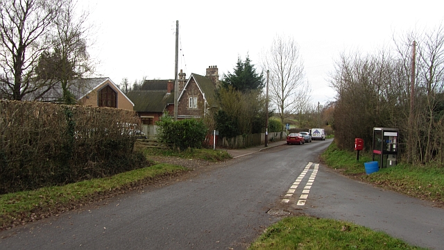
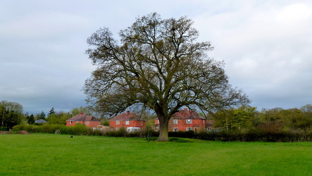
Cobb's Cross is a small village located in the county of Worcestershire, England. Situated in the heart of the picturesque countryside, this rural community offers a peaceful and idyllic setting for its residents.

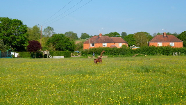
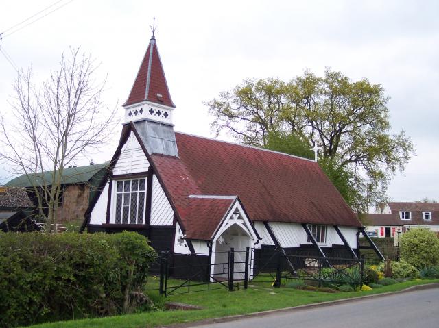
The village is characterized by its charming cottages, many of which date back several centuries, adding a touch of historic charm to the area. The local architecture predominantly consists of traditional red-brick buildings, with well-maintained gardens and green spaces adding to the village's visual appeal.

Cobb's Cross is home to a close-knit community, with a population of around 500 residents. The village boasts a range of amenities, including a local convenience store, a post office, and a village hall, which serves as a hub for social gatherings and community events.

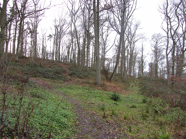
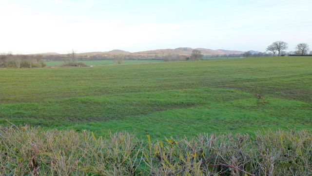
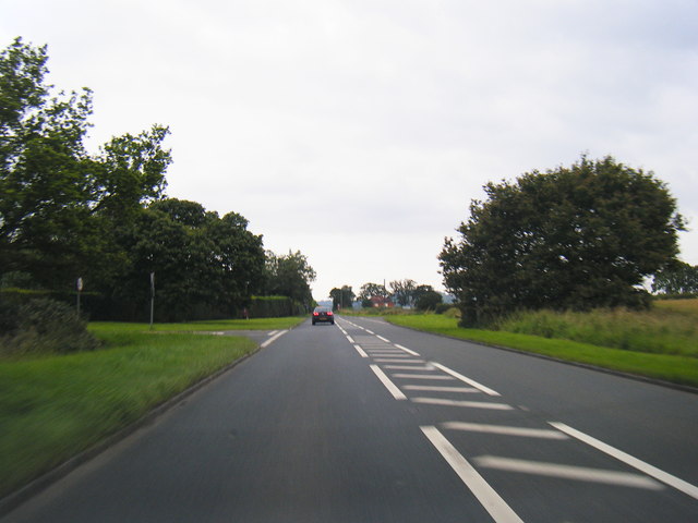
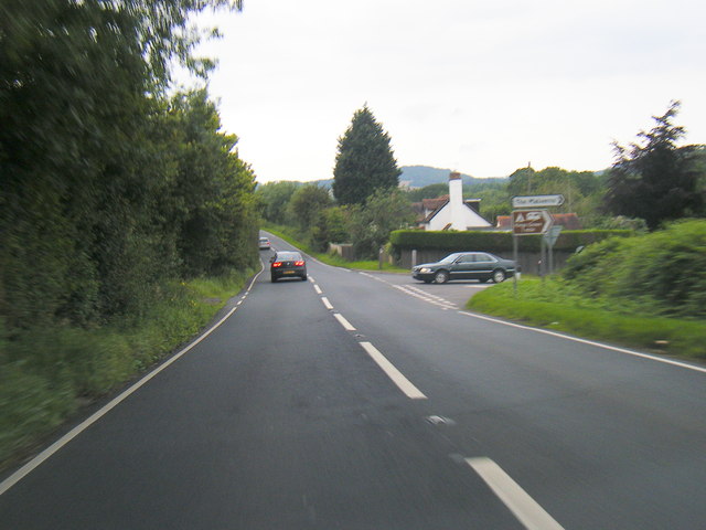
The surrounding countryside offers ample opportunities for outdoor activities, with numerous walking and cycling trails crisscrossing the area. The village is also situated near the banks of the River Avon, providing scenic spots for fishing and boating enthusiasts.

Despite its rural location, Cobb's Cross benefits from good transportation links, with regular bus services connecting the village to nearby towns and cities. The village is approximately 10 miles from the city of Worcester, making it a popular choice for commuters looking to escape the hustle and bustle of urban life.

Overall, Cobb's Cross is a charming village that offers a tranquil and close-knit community, surrounded by beautiful countryside and with easy access to nearby amenities.

If you have any feedback on the listing, please let us know in the comments section below.
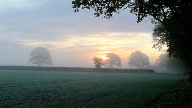
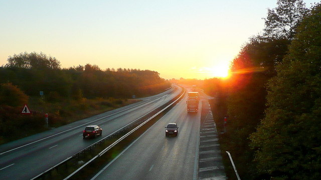
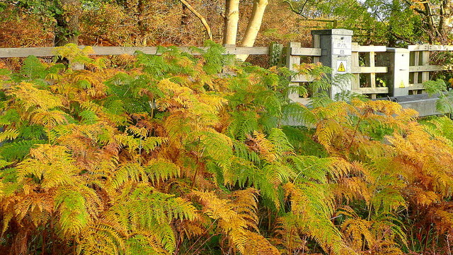
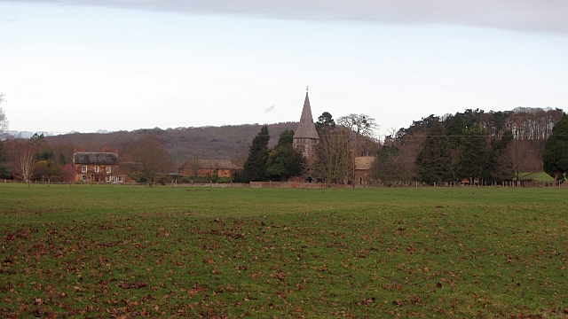
Cobb's Cross Images

Images are sourced within 2km of 51.994923/-2.3509576 or Grid Reference SO7633. Thanks to Geograph Open Source API. All images are credited.

Wild daffodils by the M50 These Narcissus pseudonarcissus clothe the slopes surrounding the Highways Authority depot at Junction 2 of the M50.
Wild daffodils by the M50
These Narcissus pseudonarcissus clothe the slopes surrounding the Highways Authority depot at Junction 2 of the M50.
Chartist Lane, Lowbands Phone box, notice board and bench within this rural community.
Chartist Lane, Lowbands
Phone box, notice board and bench within this rural community.
Autumn edge The morning mist in the shallow Glynch valley is burning off on this fine September day.
Autumn edge
The morning mist in the shallow Glynch valley is burning off on this fine September day.
Tunnel-like bridleway Heading west from Redmarley towards Ryton.
Tunnel-like bridleway
Heading west from Redmarley towards Ryton.
Autumnal dawn The line of the public path from Pound House to Parkgate.
Autumnal dawn
The line of the public path from Pound House to Parkgate.
Sunrise over the M50 Early morning commuters and delivery drivers are out on the nation's road system.
Sunrise over the M50
Early morning commuters and delivery drivers are out on the nation's road system.
Bracken by the M50 Whilst waiting in a traffic queue I noticed this little slice of autumn out of my passenger side window!
Bracken by the M50
Whilst waiting in a traffic queue I noticed this little slice of autumn out of my passenger side window!
A big grass field, Bromesberrow Looking towards the limestone hills at Ledbury, beyond Bromesberrow Court and church.
A big grass field, Bromesberrow
Looking towards the limestone hills at Ledbury, beyond Bromesberrow Court and church.
School, Bromesberrow Village primary school and telephone box seen from the green.
School, Bromesberrow
Village primary school and telephone box seen from the green.
Hayes Coppice One of the many small woodlands in the surrounds of the Malvern Hills. This is a great place to visit if you like traditional old English woodland.  This is the Bromesberrow Estate in Gloucestershire, just to the north in Herefordshire is Eastnor which is also well wooded and very light on the Sitka.
 Oaks dominate the deep soils on the sandstones. Further up the hill on thin soils above Uriconian rocks ashes, some huge are the favoured tree.  Sadly the invasive sycamore is too common in the Malvern Hills, it thrived when grazing stopped.
Hayes Coppice
One of the many small woodlands in the surrounds of the Malvern Hills. This is a great place to visit if you like traditional old English woodland. This is the Bromesberrow Estate in Gloucestershire, just to the north in Herefordshire is Eastnor which is also well wooded and very light on the Sitka. Oaks dominate the deep soils on the sandstones. Further up the hill on thin soils above Uriconian rocks ashes, some huge are the favoured tree. Sadly the invasive sycamore is too common in the Malvern Hills, it thrived when grazing stopped.
View to the Malvern Hills The rising sun is lighting the hills. The foreground pasture has recently had a fragrant application of manure.
View to the Malvern Hills
The rising sun is lighting the hills. The foreground pasture has recently had a fragrant application of manure.
Single track lane near Bromesberrow
Memorial to Marie Every spring this floral tribute by the M50 reminds me of the tragic and as yet (2012) unsolved murder of Marie Wilks in June 1988; see <span class="nowrap"><a title="http://www.bbc.co.uk/herefordandworcester/content/articles/2008/05/14/m50_marie_wilks_timeline_feature.shtml" rel="nofollow ugc noopener" href="http://www.bbc.co.uk/herefordandworcester/content/articles/2008/05/14/m50_marie_wilks_timeline_feature.shtml">Link</a><img style="margin-left:2px;" alt="External link" title="External link - shift click to open in new window" src="https://s1.geograph.org.uk/img/external.png" width="10" height="10"/></span>
Memorial to Marie
Every spring this floral tribute by the M50 reminds me of the tragic and as yet (2012) unsolved murder of Marie Wilks in June 1988; see LinkExternal link
Lake in Bromesberrow Park Looking northwards across the man-made lake towards Toney's Coppice on the left and High Wood on the right.
Lake in Bromesberrow Park
Looking northwards across the man-made lake towards Toney's Coppice on the left and High Wood on the right.
The Redmarley Giraffe Another sculpture in a public setting.
This metal animal can be seen from the A417 at playley Green.
The Redmarley Giraffe
Another sculpture in a public setting. This metal animal can be seen from the A417 at playley Green.
Redmarley oak Photo taken pre-leafing on this cold wet April morning.
Redmarley oak
Photo taken pre-leafing on this cold wet April morning.
A417 at Playley Green
A417 near Hanover Green
Show me another place!

Cobb's Cross is located at Grid Ref: SO7633 (Lat: 51.994923, Lng: -2.3509576)

Administrative County: Gloucestershire

District: Forest of Dean

Police Authority: Gloucestershire

What 3 Words

///stems.twee.betrayed. Near Donnington, Herefordshire

Related Wikis

Redmarley D'Abitot

Redmarley D'Abitot is a civil parish and village in the Forest of Dean district, Gloucestershire, South West England. In addition to the village of Redmarley...

Bromsberrow

Bromsberrow (or Bromesberrow) is part of the Forest of Dean district. The village is close to the meeting point between Gloucestershire, Herefordshire...

Pendock

Pendock is a village and civil parish in the Malvern Hills district in the county of Worcestershire, England, situated about halfway between the towns...

Whiteleaved Oak

Whiteleaved Oak is a hamlet in the English county of Herefordshire, lying in a valley at the southern end of the Malvern Hills between Raggedstone Hill...

Nearby Amenities

Located within 500m of 51.994923,-2.3509576
Motorway Junction
Bury Court Interchange
Exit To: A417 Ledbury, (A438) Hereford
Layer: 3
Ref: 2
Lat/Long: 51.9960133/-2.3568483
Power: pole
Lat/Long: 51.9942313/-2.3566287
Power: pole
Lat/Long: 51.9948647/-2.3578133
Bromesberrow Filling Station
Power: pole
Transformer: distribution
Voltage Primary: 11000
Lat/Long: 51.9935707/-2.3553892
Power: pole
Lat/Long: 51.9934811/-2.3546704
Power: pole
Lat/Long: 51.9932449/-2.3530986
Bury Court
Power: pole
Transformer: distribution
Voltage Primary: 11000
Lat/Long: 51.9930653/-2.3517609
Power: pole
Lat/Long: 51.9926153/-2.3516576
Power: pole
Lat/Long: 51.9921805/-2.351551
Power: pole
Lat/Long: 51.9916887/-2.3514336
Bury Mill
Power: pole
Transformer: distribution
Voltage Primary: 11000
Lat/Long: 51.9913315/-2.3513434
Power: pole
Lat/Long: 51.9909455/-2.3512398
Power: pole
Lat/Long: 51.9906564/-2.3508865
Redmarley Park
Power: pole
Transformer: distribution
Voltage Primary: 11000
Lat/Long: 51.9919513/-2.3470529
Power: pole
Lat/Long: 51.9911949/-2.3476256
The data included in this document is from www.openstreetmap.org. The data is made available under ODbL.

Have you been to Cobb's Cross?

Leave your review of Cobb's Cross below (or comments, questions and feedback).