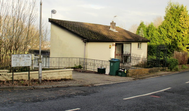
East Usk
Settlement in Monmouthshire
Wales
East Usk
East Usk is a small village located in the county of Monmouthshire, Wales. Situated on the eastern bank of the Usk River, it is nestled amidst picturesque countryside and offers stunning views of the surrounding landscape. The village is approximately 4 miles northeast of the town of Newport, providing residents with easy access to urban amenities while still enjoying a peaceful rural atmosphere.
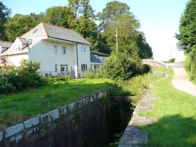
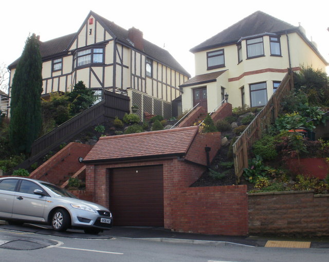
Historically, East Usk was a thriving agricultural community, with farming being a significant economic activity in the area. Today, while agriculture still plays a role in the local economy, the village has evolved into a residential community with a close-knit population. The village maintains its rural charm, with traditional stone cottages and well-manicured gardens dotting the landscape.
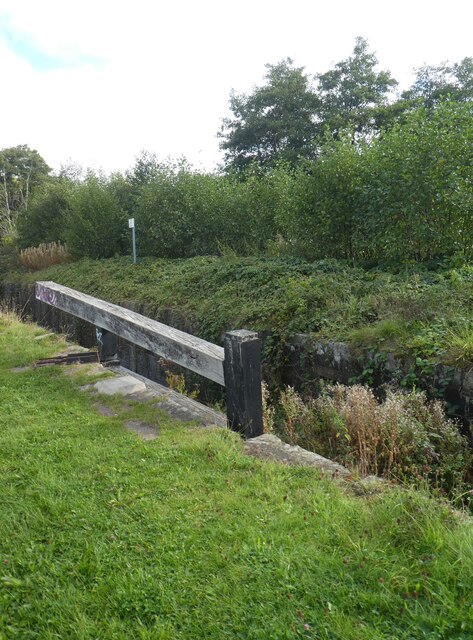
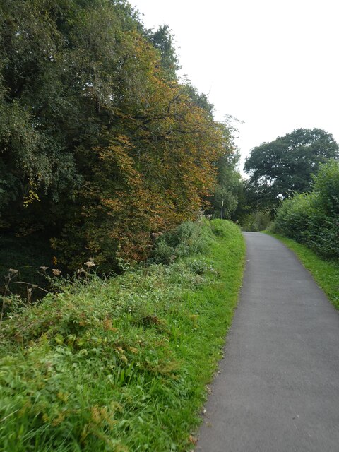
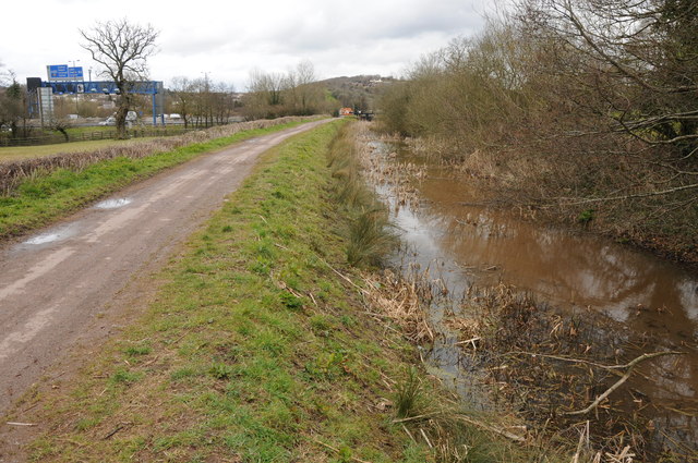
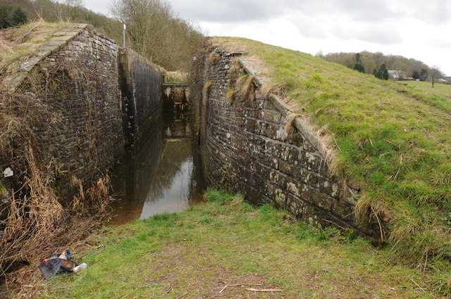
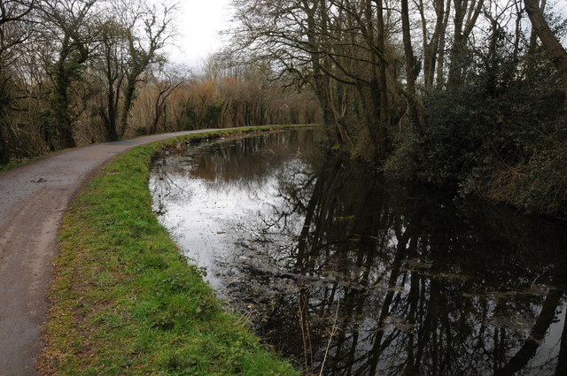
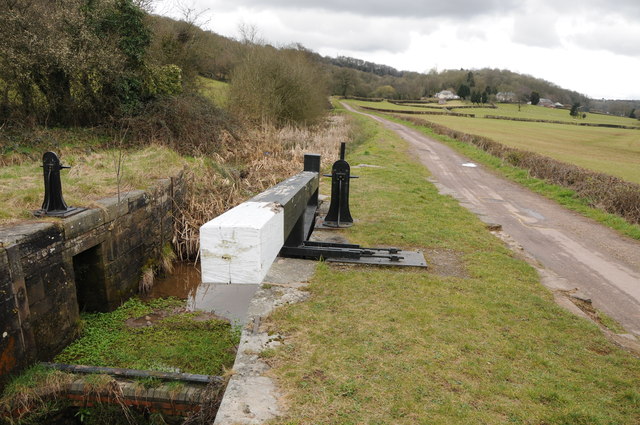
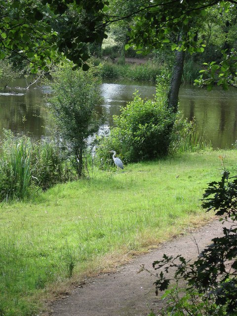
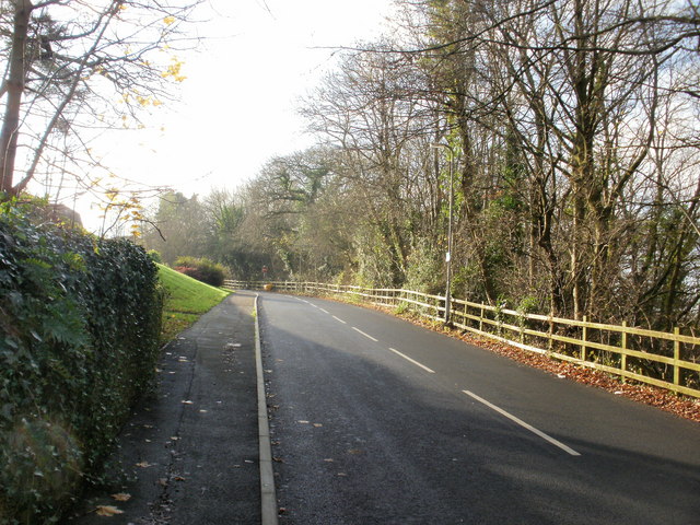
The Usk River is a prominent feature of East Usk, offering opportunities for recreational activities such as fishing, boating, and riverside walks. The nearby Wentwood Forest provides residents with ample opportunities for outdoor pursuits, including hiking and mountain biking.
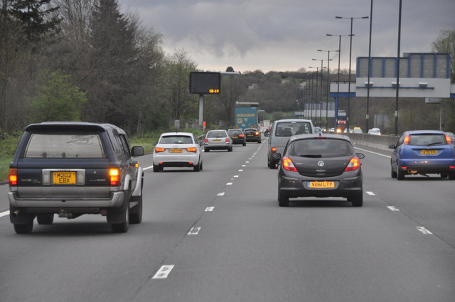
Despite its small size, East Usk benefits from good transport links. The A48 road runs nearby, connecting the village to Newport and the wider road network. Additionally, there are regular bus services that provide convenient access to neighboring towns and villages.
Essential amenities such as shops, schools, and healthcare facilities can be found in nearby Newport, ensuring that residents of East Usk have access to the necessary services and facilities. The village also benefits from a strong sense of community, with various local events and activities organized throughout the year, fostering a friendly and inclusive atmosphere.
If you have any feedback on the listing, please let us know in the comments section below.
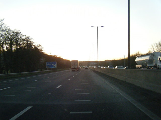
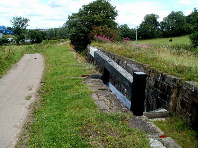
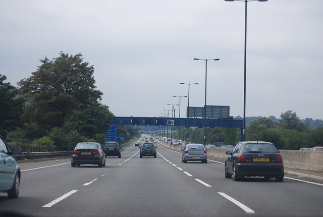
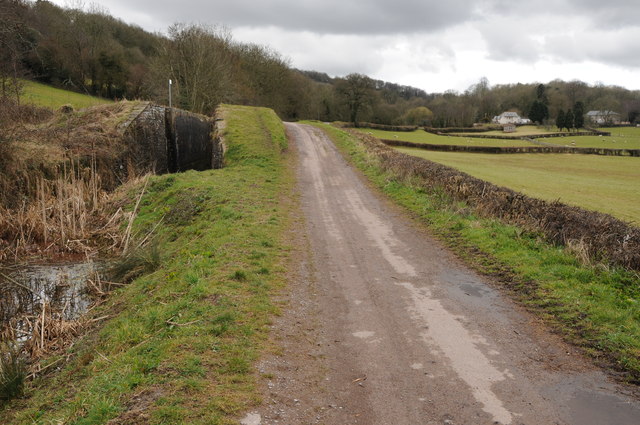
East Usk Images
Images are sourced within 2km of 51.594971/-2.9870223 or Grid Reference ST3188. Thanks to Geograph Open Source API. All images are credited.
East Usk is located at Grid Ref: ST3188 (Lat: 51.594971, Lng: -2.9870223)
Unitary Authority: Newport
Police Authority: Gwent
What 3 Words
///cheat.cubes.vibrate. Near Newport
Nearby Locations
Related Wikis

Barnardtown
Barnardtown is a small area to the east of Newport Bridge in the city of Newport. It is roughly bounded by Duckpool Road, Church Road and Caerleon Road...
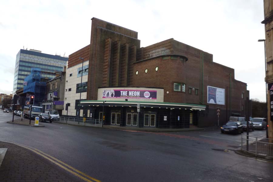
The NEON
The former Newport Odeon, currently trading as The NEON, is a large Grade II listed building in the city of Newport, South Wales. It is located at the...
Newport City Radio
Newport City Radio is a community radio station serving the city of Newport, in south east Wales. It broadcasts online via its website and the TuneIn service...

Crindau Marina
Crindau Marina is a possible development in Crindau, Newport. The marina would provide opportunities for new housing, shops and leisure facilities focused...
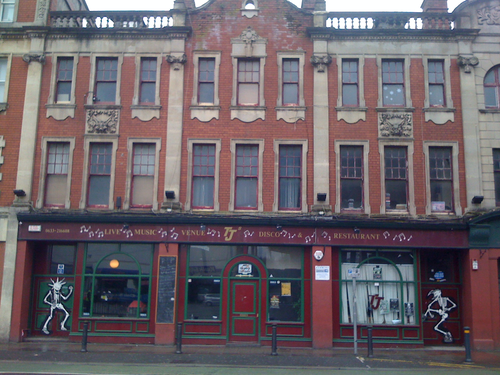
TJ's
TJ's was a music venue and nightclub located on Clarence Place in Newport, South Wales. It opened in 1985 and shortly became a live music venue. It was...

Newport Technical Institute
Newport Technical Institute is a Grade II-listed building in the city centre of Newport, Wales.The red-brick building with a copper dome stands in Clarence...
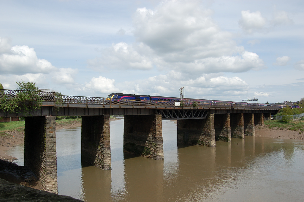
Usk Railway Bridge
The Usk Railway Bridge is a railway viaduct in Newport city centre, Wales. It crosses the River Usk in an east—west direction, carrying the Great Western...
St Julians, Newport
St Julians (Welsh: Sain Silian) is a community and coterminous electoral district (ward) of the City of Newport, South Wales. The community is bounded...
Nearby Amenities
Located within 500m of 51.594971,-2.9870223Have you been to East Usk?
Leave your review of East Usk below (or comments, questions and feedback).