East Watten
Settlement in Caithness
Scotland
East Watten
East Watten is a small village located in the county of Caithness, in the northernmost part of mainland Scotland. Situated approximately 3 miles northeast of the town of Wick, East Watten is nestled in a picturesque rural setting, surrounded by stunning natural landscapes.
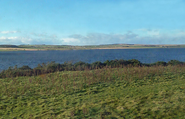
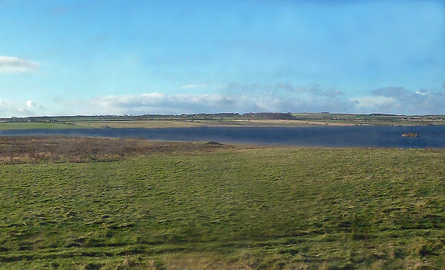
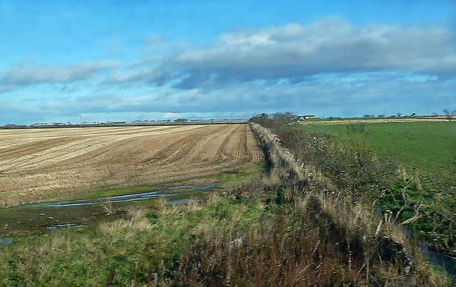
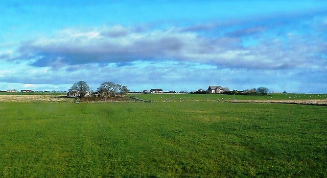
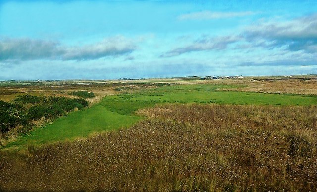
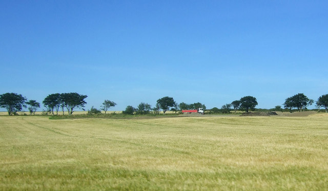
The village is characterized by its tranquil and idyllic atmosphere, offering a peaceful retreat for residents and visitors alike. East Watten is known for its rolling green hills, dotted with sheep grazing in the fields, and its close proximity to the North Sea coastline, which provides breathtaking views and opportunities for coastal walks.
The village itself consists of a small cluster of houses and cottages, with a population of around 200 residents. The local community is tight-knit and welcoming, creating a sense of warmth and familiarity within the village. The residents take pride in maintaining the beauty of their surroundings, with well-kept gardens and flower-filled lanes.
Despite its small size, East Watten boasts a strong sense of community spirit and offers a range of amenities for its residents. These include a local primary school, a village hall that serves as a venue for social gatherings and events, and a small convenience store that caters to the daily needs of the villagers.
For those seeking outdoor activities, East Watten provides ample opportunities. The surrounding area offers excellent fishing spots, with the nearby Loch Watten being particularly renowned for trout fishing. Additionally, the village is also a popular base for avid hikers and nature enthusiasts, with various walking trails and nature reserves in close proximity.
Overall, East Watten is a charming and picturesque village, offering a peaceful and close-knit community in a stunning natural setting.
If you have any feedback on the listing, please let us know in the comments section below.
East Watten Images
Images are sourced within 2km of 58.484025/-3.2655588 or Grid Reference ND2655. Thanks to Geograph Open Source API. All images are credited.


East Watten is located at Grid Ref: ND2655 (Lat: 58.484025, Lng: -3.2655588)
Unitary Authority: Highland
Police Authority: Highlands and Islands
What 3 Words
///hazy.daring.duplicity. Near Wick, Highland
Nearby Locations
Related Wikis
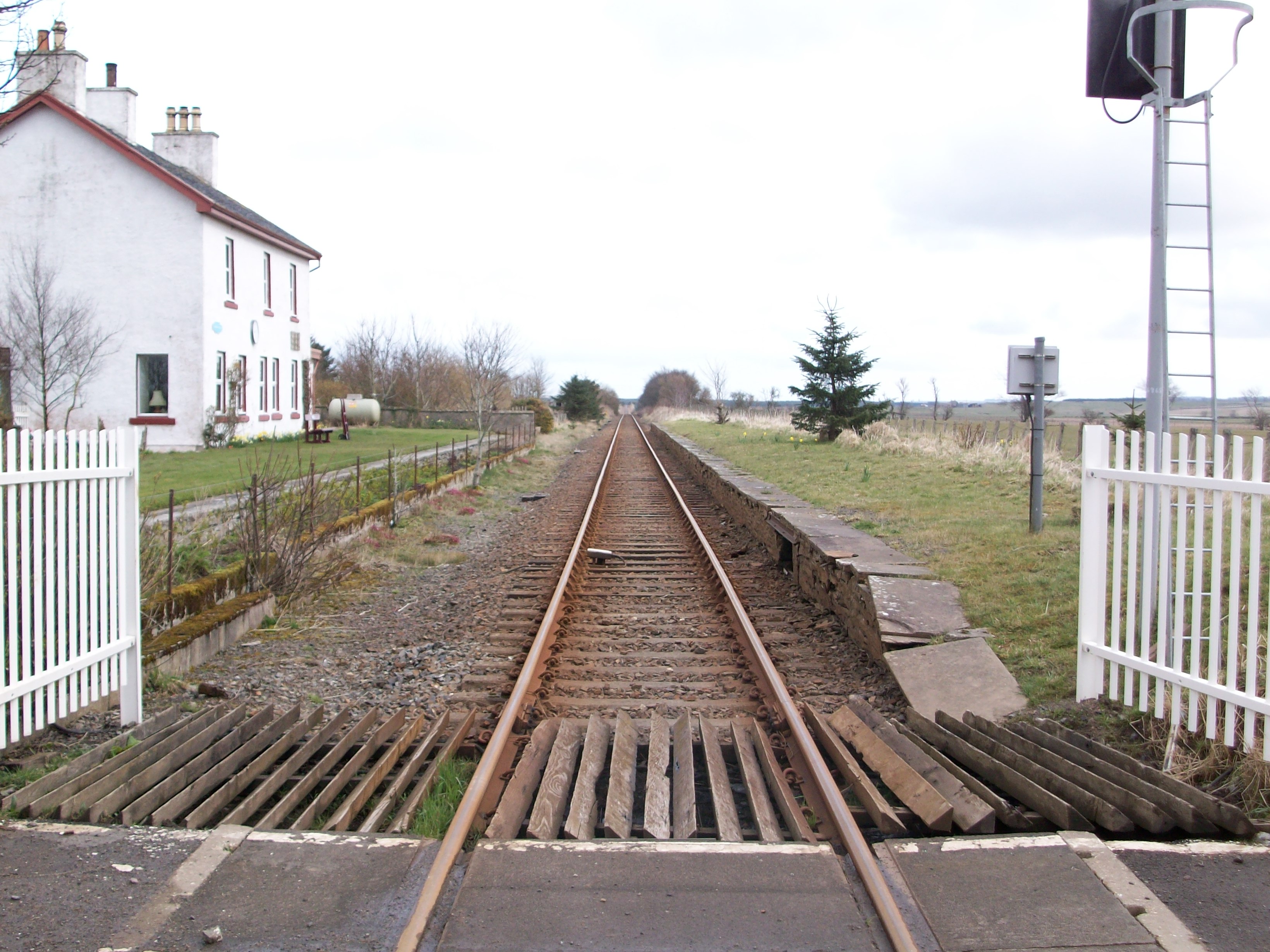
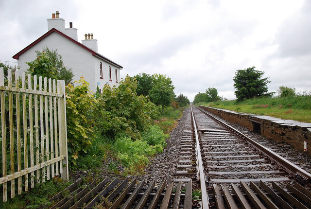
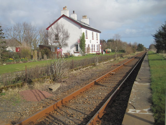
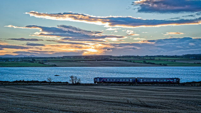
Watten railway station
Watten was a railway station located at the east end of Loch Watten, Highland between Halkirk and Wick, Scotland. The station opened on 28 July 1874. The...

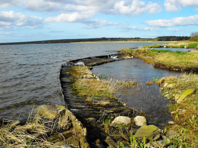
Loch Burn, Watten
Loch Burn is a stream that flows out of the eastern end of Loch Watten in Caithness, in the Highland area of Scotland, at a height of around 20 metres...
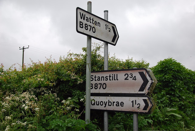
Watten, Highland
Watten (Scottish Gaelic: Bhatan) is a small village in Caithness, in the Highland area of Scotland, on the main road (A882-A9) between the burgh of Wick...
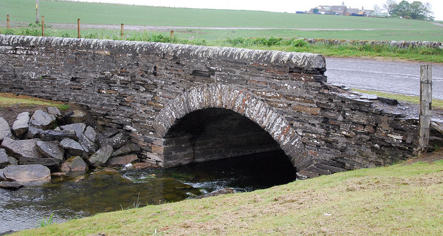
Strath Burn (Wick River tributary)
Strath Burn is a stream which has its source in the Flow Country of Caithness, Scotland, at a height above sea level of around 70 metres, at the confluence...
Nearby Amenities
Located within 500m of 58.484025,-3.2655588Have you been to East Watten?
Leave your review of East Watten below (or comments, questions and feedback).