East Howle

Settlement in Durham

England

East Howle

Linden Road, West Cornforth
Linden Road, West Cornforth Credit: David Robinson

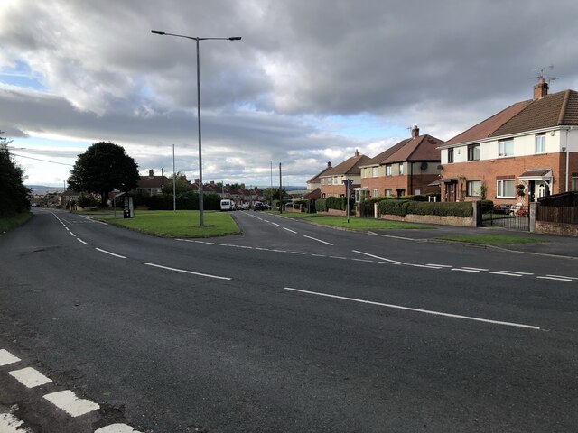
East Howle is a small village located in the county of Durham, England. It is situated approximately five miles southeast of the city of Durham and is part of the district of Sedgefield. Nestled in the picturesque countryside, the village offers a peaceful and idyllic setting for its residents.

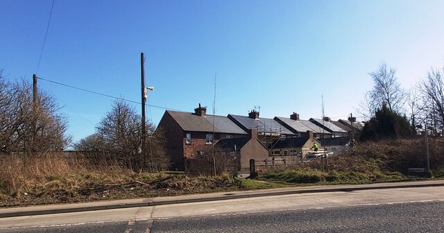
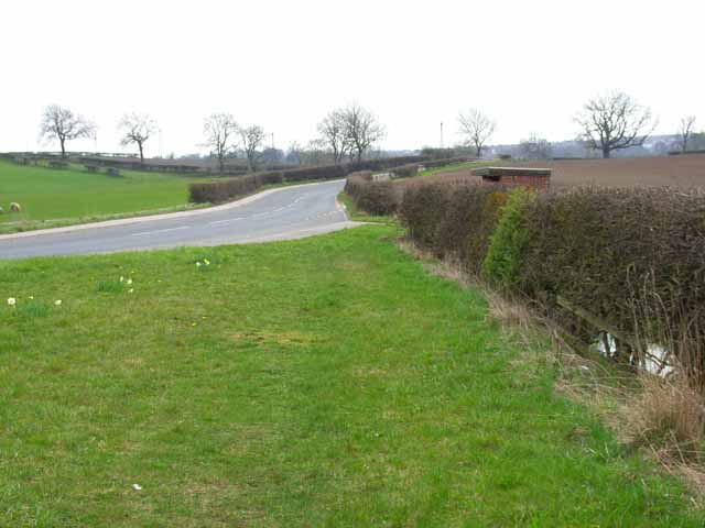
The main feature of East Howle is its charming architecture, with many traditional stone houses and cottages dotting the landscape. The village also boasts a well-maintained village green, which serves as a gathering place for community events and social gatherings. The streets are lined with beautiful trees, adding to the overall beauty of the area.

Despite its small size, East Howle is well-served by local amenities. There is a village hall that hosts various activities and events, providing a focal point for the community. Additionally, a local pub and a small convenience store cater to the daily needs of the residents.

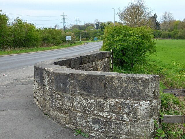
The village is surrounded by rolling hills and farmland, offering ample opportunities for outdoor activities such as hiking, cycling, and horseback riding. The nearby River Wear provides a picturesque backdrop and is popular among fishing enthusiasts.

Transport links in East Howle are relatively limited, with a few bus services connecting the village to nearby towns and cities. However, the village's proximity to Durham allows for easy access to a wider range of amenities and transport options.

Overall, East Howle's serene countryside setting, charming architecture, and strong sense of community make it an attractive place to live for those seeking a quiet and rural lifestyle.

If you have any feedback on the listing, please let us know in the comments section below.
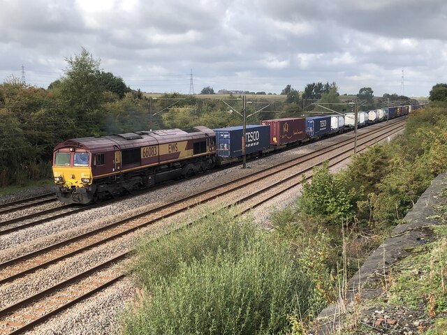
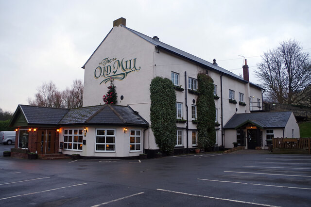
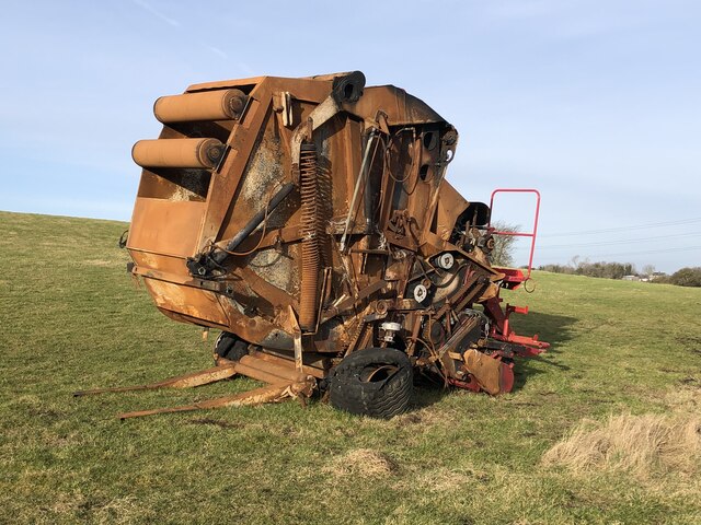
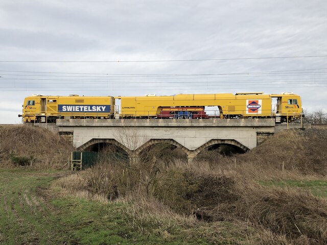
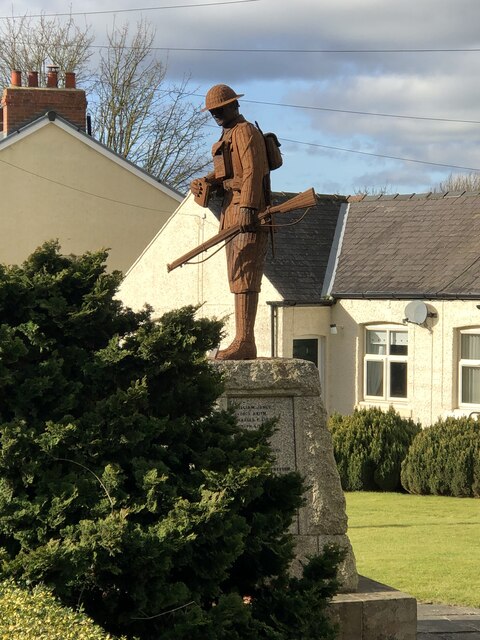
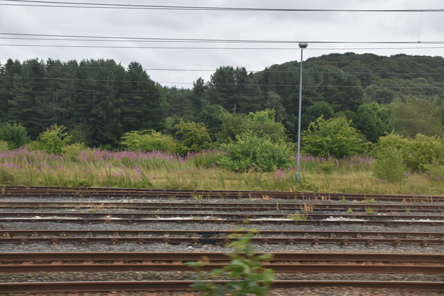
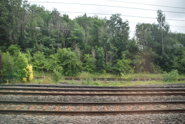
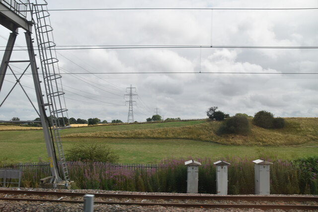
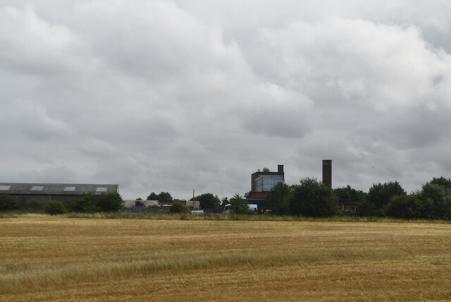
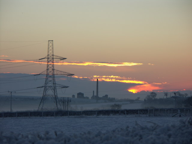
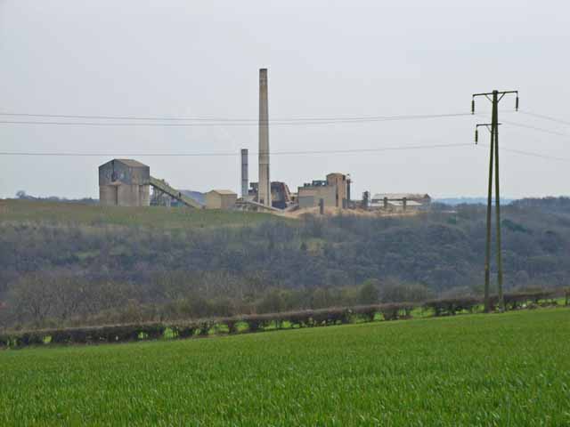
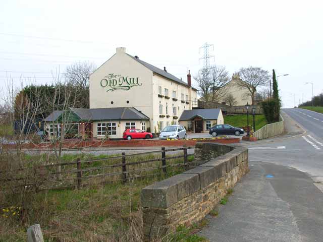
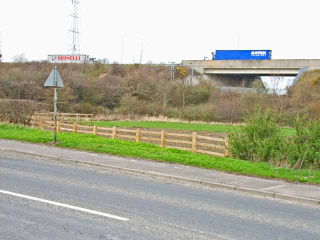
East Howle Images

Images are sourced within 2km of 54.702736/-1.540425 or Grid Reference NZ2934. Thanks to Geograph Open Source API. All images are credited.

Linden Road, West Cornforth
Tursdale
Tursdale
Metal Bridge, old mill bridge The rivet benchmark is cut into the top of the parapet on the north side of Thinford Road.
Metal Bridge, old mill bridge
The rivet benchmark is cut into the top of the parapet on the north side of Thinford Road.
Metal Bridge, old mill bridge There is a rivet benchmark is cut into the top of the parapet on the north side of Thinford Road. It is on the second stone from the right.
Metal Bridge, old mill bridge
There is a rivet benchmark is cut into the top of the parapet on the north side of Thinford Road. It is on the second stone from the right.
Intermodal train at site of former Coxhoe Junction Coxhoe junction formerly had several lines including a flyover across the lines in the image. These former lines included early railways such as the Clarence Railway's branches to Coxhoe & collieries in the Spennymoor area, and the splendidly named Great North of England, Clarence & Hartlepool Junction Railway (GNEC&HJR) which linked the Clarence Railway to Hartlepool Docks. In addition local collieries, quarries, and ironworks at Cornforth, Mainsforth, and Ferryhill were also connected here or close by.

The two remaining tracks on the left are the East Coast Main line, while the two nearest tracks serve as a passing loop, with onward running to Stockton via Stillington in the southerly direction, and formerly running to Gateshead via Leamside in the northerly direction.
Intermodal train at site of former Coxhoe Junction
Coxhoe junction formerly had several lines including a flyover across the lines in the image. These former lines included early railways such as the Clarence Railway's branches to Coxhoe & collieries in the Spennymoor area, and the splendidly named Great North of England, Clarence & Hartlepool Junction Railway (GNEC&HJR) which linked the Clarence Railway to Hartlepool Docks. In addition local collieries, quarries, and ironworks at Cornforth, Mainsforth, and Ferryhill were also connected here or close by. The two remaining tracks on the left are the East Coast Main line, while the two nearest tracks serve as a passing loop, with onward running to Stockton via Stillington in the southerly direction, and formerly running to Gateshead via Leamside in the northerly direction.
The Old Mill, near Tursdale This building dates from 1813 when it opened as a paper mill; it was later also used as a corn mill. That business ceased in 1890 after which it had a variety of uses including as a pub. It is now an up-market inn with 12 en-suite rooms. In this view taken on a dismal December day the external lights are still on even though it is about 9-30am.
The Old Mill, near Tursdale
This building dates from 1813 when it opened as a paper mill; it was later also used as a corn mill. That business ceased in 1890 after which it had a variety of uses including as a pub. It is now an up-market inn with 12 en-suite rooms. In this view taken on a dismal December day the external lights are still on even though it is about 9-30am.
Fire damaged farm machinery Burned out farm equipment
Fire damaged farm machinery
Burned out farm equipment
Tamping machine crossing Tursdale Beck Railway tamping machine - self propelled railway vehicle used to pack the track ballast - heading to its next work area, seen crossing Tursdale Beck on the East Coast Main Line.
Tamping machine crossing Tursdale Beck
Railway tamping machine - self propelled railway vehicle used to pack the track ballast - heading to its next work area, seen crossing Tursdale Beck on the East Coast Main Line.
Tursdale War Memorial Sculpture Sculpture 'Not Much To Ask' by Ray Lonsdale. The sculpture replaced an earlier stone figure that was removed in the 1970s due to damage. The new sculpture was erected and the memorial re-dedicated in 2018.

The artist's work can be found throughout the northeast, often portraying people involved in the regions historic industries.
Tursdale War Memorial Sculpture
Sculpture 'Not Much To Ask' by Ray Lonsdale. The sculpture replaced an earlier stone figure that was removed in the 1970s due to damage. The new sculpture was erected and the memorial re-dedicated in 2018. The artist's work can be found throughout the northeast, often portraying people involved in the regions historic industries.
Multiple lines
Multiple lines
Multiple lines
Multiple lines
Mixed land use
Mixed land use
Tursdale Works
Tursdale Works
Chimney at Thrislington Works, Ferryhill Taken from Thinford, just by the nursery on the A688.
An early morning stop on my way to work.
Chimney at Thrislington Works, Ferryhill
Taken from Thinford, just by the nursery on the A688. An early morning stop on my way to work.
Thrislington Works These works process the output from nearby quarries which are the best deposits of pure dolomite in the country. See <span class="nowrap"><a title="http://www.cornforth.org.uk/thrislington.htm#QUARRIES" rel="nofollow ugc noopener" href="http://www.cornforth.org.uk/thrislington.htm#QUARRIES">Link</a><img style="margin-left:2px;" alt="External link" title="External link - shift click to open in new window" src="https://s1.geograph.org.uk/img/external.png" width="10" height="10"/></span>
Thrislington Works
These works process the output from nearby quarries which are the best deposits of pure dolomite in the country. See LinkExternal link
Cornforth Road, Metal Bridge
The Old Mill, Tursdale See <span class="nowrap"><a title="http://www.theoldmill.uk.com" rel="nofollow ugc noopener" href="http://www.theoldmill.uk.com">Link</a><img style="margin-left:2px;" alt="External link" title="External link - shift click to open in new window" src="https://s1.geograph.org.uk/img/external.png" width="10" height="10"/></span>
The Old Mill, Tursdale
See LinkExternal link
A688 at Metal Bridge The A688 bypasses the old road at Metal Bridge on a high embankment. The blue lorry is crossing the East Coast Main Line
A688 at Metal Bridge
The A688 bypasses the old road at Metal Bridge on a high embankment. The blue lorry is crossing the East Coast Main Line
Show me another place!

East Howle is located at Grid Ref: NZ2934 (Lat: 54.702736, Lng: -1.540425)

Unitary Authority: County Durham

Police Authority: Durham

What 3 Words

///activity.snowballs.views. Near West Cornforth, Co. Durham

Nearby Locations

East Howle Metal Bridge

Related Wikis

Metal Bridge, County Durham

Metal Bridge is a hamlet in County Durham, England, situated a few miles south of Durham. The East Coast Main Line runs directly through Metal Bridge but...

West Cornforth railway station

West Cornforth railway station served the village of West Cornforth, County Durham, England, from 1866 to 1952 on the Great North of England, Clarence...

Chilton, County Durham

Chilton is a town in County Durham, England. It is situated a few miles to the east of Bishop Auckland and a short distance to the south of Ferryhill,...

Ferryhill

Ferryhill is a town in County Durham, England, with an estimated population in 2018 of 9,362. The town grew in the 1900s around the coal mining industry...

West Cornforth

West Cornforth is a village in County Durham, in England. It is situated to the south of Cornforth, near the A1(M) motorway, Coxhoe, Ferryhill and Spennymoor...

The Carrs

The Carrs is a Site of Special Scientific Interest in the Sedgefield district of County Durham, England. It is situated on the eastern outskirts of Ferryhill...

Cornforth

Cornforth is a village in County Durham, England. It is adjacent to the village of West Cornforth, situated a short distance to the north-east of Ferryhill...

Tursdale

Tursdale is a hamlet in County Durham, England. It is situated in rural landscape about two miles to the west of Coxhoe, two miles North of Cornforth and...

Nearby Amenities

Located within 500m of 54.702736,-1.540425
East Howle Junction
Historic Railway: junction
Railway: site
Lat/Long: 54.69937/-1.5403417
Bus Stop
Pine Road
Naptan AtcoCode: 13006717B
Naptan Bearing: NE
Naptan CommonName: Pine Road
Naptan Indicator: north east bound
Naptan Landmark: Landmark not known
Naptan NaptanCode: durdptjd
Naptan Notes: 7 Pine Road- Ferryhill
Naptan Street: Pine Road
Naptan Verified: no
Source: naptan_import
Lat/Long: 54.7030694/-1.5403004
Bus Stop
Pine Road
Naptan AtcoCode: 13006717F
Naptan Bearing: SW
Naptan CommonName: Pine Road
Naptan Indicator: south west bound
Naptan Landmark: Landmark not known
Naptan NaptanCode: durdptjg
Naptan Notes: Opposite 12 Pine Road- Ferryhill
Naptan Street: Pine Road
Naptan Verified: no
Source: naptan_import
Lat/Long: 54.7027012/-1.5403667
Bus Stop
Public House
Naptan AtcoCode: 13006718A
Naptan Bearing: N
Naptan CommonName: Public House
Naptan Indicator: north bound
Naptan Landmark: Landmark not known
Naptan NaptanCode: durdptjm
Naptan Notes: The Tavern- Pine Road- Easthowle- Ferryhill
Naptan Street: Pine Road
Naptan Verified: no
Source: naptan_import
Lat/Long: 54.6993415/-1.5431201
Bus Stop
Public House
Naptan AtcoCode: 13006718E
Naptan Bearing: S
Naptan CommonName: Public House
Naptan Indicator: south bound
Naptan Landmark: Landmark not known
Naptan NaptanCode: durdptjp
Naptan Notes: Opposite the Tavern- Pine Road- East Howle- Ferryhill
Naptan Street: Pine Road
Naptan Verified: no
Source: naptan_import
Lat/Long: 54.699323/-1.5429962
Post Box
Collection Times: Mo-Fr 16:15; Sa 10:30
Drive Through: no
Operator: Royal Mail
Ref: DL17 176
Lat/Long: 54.7035602/-1.5398266
Barrier: kissing_gate
Bicycle: yes
Foot: yes
Lat/Long: 54.6993722/-1.53885
Barrier: kissing_gate
Bicycle: yes
Foot: yes
Lat/Long: 54.6990422/-1.5428782
Power: tower
Lat/Long: 54.7057353/-1.546184
Power: tower
Lat/Long: 54.7066431/-1.541626
Railway: signal
Railway Signal Direction: forward
Railway Signal Main: GB-NR:main
Railway Signal Main Form: light
Railway Signal Main Height: normal
Railway Signal Operator: Network Rail
Railway Signal Position: left
Lat/Long: 54.7011435/-1.5340222
Cookson's Green
Place: farm
Source: OS_OpenData_StreetView
Lat/Long: 54.7023994/-1.5440771
Pine Road
Place: locality
Source Name: OS_OpenData_StreetView
Lat/Long: 54.7033765/-1.5403218
Power: pole
Transformer: distribution
Lat/Long: 54.7027817/-1.5398762
The data included in this document is from www.openstreetmap.org. The data is made available under ODbL.

Have you been to East Howle?

Leave your review of East Howle below (or comments, questions and feedback).